グリューネンプランのおすすめMTBライド
4.6
(2821)
5,787
ライダー
557
ライド
グリューネンプラン周辺でのマウンテンバイクは、その地形を最大限に楽しむのに最適なスポーツですが、ライドのスタート地点を探すのが難しいこともあります。グリューネンプラン周辺でおすすめのルートが見つかるように、人気マウンテンバイクルートをご紹介します。
最終更新日: 10月 15, 2026
4.5
(13)
31
ライダー
21.9km
01:38
300m
300m
中程度のマウンテンバイクライド. ある程度のフィットネスレベルが必要です。 あらゆるスキルレベルに適しています。
4.8
(16)
27
ライダー
中程度のマウンテンバイクライド. ある程度のフィットネスレベルが必要です。 高度なライディングスキルが必要です。

4.8
(12)
23
ライダー
28.0km
02:10
420m
420m
中程度のマウンテンバイクライド. ある程度のフィットネスレベルが必要です。 あらゆるスキルレベルに適しています。
5.0
(11)
22
ライダー
34.4km
02:48
560m
560m
中程度のマウンテンバイクライド. ある程度のフィットネスレベルが必要です。 あらゆるスキルレベルに適しています。
4.6
(5)
21
ライダー
中程度のマウンテンバイクライド. ある程度のフィットネスレベルが必要です。 高度なライディングスキルが必要です。
さらに多くのルートや他のユーザーのおすすめ情報を確認できます。
すでにアカウントをお持ちですか?
おすすめのツアーは他のkomootユーザーが実際に経験した何千ものアクティビティに基づいています。
無料アカウントで今日から始めよう
次の冒険が待っています。
コミュニティからのヒント

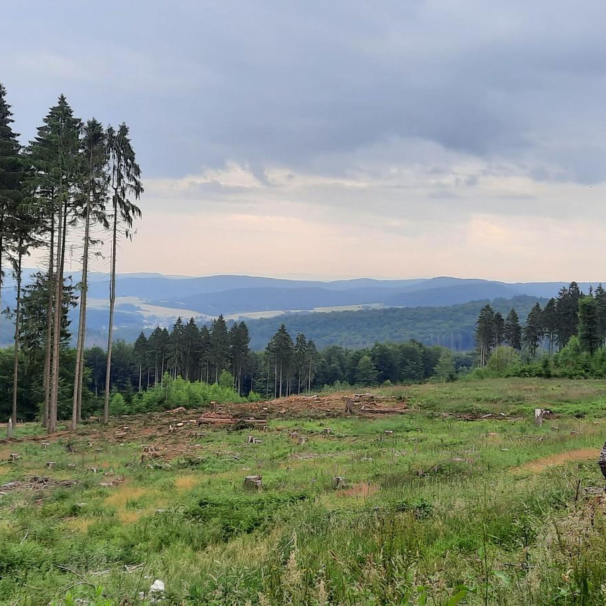
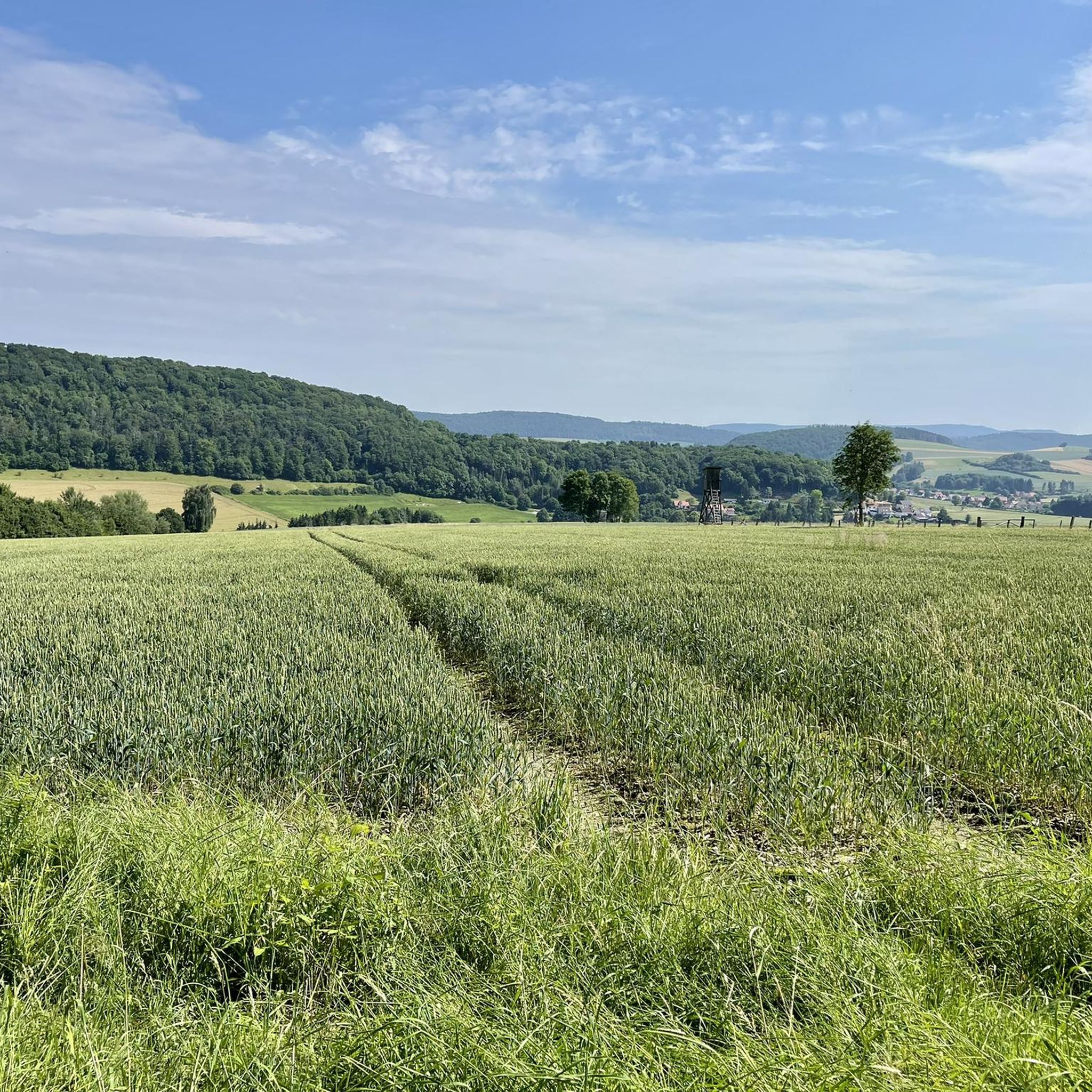
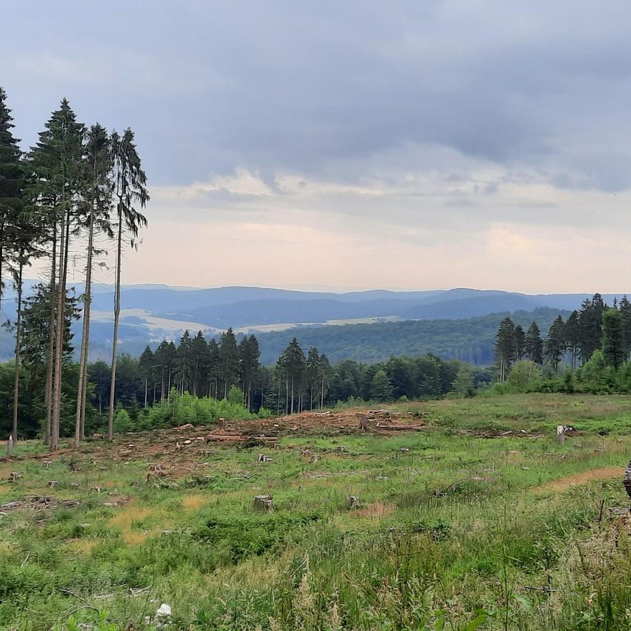
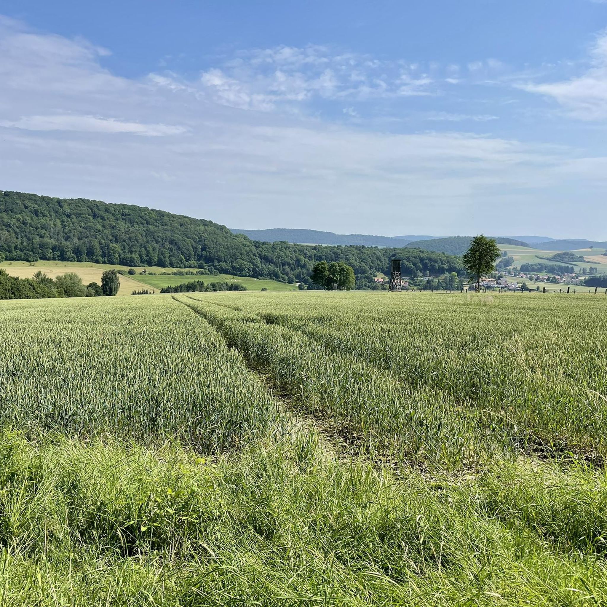
素晴らしいロケーションにデイベッドがあり、素晴らしい景色が楽しめます。また、近くには「Wilde Heimat」のスタンプポイントがあるFeuerschneisenhütteもあります。
0
0

ローター・フックスのハイキング駐車場は、ホルツェンとグルーネンブランの間の道路沿いの峠にあります。ここからヒルズの多くの目的地にアクセスできます。
6
0
ヨハン・ゲオルク・フォン・ランゲンの記念碑は、ハイキング用駐車場にあります。ここからヒルスカムヴェークにアクセスできます。
7
0

The cross dedicated to Saint Barbara stands at an old sandstone quarry.
6
0

Simply a beautiful view (weather permitting :-))
0
0

A good starting point for a run in the Hils. The Kammweg trail runs right past here, and it's only a few hundred meters uphill to the Wilhelm Raabe Tower. The parking lot also offers connections to other destinations in the Hils via the Tanzbergweg, Von Langen Weg, and Promilleweg on the other side of the road. The parking lot has several information boards, a hiking map, and a rest area.
3
0
It's inconspicuous, the highest point of the hill, but richly "decorated" with its chic stone marker, benches, and geodetic point. Unfortunately, there's no view from here, but the path to the Wilhelm Raabe Tower on the Große Sohle isn't far.
2
0

komootモバイルアプリでインスピレーションを得よう


さらに探索
他の地域の最高のMTBトレイルを見てみましょう。
