アルホルツェンのおすすめMTBライド
4.7
(1499)
3,903
ライダー
328
ライド
アルホルツェン周辺でのマウンテンバイクは、その地形を最大限に楽しむのに最適なスポーツですが、ライドのスタート地点を探すのが難しいこともあります。アルホルツェン周辺でおすすめのルートが見つかるように、人気マウンテンバイクルートをご紹介します。
最終更新日: 10月 15, 2026
4.7
(15)
45
ライダー
41.2km
02:51
520m
520m
中程度のマウンテンバイクライド. ある程度のフィットネスレベルが必要です。 高度なライディングスキルが必要です。
5.0
(4)
9
ライダー
29.4km
02:32
780m
780m
中程度のマウンテンバイクライド. ある程度のフィットネスレベルが必要です。 あらゆるスキルレベルに適しています。

5.0
(4)
9
ライダー
39.2km
02:24
420m
420m
中程度のマウンテンバイクライド. ある程度のフィットネスレベルが必要です。 あらゆるスキルレベルに適しています。
5.0
(4)
12
ライダー
58.1km
04:24
970m
970m
難しいマウンテンバイクライド. 標準以上のフィットネスレベルが必要です。 高度なライディングスキルが必要です。
5.0
(8)
15
ライダー
51.3km
03:39
740m
740m
中程度のマウンテンバイクライド. ある程度のフィットネスレベルが必要です。 高度なライディングスキルが必要です。
さらに多くのルートや他のユーザーのおすすめ情報を確認できます。
すでにアカウントをお持ちですか?
おすすめのツアーは他のkomootユーザーが実際に経験した何千ものアクティビティに基づいています。
無料アカウントで今日から始めよう
次の冒険が待っています。
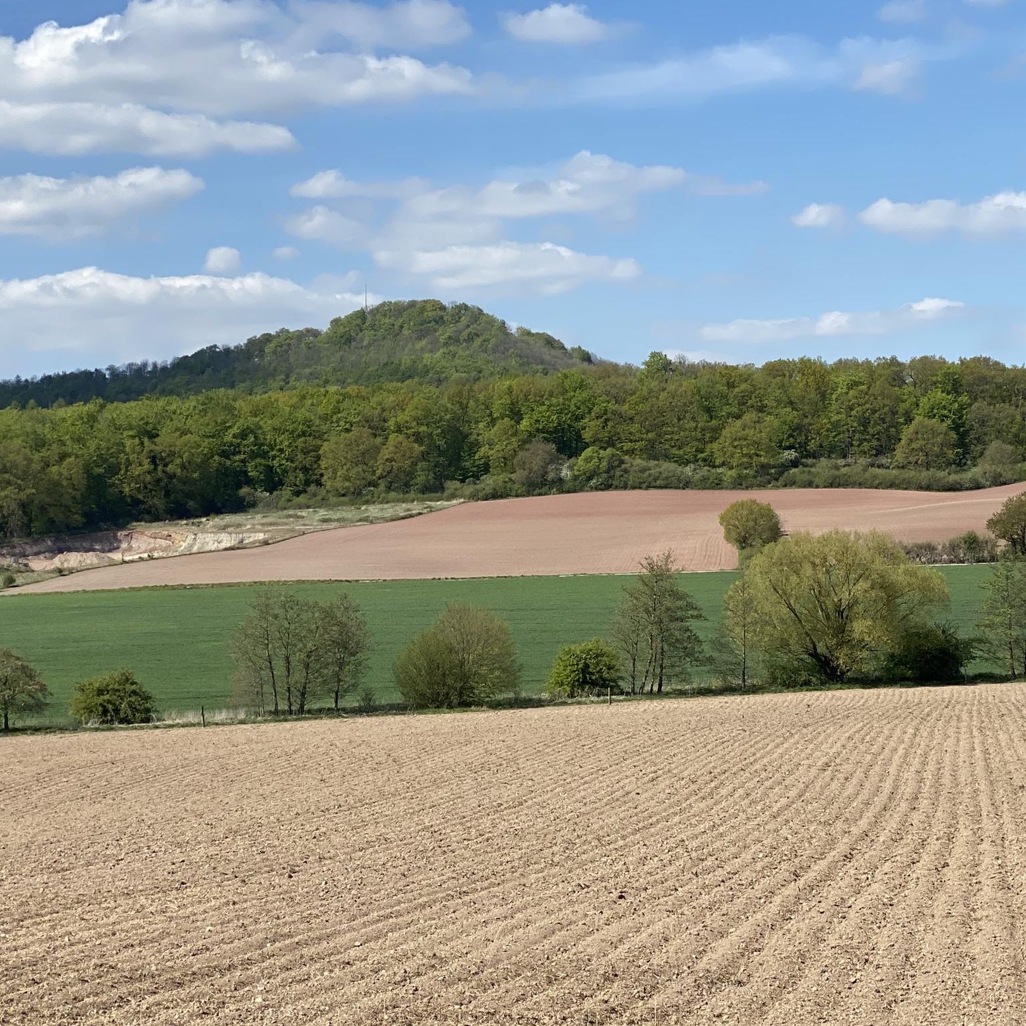
コミュニティからのヒント

With the benches in front, it looks like a cinema
0
0


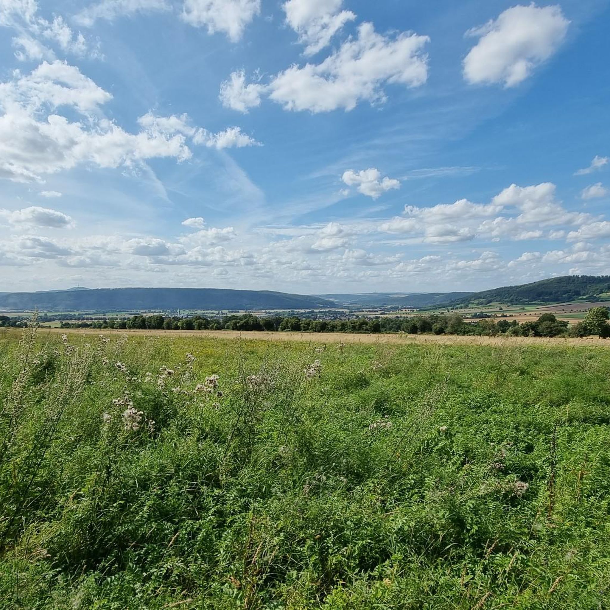
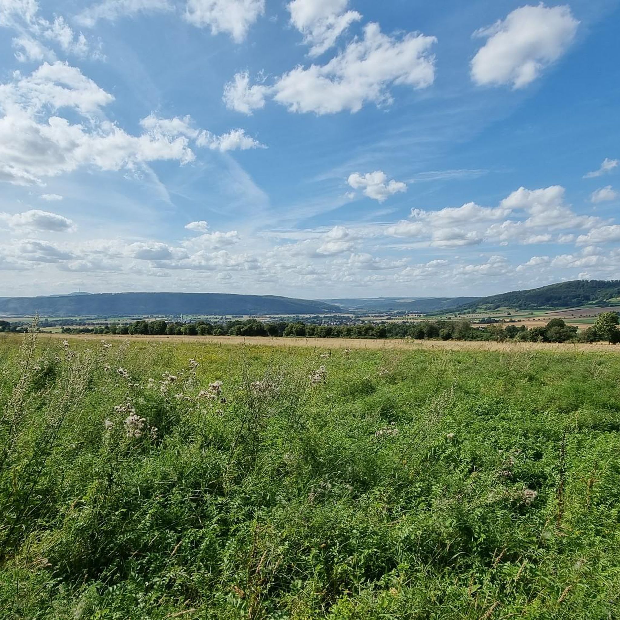
Nestled on the edge of the Vogler hills lies this idyllic viewpoint with a shelter, offering a sweeping panorama of the Rühler Schweiz region. Perched high above the Weser Valley, this spot boasts breathtaking views of the wooded slopes and rolling valleys. The location invites hikers and cyclists to take a break – ideal for enjoying the tranquility of nature or simply letting your gaze wander.
1
0
The Royal Prussian Optical Telegraph Station No. 28 is a significant testament to the early history of communications in the 19th century. It was part of a far-reaching network of telegraph lines established by Prussia to transmit messages quickly and reliably over long distances. The stations operated with a system of movable signal arms that were visible from afar, enabling the transmission of messages in a flash – long before electric telegraphs became widespread. The station was strategically located and served to connect important cities and military installations. From here, messages could be relayed to the next station within minutes, significantly accelerating political and military decision-making. The station's design was functional: A sturdy tower provided sufficient height to make the signals visible over long distances, while adjacent outbuildings housed accommodations for the telegraph operators and storage rooms for technical equipment.
1
0


If I'm not mistaken, it's the beach bar in Holzminden. But it's definitely a worthwhile (intermediate) destination.
0
0


komootモバイルアプリでインスピレーションを得よう


さらに探索
他の地域の最高のMTBトレイルを見てみましょう。
