グロースシェーナウのおすすめウォーキング&ハイキングルート
4.6
(14698)
51,362
ハイカー
227
ハイキング
グロースシェーナウ 周辺でおすすめのハイキングやウォーキングを楽しんでいただけるように、このエリアの小径やルートを集めたkomootコレクション全体を見直しました。 以下で各ルートの詳細をご覧になり、グロースシェーナウ周辺の大自然を満喫する際の参考にしてください。
最終更新日: 10月 14, 2026
4.8
(385)
1,289
ハイカー
6.13km
02:02
300m
300m
中程度のハイキング. ある程度のフィットネスレベルが必要です。 進みやすいルートです。あらゆるスキルレベルに適しています。
4.8
(99)
304
ハイカー
14.5km
04:41
530m
530m
中程度のハイキング. ある程度のフィットネスレベルが必要です。 全般的に進みやすいルートです。安定して歩行できる技術が必要です。

4.8
(351)
1,100
ハイカー
15.0km
04:49
550m
550m
中程度のハイキング. ある程度のフィットネスレベルが必要です。 全般的に進みやすいルートです。安定して歩行できる技術が必要です。
4.8
(105)
371
ハイカー
12.6km
03:57
500m
500m
中程度のハイキング. ある程度のフィットネスレベルが必要です。 進みやすいルートです。あらゆるスキルレベルに適しています。
4.8
(79)
302
ハイカー
8.85km
02:47
330m
330m
中程度のハイキング. ある程度のフィットネスレベルが必要です。 全般的に進みやすいルートです。安定して歩行できる技術が必要です。
さらに多くのルートや他のユーザーのおすすめ情報を確認できます。
すでにアカウントをお持ちですか?
おすすめのツアーは他のkomootユーザーが実際に経験した何千ものアクティビティに基づいています。
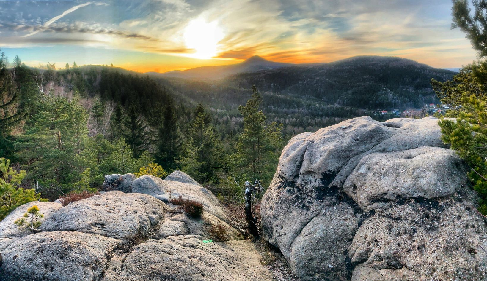
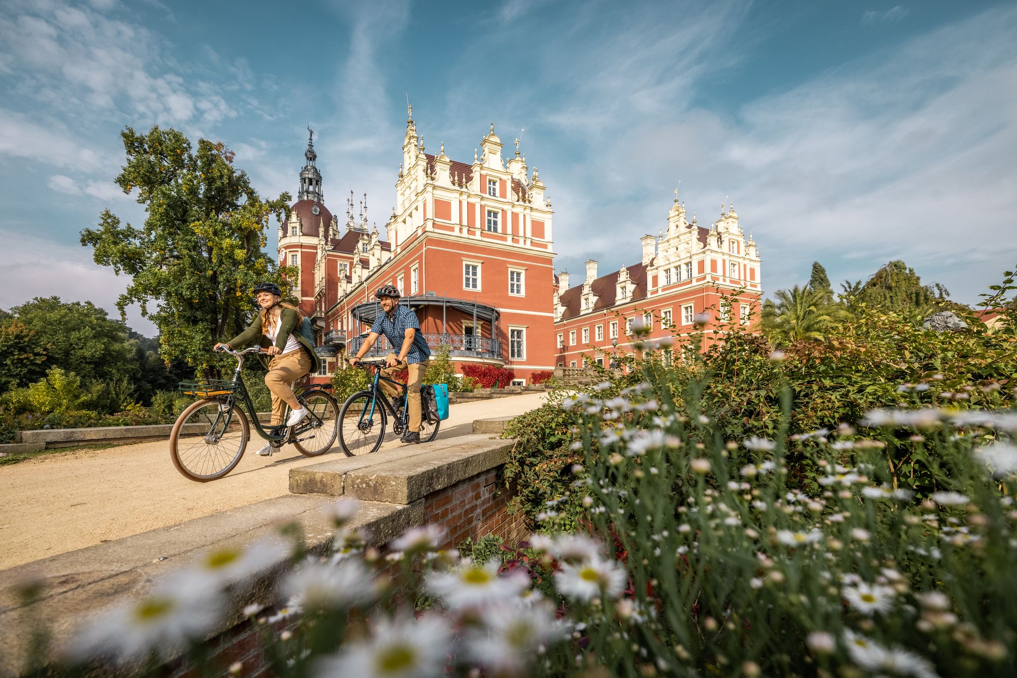
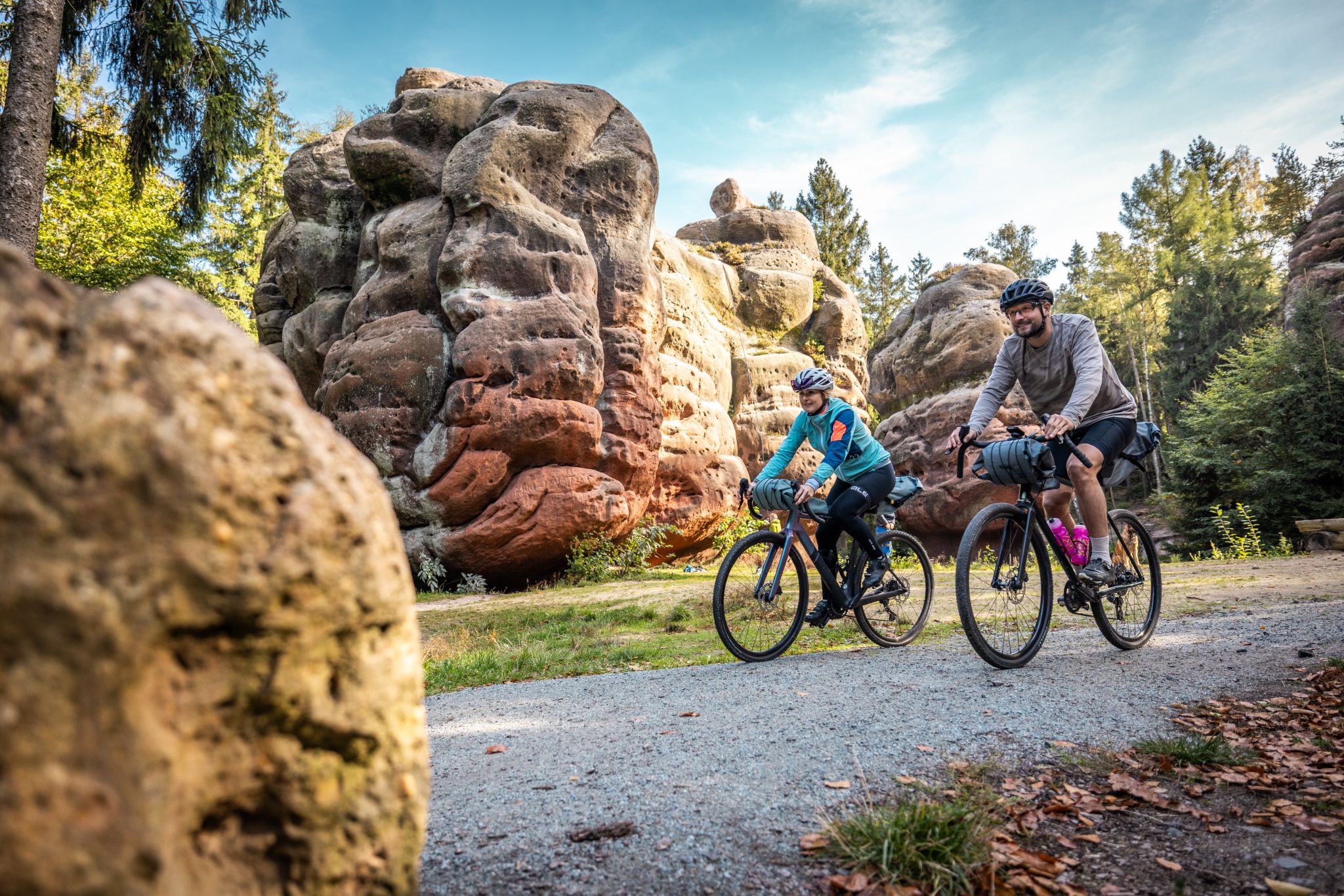
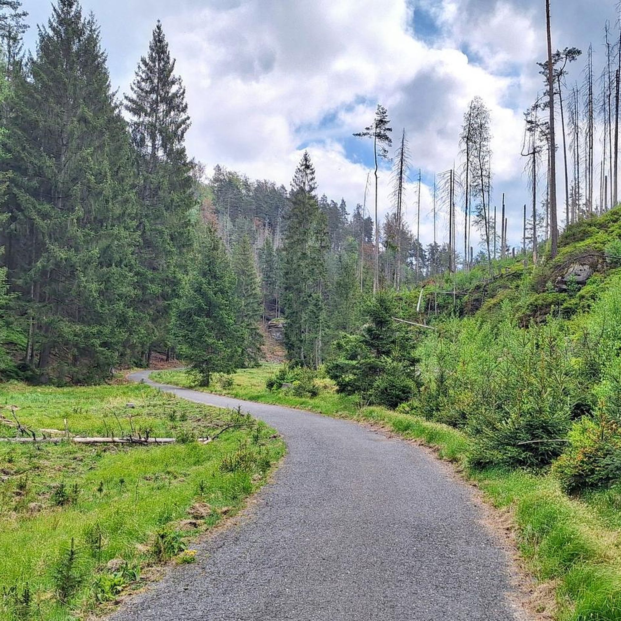



コミュニティからのヒント

ここではドイツとチェコの国境を越えます。いくつかの大きな石と向こう側の標識を除いて、何も気づきません!ここでこんなに簡単にハイキングできるのは素晴らしいことですし、これからも素晴らしいでしょう。私はもっと昔のことを知っています。
0
0

As we now ascend the final stretch to the summit of the Lausche mountain, we'll climb 120 meters in altitude over the next 500 meters. This mountain is the highest in the Lusatian Mountains. The fog is increasingly thickening into a cloud, and our view downwards is becoming increasingly obscured. Looking upwards, we can only vaguely make out the outline of the observation tower. We reach the very top at an altitude of 793 meters. With visibility now limited to just a few meters, we enter the observation tower. We experience the view, completely enveloped by a cloud. This moment is fascinating and exciting; it will remain in our memories. Through a small gap above us, we catch a glimpse of blue sky. Having come from the Czech side, we will descend the mountain again on the German side. Ruins remain as reminders of the mountain hut that once stood here, which burned down in 1946. The path leads back down to Waltersdorf. https://youtube.com/shorts/j3oD8QzMxeA?feature=share https://youtu.be/Ip7zpvYwFBw
0
0
We reach Waltersdorf, where memorial stones and information panels commemorate the expulsion and war; military clashes took place here in September 1938. From here, the path continues uphill, now at an altitude of over 580 meters, and we are enveloped in fog once more. https://youtu.be/Ip7zpvYwFBw https://youtu.be/v1A-Dy4595U
0
0
We arrive at the Black Hole, an impressive rocky passage we traverse. The millstone quarry was operated between 1600 and 1915, and the rock was mined to a depth of 50 meters. The show mine can only be visited with a guided tour. We continue through this landscape, walking between the rocks, until we reach the rock formations of the St. Bernard and the Rhinoceros. https://youtu.be/Ip7zpvYwFBw https://youtu.be/v1A-Dy4595U
0
0

At 792.6 metres, the Lausche is the highest mountain in the Lusatian Mountains (and the highest mountain in Germany east of the Elbe).
8
0


definitely go up when the weather is nice, really great view
0
0

Impressive rock formations, great trails with viewing platforms and a beautiful mountain restaurant.
19
1

komootモバイルアプリでインスピレーションを得よう


さらに探索
他の地域の最高のハイキングを見てみましょう。
