シェーナイヒの絶景の山頂・トップ6
絶景を目指して登るのであれ、達成感のために登るのであれ、山頂を訪れることで、シェーナイヒの美しい自然をもっと満喫することができます。6
もの選択肢の中から、制覇する山頂を決めるのは簡単ではありません。スムーズに次の冒険で目指す山頂を選べるように、シェーナイヒの素晴らしい山頂をこのガイドにまとめました。
最終更新日: 10月 11, 2026
ウールベルク塔
ハイライト • 展望台
翻訳者 Google •
役立つ情報 は

Goldersbachtalweg
ハイライト • トレイル
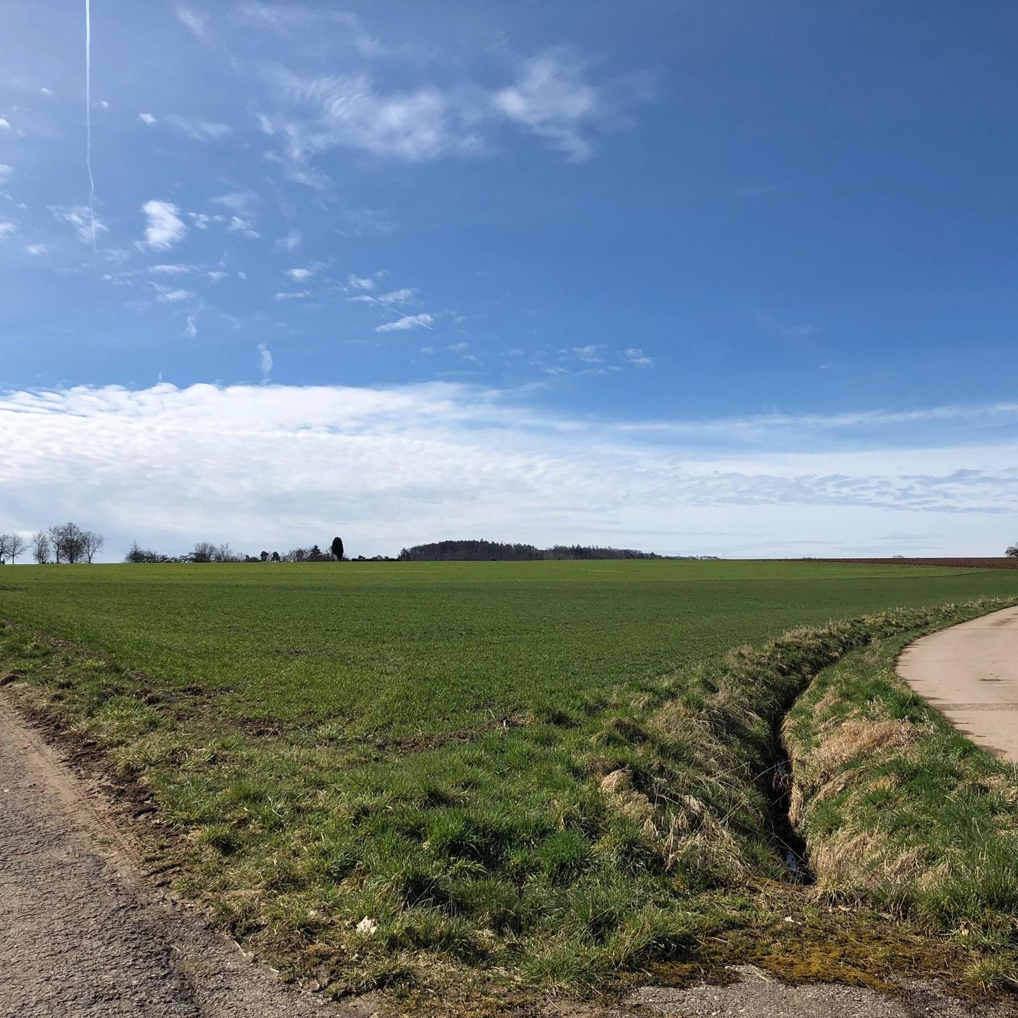
Better to avoid the byways
翻訳者 Google •
役立つ情報 は

今すぐサインアップして、こんな場所を発見しよう
最高のシングルトラック、ピーク、その他のエキサイティングなアウトドアスポットのおすすめを受け取ろう。
ローレル・ヘーエの石畳の道
ハイライト • サイクリングロード
翻訳者 Google •
役立つ情報 は

ベルンハルトシューエ – シュトゥットガルトで最も高い地点
ハイライト • 山頂
翻訳者 Google •
役立つ情報 は
無料アカウントで今日から始めよう
次の冒険が待っています。

コミュニティからのヒント

ミュネック城からは残念ながらほとんど何も残っていません。ワインにミュネックという名前を選んだワイナリーを除いては。 ブドウの木はかつての城の下にあります。
9
0

Here lie the remains of Müneck Castle. The castle mound and the very deep moat surrounding it are still clearly visible. A narrow path leads up the mound to the heart of the ruins. There, you'll find a few remnants of walls and hewn stone blocks. The castle was probably built in the 11th and 12th centuries by the Lords of Müneck as a defensive stronghold and was first mentioned in 1259. From the end of the 14th century onward, the castle was likely no longer used and gradually fell into ruin. It was also used as a quarry and dismantled accordingly.
2
0

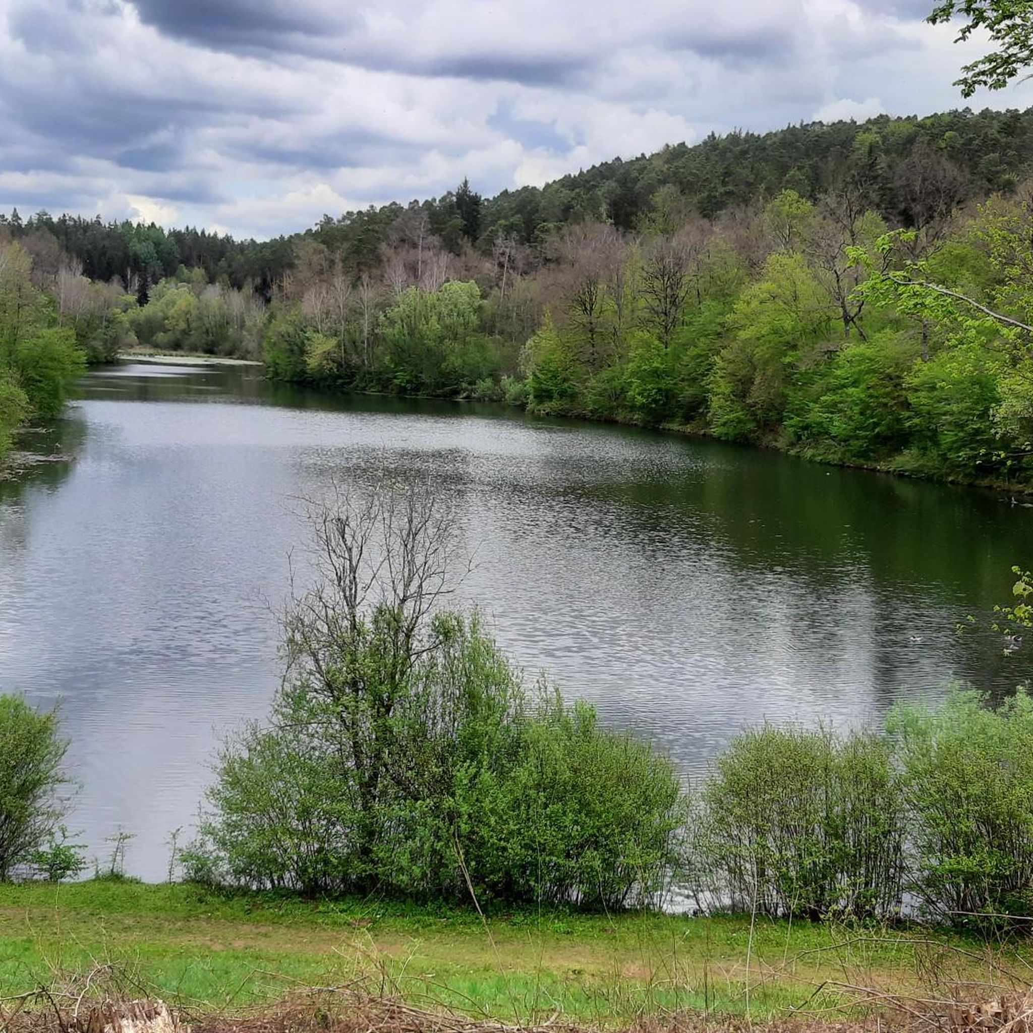
This is the valley of the "Little" Goldersbach. It rises near the "Tübinger Sträßle" and joins the "Great Goldersbach" at the "Devil's Bridge" to form the Goldersbach. Only then is the valley through which it flows called the "Goldersbachtal"
1
0

First and foremost a place of statistical value, as it is home to the highest elevation in Stuttgart at 549m. Unfortunately, apart from a large marker stone that stands on a large meadow, there is no view here. From the benches that stand here, you only see dense bushes, and even in autumn and winter there is no view at all. Instead, there is a monotonous background noise from the nearby motorway junction.
10
0
The large forecourt is equipped with solid table sets and there is also a covered grill.
10
0
It may be the highest point in Stuttgart, but the trees around it have now grown so dense and tall that the view is virtually nil
13
0
This main artery through the Schönbuch is very busy on weekends when the weather is good. Better to avoid the byways
8
0

シェーナイヒでのの人気観光スポット

komootモバイルアプリでインスピレーションを得よう


さらに探索
これらのガイドでさらに素晴らしい頂上を見てみましょうシェーナイヒでの:
