マクシュタットの絶景の山頂・トップ16
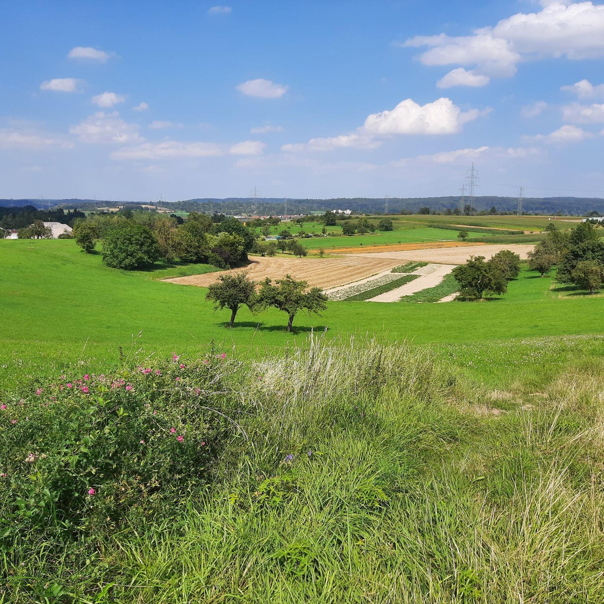
Magstadt周辺の最高の山頂は、際立ったアルパインスタイルのピークというよりも、なだらかな丘と緑豊かな森が特徴です。町自体は海抜427メートルに位置し、ラートベルクの丘が地元の著名なランドマークとなっています。この地域は、ハイキングやサイクリングなどのアウトドアアクティビティに数多くの機会を提供しており、風光明媚な周辺地域を縫うように様々なトレイルが延びています。その魅力は、丘陵地帯と森林地帯にあり、アウトドア愛好家のために自然エリアと手入れの行き届いたトレイルを提供しています。
Magstadt周辺の最高の山頂
- 最も人気のある山頂は、ベービンゲン地区で最大のジュニパーヘザー(ヒース)を特徴とする自然記念物であるフェヌスベルク–ヴォルフゼッカー–ベゼンタール/ハルデ自然保護区です。この保護区は、貝殻石灰岩の土壌に115ヘクタールのヘザーと森林の景観を含んでいます。
- もう一つの必見スポットは、もう一つの自然エリアであり展望台であるフェヌス山です。この115ヘクタールの自然保護区は、周辺地域の美しい景色と、相互に接続されたヘザー、森林、草原の景観が豊かに構造化されたエリアを提供しています。
- 訪問者は、シュトゥットガルト地域にある頂上、ホイコプフも気に入っています。この丸みを帯びた標高は、413メートルの局所的な起伏で周囲の土地の上にそびえ立っています。
- Magstadtはその多様な地形、森林の丘、ジュニパーヘザー、そして高い展望台で知られています。この地域は、自然記念物から人工の頂上まで、見るべき探検すべき様々な山頂と高い場所を提供しています。
- Magstadt周辺の山頂はkomootコミュニティに高く評価されており、訪問者から699件のアップボートと272枚の写真が共有されています。
最終更新日: 8月 31, 2026
ビルケンコップ展望台
ハイライト • 展望台
翻訳者 Google •
役立つ情報 は

ヴィーナスベルク–ヴォルフゼッカー–ベーゼンタール/ハルデ自然保護区
ハイライト • 自然記念物
Strictly speaking, …
翻訳者 Google •
役立つ情報 は

今すぐサインアップして、こんな場所を発見しよう
最高のシングルトラック、ピーク、その他のエキサイティングなアウトドアスポットのおすすめを受け取ろう。
無料新規登録
ローレル・ヘーエの石畳の道
ハイライト • サイクリングロード
翻訳者 Google •
役立つ情報 は

ベルンハルトシューエ – シュトゥットガルトで最も高い地点
ハイライト • 山頂
翻訳者 Google •
役立つ情報 は

ゲルリンガー・コプフ
ハイライト • 山頂
翻訳者 Google •
役立つ情報 は
無料でサインアップして、さらに多くの山を発見しましょう マクシュタットでの。
無料新規登録
すでにアカウントをお持ちですか?
無料アカウントで今日から始めよう
次の冒険が待っています。
ログインまたは登録
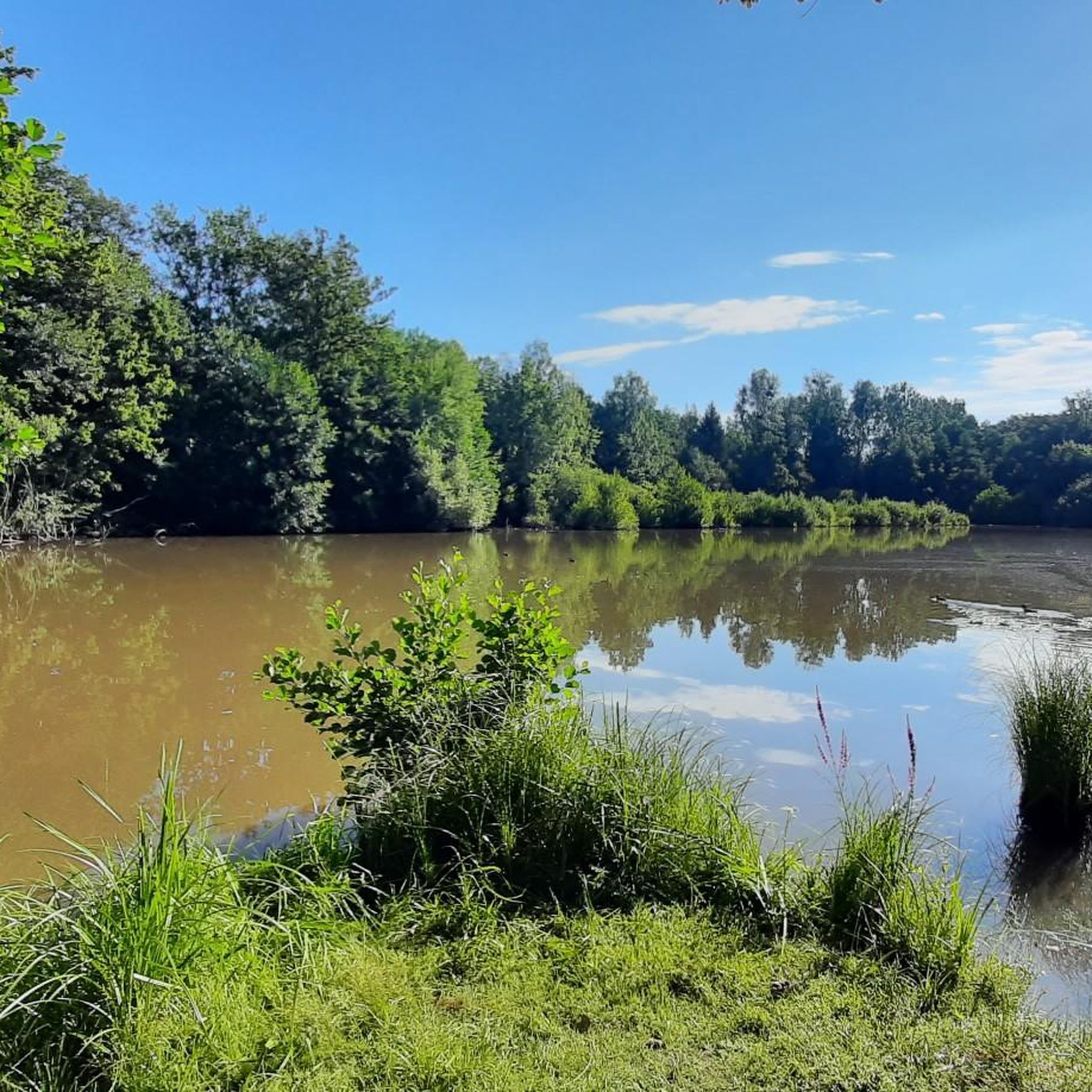
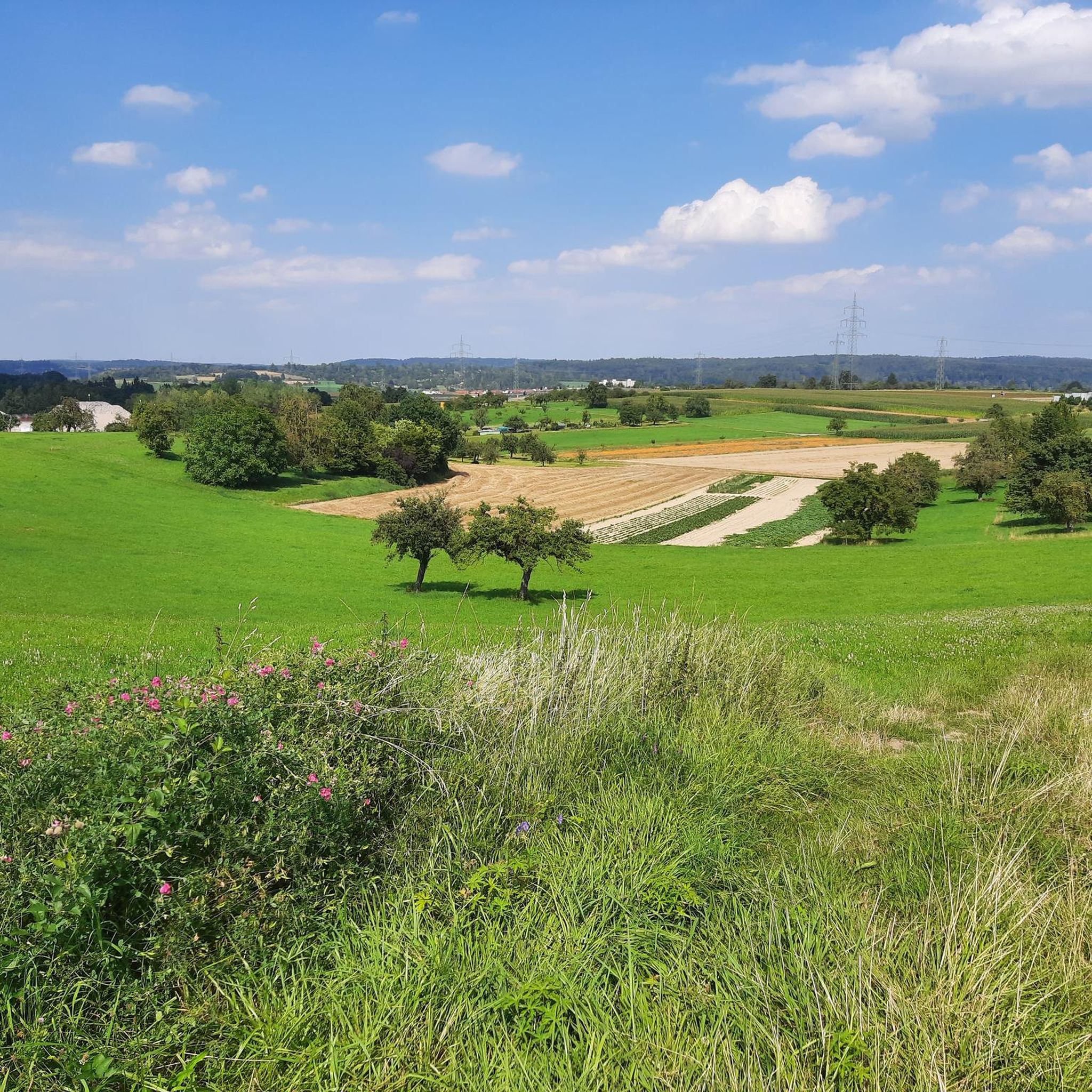
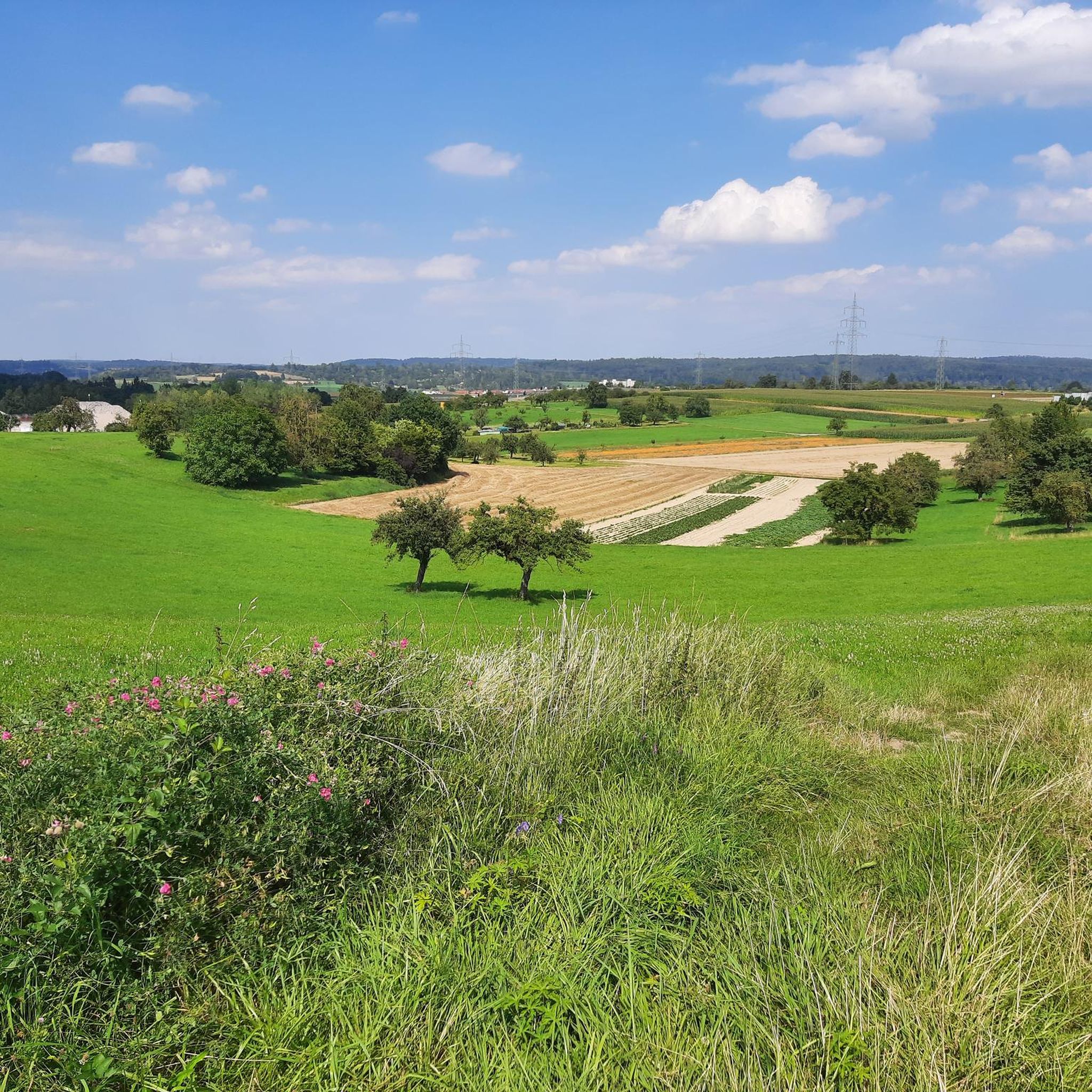
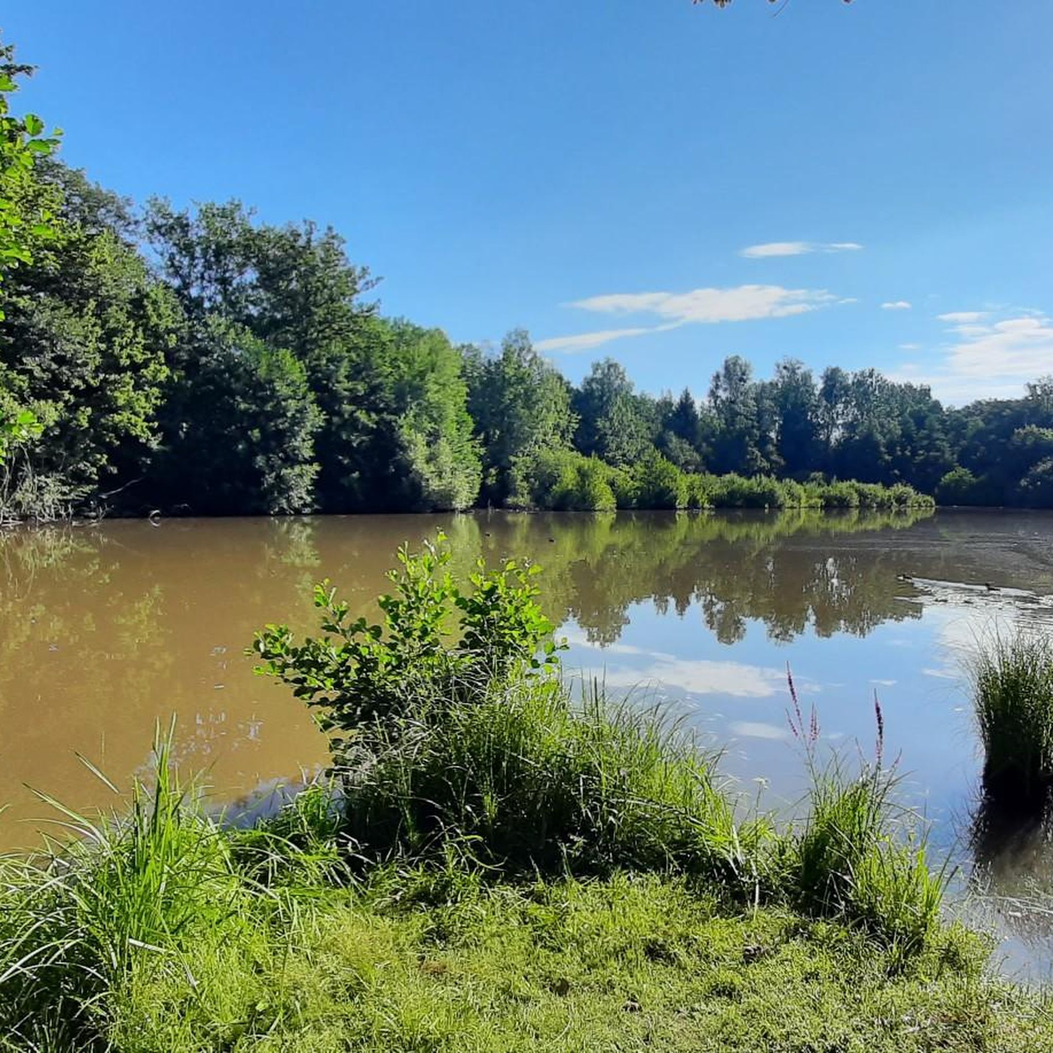
コミュニティからのヒント

The path down to the quarry is very steep and can be challenging, especially in wet weather.
0
0

We're particularly fond of the juniper heath. Even the best sauerkraut doesn't taste good without juniper berries. Here, the berries are plentiful.
13
2

First and foremost a place of statistical value, as it is home to the highest elevation in Stuttgart at 549m. Unfortunately, apart from a large marker stone that stands on a large meadow, there is no view here. From the benches that stand here, you only see dense bushes, and even in autumn and winter there is no view at all. Instead, there is a monotonous background noise from the nearby motorway junction.
9
0

Depending on where you come from, the climb can be easy (from Küchenallee) or quite steep (coming from the quarry).
1
0

Probably the most beautiful, freely accessible viewpoint on Stuttgart and a wonderful rest area. The “shards” of the past make you think, but these days they offer great places to sit and play for the children.
9
2

As a hiker, the steep path is not worth it as there is no view from above and everything is overgrown. You also have to be careful, as mountain bikers love to ride down the steep mountain here.
1
0
It may be the highest point in Stuttgart, but the trees around it have now grown so dense and tall that the view is virtually nil
12
0

If you are looking for a view here, you are in the wrong place.
6
2
マクシュタットでのの人気観光スポット

komootモバイルアプリでインスピレーションを得よう


さらに探索
これらのガイドでさらに素晴らしい頂上を見てみましょうマクシュタットでの:
