グラナダのおすすめウォーキング&ハイキングルート
4.5
(13025)
64,944
ハイカー
2,090
ハイキング
グラナダでのハイキングに出かけて、アンダルシアのこのエリアを探索してみませんか?このガイドでご紹介するのは、komootがグラナダでのハイキング・ウォーキングルートのコレクション全体を評価して選び抜いた、このエリアの人気ハイキングルートです。あなたに合った でのハイキングを見つけるには、他のユーザーがアップロードした役立つ情報や写真を閲覧し、各ルートに関するみんなの意見やコメントを参考にしましょう。
最終更新日: 8月 27, 2026
4.8
(874)
2,822
ハイカー
8.03km
02:24
250m
250m
The Los Cahorros de Monachil loop trail is a gem near Granada that transports you to a world of adventure. The path leads you through a stunning gorge, following the…
4.7
(213)
789
ハイカー
8.65km
02:47
320m
340m
The circular route of Las Cebadillas and Poqueira Hydroelectric Plant from Capileira plunges you into the heart of the Poqueira Gorge, a landscape of historic terraces and Pyrenean oak forests.…

無料新規登録
4.8
(127)
607
ハイカー
9.63km
03:29
560m
560m
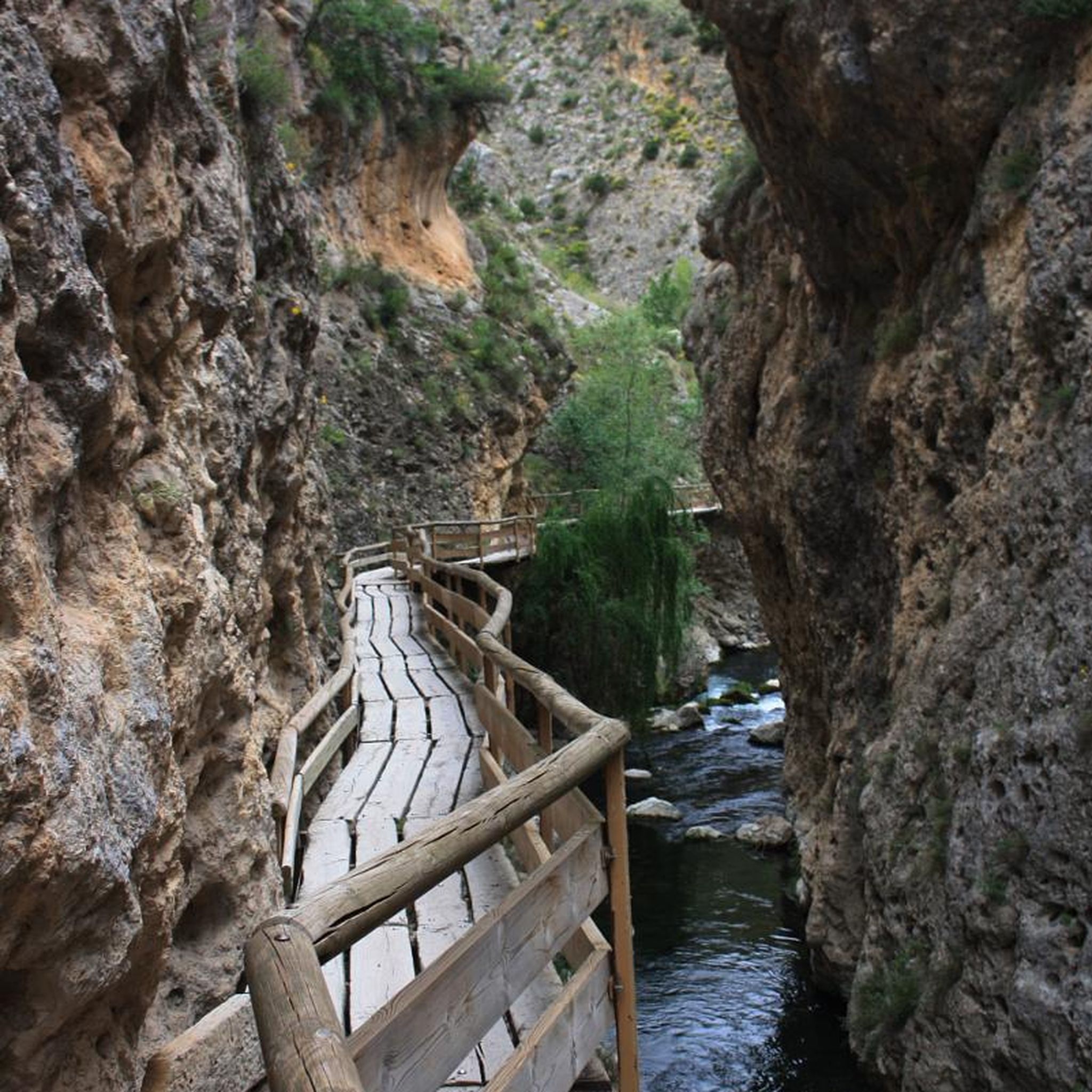
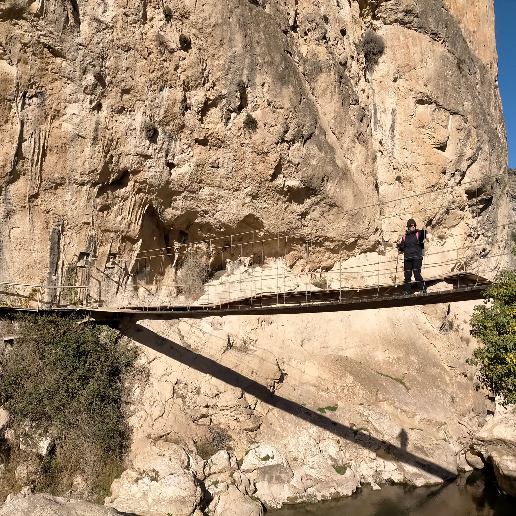
The Ruta del Gollizno plunges you into a vibrant Andalusian landscape, where the Velillos River has carved the dramatic Tajos de la Hoz gorge. You'll walk between imposing rock walls,…
4.8
(120)
543
ハイカー
7.20km
02:27
370m
360m
中程度のハイキング. ある程度のフィットネスレベルが必要です。 進みやすいルートです。あらゆるスキルレベルに適しています。
4.6
(117)
363
ハイカー
10.4km
03:10
310m
310m
The Dehesa del Generalife Periurban Park offers one of the most rewarding circular routes near Granada, combining the serenity of nature with a profound sense of history. Along its 6.4…
4.6
(119)
352
ハイカー
6.90km
02:33
360m
360m
中程度のハイキング. ある程度のフィットネスレベルが必要です。 全般的に進みやすいルートです。安定して歩行できる技術が必要です。
4.7
(68)
277
ハイカー
12.6km
04:58
840m
840m
The Hoya de la Mora - Lagunillos de la Virgen Trail plunges you into the heart of Sierra Nevada's high mountains, offering an unforgettable hiking experience. Along its 12.6 kilometers,…
5.0
(62)
333
ハイカー
13.9km
05:25
910m
910m
The circular route El Cerro de Trevenque y Chorreon del rio Dilar – circular desde Collado Sevilla immerses you in the diversity of Sierra Nevada, from rocky peaks to river…
4.8
(27)
80
ハイカー
7.80km
02:30
320m
310m
中程度のハイキング. ある程度のフィットネスレベルが必要です。 進みやすいルートです。あらゆるスキルレベルに適しています。
4.9
(44)
299
ハイカー
22.2km
08:40
810m
810m
The circular route Sierra Nevada National Park – circular to Vereda de la Estrella via Cuesta de los Presidiarios immerses you in a spectacular mountain landscape, combining the beauty of…
さらに多くのルートや他のユーザーのおすすめ情報を確認できます。
無料新規登録
すでにアカウントをお持ちですか?
おすすめのツアーは他のkomootユーザーが実際に経験した何千ものアクティビティに基づいています。
無料アカウントで今日から始めよう
次の冒険が待っています。
ログインまたは登録
グラナダでのの他の冒険


コミュニティからのヒント

美しい滝と浅いプールがあり、涼むことができます。川の水は澄んでいて爽やかです。滝の後ろには小さな渓谷がありますが、それほど印象的ではありませんが、お子様は冒険心をくすぐられるかもしれません。
0
0

Komootはルートをマウンテンバイク用としてマークしていますが、最初の部分はほとんど不可能で、最後の部分の直前も同様です。幅わずか20cmで片側に切れ込みのある小道で自転車を何キロも担ぎたくないなら、このルートは避けた方がいいでしょう。途中でかなり良い状態のトラックと交差しますが、そこまでたどり着くには、自転車を担いで、50メートル以上の区間を乗るのに1時間以上かかっていました。
0
0


What to see in Moclín Moclín Castle: A 14th-century Nasrid fortress with walls and cisterns. Impressive views of the Sierra Nevada mountains and the Granada plain. Gollizno Route (PR-A 84): A circular trail (8 km) with a suspension bridge, viewpoints, and the Velillos River canyon. Includes the La Luz Dam and the Malalmuerzo Cave. Historic Hermitages: San Antón (at the entrance to the village). Virgen de las Angustias (Our Lady of Sorrows), surrounded by nature.
1
0
Moclín is a charming destination, ideal for those who enjoy history, nature, and panoramic views. It's a typical Andalusian white village, peaceful and with cobbled streets that preserve its traditional essence. It stands out for its historical heritage (Nasrid castle, hermitages) and its natural surroundings, perfect for hiking.
1
0
It is located about 1.3 km from the town center, in a natural setting near the Fuente de la Buena Ventura spring. A small, whitewashed rural hermitage, simple in its architecture, both devotional and functional. Inside are two images: the Virgin of Sorrows and another known as Fraileopoldo. It forms part of the famous Gollizno Route (PR-A84), and is one of its recognized points of interest.
1
0

A very beautiful, expansive hiking and biking area. Also suitable for multi-day hikes with overnight stays (tent, bikepacking, etc.). Awesome views in every direction. Plenty of free parking available. A must-see for anyone in the area.
1
1

The sinter crusts of the lime-rich water make the tree trunks trapped in the waterfall appear petrified. Hence the common name "Cascada de los Arboles Petrificados" (Petrified Trees Cascade). However, these are not petrified trees, but mineral deposits in flowing water that cover both rocks and plants (sinter). Source: Wikiloc
0
0

komootモバイルアプリでインスピレーションを得よう


探していたものは見つかりませんでしたか?
グラナダの下にある他のハイキングをチェックして、目的地で完璧なルートを見つけましょう。
