キュケルス周辺のアトラクション&必見スポット - トップ20
キュケルスには必見のスポットがたくさんあります。ハイキング愛好家やサイクリング愛好家の方は、ぜひキュケルスを探索してこのエリアにある20
の隠れたスポットを訪れてみてください。このエリアの必見スポットを確認し、次の冒険に出かける計画を立てましょう。
最終更新日: 9月 12, 2026
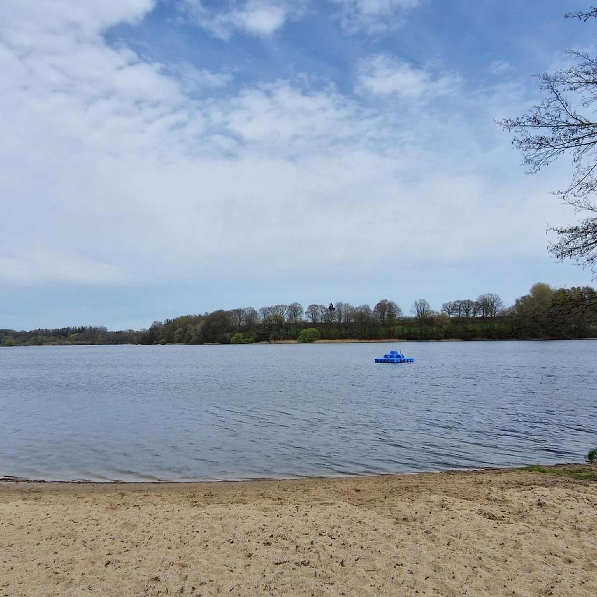
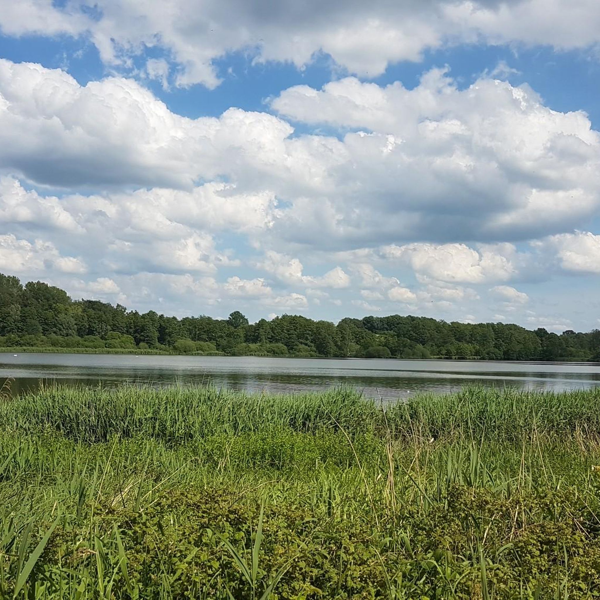
グローサー・ゼーゲベルガー湖の湖畔プロムナード
ハイライト • 湖
翻訳者 Google •
役立つ情報 は

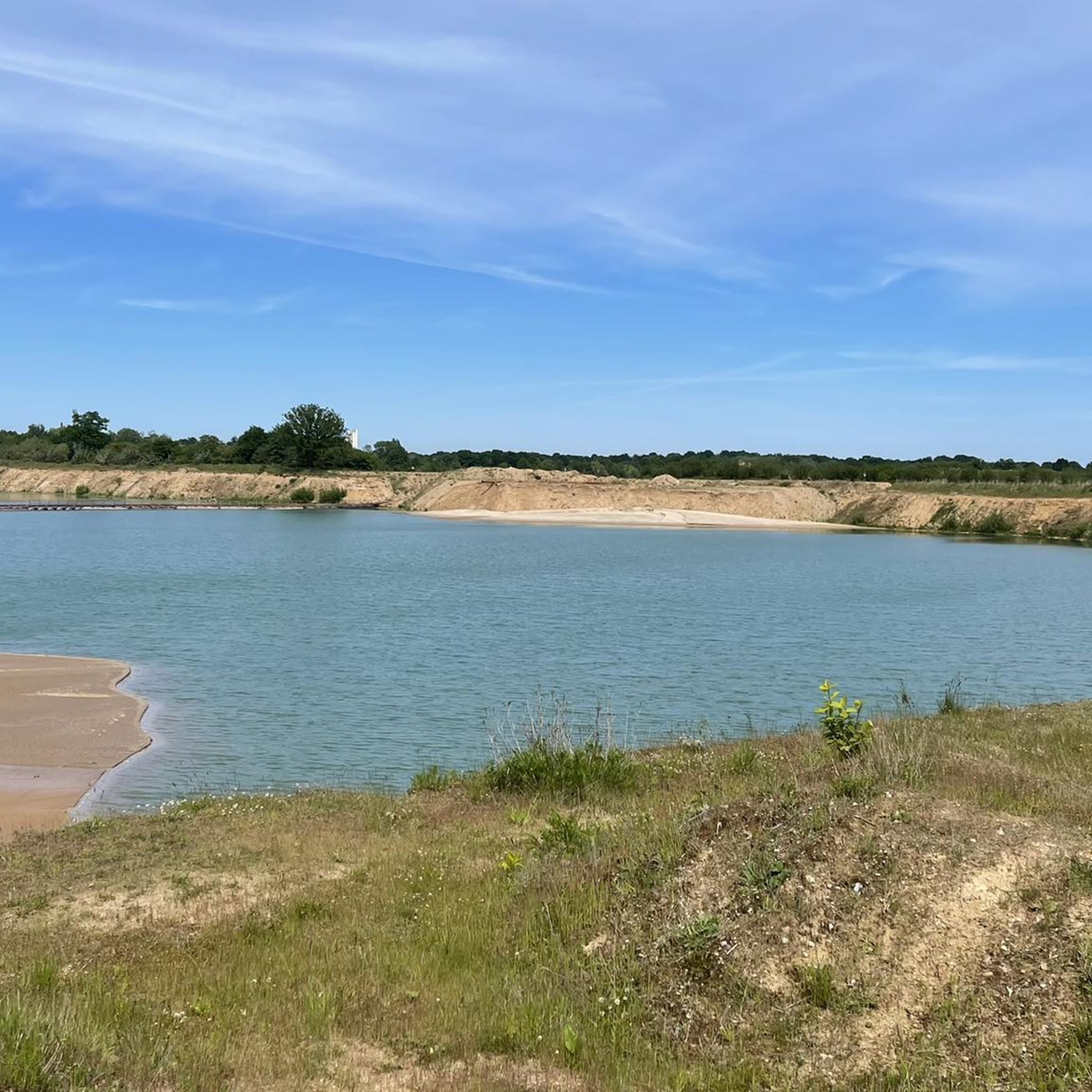
グローサー・ゼーゲベルガー湖
ハイライト • 湖
After a salt dome with gypsum or anhydrite rock rose to the surface due …
翻訳者 Google •
役立つ情報 は

今すぐサインアップして、こんな場所を発見しよう
最高のシングルトラック、ピーク、その他のエキサイティングなアウトドアスポットのおすすめを受け取ろう。
クリングベルクのネヴァースターヴェン通信塔
ハイライト • 登山
翻訳者 Google •
役立つ情報 は

エルムスホルン〜バルムシュテット〜オルデスロー鉄道サイクリングロード(EBOE)
ハイライト (セグメント) • サイクリングロード
翻訳者 Google •
役立つ情報 は

ブレンナー・ムーア自然保護区
ハイライト • 自然
翻訳者 Google •
役立つ情報 は

無料でサインアップして、さらに多くの観光スポットを発見しましょう キュケルスでの。
すでにアカウントをお持ちですか?
無料アカウントで今日から始めよう
次の冒険が待っています。
コミュニティからのヒント

Overall, it's a bit monotonous and boring to ride. However, it's perfectly fine as a change of pace between trails or gravel roads.
0
0

Great gravel highway, you can drive quickly and there is also beautiful nature all around. Some great views over fields and meadows, just lovely to drive and beautiful to look at.
2
1

You have an absolutely fantastic view of Lake Segeberg from the highest point in the city - namely from the Kalkberg 😊... In addition there is the 360°C all-round view of Bad Segeberg for free 😃...
4
1

The Brenner Moor is the largest inland salt marsh in Schleswig-Holstein. It is located in the district of Stormarn in the town of Bad Oldesloe in the Trave lowlands and has been declared a nature reserve. What is special about the Brenner Moor are the brine springs that rise from a depth of approx. 500 meters and have their origin in a salt band that presumably stretches from Segeberg via Tralau and Bad Oldesloe to Lübeck. The plant communities and the animal world of the Brenner Moor are shaped in a special way by the unique occurrence of salt springs inland. The salty environment attracts plants that are otherwise only found near the coast, e.g. B. rush (Juncus gerardii) and beach trident (Triglochin maritima). In some places the water has a salinity that corresponds to that of the North Sea. In less saline parts of the nature reserve, reed beds, among other things, grow. https://metropolregion.hamburg.de/kulturlandschaften/4471072/brenner-moor/
14
3
今日のバート・オルデスローエ - ヘンシュテット=ウルツブルク自転車道は、かつてのエルムスホルン=バルムシュテット=オルデスローエ鉄道(EBOE)の廃線跡に沿って走っています。バート・オルデスローエとバルムシュテット間の区間は、1896年に建設されたエルムスホルン=バルムシュテット線の延長として1907年に開通しました。ここでは今日、大きな勾配や傾斜なしに、ほぼ常にまっすぐ、リラックスしてサイクリングを楽しむことができます。 約53kmの標準軌の路線には、66年以上にわたり旅客列車と貨物列車の両方が運行されていました。1945年まで、この路線はエルベマルシュとメクレンブルクを結ぶ重要な地域間連絡線でもありました。両世界大戦中には、避難民や部隊の輸送もここで行われました。 1930年代にはすでに、当時の最新鋭であったディーゼル動車に旅客輸送が移行していました。しかし、戦後はこの路線は地域的な重要性しか持たなくなり、主に通勤・通学輸送や農産物の輸送に利用されていました。 1973年、経済的な理由と住民の抗議にもかかわらず、バルムシュテットまでの区間の列車運行が停止されました。旅客輸送はバスに置き換えられました。その後、線路は撤去され、自転車道が整備されました。現在、線路沿いの古い鉄道施設の一部は住宅として利用されています。 https://www.kreis-stormarn.de/freizeit-und-tourismus/bahnradwege/route-a-die-ehemalige-bahntrasse-der-eboe.html
5
4

always goes straight. You can hardly get lost. No cars. Most beautiful in the apple tree blossom season!
2
0

Great moor and beautiful boardwalk! Tip: 🅿️ at the Kleingartenverein
6
1

The diverse landscape north-west of the town of Bad Oldesloe invites you to take a contemplative and, in view of the large number of natural history features, also eventful and informative tours. Several large-scale salt springs rising from great depths of salt domes have created very rare habitats for salt plants (halophytes) and a particularly adapted animal world here inland. The 24-hectare Brenner Moor nature reserve includes the largest inland salt pan in Schleswig-Holstein. The area is accessible by boardwalks. Ten experience stations provide in-depth information on the leaflets provided and encourage further research. The waterlogging of the Wolkenweher Niederung fulfills the goals of the European Water Framework Directive and also the requirements of the Habitats Directive. Source: environmental data.landsh.de
8
0
キュケルスでのの人気観光スポット

komootモバイルアプリでインスピレーションを得よう


さらに探索
まだ探しているハイライトが見つかりませんか?他の地域のトップアトラクションのガイドを見てみましょう:
