ランゲンヴァイスバッハの絶景の山頂・トップ15
絶景を目指して登るのであれ、達成感のために登るのであれ、山頂を訪れることで、ランゲンヴァイスバッハの美しい自然をもっと満喫することができます。15
もの選択肢の中から、制覇する山頂を決めるのは簡単ではありません。スムーズに次の冒険で目指す山頂を選べるように、ランゲンヴァイスバッハの素晴らしい山頂をこのガイドにまとめました。
最終更新日: 10月 4, 2026
ヒルシェンシュタイン山頂と三角点
ハイライト • 山頂
翻訳者 Google •
役立つ情報 は

ケイルベルクのビスマルク塔
ハイライト • 記念碑
翻訳者 Google •
役立つ情報 は

今すぐサインアップして、こんな場所を発見しよう
最高のシングルトラック、ピーク、その他のエキサイティングなアウトドアスポットのおすすめを受け取ろう。
Katzenstein三角測量点
ハイライト • 記念碑
翻訳者 Google •
役立つ情報 は

ラインスドルフの山頂十字架
ハイライト • 山頂
翻訳者 Google •
役立つ情報 は

アントン・ギュンター・ベルクハウス
ハイライト • 山小屋
翻訳者 Google •
役立つ情報 は

無料でサインアップして、さらに多くの山を発見しましょう ランゲンヴァイスバッハでの。
すでにアカウントをお持ちですか?
無料アカウントで今日から始めよう
次の冒険が待っています。
コミュニティからのヒント

Opening Hours according to Google Monday 4:30 PM–9:00 PM Tuesday Closed Wednesday Closed Thursday 11:00 AM–9:00 PM Friday 11:00 AM–10:00 PM Saturday 11:00 AM–10:00 PM Sunday 3:00 PM–9:00 PM
0
0

"The Royal Saxon Triangulation (here with its historical proper name) is a national survey carried out between 1862 and 1890 on the territory of the Kingdom of Saxony, with the simultaneous creation of a trigonometric network. The goal was to record the national territory with scientific and geodetic precision and, by establishing permanently marked reference points, to create the basis for the production of accurate maps." - https://de.wikipedia.org/wiki/K%C3%B6niglich-S%C3%A4chsische_Triangulirung The triangulation network created by August Nagel was considered one of the most accurate surveying networks in the world at the time. The Nagel columns are preserved today as technical monuments. From the Katzenstein station, the stations of Pfaffenberg (near Hohenstein-Ernstthal), Steinkamm, Schatzenstein, Hirschenstein, and Reinsdorf were surveyed. All of these mountains can still be seen today, along with many more. On a clear day, you can enjoy a fabulous panoramic view of the Ore Mountains, Vogtland, Fichtel Mountains, and the Ore Mountains foothills around Zwickau and Chemnitz.
2
0

Newly renovated and very inviting on the Borberg.
3
0


On the summit there is a trigonometric ground point, a Deutsche Telekom mobile phone mast with six antennas 500 meters away, and a survey point of the Royal Saxon Triangulation ("Nagel's Column") from 1864, the year of which - 1804 - is incorrectly painted. The Royal Saxon Triangulation (here with its historical proper name) is a land survey carried out in the territory of the Kingdom of Saxony between 1862 and 1890, with the simultaneous creation of a trigonometric network. The aim was to record the territory of the country with scientific and geodetic precision and to create the basis for the production of accurate maps by establishing permanently marked fixed points. The Großenhain base line was chosen as the scale basis.
2
0

Very good food, cozy and very friendly. I can only recommend it. 👌
0
0

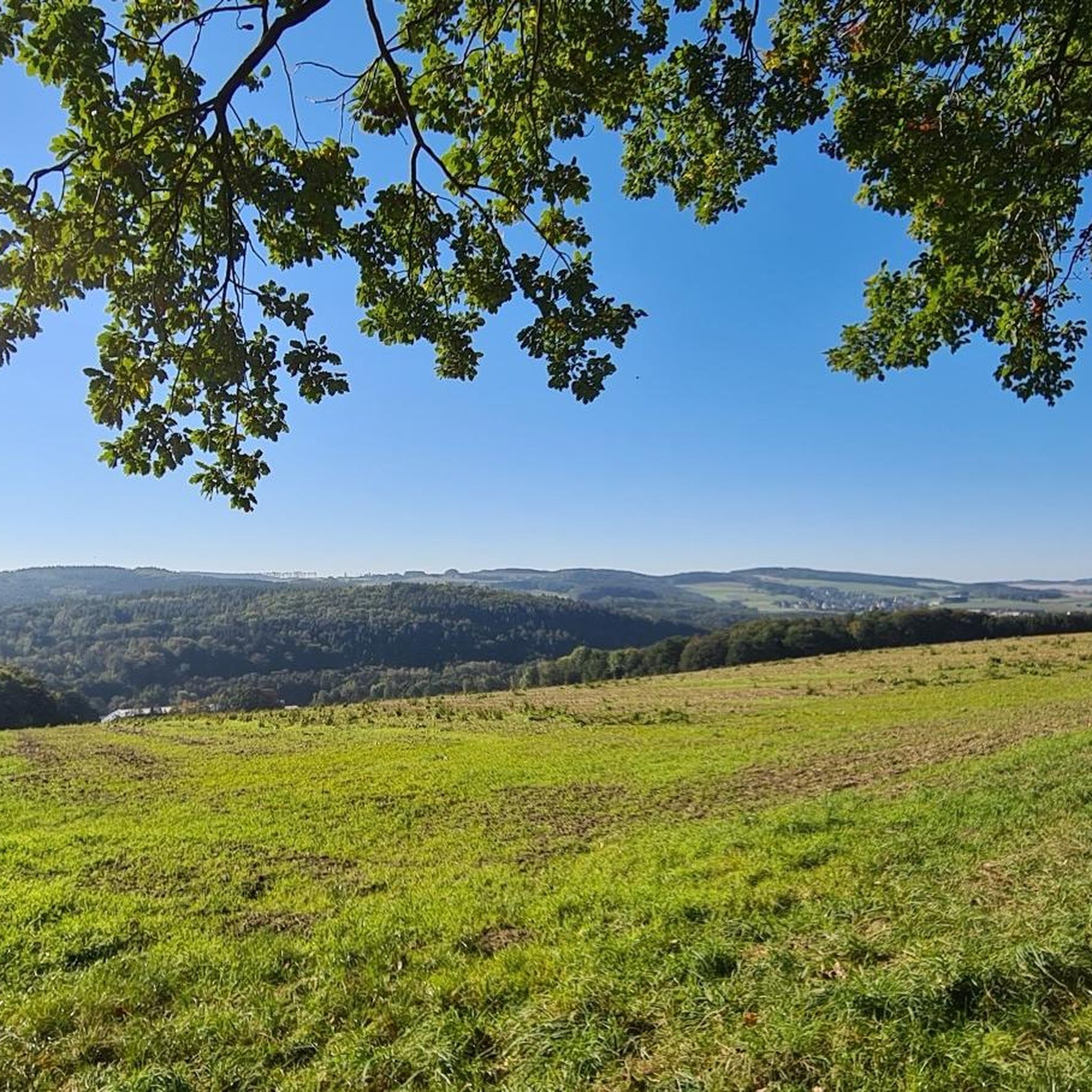
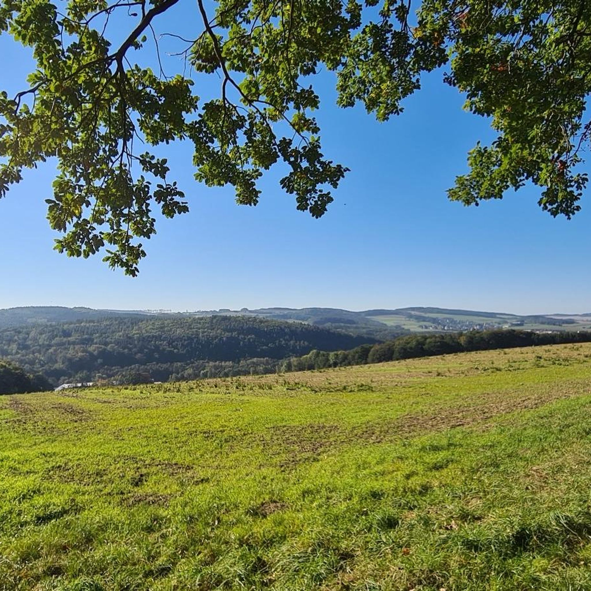
Wonderful panoramic view of the Ore Mountains, towards Chemnitz and, if visibility is good, Leipzig
2
0
ランゲンヴァイスバッハでのの人気観光スポット

komootモバイルアプリでインスピレーションを得よう


さらに探索
これらのガイドでさらに素晴らしい頂上を見てみましょうランゲンヴァイスバッハでの:
