ギュクリンゲン周辺のアトラクション&必見スポット - トップ20
ギュクリンゲンには必見のスポットがたくさんあります。ハイキング愛好家やサイクリング愛好家の方は、ぜひギュクリンゲンを探索してこのエリアにある20
の隠れたスポットを訪れてみてください。このエリアの必見スポットを確認し、次の冒険に出かける計画を立てましょう。
最終更新日: 10月 9, 2026
旧ネッカー橋
ハイライト • 展望台
翻訳者 Google •
役立つ情報 は

ムンデルスハイムとラウフェン間のネッカータールサイクリングロード
ハイライト (セグメント) • サイクリングロード
翻訳者 Google •
役立つ情報 は

今すぐサインアップして、こんな場所を発見しよう
最高のシングルトラック、ピーク、その他のエキサイティングなアウトドアスポットのおすすめを受け取ろう。
キルヒハイム〜ラウフェン間のネッカーループ
ハイライト • サイクリングロード
翻訳者 Google •
役立つ情報 は

エーメトスクリンゲ湖
ハイライト • 湖
翻訳者 Google •
役立つ情報 は

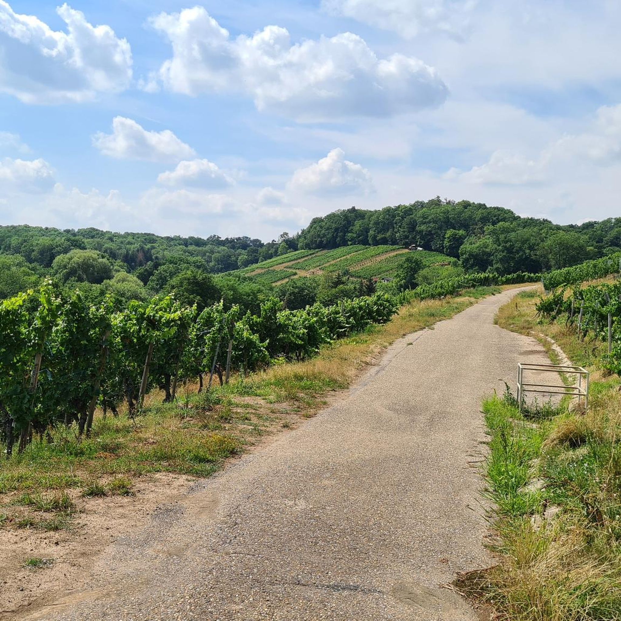
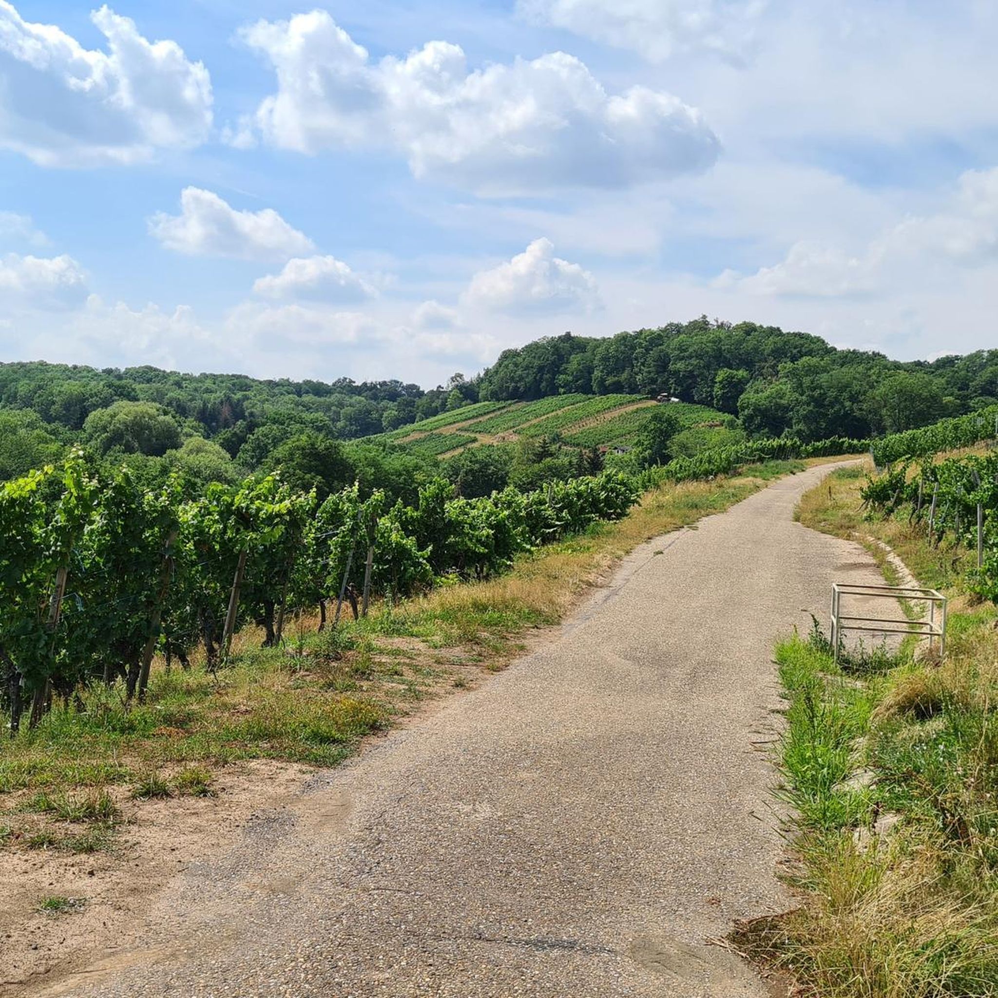
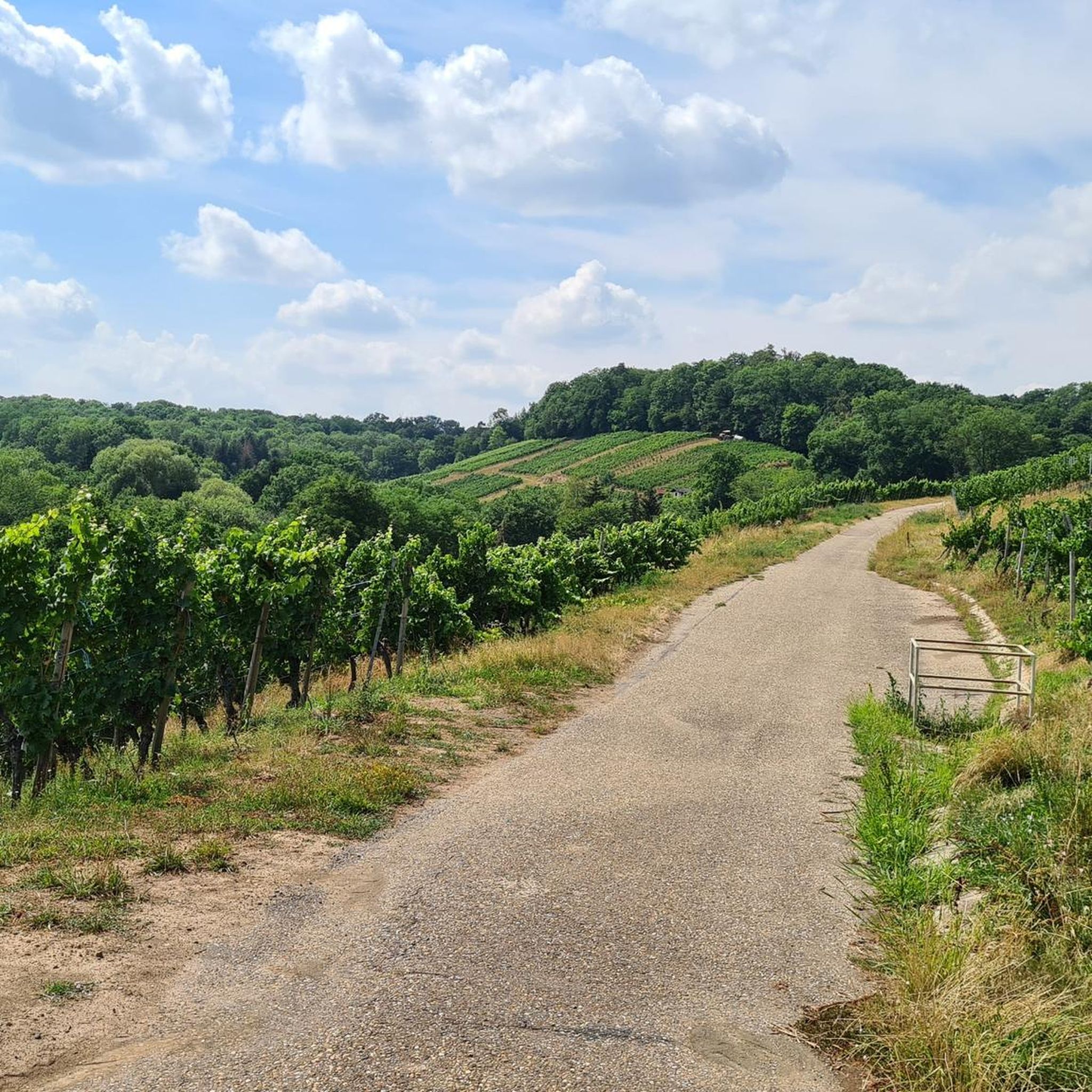
タールハイム近く、ネッカー川沿いの急斜面のブドウ畑
ハイライト (セグメント) • サイクリングロード
翻訳者 Google •
役立つ情報 は
無料でサインアップして、さらに多くの観光スポットを発見しましょう ギュクリンゲンでの。
すでにアカウントをお持ちですか?


コミュニティからのヒント

The Neckar offers some of these wonderful Neckar loops, which make the Neckartal cycle path opposite the Rhine cycle path very varied and change the direction of travel so that you are illuminated from a different side or there is a change in shadow
5
0

HISTORICAL HERITAGE The first finds indicate that the Lauffen river area was already inhabited in 500 BC. The Romans arrived around 85 AD. A Roman estate (“Villa rustica”) was excavated high above the Neckar in 1978. The well-preserved foundations and remains of heating and bathing facilities provide insights into the Romans’ way of life on an agricultural property almost 2000 years ago. https://www.lauffen.de/website/de/freizeit/geschichte
7
0

Great developed bike path between the banks of the Neckar and vineyards
3
0

Wonderful to drive and great view of the steep slopes
3
0

Great bike path with fantastic views of the steep vineyards.
3
0

The lake is primarily used for flood protection on the Zaber. In summer, swimmers and other people looking for relaxation visit the lake with its bathing beach; Anglers can catch pike, zander and perch there, as well as rainbow trout, carp, tench, bream, catfish and eel. Sailing and motor boating, on the other hand, are prohibited on the lake. Walking and hiking trails of different lengths touch the Ehmetsklinge, including a 6.5 km long circular lake trail, which also connects it with the Katzenbachsee, which is almost 2 km to the east. A forest and tree as well as a wine educational trail also run near the lake. There are some inns by the lake. In May 2009, the new nature park center of the Stromberg-Heuchelberg nature park opened its doors on the lake shore. The lake was created between 1968 and 1970, inaugurated in June 1970 with a lake festival, and expanded in 2000 and 2001. EnBW, the operating company of the Neckarwestheim nuclear power plant, initiated the enlargement of the lake; Low water in the Neckar during the summer and legal requirements had previously led to a lack of cooling water in the reactor at this time of year, which now hardly ever occurs. In the north-eastern area near the dam it has a fairly constant width of around 250m, further up it branches into two peaks that reach into the valleys of Zaber in the south-west and Ehmehtsklingenbach in the west and reaches its greatest length of around 600m at the tributary of the latter. With normal traffic jams, the surface of the lake is 232m above sea level. NN. The expansion increased the crest height of the dam structure on the air side from 12.50m to 15.05m, the crest length of the dam from 320.50m to 335.50m, the water depth from 4.80m to up to 8m with permanent waterlogging, the water area from 7, 3ha to 13.8ha, the storage volume from 190,000m³ to 590,000m³. Annually from August 15th to December 31st, the Neckar can now be supplied with an additional volume of water of up to 400,000 cubic meters via the Zaber to compensate for the evaporation caused by the operation of some thermal power plants on its banks, but the flood protection in Zabergäu and the Increasing the water level in case of low water in the Zaber. During the expansion, around 10 hectares of arable land were converted into meadows, trees and shrubs were planted and the front dam was designated as a biotope. The costs for this and for a number of other measures were borne by the operators of a number of thermal power plants on the Neckar under the management of the Neckarwestheim nuclear power plant.
10
0

Beautifully developed bike path in summer, always in the shade and right at "eye level" with the Neckar.
5
0

Very well developed bike path that leads directly between the Neckar and vineyards.
4
0

komootモバイルアプリでインスピレーションを得よう


さらに探索
まだ探しているハイライトが見つかりませんか?他の地域のトップアトラクションのガイドを見てみましょう:
