フライマースハイム(プファルツ)のおすすめライド
4.5
(614)
8,788
ライダー
219
ライド
フライマースハイム(プファルツ)周辺のロードバイクルートをお探しですか?ここでは、komootが提供するフライマースハイム(プファルツ)でのロードバイクライドのコレクション全体を評価して選び抜いた人気ルートをご紹介します。各ライドの詳細をぜひご覧ください。
最終更新日: 9月 4, 2026
4.7
(3)
80
ライダー
42.5km
02:02
570m
570m
中程度のロードライド. ある程度のフィットネスレベルが必要です。 全般的に舗装状態が良好で走行しやすい道です。
3.5
(2)
61
ライダー
28.1km
01:29
520m
520m
中程度のロードライド. ある程度のフィットネスレベルが必要です。 全般的に舗装状態が良好で走行しやすい道です。

2.6
(5)
28
ライダー
44.4km
01:44
150m
150m
初級者向けロードバイクライド. あらゆるフィットネスレベルに適しています。 全般的に舗装状態が良好で走行しやすい道です。
3.7
(3)
29
ライダー
21.5km
00:50
50m
50m
初級者向けロードバイクライド. あらゆるフィットネスレベルに適しています。 全般的に舗装状態が良好で走行しやすい道です。
5.0
(3)
36
ライダー
30.8km
01:12
60m
60m
初級者向けロードバイクライド. あらゆるフィットネスレベルに適しています。 全般的に舗装状態が良好で走行しやすい道です。
さらに多くのルートや他のユーザーのおすすめ情報を確認できます。
すでにアカウントをお持ちですか?
おすすめのツアーは他のkomootユーザーが実際に経験した何千ものアクティビティに基づいています。
無料アカウントで今日から始めよう
次の冒険が待っています。
コミュニティからのヒント

町の中心にある美しい建物群。
6
0

We were lucky enough to spend time there today.
0
0

This artwork, entitled "To See Beyond," is part of the "St. Martin Art Trail" and dates from 2023. "London-based artist Tim Norris draws inspiration from the surrounding landscape and, wherever possible, uses local natural materials in combination with constructed elements. As a harmonious symbiosis of landscape and art, the work invites visitors to enjoy the expansive view across the Rhine plain. It consists of an inner layer of stretched canvas, which offers protection and shade to the seated figure, while the outer layer of local vine tendrils alludes to the surrounding wine region. 'To See Beyond' translates to 'to see beyond.' We can interpret this as the view across the Rhine plain or, philosophically, as the perspective from the present into the future." Source (quoted verbatim): Information panel on site Further information about the "St. Martin Art Trail": https://www.tourenplaner-rheinland-pfalz.de/de/tour/wanderung/kunstpfad-st.-martin/803109496/
2
0

Beautiful climb and little traffic - I'll be back :)
1
1

Usually dirty or wet from irrigation or muddy, not suitable for expensive luxury cars.
0
0

At the parking lot in front of the Kalmithaus, the slippery road ends: the asphalt simply ends, as if someone had said, "Okay, adventure begins here!" From there, things get really tricky for road bikes – rough gravel, small stones, and the constant fear of getting a flat tire. You briefly consider whether you love your bike... or just ride over it. But honestly: The last stretch is still worth it. It's short, nasty – and at the top, the reward is complete. A view to fall in love with, a clear view all the way to the Odenwald (if the mist is kind), a cool drink from the hut, and that muscle cramp you trust. Perfect. If you've made it this far, you'll still make it all the way to the top. And afterward: roll down the gravel, let off some air (from your lungs, not the tires), and proudly say, "Kalmit? Sure – I made it."
1
0

The church tower of St. Nicholas Church is 70 meters high and visible from afar. The church dominates the townscape of Bellheim. The foundation stone was laid on September 3, 1868.
2
0

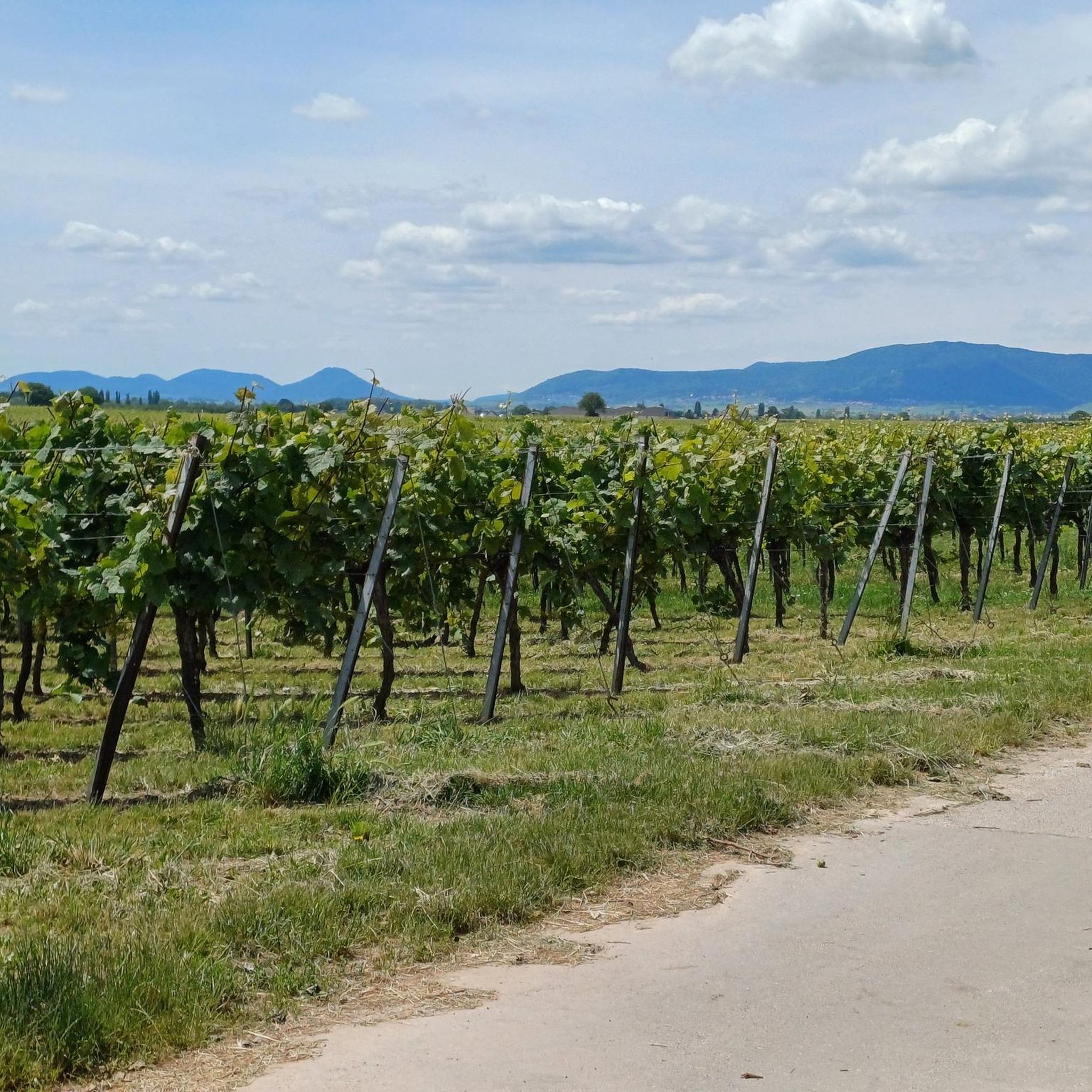
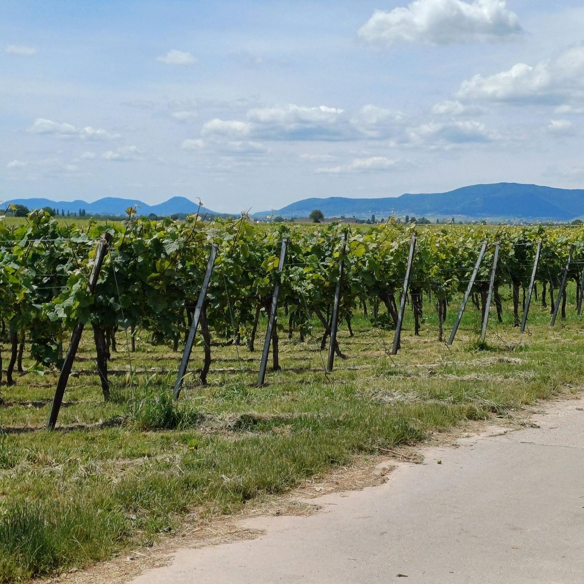
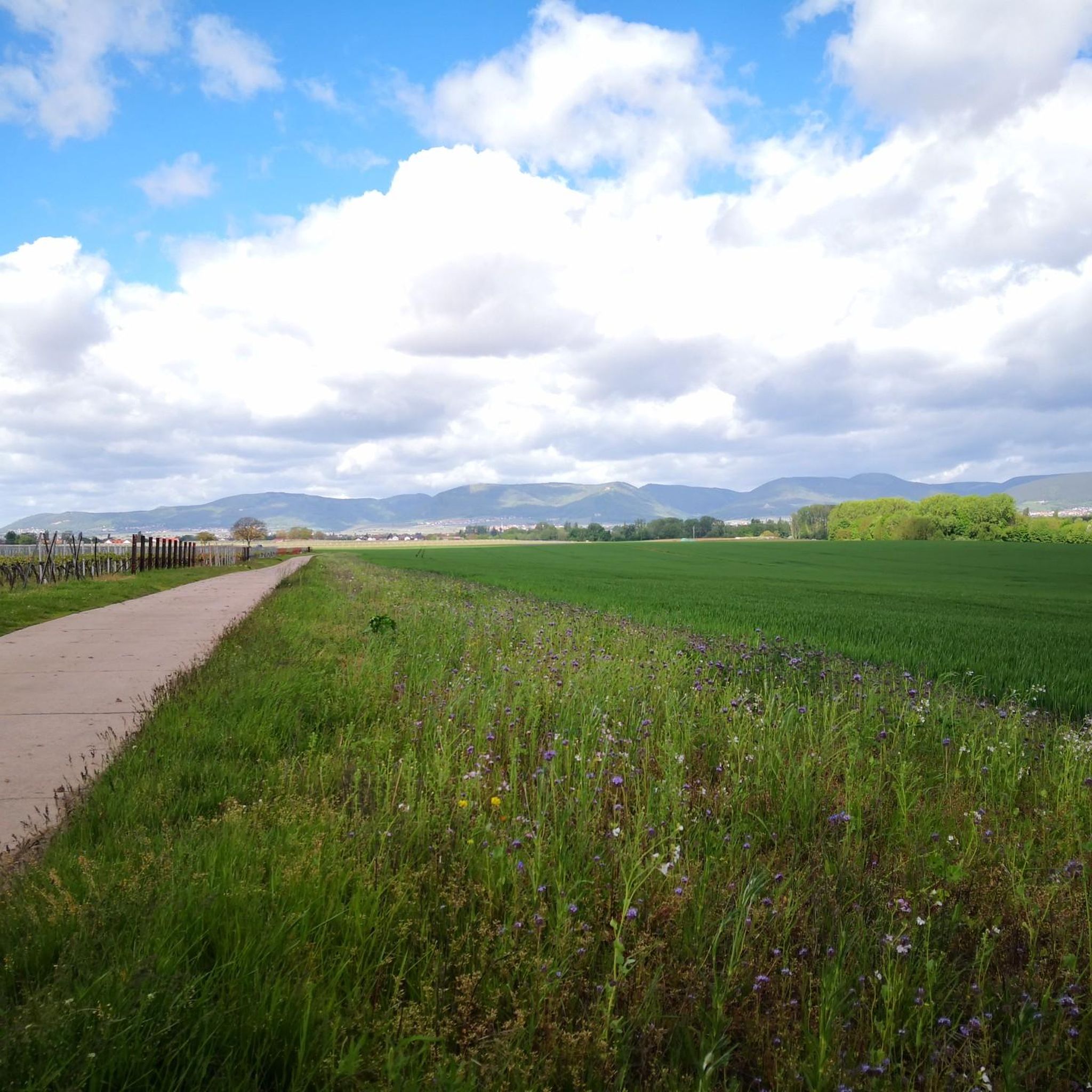
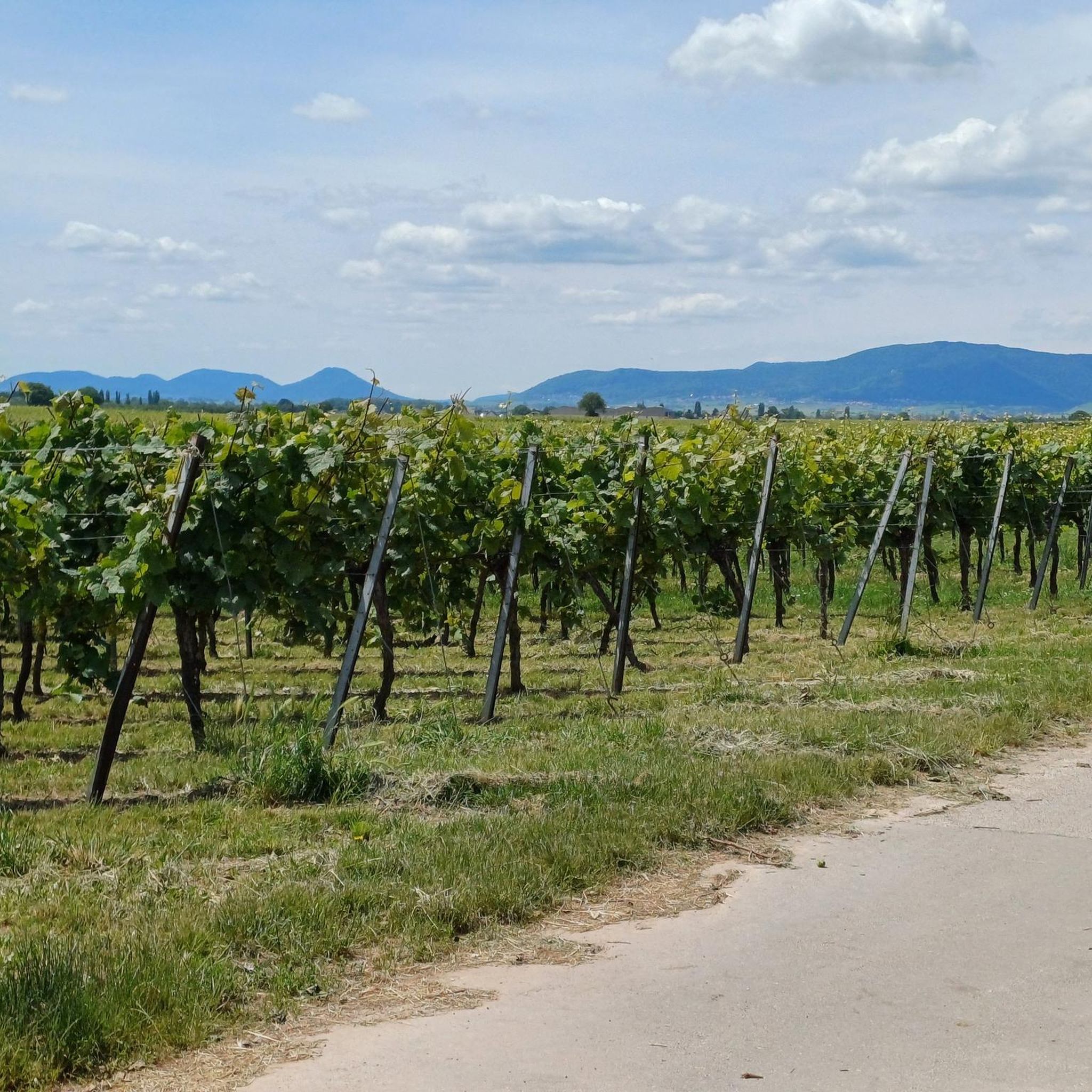
The roundabout is located in one of the most beautiful wine-growing regions with direct views of the Palatinate Forest. It's ideal for extended bike rides, wine festivals, or hikes.
0
0
フライマースハイム(プファルツ)でのの人気観光スポット

komootモバイルアプリでインスピレーションを得よう


さらに探索
他の地域の最高のロードサイクリングルートを見てみましょう。
