ヘルモンゼトの絶景の山頂・トップ20
絶景を目指して登るのであれ、達成感のために登るのであれ、山頂を訪れることで、ヘルモンゼトの美しい自然をもっと満喫することができます。20
もの選択肢の中から、制覇する山頂を決めるのは簡単ではありません。スムーズに次の冒険で目指す山頂を選べるように、ヘルモンゼトの素晴らしい山頂をこのガイドにまとめました。
最終更新日: 10月 10, 2026
ユーフェミア展望台(Pöstlingberg)からのリンツの眺め
ハイライト • 展望台
翻訳者 Google •
役立つ情報 は

グローサー・ツァイスベルク山頂
ハイライト • 山頂
翻訳者 Google •
役立つ情報 は

今すぐサインアップして、こんな場所を発見しよう
最高のシングルトラック、ピーク、その他のエキサイティングなアウトドアスポットのおすすめを受け取ろう。
三本ブナの十字架
ハイライト • トレイル
翻訳者 Google •
役立つ情報 は

コグラウアー・シュピッツ
ハイライト • 山頂
翻訳者 Google •
役立つ情報 は

ヴァクセンベルク城跡
ハイライト • 城
翻訳者 Google •
役立つ情報 は

無料でサインアップして、さらに多くの山を発見しましょう ヘルモンゼトでの。
すでにアカウントをお持ちですか?
無料アカウントで今日から始めよう
次の冒険が待っています。

コミュニティからのヒント

The view of Linz from the viewing platform on Pöstlingberg is breathtaking! From there, you have a magnificent view of the city and the surrounding landscape.
9
0

A Linz city summit for every season and every type of weather.
2
0

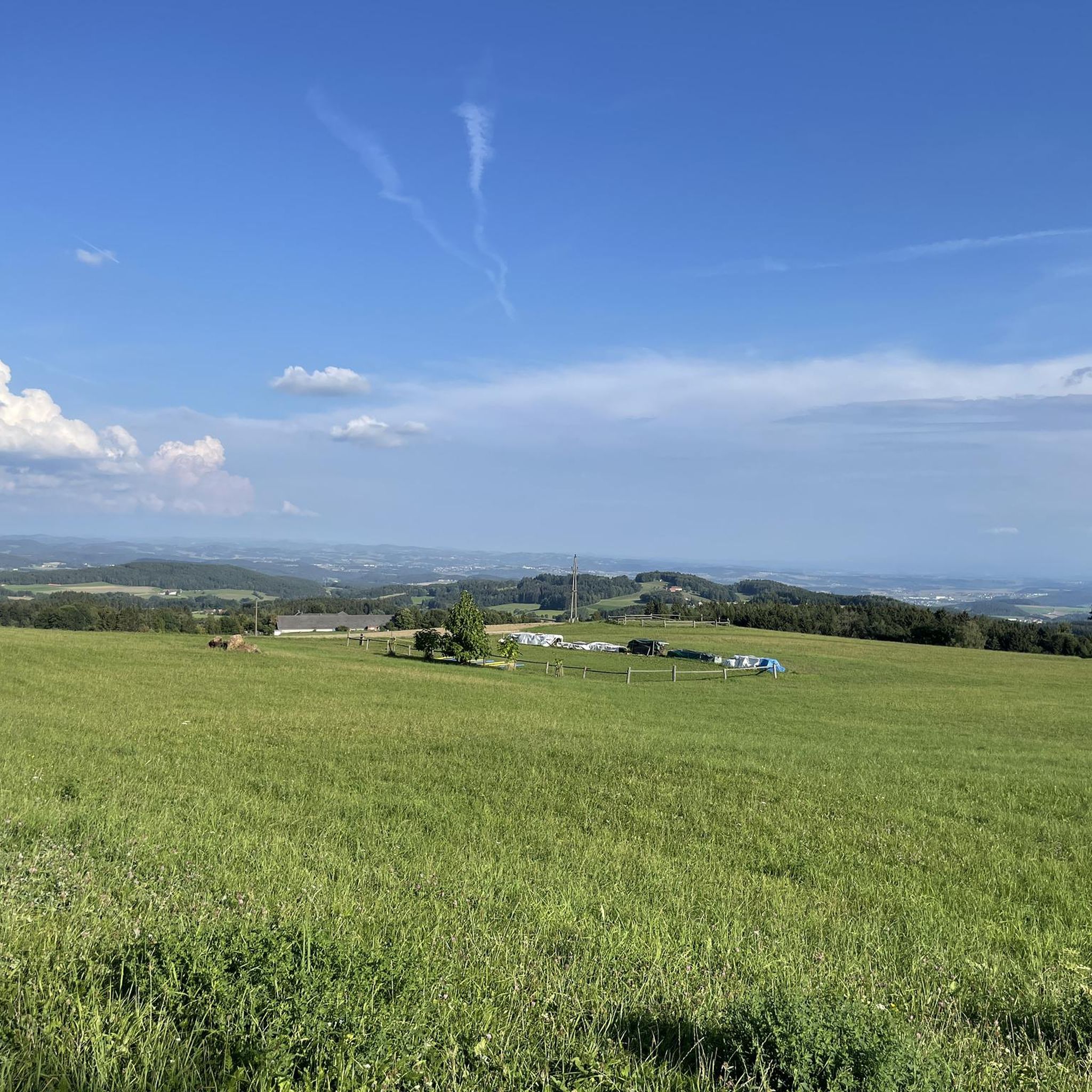
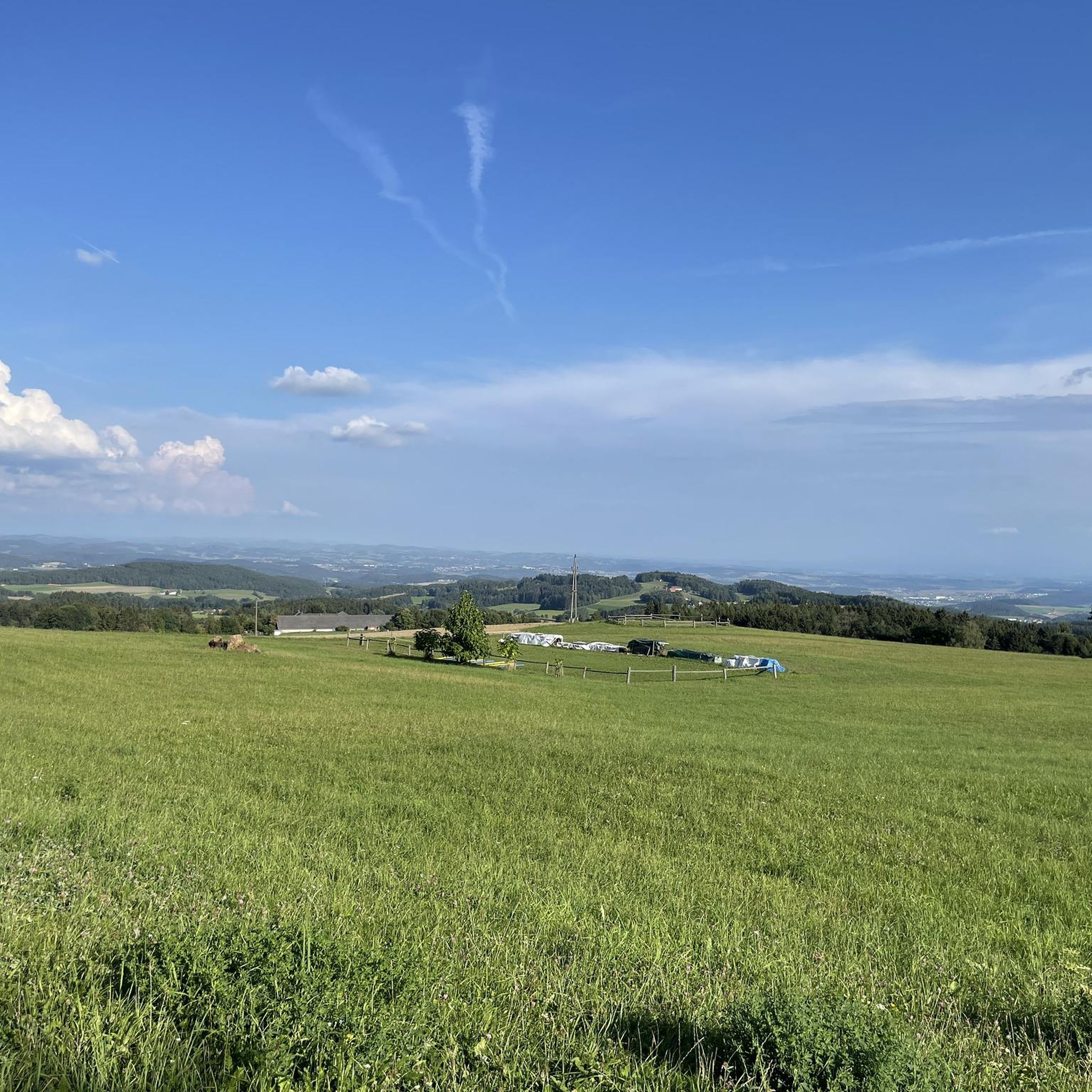
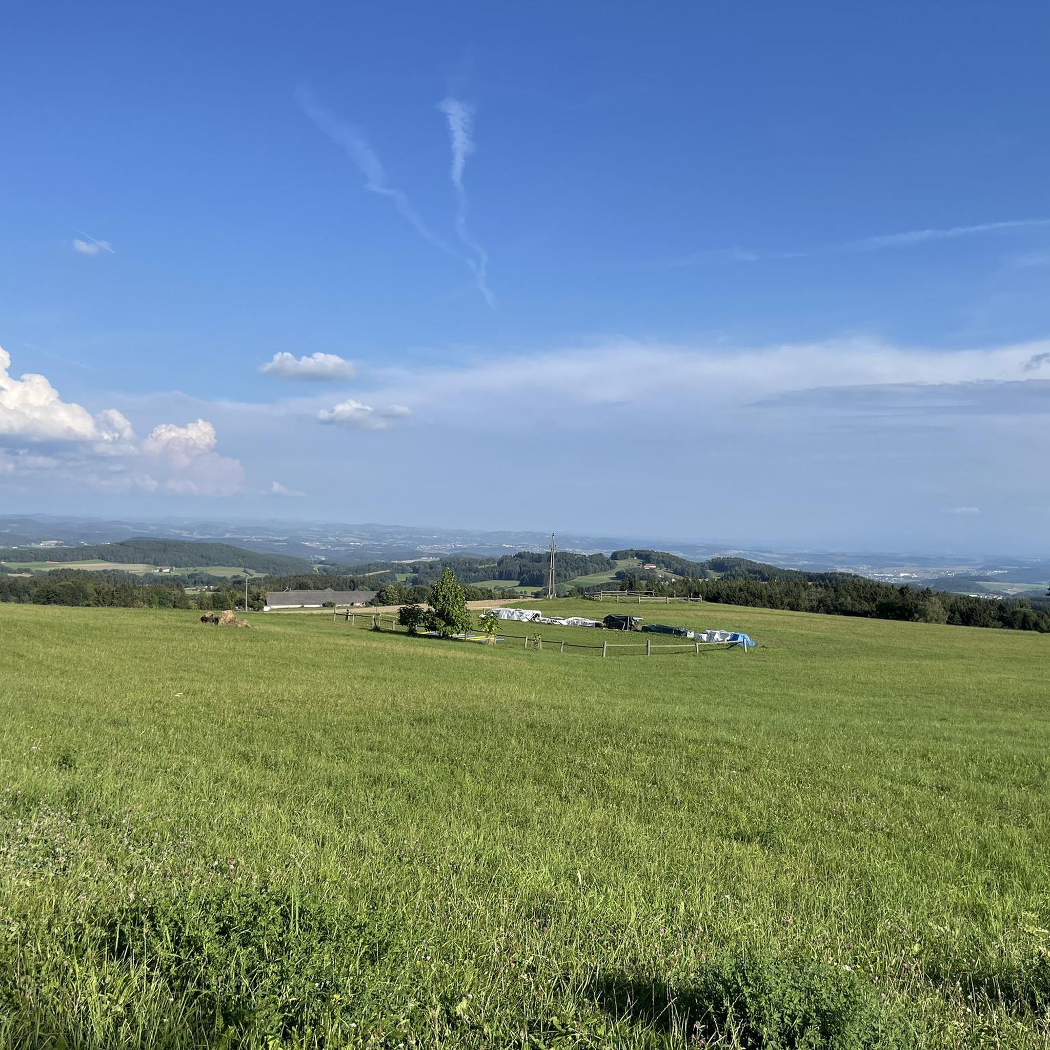
Unfortunately, there is no summit cross on the highest elevation with granite rocks on the Zeissberg, but the view and the tranquility of this place of power are all the more beautiful.
1
0

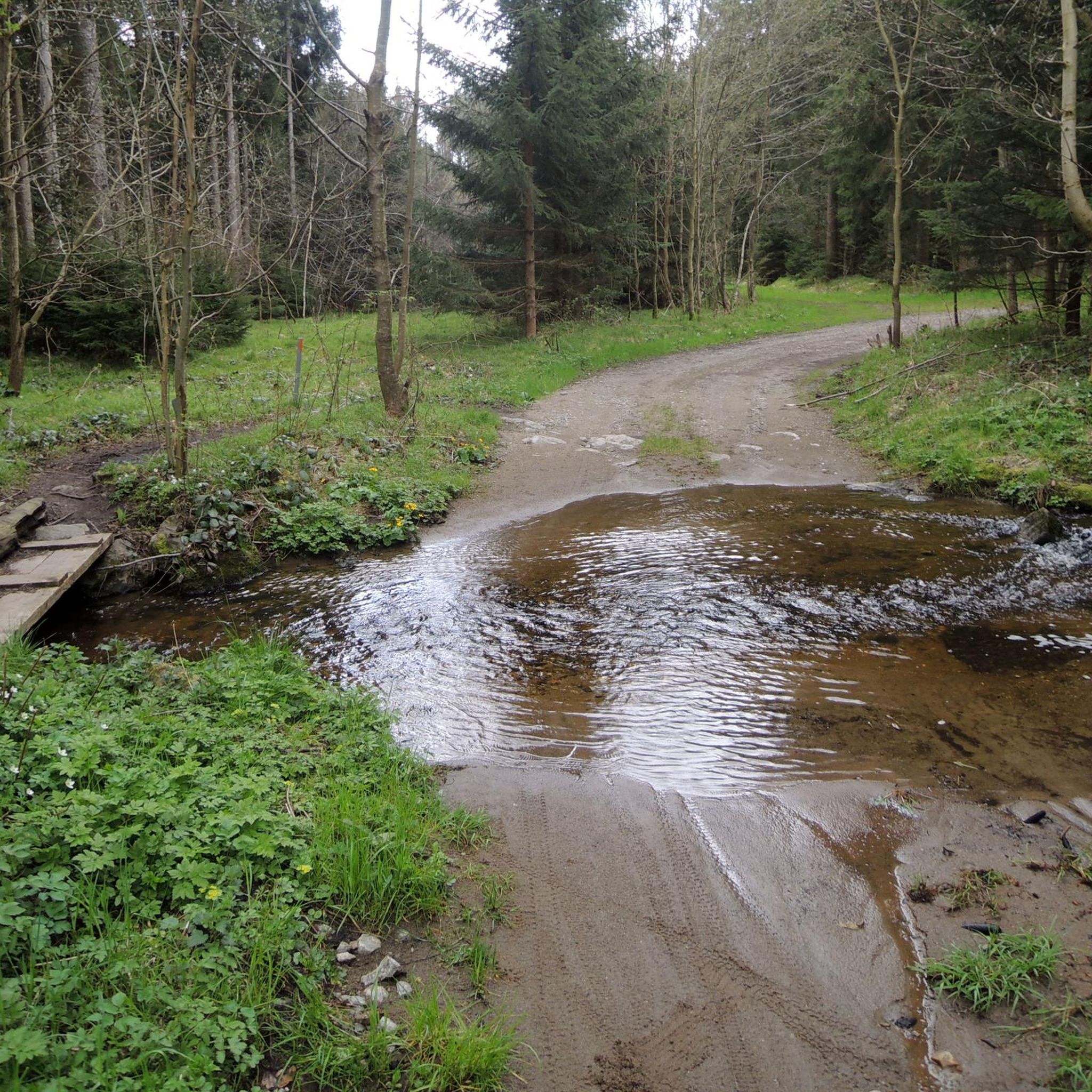
Meanwhile, the easier Dachstrail towards Daxleitner starts here - only the last part is tricky due to loose stones in the ditch.
2
1

The Koglerauer Spitz is a 685 meter high mountain. The view, especially of the Danube, is not that fantastic due to the tall trees. But the path from Pöstlingberg with the Alpine panorama is really great.
9
0
First you pass the Hunger Tower, which you can also visit from the inside.
1
2

Koglerauer Spitz is a 685 meter high mountain in the Mühlviertel in Upper Austria. It lies on the border between the communities of Puchenau and Gramastetten, near the town of Großamberg. It is a popular excursion mountain near the state capital Linz. At its summit there is a summit cross and a rest area with a wonderful view of the Danube and the Eferdinger Basin. There are various hiking trails that lead to the Koglerauer Spitz. One option is to follow the Bleicherbachtal from Ottensheim and then reach the summit via a steep climb. The hike takes about 3 hours there and back and is moderately difficult. Another option is to do the 3 streams - 4 mountains tour from Gramastetten, which leads over the Koglerauer Spitz. This hike is a little longer and more demanding, takes about 5 hours and offers beautiful views of the Mühlviertel landscape. If you like hiking, you can also try the Danube Trail, which runs along the north bank of the Danube and over the Koglerauer Spitz. This long-distance hiking trail is 288 kilometers long and divided into several stages. It offers a varied mix of nature, culture and history along the river.
4
0

“Zeissberg-Rundweg” no longer exists in this form in Neumarkt im Mühlkreis.
0
0
ヘルモンゼトでのの人気観光スポット

komootモバイルアプリでインスピレーションを得よう


さらに探索
これらのガイドでさらに素晴らしい頂上を見てみましょうヘルモンゼトでの:
