ルート

プランナー

機能

アップデート

App

ログインまたはサインアップ

アプリを入手

ログインまたはサインアップ

ログインまたはサインアップ

ルート
Places to see
Natural Monuments
オーストリア
オーバーエスターライヒ
ミュールフィアテル
ウーアファール周辺

ヘルモンゼト

ヘルモンゼトの天然記念物・トップ20


ヘルモンゼトが誇る美しい風景を見てみたいなら、ヘルモンゼトの素晴らしい天然記念物・トップ20
に行ってみましょう。あなたにぴったりの場所が見つかるよう、素晴らしい天然記念物を探索するために必要なすべての情報を集めました。次のアウトドアの冒険に出かける計画の参考にしましょう。

最終更新日: 5月 11, 2026

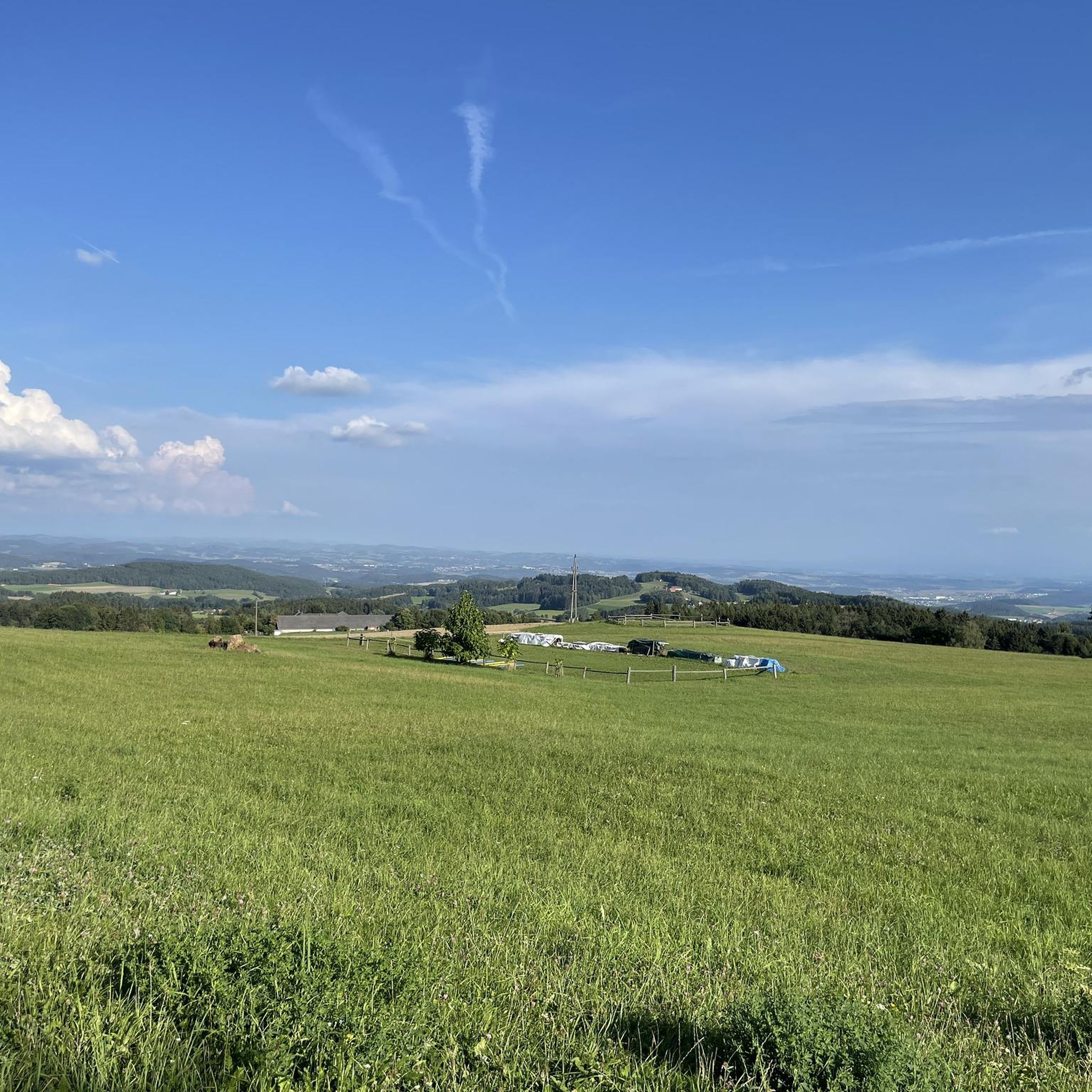
グローサー・ツァイスベルク山頂

ハイライト • 山頂

“Zeissberg-Rundweg” no longer exists in this form in Neumarkt im Mühlkreis.

翻訳者 Google •

役立つ情報

によるものです

ここでのハイキングを見る

スマートフォンに送信

保存

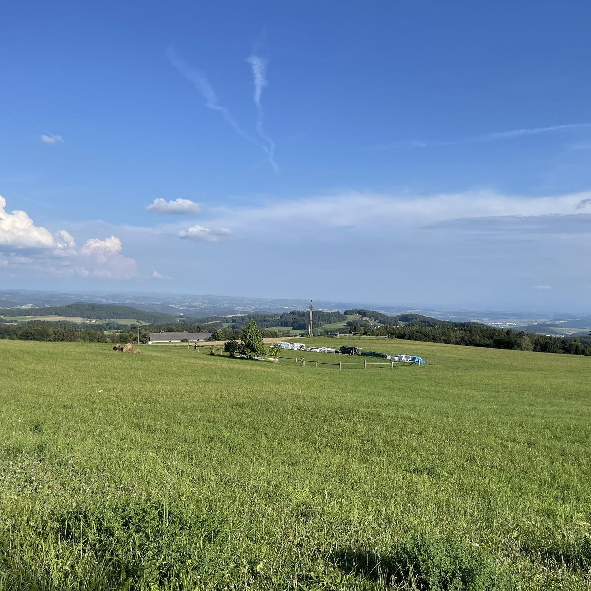
It points to a geological condition whereby the Rodl flows into the Danube and this in turn into the Black Sea, while on the other hand the Granitzbach flows into the Vltava, Elbe and North Sea.

翻訳者 Google •

役立つ情報

によるものです

保存

今すぐサインアップして、こんな場所を発見しよう

最高のシングルトラック、ピーク、その他のエキサイティングなアウトドアスポットのおすすめを受け取ろう。

無料新規登録

コグラウアー・シュピッツ

ハイライト • 山頂

The Koglerauer Spitz is a 685 meter high mountain. The view, especially of the Danube, is not that fantastic due to the tall trees. But the path from Pöstlingberg with the Alpine panorama is really great.

翻訳者 Google •

役立つ情報

によるものです

保存

Ura Stoa山頂

ハイライト • 山頂

A small, typical granite stone summit around which many stories are probably entwined. Another couple of hikers explained the meaning of the word "Ura(h)". It is said to be an …

翻訳者 Google •

役立つ情報

によるものです

保存

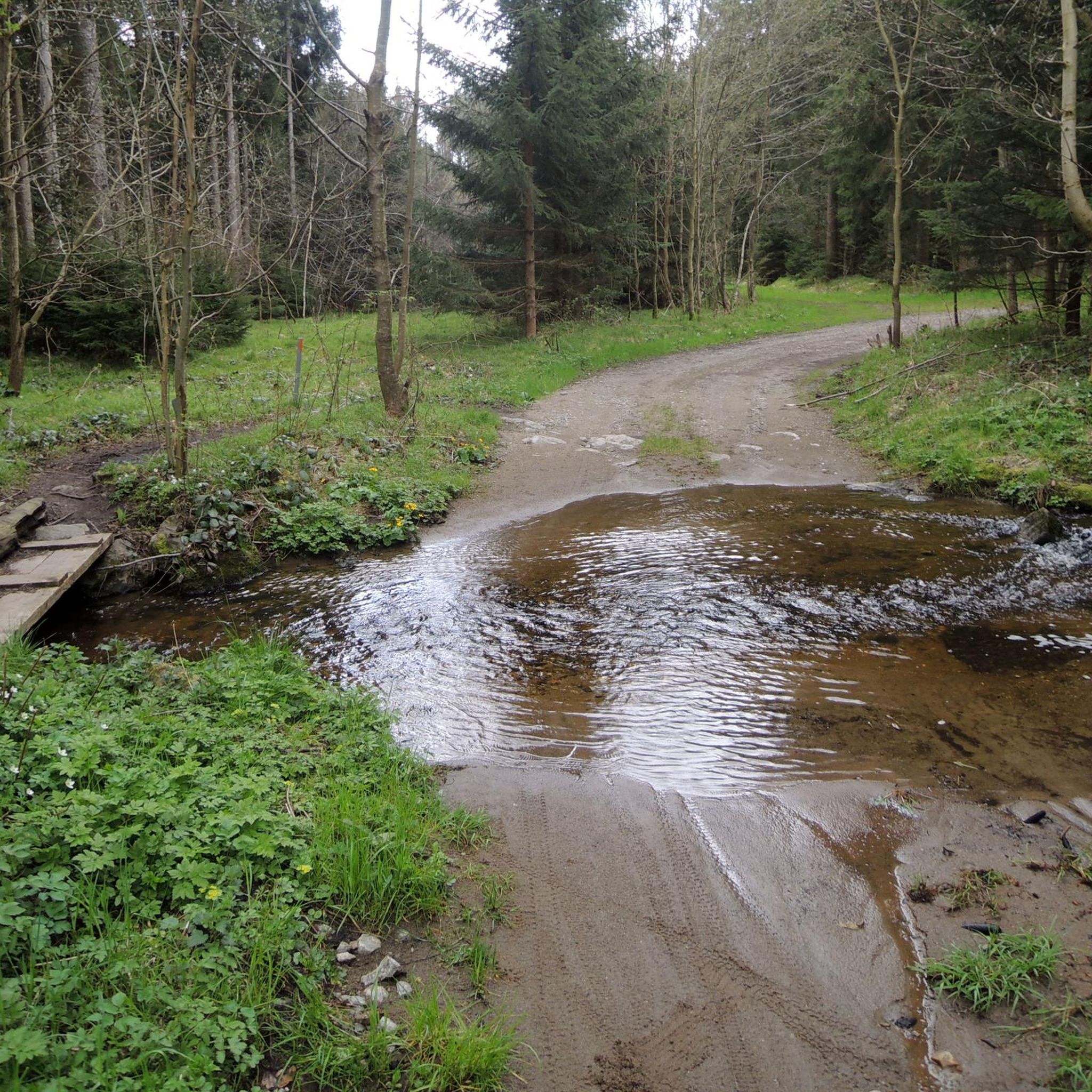
The Bründl is located not far from the Maierwiese and is easily accessible from the mountain. Very nice decoration of the Bründl.

翻訳者 Google •

役立つ情報

によるものです

保存

無料でサインアップして、さらに多くの自然記念物を発見しましょう ヘルモンゼトでの。

無料新規登録

すでにアカウントをお持ちですか?

無料アカウントで今日から始めよう

次の冒険が待っています。
ログインまたは登録

ヘルモンゼト周辺で人気

ヘルモンゼトでのハイキング

ヘルモンゼトのMTBトレイル

ヘルモンゼトのロードバイクルート

ヘルモンゼトでのサイクリング

ヘルモンゼトでののグラベルライド

ヘルモンゼトでの登山&山歩き

ヘルモンゼトのランニングコース

コミュニティからのヒント

Daniel Feilmayr
7月 13, 2025, European Watershed Monument Mühlviertel

It points to a geological condition whereby the Rodl flows into the Danube and this in turn into the Black Sea, while on the other hand the Granitzbach flows into the Vltava, Elbe and North Sea.

Google翻訳による翻訳

6

0

From the west, the access is technically tricky (trail between the trees and stones), from the east side it is much easier to ride. Bike tracks can be found right up to the top - so there are some very motivated / brave people there 😎

Google翻訳による翻訳

0

0

Unfortunately, there is no summit cross on the highest elevation with granite rocks on the Zeissberg, but the view and the tranquility of this place of power are all the more beautiful.

Google翻訳による翻訳

1

0

The European watershed is not often found. Here at iBad Leonfelden you will find it again. It is a very thoughtful way of paying attention to the watershed.

Google翻訳による翻訳

0

0

The Bründl is located not far from the Maierwiese and is easily accessible from the mountain. Very nice decoration of the Bründl.

Google翻訳による翻訳

7

0

The Koglerauer Spitz is a 685 meter high mountain. The view, especially of the Danube, is not that fantastic due to the tall trees. But the path from Pöstlingberg with the Alpine panorama is really great.

Google翻訳による翻訳

8

0

A nice destination in the Mühlviertel.

Google翻訳による翻訳

0

0

Koglerauer Spitz is a 685 meter high mountain in the Mühlviertel in Upper Austria. It lies on the border between the communities of Puchenau and Gramastetten, near the town of Großamberg. It is a popular excursion mountain near the state capital Linz. At its summit there is a summit cross and a rest area with a wonderful view of the Danube and the Eferdinger Basin. There are various hiking trails that lead to the Koglerauer Spitz. One option is to follow the Bleicherbachtal from Ottensheim and then reach the summit via a steep climb. The hike takes about 3 hours there and back and is moderately difficult. Another option is to do the 3 streams - 4 mountains tour from Gramastetten, which leads over the Koglerauer Spitz. This hike is a little longer and more demanding, takes about 5 hours and offers beautiful views of the Mühlviertel landscape. If you like hiking, you can also try the Danube Trail, which runs along the north bank of the Danube and over the Koglerauer Spitz. This long-distance hiking trail is 288 kilometers long and divided into several stages. It offers a varied mix of nature, culture and history along the river.

Google翻訳による翻訳

4

0

ヘルモンゼトでのの人気ルート

ヘルモンゼトのファミリーハイキング

ヘルモンゼトでのの人気観光スポット

Places to see

Store rating

komootモバイルアプリでインスピレーションを得よう

無料のkomootアカウントがあれば、無限のアウトドアコースを簡単に見つけてカスタマイズし、ナビで案内できます。

または

今すぐkomootに参加しよう

Store rating

さらに探索

これらのガイドで、最高の洞窟を探す範囲を広げましょうヘルモンゼトでの:

フェルトキルヒェンアンデアドナウグラマシュテッテンSanktGotthardimMühlkreisヴァルディングGoldwörthヘルツォークスドルフエンガーヴィッツドルフアルテンベルク・バイ・リンツシュタイレックVorderweißenbachシェンケンフェルデンオッテンスハイムバート・レオンフェルデンライヒェンタールゾンベルク・イン・ミュールクライスキルヒシュラークベイリンツReichenauimMühlkreisオーバーオイキルヒェンハイバッハ・イム・ミュールクライスZwettl an der RodlガロイキルヒェンOttenschlagimMühlkreisリヒテンベルクプヘナウアルバーンドルフ・イン・デア・リードマルクアイデンベルクSternwald

近くのアドベンチャーガイド

Breitlüsser Waldでやるべきこと

background

新しいピークを征服する準備をしよう

無料でサインアップ

探検する
ルートルートプランナー機能ハイキングMTBトレイルロードバイクルートバイクパッキングサイトマップ
アプリをダウンロード
SNSでフォローする

© komoot GmbH

プライバシーポリシー