ハイバッハ・イム・ミュールクライスの絶景の山頂・トップ19
絶景を目指して登るのであれ、達成感のために登るのであれ、山頂を訪れることで、ハイバッハ・イム・ミュールクライスの美しい自然をもっと満喫することができます。19
もの選択肢の中から、制覇する山頂を決めるのは簡単ではありません。スムーズに次の冒険で目指す山頂を選べるように、ハイバッハ・イム・ミュールクライスの素晴らしい山頂をこのガイドにまとめました。
最終更新日: 10月 23, 2026
グローサー・ツァイスベルク山頂
ハイライト • 山頂
翻訳者 Google •
役立つ情報 は

リヒテンベルクのギーゼラ塔とギーゼラ十字架
ハイライト • 展望台
翻訳者 Google •
役立つ情報 は

今すぐサインアップして、こんな場所を発見しよう
最高のシングルトラック、ピーク、その他のエキサイティングなアウトドアスポットのおすすめを受け取ろう。
Ura Stoa山頂
ハイライト • 山頂
翻訳者 Google •
役立つ情報 は

キルヒベルク山頂の十字架
ハイライト • 山頂
The summit cross of the Naturfreunde Neumarkt im Mühlkreis
commemorates the year 2010, when 30 years of the Neumarkt local group were celebrated.
翻訳者 Google •
役立つ情報 は


無料アカウントで今日から始めよう
次の冒険が待っています。
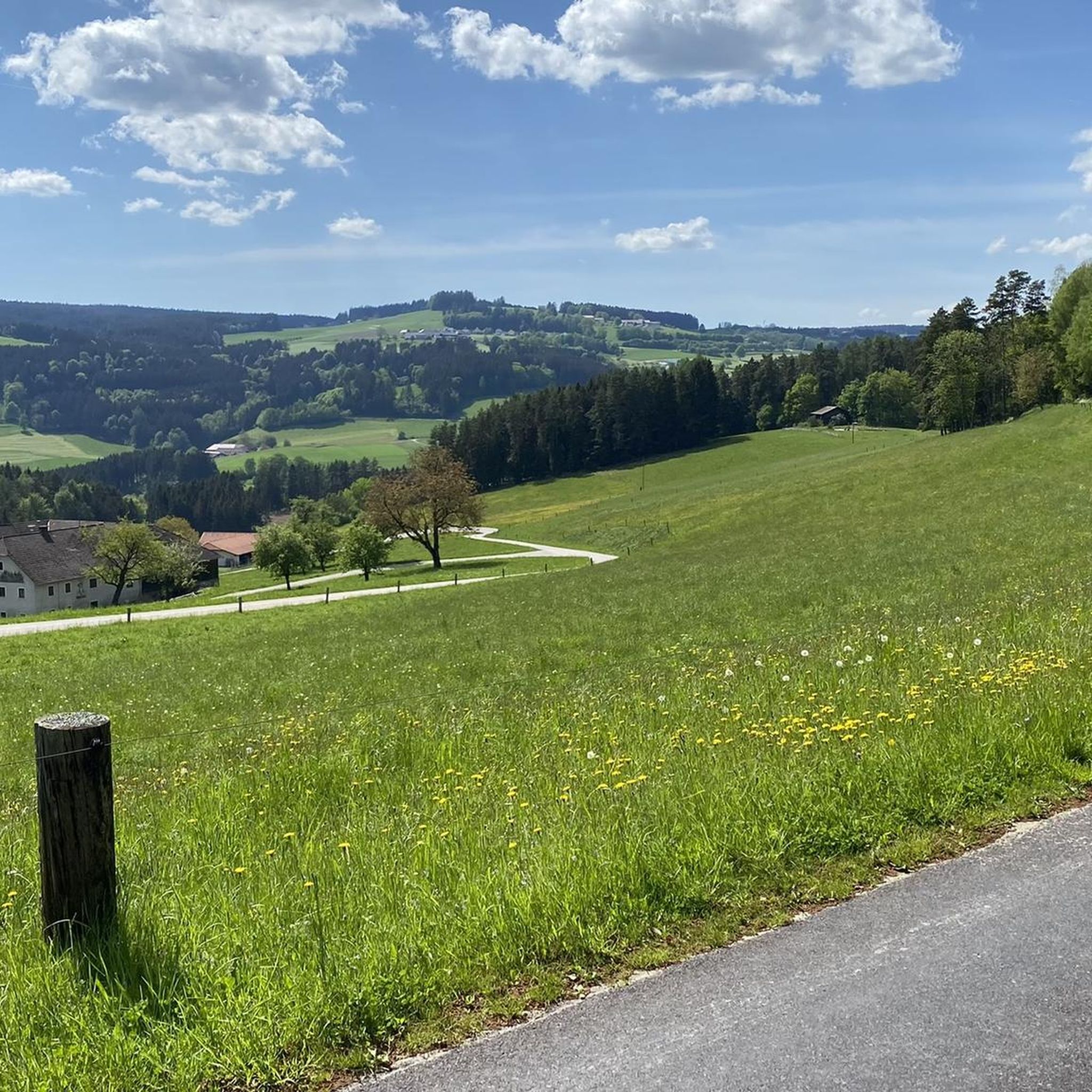
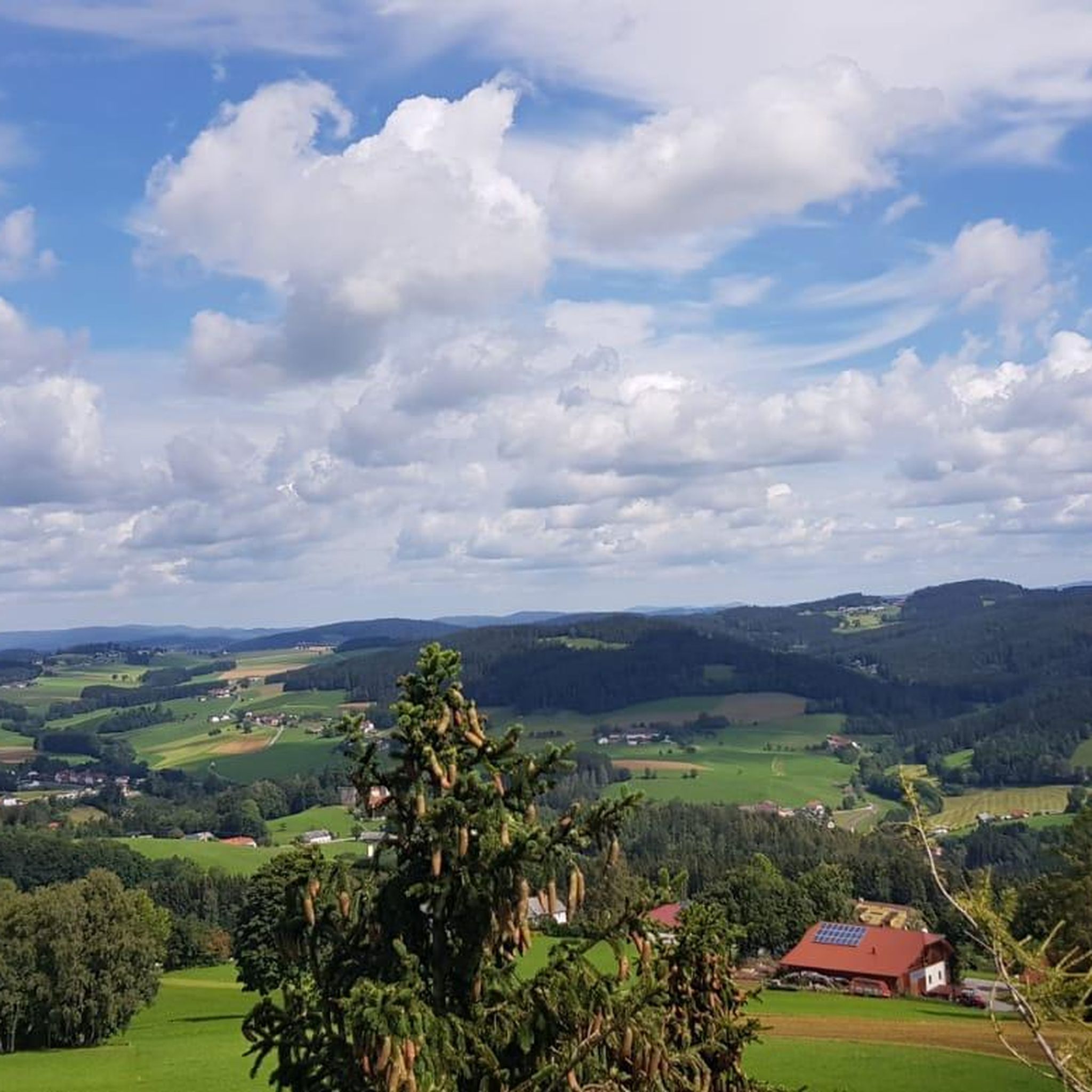
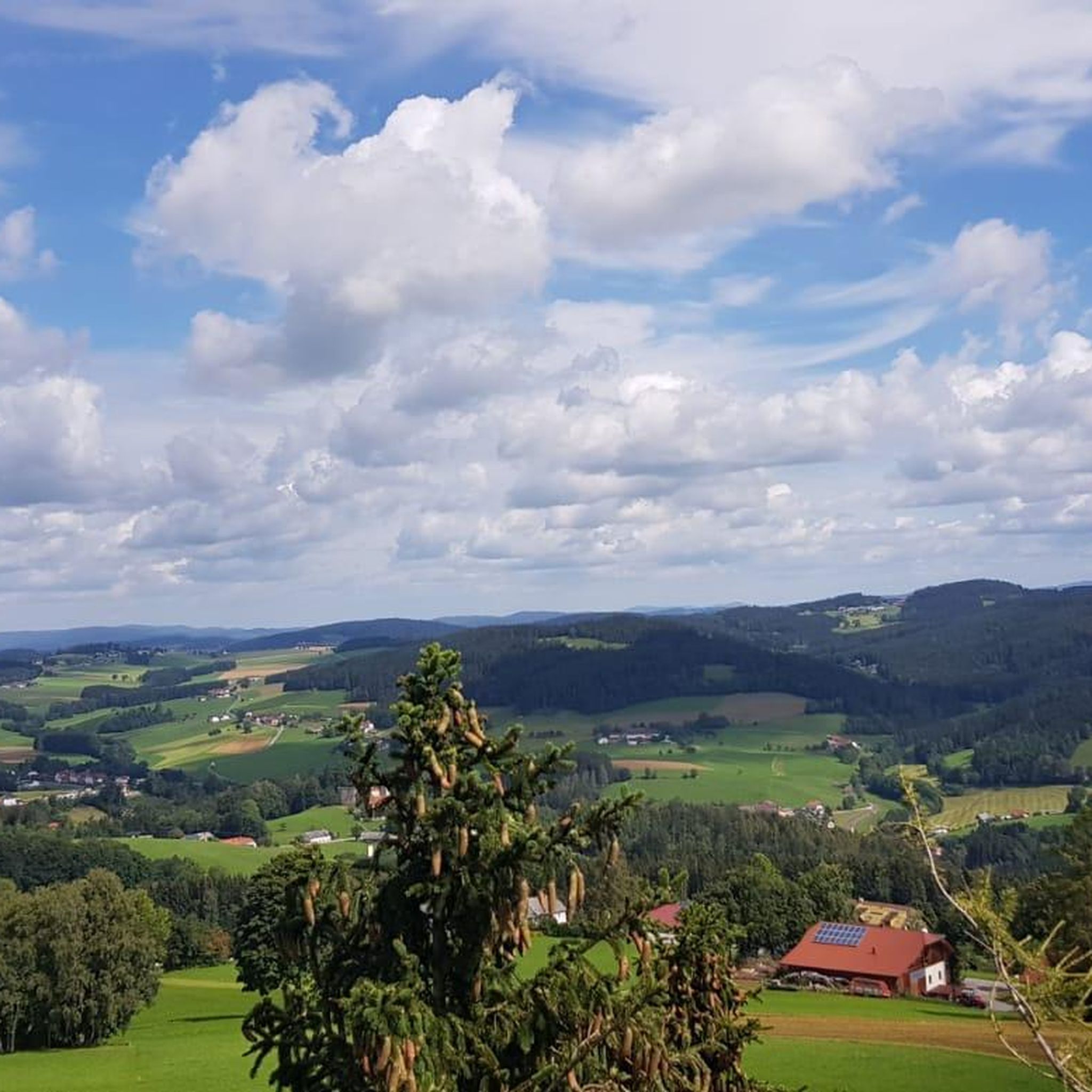
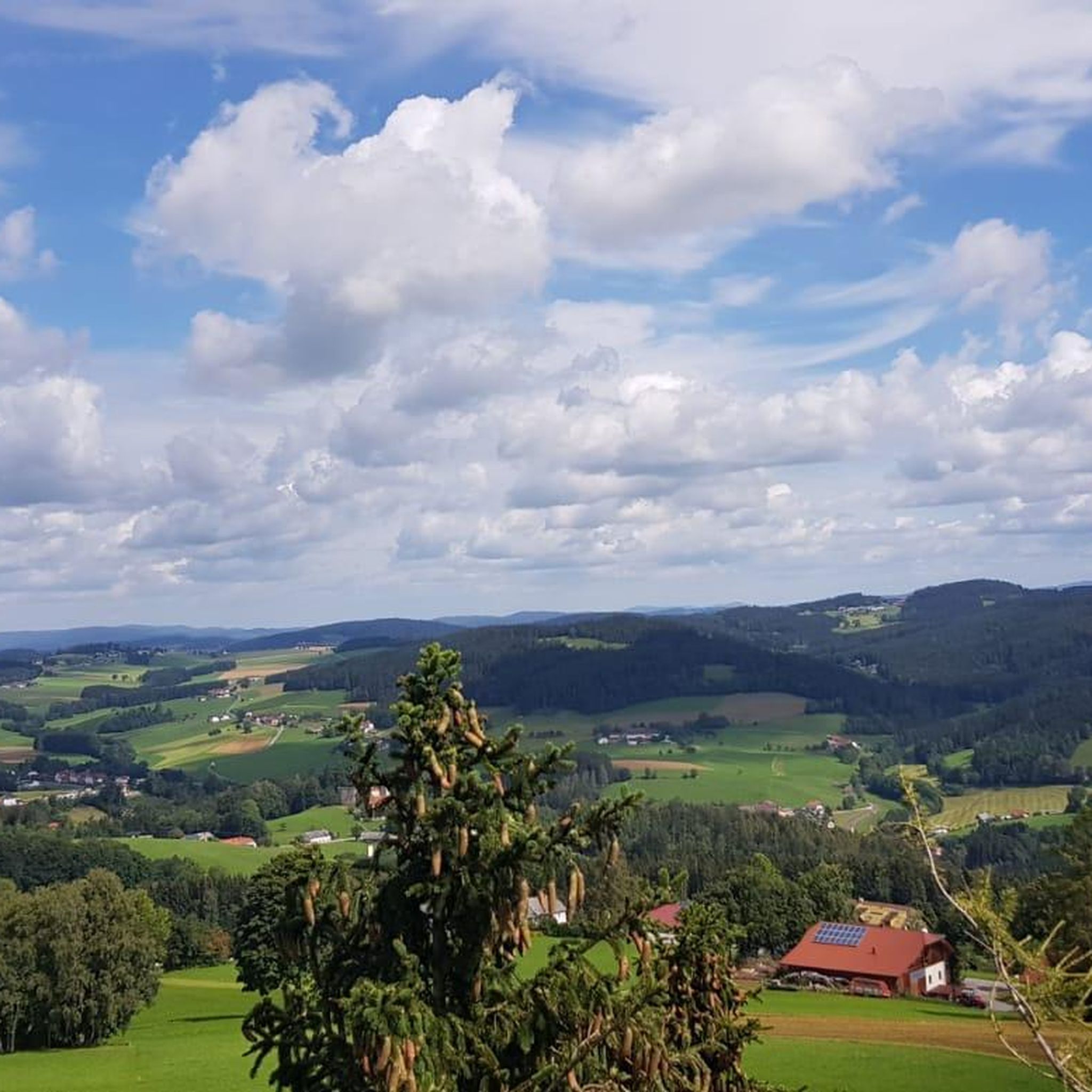

コミュニティからのヒント

ギゼラワルテは1856年に建てられ、皇帝フランツ・ヨーゼフの娘であるギゼラ皇女にちなんで名付けられました。1960年には2階建てが増築されました。
4
0


Cross at the Gisela Tower
6
0

The Kirchberg, at 852 m, is the highest elevation in the municipality of Neumarkt im Mühlkreis. A summit cross belonging to the Naturfreunde Neumarkt im Mühlkreis commemorates the year 2010, when the Neumarkt local group celebrated its 30th anniversary.
0
0
Highest elevation (852 m) in the municipality of Neumarkt im Mühlkreis. The summit cross of the Naturfreunde Neumarkt im Mühlkreis commemorates the year 2010, when 30 years of the Neumarkt local group were celebrated.
1
0

From the west, the access is technically tricky (trail between the trees and stones), from the east side it is much easier to ride. Bike tracks can be found right up to the top - so there are some very motivated / brave people there 😎
0
0
Leave the bike down below and climb up on foot, go around it in the south, but there is really a bit of a path missing - but you can push it through the forest.
0
0

Unfortunately, there is no summit cross on the highest elevation with granite rocks on the Zeissberg, but the view and the tranquility of this place of power are all the more beautiful.
1
0
ハイバッハ・イム・ミュールクライスでのの人気観光スポット

komootモバイルアプリでインスピレーションを得よう


さらに探索
これらのガイドでさらに素晴らしい頂上を見てみましょうハイバッハ・イム・ミュールクライスでの:
