エルストフェルトのおすすめウォーキング&ハイキングルート
4.4
(124)
1,272
ハイカー
19
ハイキング
エルストフェルト周辺でのハイキングは、景色を満喫するのに最適な手段のひとつですが、適切なハイキングルートを見つけることは簡単ではありません。 エルストフェルト周辺の人気ハイキング&ウォーキングコースを参考にすれば、行きたいルートをすぐに見つけられます。
最終更新日: 10月 14, 2026
5.0
(3)
37
ハイカー
13.2km
07:04
980m
1,050m
難しいハイキング. 標準以上のフィットネスレベルが必要です。 安定して歩行できる技術、丈夫な靴、高標高地での登山経験が必要です。
3.2
(5)
35
ハイカー
28.4km
07:33
250m
250m
難しいハイキング. 標準以上のフィットネスレベルが必要です。 全般的に進みやすいルートです。安定して歩行できる技術が必要です。

3.0
(1)
14
ハイカー
12.8km
06:21
1,280m
1,280m
難しいハイキング. 標準以上のフィットネスレベルが必要です。 安定して歩行できる技術、丈夫な靴、高標高地での登山経験が必要です。
16
ハイカー
3.96km
01:02
20m
30m
初級者向けハイキング. あらゆるフィットネスレベルに適しています。 進みやすいルートです。あらゆるスキルレベルに適しています。
16
ハイカー
4.83km
01:17
50m
50m
初級者向けハイキング. あらゆるフィットネスレベルに適しています。 進みやすいルートです。あらゆるスキルレベルに適しています。
さらに多くのルートや他のユーザーのおすすめ情報を確認できます。
すでにアカウントをお持ちですか?
おすすめのツアーは他のkomootユーザーが実際に経験した何千ものアクティビティに基づいています。




コミュニティからのヒント

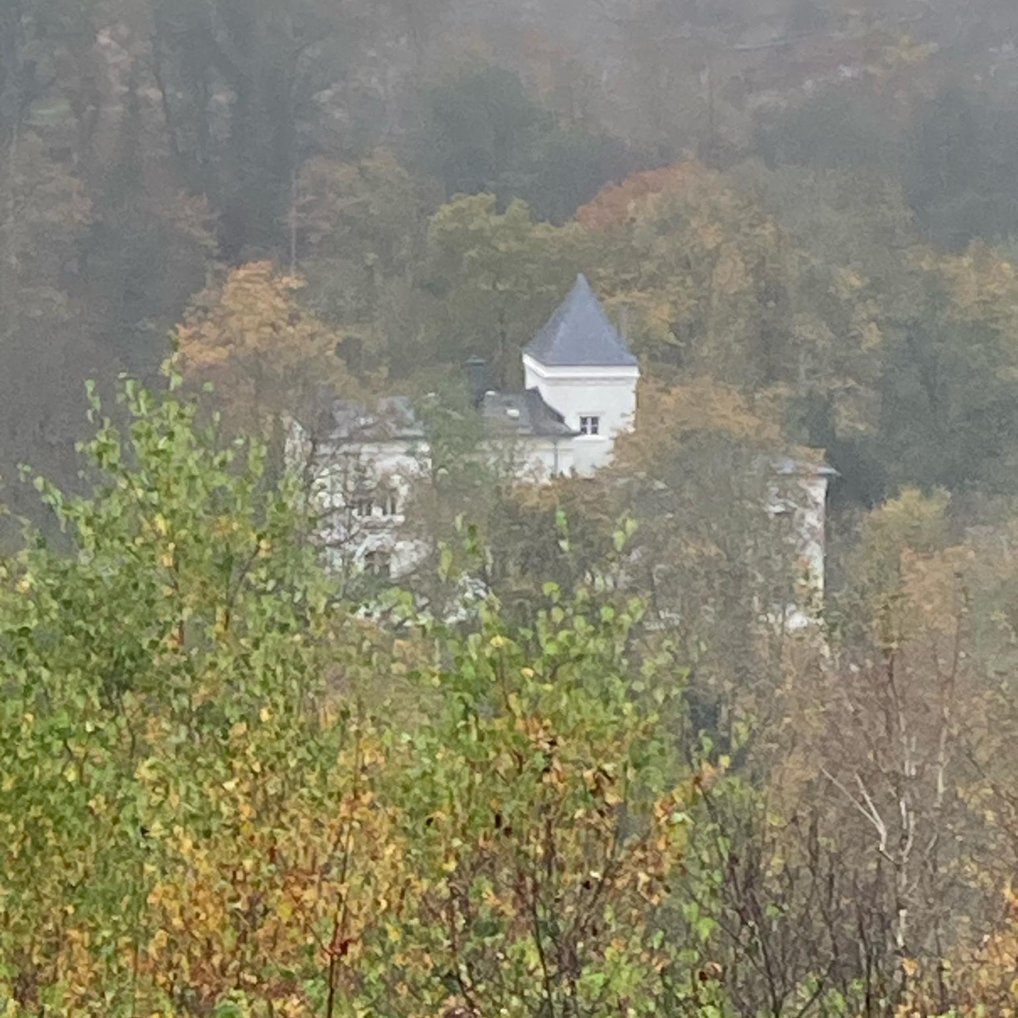
マイエル塔ジレネン / ジレネン貴族男爵の塔 かつて5階建ての居住塔であったジレネン貴族男爵の塔は、12世紀に建てられました。「ジレネン貴族男爵」はここで「マイアー」として職務を行い、フラウムュンスター修道院のために十分の一税と利子を徴収していました。 1989年に塔は改修され、歩道と屋根が設置されました。現在、塔の所有者はウリ州です。 2002年夏に塔は階段が設置され、一般に公開されました。塔はイベントのために借りることができます。詳細はジレネン町役場(電話 041 884 81 10)にお問い合わせください。 テキスト / 出典: ジレネン町役場、Gotthardstrasse 217, Silenen https://silenen.ch/tourismus/brauchtum-historisches/historische-bauten/turm-der-edlen-freiherren-von-silenen
14
0

マイエル塔(Turm der Edlen von Silenenとしても知られる)は、スイスのウーリ州シレネンにある自治体に位置しています。 シレネンの貴族はチューリッヒのフラウムュンスター修道院の代官(マイアー)を務め、ロイスタール中央部のその財産を管理していました。13世紀に建てられたこの塔は、彼らの住居兼官邸として機能していました。 マイエル塔は国家的重要文化財(KGS-Nr. 10449)です。 94段の階段を上ると、高さ16メートルの内側の展望台に出ます。そこからは、アムシュテグとシレネンの両方の町、そしてウーリ・アルプスとグラルナー・アルプスの周囲の山々の景色を眺めることができます。 出典: https://de.wikipedia.org/wiki/Meierturm_Silenen
2
0


We did the tour backwards on May 3, 2025. It was great until halfway through. But then: It was still not very walkable, and the bridge over a waterfall was still beside us. Luckily, we found a way across the river, but it was simply too early to continue on that path.
0
0
We did the tour backwards on May 3, 2025. It was great until halfway through. But then: It was still not very walkable, and the bridge over a waterfall was still out of bounds. Luckily, we found a way across the river, but it was simply too early to take the path.
0
1

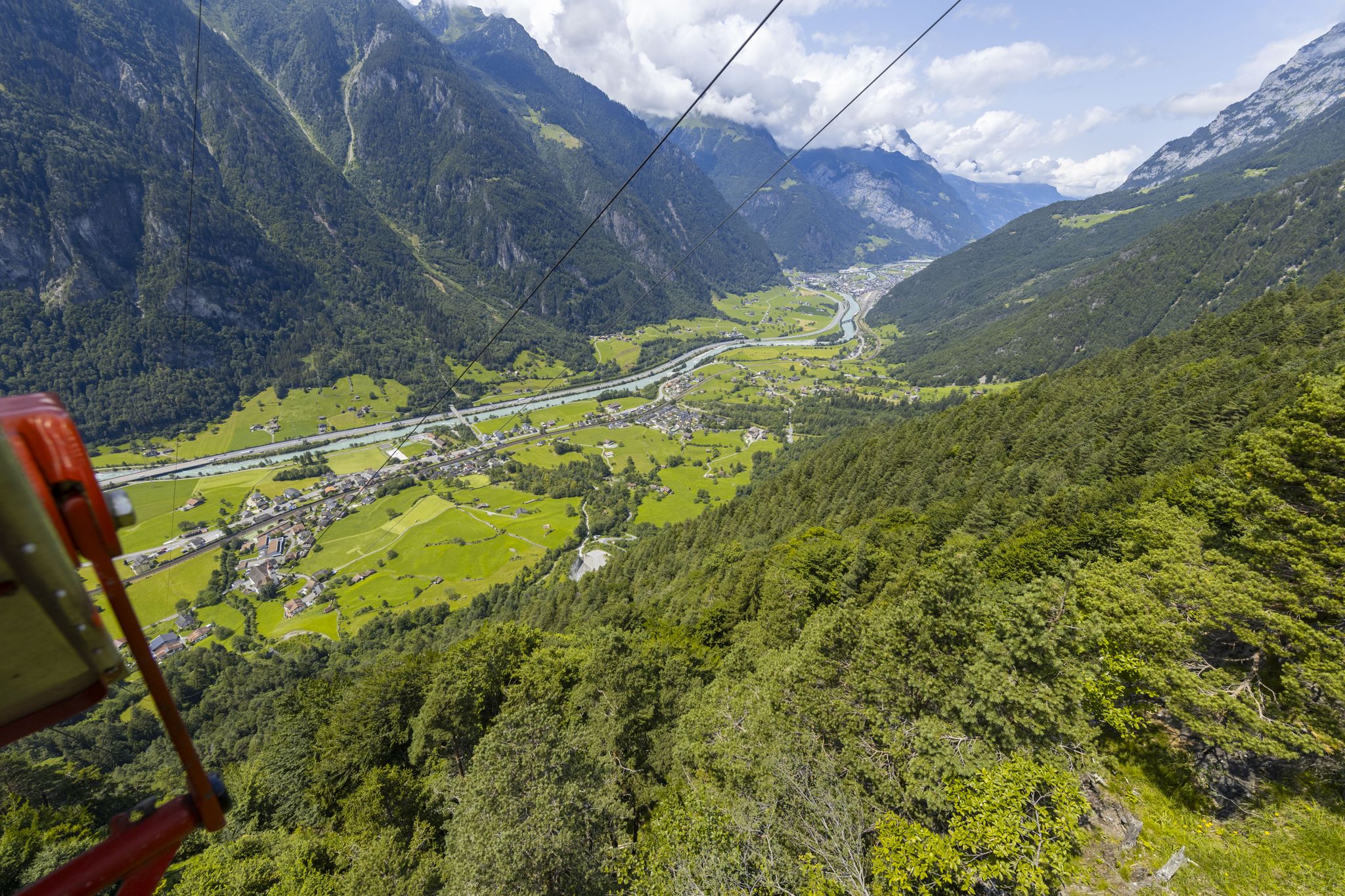
A small asphalt road leads up to the top station of the Wilerli cable car station (not for bikes). Thanks to the solid surface, you can easily get up from the Erstfeldertal and admire the magnificent view of the Central Swiss mountains on the way here.
1
0

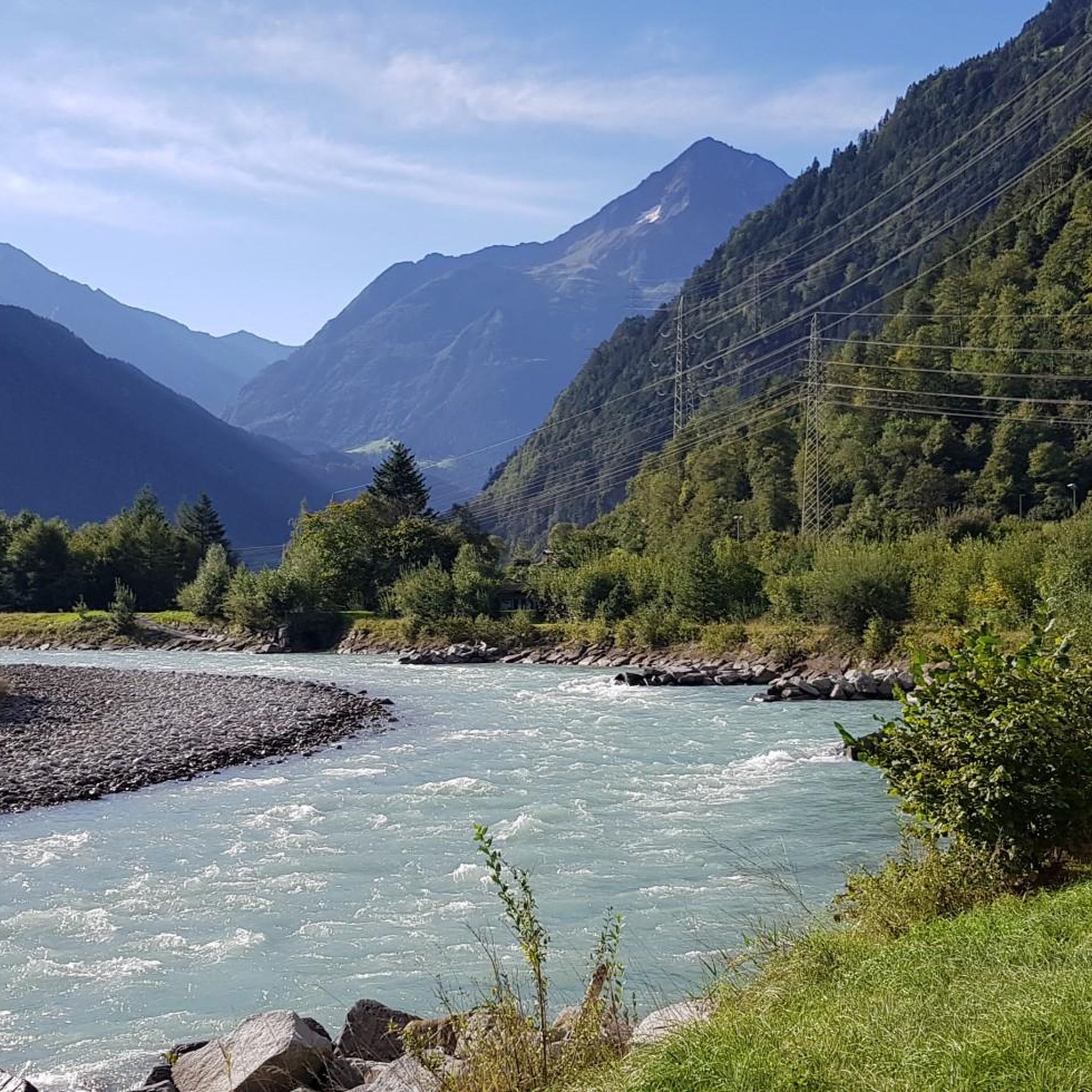
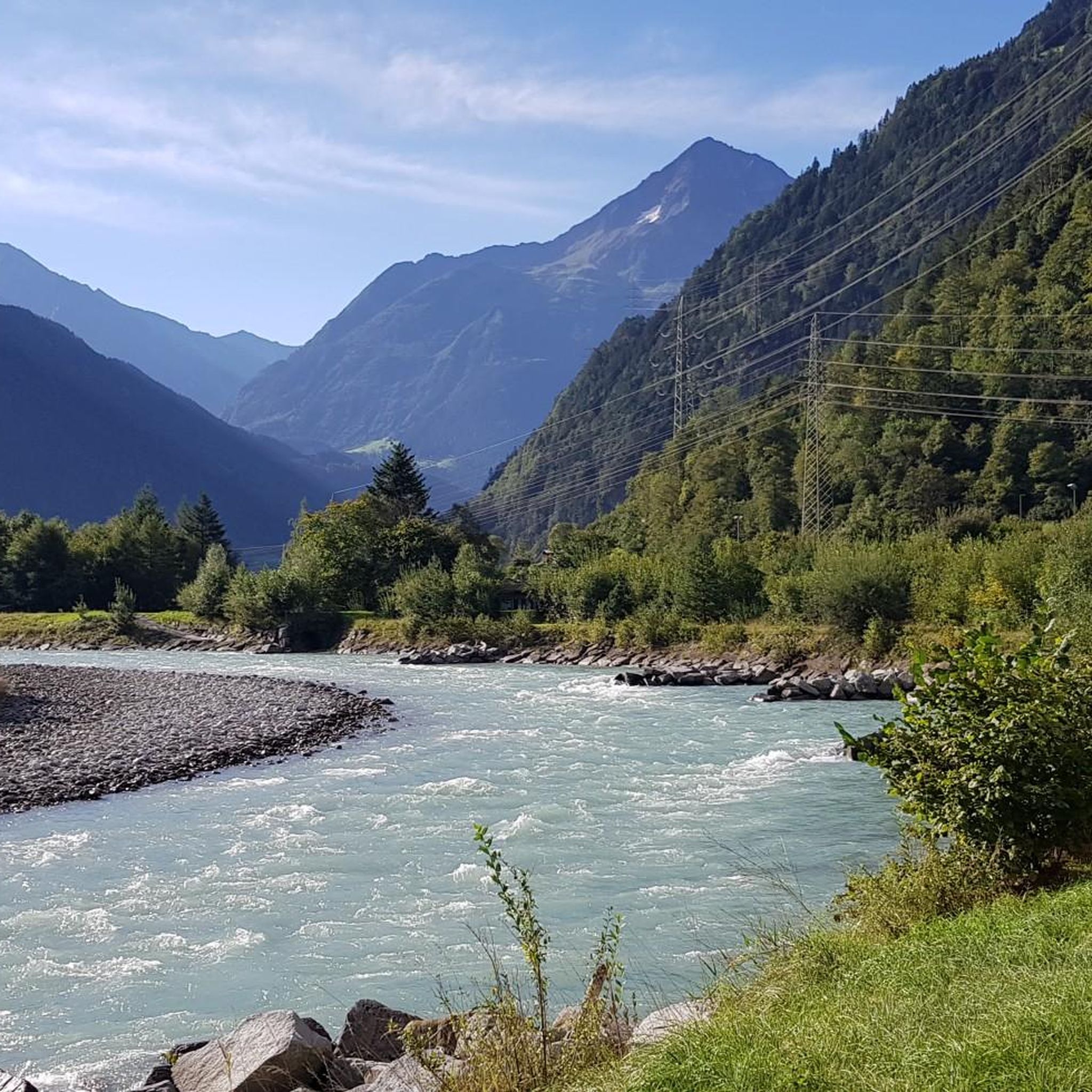
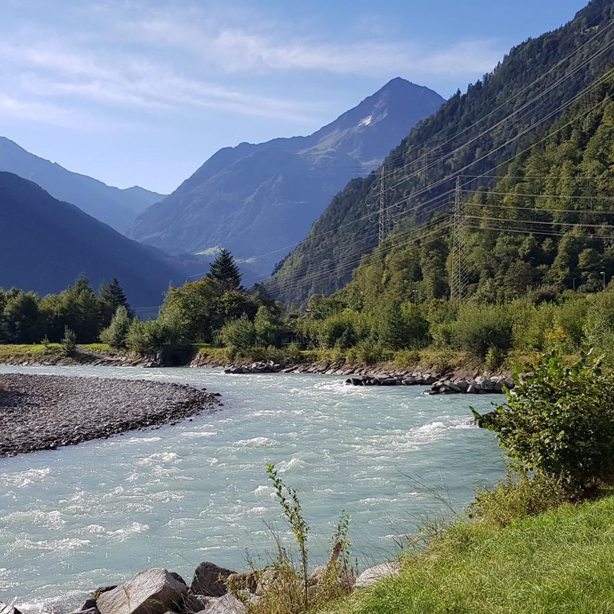
Shortly before Erstfeld you can enjoy this beautiful view of the Reuss.
0
0

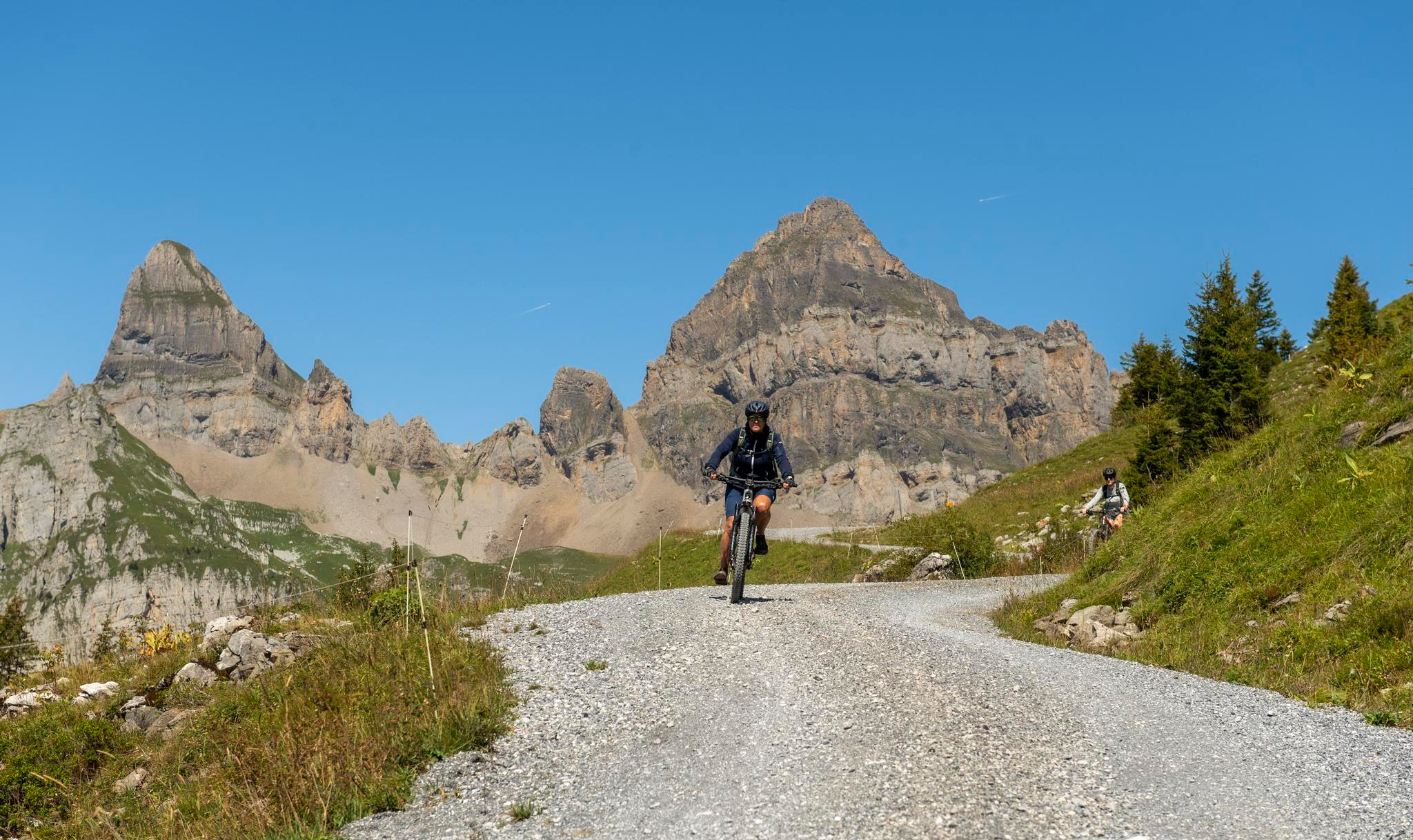
On the wide ridge of the Bälmeten there are countless possibilities and enough space to make yourself comfortable in various places and to enjoy the wonderful view. The path from the Grätli point up to the Bälmeten is a blue/white marked path from which you have wonderful views. It first leads briefly over a scree field, then over meadow paths and cool rocky scramble spots, e.g. T. Rope insured, up to the Bälmeten. Sure-footedness and a head for heights are of course a must on the blue and white marked paths and dry conditions are recommended, but otherwise it is not extremely demanding, but cool. The red/white marked path over the Bälmeter Grätli is technically easy, but also a very nice and recommendable ascent or ascent and descent.
1
1

komootモバイルアプリでインスピレーションを得よう


さらに探索
他の地域の最高のハイキングを見てみましょう。
