Enseのおすすめウォーキング&ハイキングルート
4.7
(1760)
7,959
ハイカー
184
ハイキング
Ense 周辺でおすすめのハイキングやウォーキングを楽しんでいただけるように、このエリアの小径やルートを集めたkomootコレクション全体を見直しました。 以下で各ルートの詳細をご覧になり、Ense周辺の大自然を満喫する際の参考にしてください。
最終更新日: 8月 29, 2026
4.7
(178)
664
ハイカー
25.6km
06:49
270m
270m
難しいハイキング. 標準以上のフィットネスレベルが必要です。 進みやすいルートです。あらゆるスキルレベルに適しています。
4.7
(237)
702
ハイカー
11.4km
03:06
170m
170m
中程度のハイキング. ある程度のフィットネスレベルが必要です。 進みやすいルートです。あらゆるスキルレベルに適しています。

無料新規登録
4.6
(59)
167
ハイカー
10.8km
02:56
160m
160m
中程度のハイキング. ある程度のフィットネスレベルが必要です。 進みやすいルートです。あらゆるスキルレベルに適しています。
4.7
(63)
185
ハイカー
6.62km
01:51
130m
130m
初級者向けハイキング. あらゆるフィットネスレベルに適しています。 進みやすいルートです。あらゆるスキルレベルに適しています。
5.0
(30)
126
ハイカー
4.85km
01:19
70m
70m
初級者向けハイキング. あらゆるフィットネスレベルに適しています。 進みやすいルートです。あらゆるスキルレベルに適しています。
さらに多くのルートや他のユーザーのおすすめ情報を確認できます。
無料新規登録
すでにアカウントをお持ちですか?
おすすめのツアーは他のkomootユーザーが実際に経験した何千ものアクティビティに基づいています。
無料アカウントで今日から始めよう
次の冒険が待っています。
ログインまたは登録


コミュニティからのヒント

Snacks and drinks from the vending machine.
1
0


Perhaps the locals and local heritage conservationists know more about the origins of the historical borders?
0
0
This highlight is part of the hiking route "Border Trail of the Arnsberg Urban Area," a communal meditation on the Arnsberg urban area marking the 50th anniversary of the 1975 municipal reorganization. The ten-stage hike was developed at the invitation of the Arnsberg Cultural Office as part of the #ARTinprogress funding program of the Cultural Secretariat of North Rhine-Westphalia in Gütersloh, funded by the Ministry of Culture and Science of the State of North Rhine-Westphalia. Historical Map: (Map and Plan Collection), GK 52 - Map 1: District Map - Arnsberg District. The border of the former Arnsberg district is shaded in pink. "Ideas for the reorganization of Arnsberg, 1969" are hand-marked in red. Image: Hochsauerland District District Archives.
0
0
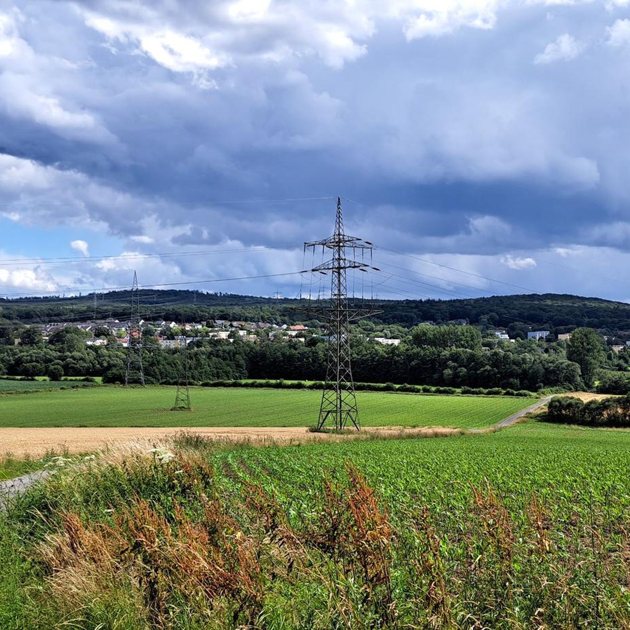
From Arnsberg-Menden airfield on the ridge between Voßwinkel and Echthausen on the other side of the Ruhr, the boundary of the Arnsberg urban area now runs northwards down into the Ruhr valley, following the Ruhr in a large arc along the meadows and then, below the chapel, roughly following the motorway towards Neheim. At the level of the sewage treatment plant, the city boundary rises to our left in Brückensiepen, jumps over the country road into the Höinger Bach and ends in the Möhne valley near Moosfelde. The boundary of the Arnsberg urban area, from the Ruhr valley to the Arnsberg Forest, also corresponds in its course to the former district boundary of Arnsberg before the municipal reorganization in 1975. However, the district boundary did not run between Echthausen and Voßwinkel, but followed the loop of the Ruhr past Haus Füchten to Wickede.
0
0


Nice view, good place to take a break
1
0

Free parking at the Himmelpforten monastery ruins
0
0

komootモバイルアプリでインスピレーションを得よう


さらに探索
他の地域の最高のハイキングを見てみましょう。
