エンゲルスブランドのおすすめライド
4.5
(645)
8,558
ライダー
209
ライド
エンゲルスブランド周辺でのロードバイクライドをお考えですか?komootはエンゲルスブランド周辺のあらゆるロードバイクライドを評価し、人気ルートを厳選しました。エンゲルスブランド周辺の各ロードバイクルートの詳細をご覧になり、自分に合ったルートを見つけてください。
最終更新日: 10月 15, 2026
4.7
(29)
547
ライダー
115km
04:58
910m
910m
難しいロードライド. 標準以上のフィットネスレベルが必要です。 全般的に舗装状態が良好で走行しやすい道です。
4.6
(87)
404
ライダー
52.2km
02:35
740m
740m
中程度のロードライド. ある程度のフィットネスレベルが必要です。 ツアーの一部に、未舗装のため走行が難しい箇所があるかもしれません。

4.8
(10)
127
ライダー
125km
05:46
1,240m
1,240m
難しいロードライド. 標準以上のフィットネスレベルが必要です。 全般的に舗装状態が良好で走行しやすい道です。
5.0
(2)
43
ライダー
47.7km
02:25
780m
780m
中程度のロードライド. ある程度のフィットネスレベルが必要です。 全般的に舗装状態が良好で走行しやすい道です。
17
ライダー
65.1km
03:06
730m
730m
中程度のロードライド. ある程度のフィットネスレベルが必要です。 ツアーの一部に、未舗装のため走行が難しい箇所があるかもしれません。
さらに多くのルートや他のユーザーのおすすめ情報を確認できます。
すでにアカウントをお持ちですか?
おすすめのツアーは他のkomootユーザーが実際に経験した何千ものアクティビティに基づいています。
無料アカウントで今日から始めよう
次の冒険が待っています。
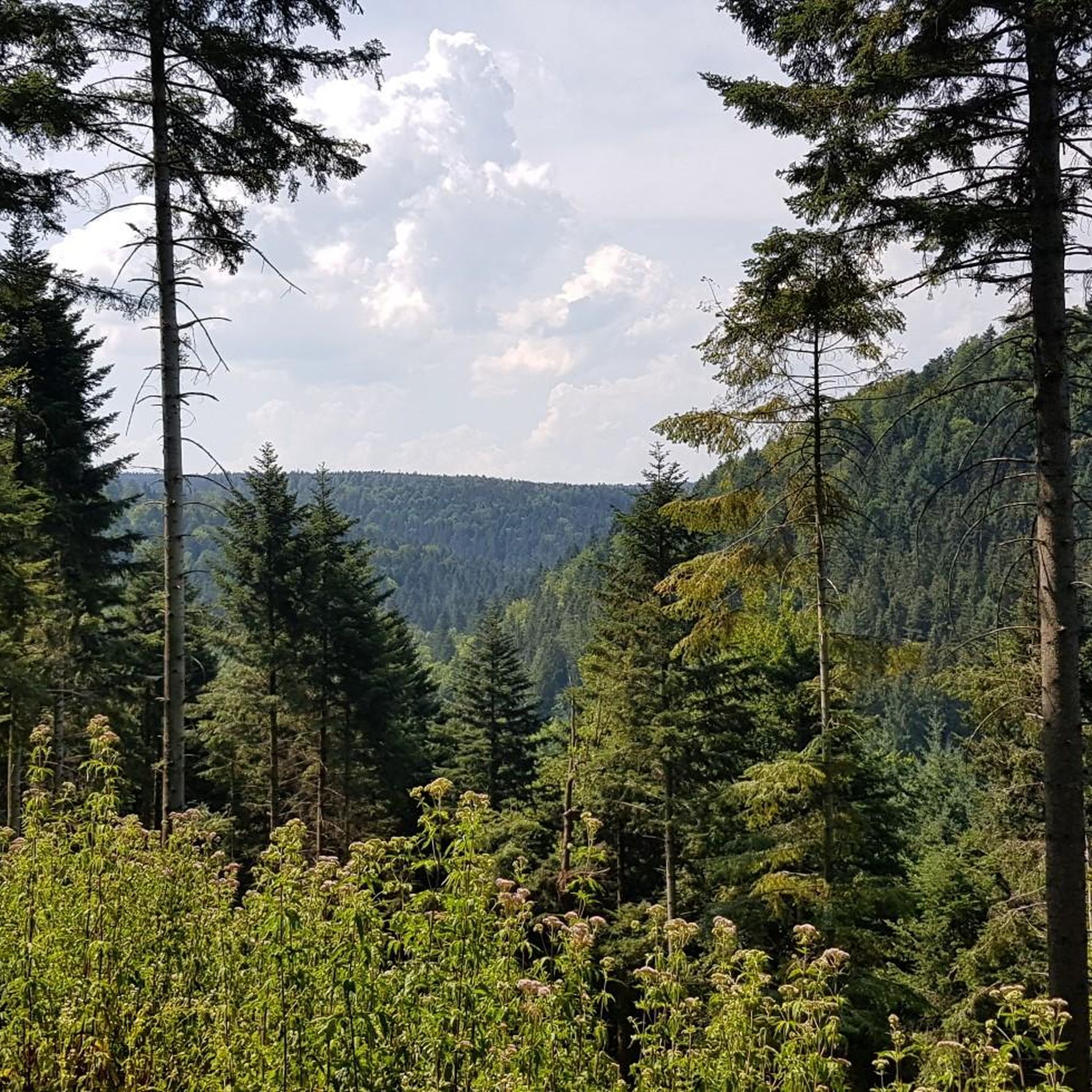
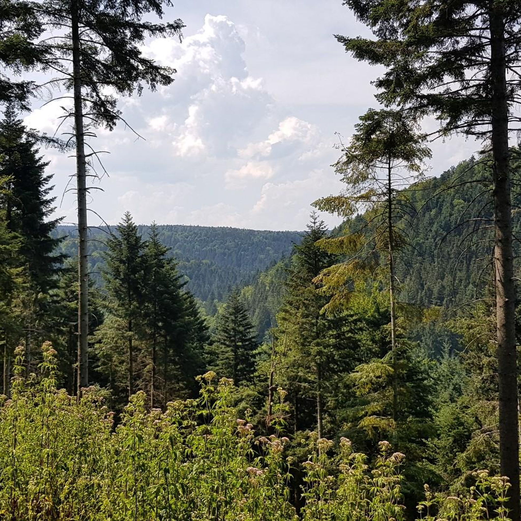

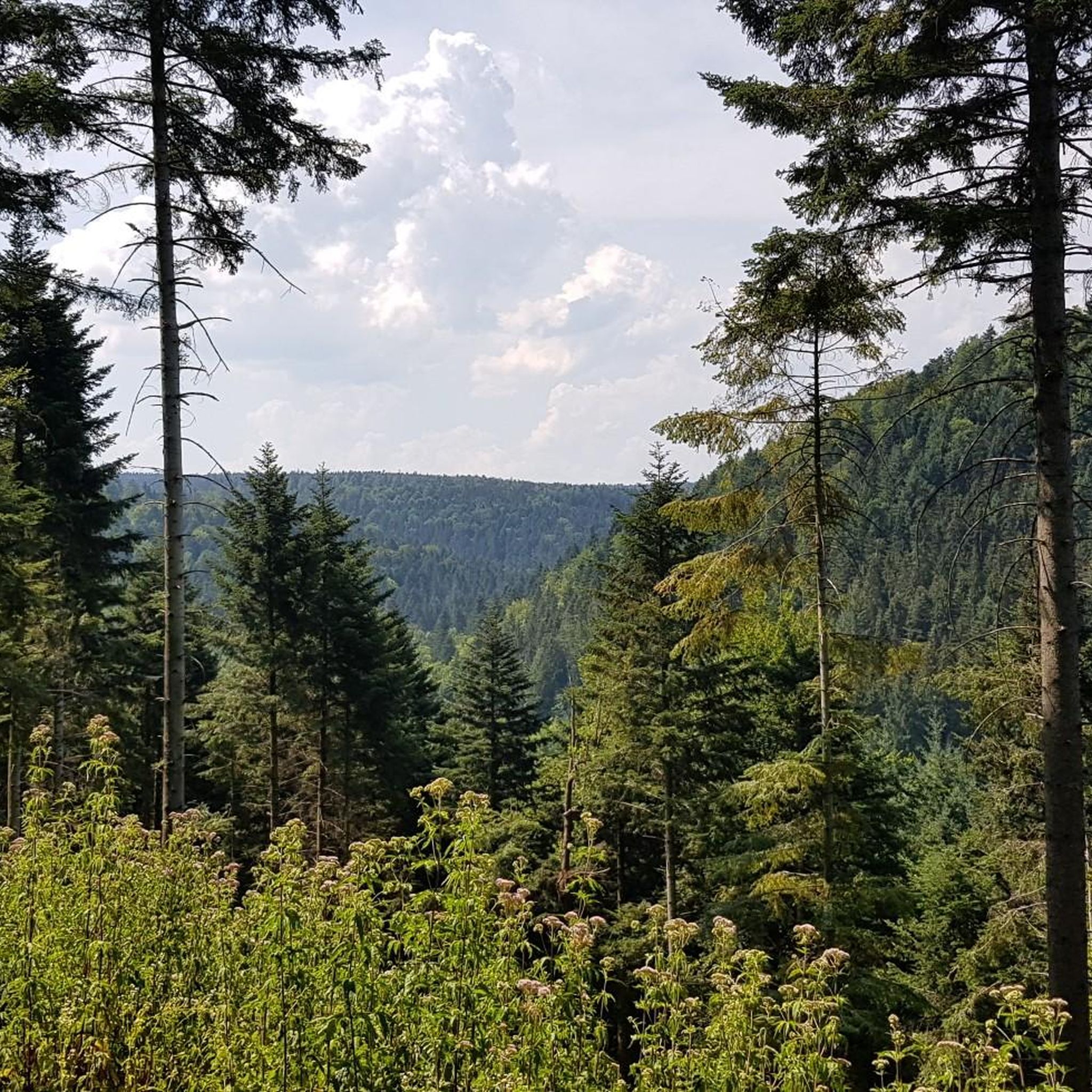
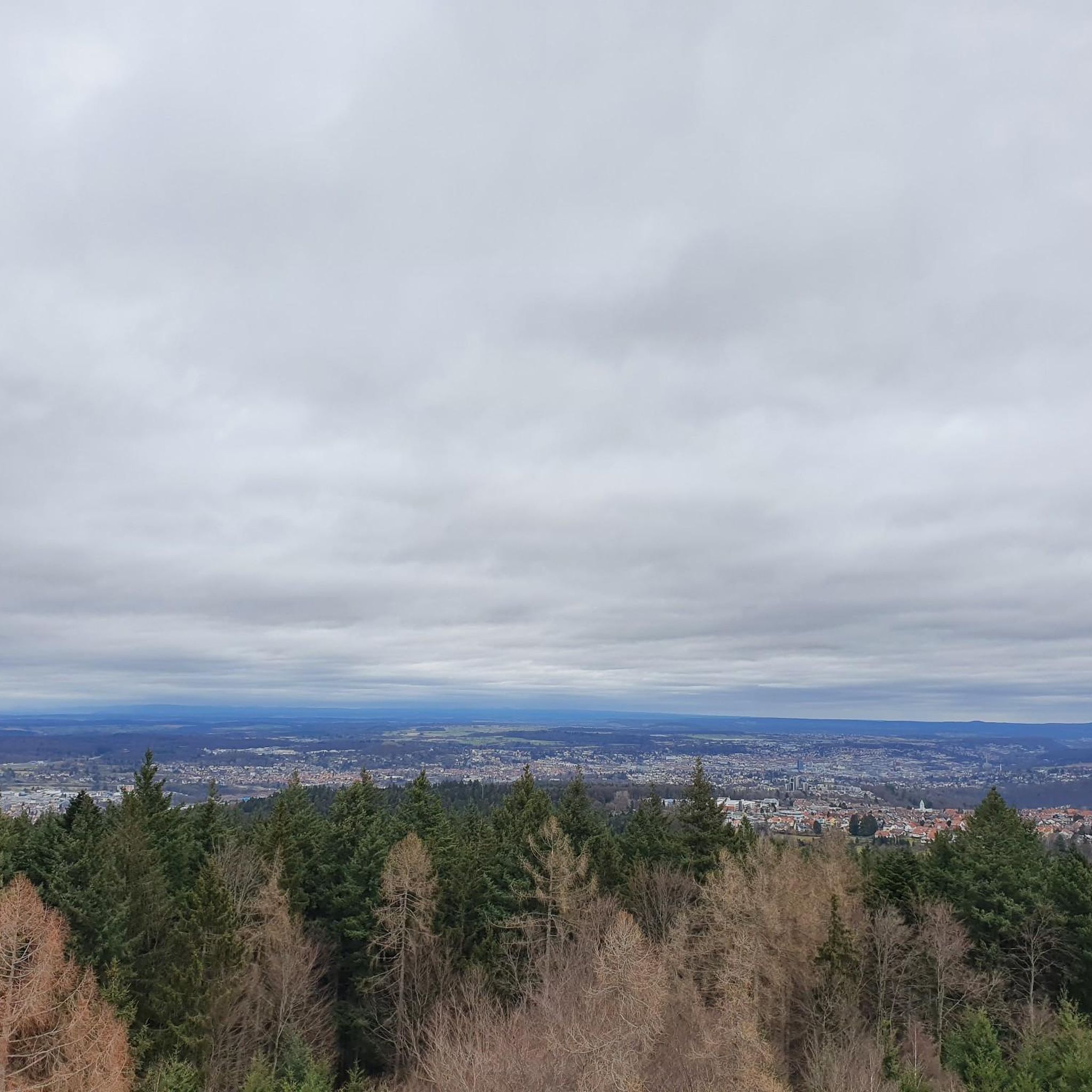
コミュニティからのヒント

Nagoldtalradwegの最も美しい区間は、Pfrondorfer Mühleを過ぎてPforzheimまでです。全区間舗装されており、いつでも足を水に浸すことができます。特にMonbachtalでは、数多くの飲食店が立ち寄りを誘っています。営業時間外に到着した場合でも、自動販売機が24時間利用可能です。また、Monbachschluchtの渓谷に分け入るハイカーたちにとっても人気の出発点です。さらに、ここではGodi Golfをプレイすることもできます。
6
0
修道院のすぐ隣には、かつての製粉所を通り過ぎるサイクリングロードがあります。 ここでは、1898年製の古い水車を間近で見ることができます。直径は5.20m、羽根は36枚あります。羽根の幅は2.30mです。水車の前には2つの休憩ベンチがあります。
6
0

2026年から石畳の区間が設けられました。現代のコンクリート舗装ではなく、本当にひどい石畳です。なぜこんなことをするのでしょうか?ロードバイクではギリギリです。幸い短い区間でした。
0
0

代わりに連邦道路を走る理由は実質的にありません。ここでは静かに過ごせ、追い越しのできないカーブでのストレスを避け、古い駅の近くのコブを越えるよりも数メートルの高さを節約できます。交通量のない夜でも、こちらを走る方が好きです。 2026年8月更新:古い公共事業所のあたりで、かつて良好だったアスファルトが、地下工事の後、約100メートルにわたって削られた石畳に置き換えられました。なぜ?誰も知りません。グラベルバイクでも今はイライラしますが、連邦道路も残念ながらÖlanderleではイライラします。
0
0

The Lengenbach, a tributary of the Nagold River, is dammed to create the Stadtsee (City Lake). A footpath encircles the lake, measuring just 300 meters. The walk is worthwhile, as the path offers a variety of scenic views. An information panel on the lake's shore explains that the Stadtsee was originally a reservoir for powering the waterwheel of the former Lower Mill. It also served as a trout pond, providing sustenance for the local fish. It remains unclear whether the dam was commissioned by Hirsau Abbey or by the local lords of the castle. Since 2013, a sandstone statue has stood on the lake's shore. It depicts the legendary giant "Erkinger," who once ruled Liebenzell Castle. As of 2021, the mill site located between the Stadtsee and St. Blasius Church awaits development. In this context, the Lengenbach stream is to flow above ground again from the city lake to the Nagold river. Housing and public parking are planned for the area.
1
0

A great road in itself. A bike path runs alongside it. Unfortunately, the road runs straight ahead, while the bike path zigzags 90° to 90° every 500 meters, and some of the tight curves are also covered in slippery gravel. The result: slow down to walking pace every 500 meters. So it's no wonder cyclists swerve onto the road where they can let it go.
1
0

The town lake in Bad Liebenzell is located on the orographic left slope of the Nagold Valley, approximately 200 meters west of the Nagold River. The Lengenbach, a tributary of the Nagold River, is dammed in the town lake by a small dam. A footpath can be used to circumnavigate the town lake. The circular path is just about 300 meters long. Walking around the small lake is worthwhile, as new views continually open up along the way.
3
0

komootモバイルアプリでインスピレーションを得よう


さらに探索
他の地域の最高のロードサイクリングルートを見てみましょう。
