アイヒシュテッテンのおすすめウォーキング&ハイキングルート
4.6
(1407)
5,914
ハイカー
86
ハイキング
アイヒシュテッテン 周辺でおすすめのハイキングやウォーキングを楽しんでいただけるように、このエリアの小径やルートを集めたkomootコレクション全体を見直しました。 以下で各ルートの詳細をご覧になり、アイヒシュテッテン周辺の大自然を満喫する際の参考にしてください。
最終更新日: 11月 1, 2026
4.6
(72)
290
ハイカー
12.3km
03:38
370m
370m
中程度のハイキング. ある程度のフィットネスレベルが必要です。 歩きやすい道です。
4.7
(33)
103
ハイカー
5.74km
01:52
260m
260m
中程度のハイキング. ほとんどが歩ける道です。足元への注意が必要です。

4.8
(41)
135
ハイカー
3.92km
01:14
160m
160m
初級者向けハイキング. 歩きやすい道です。
5.0
(20)
60
ハイカー
6.36km
01:54
200m
200m
初級者向けハイキング. 歩きやすい道です。
4.8
(21)
72
ハイカー
21.3km
06:31
740m
740m
難しいハイキング. 標準以上のフィットネスレベルが必要です。 歩きやすい道です。
さらに多くのルートや他のユーザーのおすすめ情報を確認できます。
すでにアカウントをお持ちですか?
おすすめのツアーは他のkomootユーザーが実際に経験した何千ものアクティビティに基づいています。
無料アカウントで今日から始めよう
次の冒険が待っています。
コミュニティからのヒント

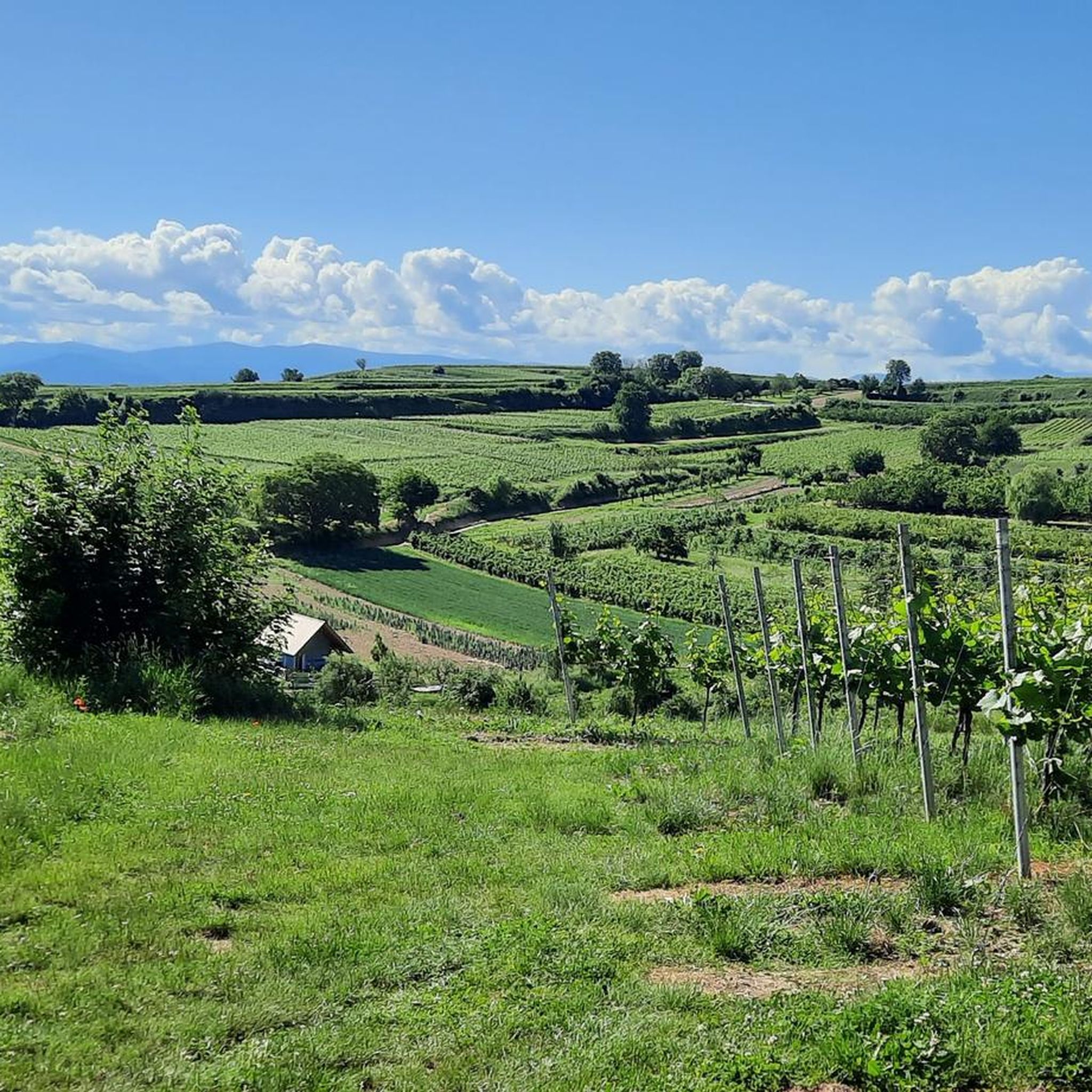
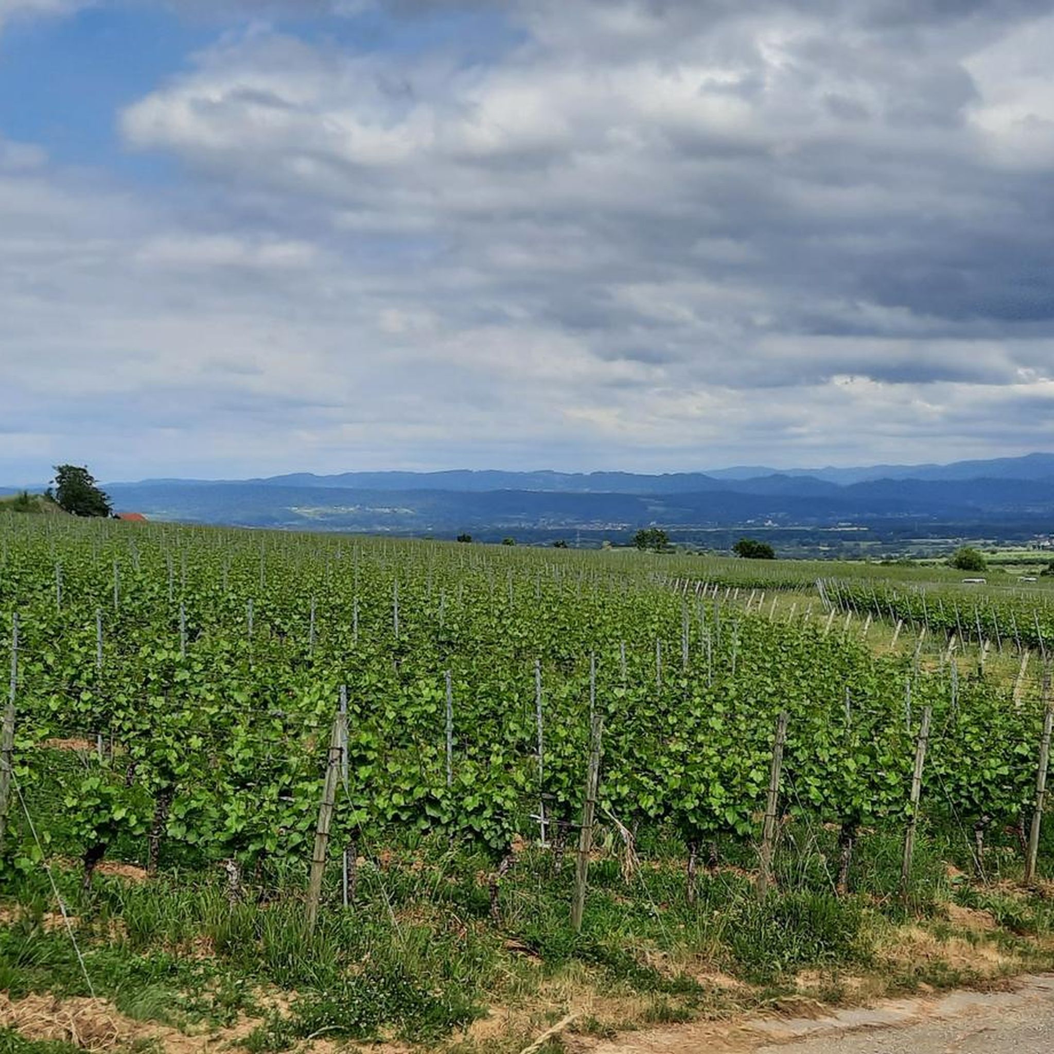
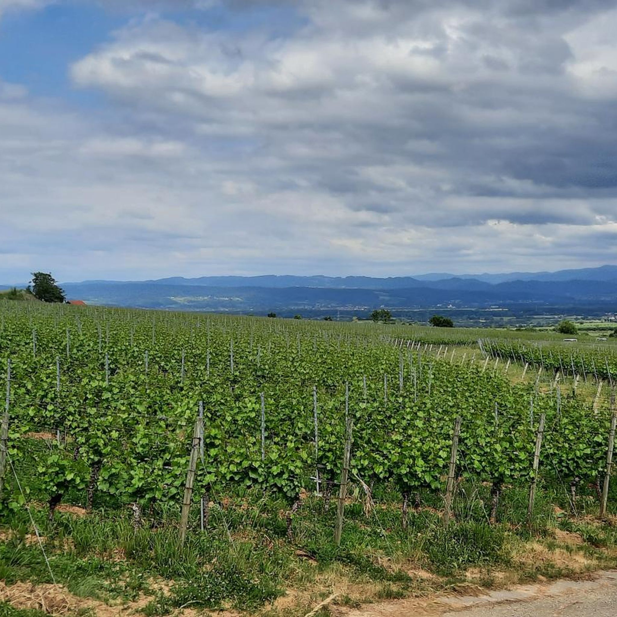
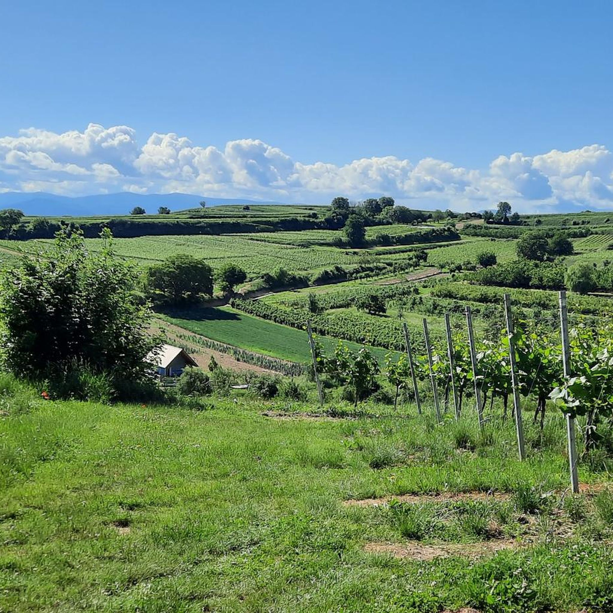
山頂とライン川の平野を見渡す素晴らしい景色が楽しめる美しい場所です。
0
0


It's absolutely beautiful here on Badberg 😍
0
0

The Eichelspitz Tower is an observation tower built in 2006 on the Eichelspitze (approx. 521 m) in the Kaiserstuhl region of Baden-Württemberg. The tower is approximately 42 m high, and the viewing platform is located at about 28 m and is accessible via roughly 130 steps. From the top, there is a wide panoramic view of the Kaiserstuhl, the Black Forest, the Vosges Mountains, and, on a clear day, as far as the Swiss Jura Mountains. A popular destination for hikers and nature lovers.
0
0

From here, there are several options for exploring the Kaiserstul: towards the Katharienenkapelle (St. Catherine's Chapel) or towards the Eichelspitzturm (Eichelspitz Tower).
0
0

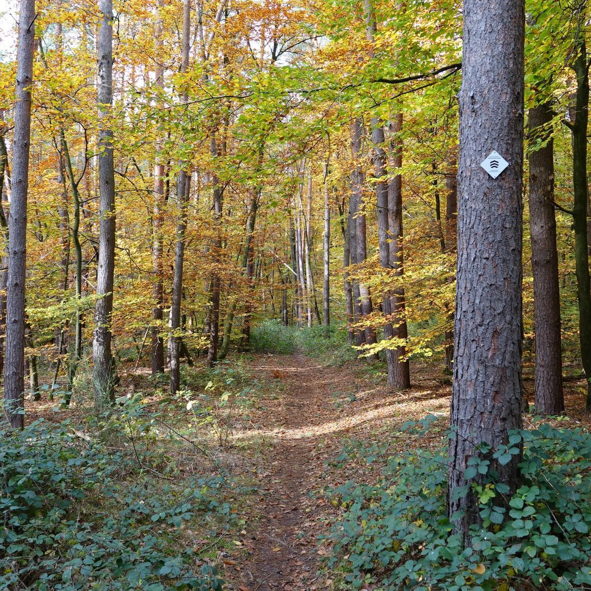
just stop and enjoy
1
0

komootモバイルアプリでインスピレーションを得よう


さらに探索
他の地域の最高のハイキングを見てみましょう。
