アイヒェナウのおすすめウォーキング&ハイキングルート
4.6
(138)
830
ハイカー
47
ハイキング
アイヒェナウ周辺でのハイキングは、景色を満喫するのに最適な手段のひとつですが、適切なハイキングルートを見つけることは簡単ではありません。 アイヒェナウ周辺の人気ハイキング&ウォーキングコースを参考にすれば、行きたいルートをすぐに見つけられます。
最終更新日: 10月 15, 2026
4.7
(63)
211
ハイカー
9.13km
02:23
60m
60m
中程度のハイキング. ある程度のフィットネスレベルが必要です。 進みやすいルートです。あらゆるスキルレベルに適しています。
4.8
(19)
122
ハイカー
8.03km
02:04
40m
40m
中程度のハイキング. ある程度のフィットネスレベルが必要です。 進みやすいルートです。あらゆるスキルレベルに適しています。

4.5
(15)
81
ハイカー
8.93km
02:20
60m
60m
中程度のハイキング. ある程度のフィットネスレベルが必要です。 進みやすいルートです。あらゆるスキルレベルに適しています。
4.9
(22)
71
ハイカー
5.67km
01:31
50m
50m
中程度のハイキング. あらゆるフィットネスレベルに適しています。 全般的に進みやすいルートです。安定して歩行できる技術が必要です。
5.0
(2)
43
ハイカー
5.38km
01:23
20m
20m
中程度のハイキング. あらゆるフィットネスレベルに適しています。 全般的に進みやすいルートです。安定して歩行できる技術が必要です。
さらに多くのルートや他のユーザーのおすすめ情報を確認できます。
すでにアカウントをお持ちですか?
おすすめのツアーは他のkomootユーザーが実際に経験した何千ものアクティビティに基づいています。
無料アカウントで今日から始めよう
次の冒険が待っています。
コミュニティからのヒント

Research stations of the Technical University of Munich. https://www.tcf.tum.de/ptc/field-crops-unit/versuchsstationen/roggenstein
0
0

The Roggenstein castle ruins are a high medieval castle ruin.
0
0
The Emmeringer Leite is a long, wooded ridge along the Amper River in the Bavarian district of Fürstenfeldbruck. It is the northern part of a terminal moraine whose rock likely dates back to the Mindel Ice Age. The ridge is approximately 4 km long, up to 1.5 km wide, and 561 m high.
2
0
The Emmeringer Leite is a long, wooded ridge along the Amper River in the Bavarian district of Fürstenfeldbruck. It is the northern part of a terminal moraine whose rock likely dates back to the Mindel Ice Age. The ridge is approximately 4 km long, up to 1.5 km wide, and 561 m high.
1
0
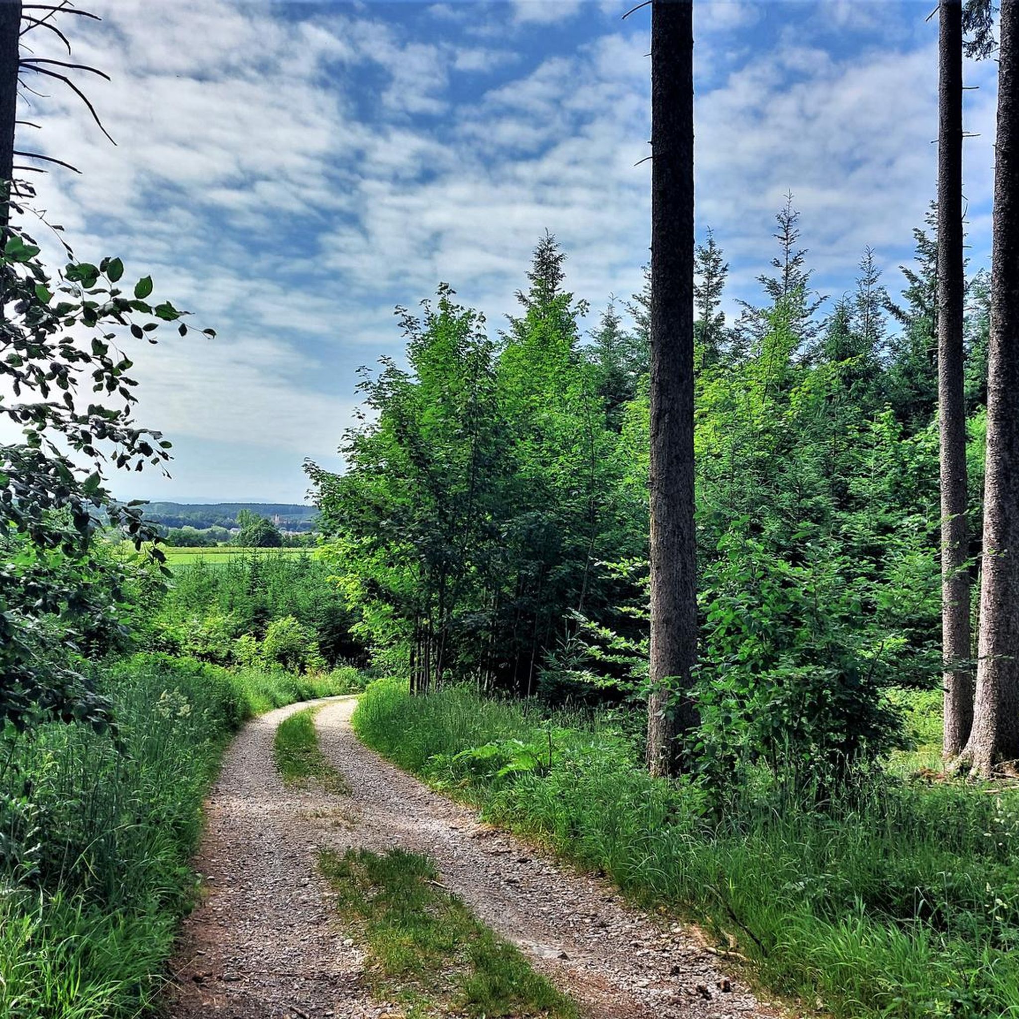
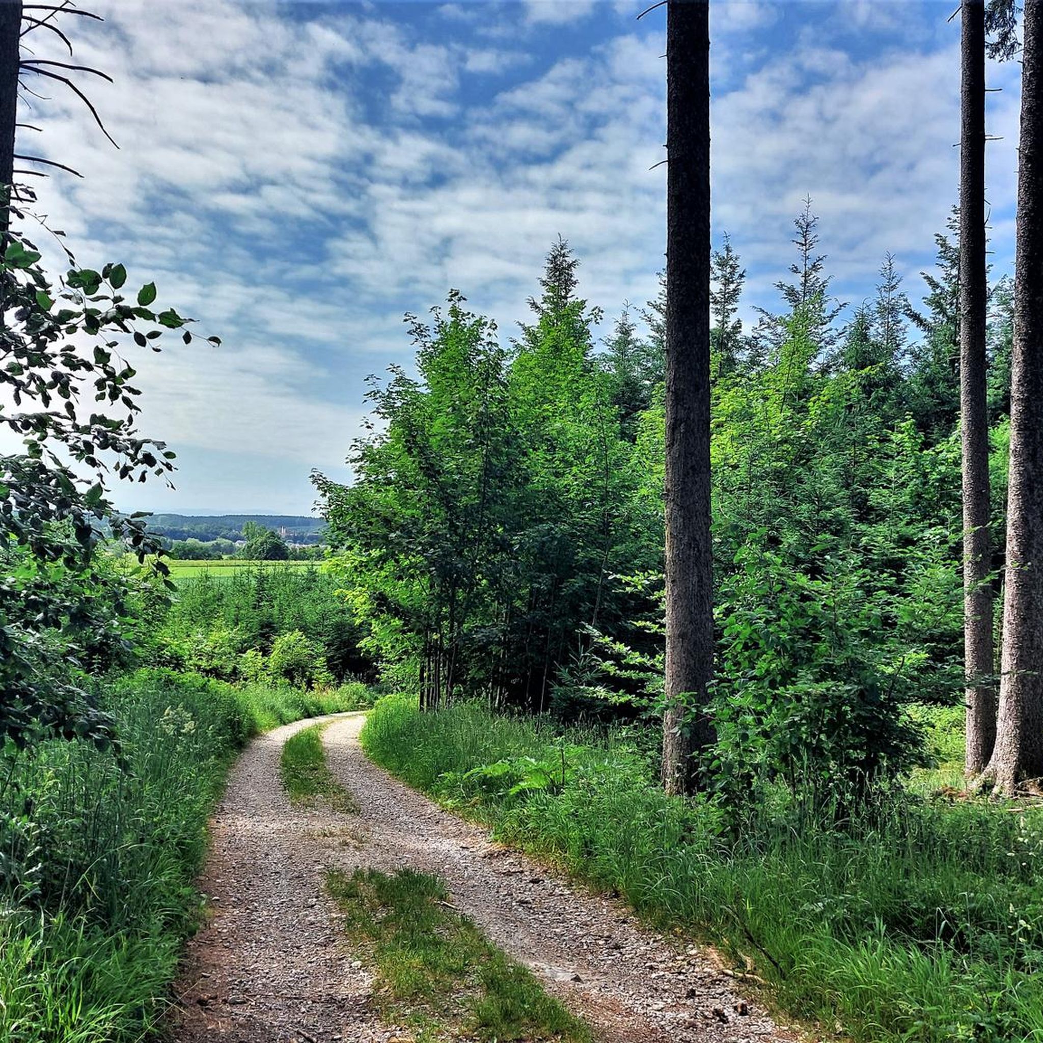
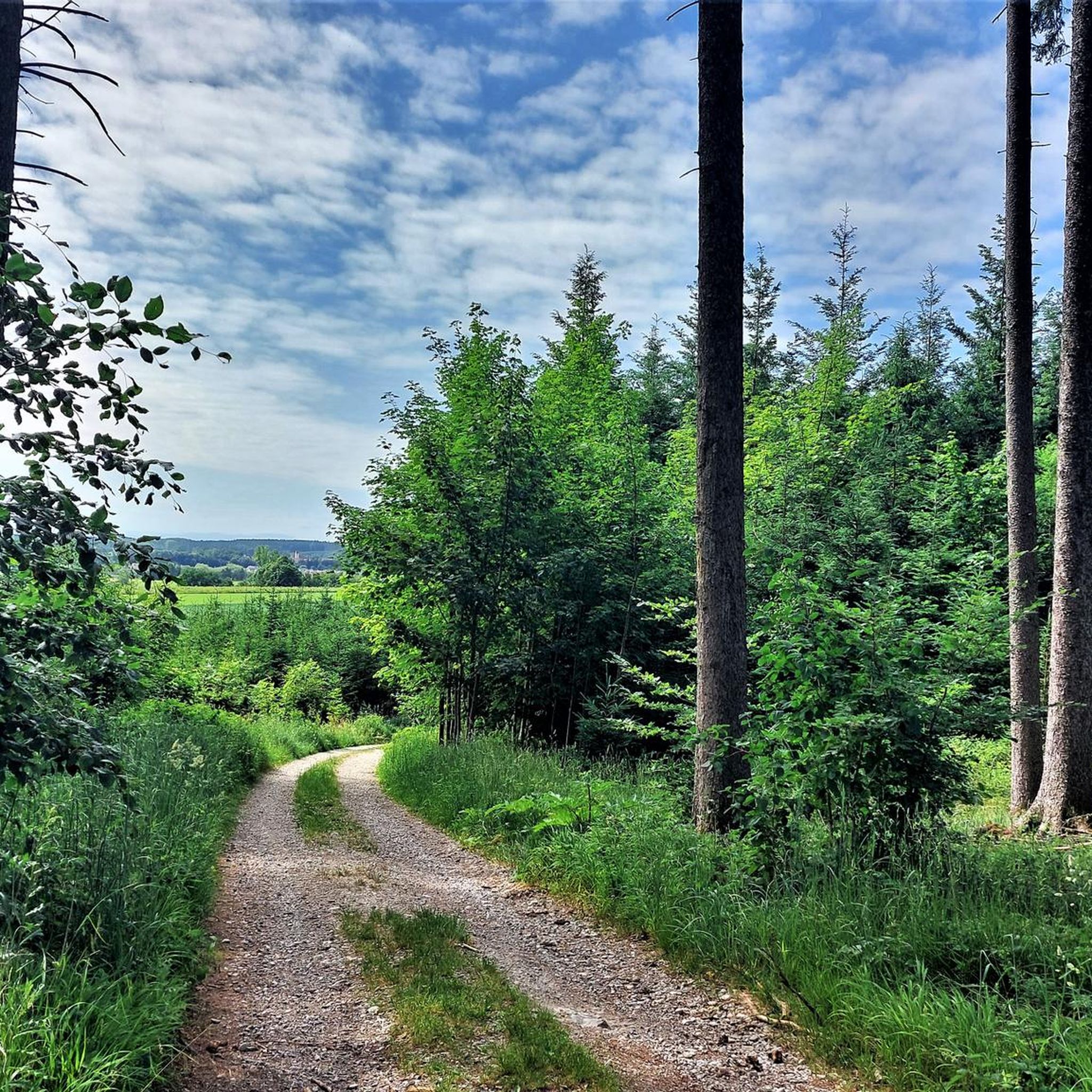
The trail leads along a wide path through the Emmeringer Leite valley. To the right, in the woods, you can see the remains of the old clay pit, hidden in the dense forest.
0
0


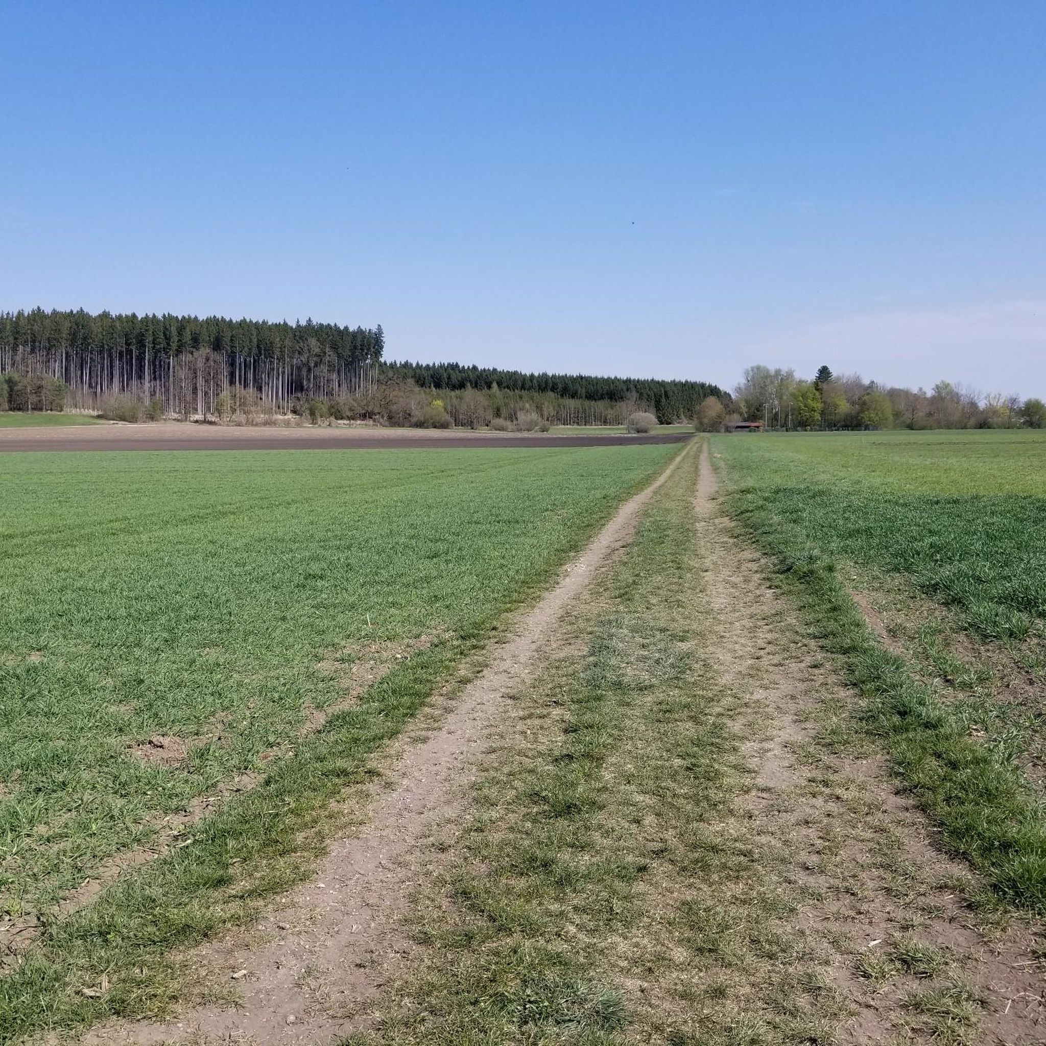
Hike along the ridge of the Emmeringer Leite to the old clay works and then on to Wagelsried. Very beautiful hike with some wide views of the fields below.
2
0
アイヒェナウでのの人気観光スポット

komootモバイルアプリでインスピレーションを得よう


さらに探索
他の地域の最高のハイキングを見てみましょう。
