エーバーマンシュタットの絶景の山頂・トップ20
絶景を目指して登るのであれ、達成感のために登るのであれ、山頂を訪れることで、エーバーマンシュタットの美しい自然をもっと満喫することができます。20
もの選択肢の中から、制覇する山頂を決めるのは簡単ではありません。スムーズに次の冒険で目指す山頂を選べるように、エーバーマンシュタットの素晴らしい山頂をこのガイドにまとめました。
最終更新日: 8月 30, 2026
ホーエス・クロイツ展望塔
ハイライト • 展望台
翻訳者 Google •
役立つ情報 は

ローデンシュタイン
ハイライト • 山頂
翻訳者 Google •
役立つ情報 は

今すぐサインアップして、こんな場所を発見しよう
最高のシングルトラック、ピーク、その他のエキサイティングなアウトドアスポットのおすすめを受け取ろう。
無料新規登録
ホーエ・ヴァルテから望むポッテンシュタインとポッテンシュタイン城
ハイライト • 展望台
翻訳者 Google •
役立つ情報 は

ヴァルベラから望むヴィーゼント渓谷
ハイライト • 展望台
翻訳者 Google •
役立つ情報 は

前峰の十字架から見るキルヒエーレンバッハの眺め
ハイライト • 展望台
翻訳者 Google •
役立つ情報 は
無料でサインアップして、さらに多くの山を発見しましょう エーバーマンシュタットでの。
無料新規登録
すでにアカウントをお持ちですか?
無料アカウントで今日から始めよう
次の冒険が待っています。
ログインまたは登録
エーバーマンシュタット周辺で人気
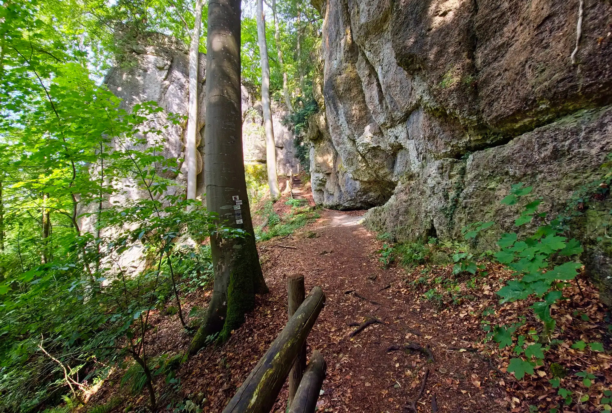
ウルトラトレイルフレンキシェシュヴァイツ – 2 日城、森林、トレイル
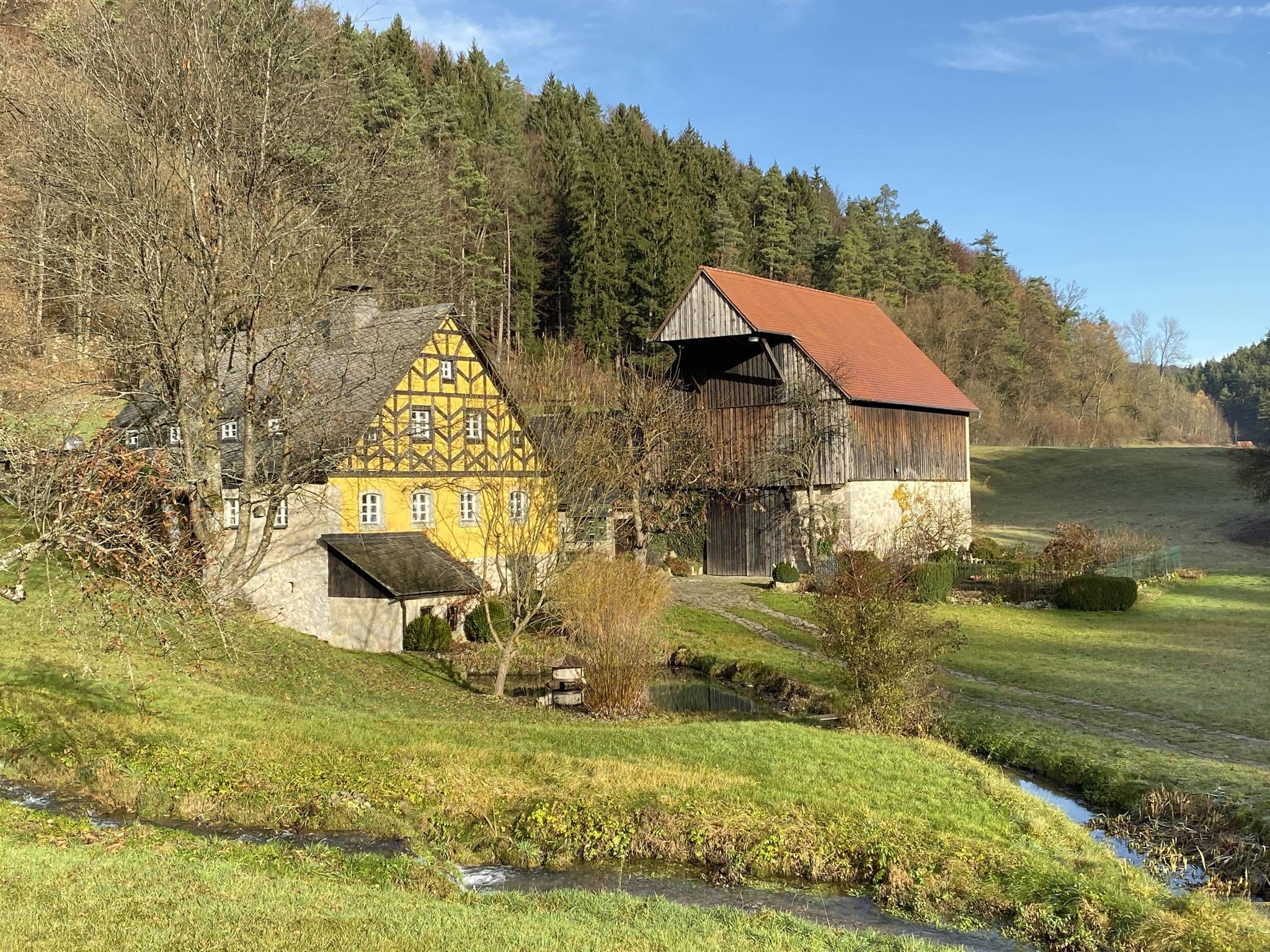
視点からセイドラへ – フレンキシェ・シュヴァイツの自然とビールの楽しみ
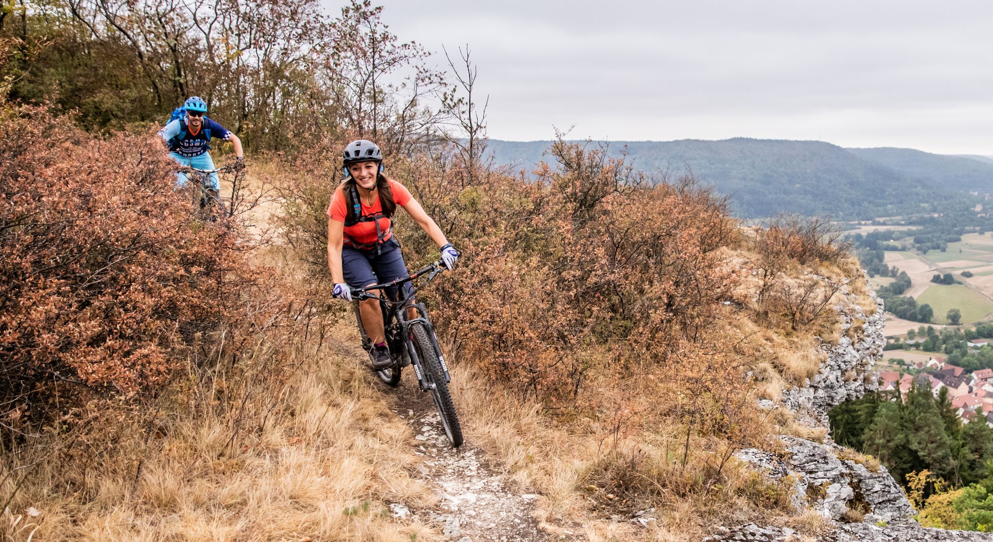
Castles, mountains, beer & trails – bikepacking in Franconian Switzerland
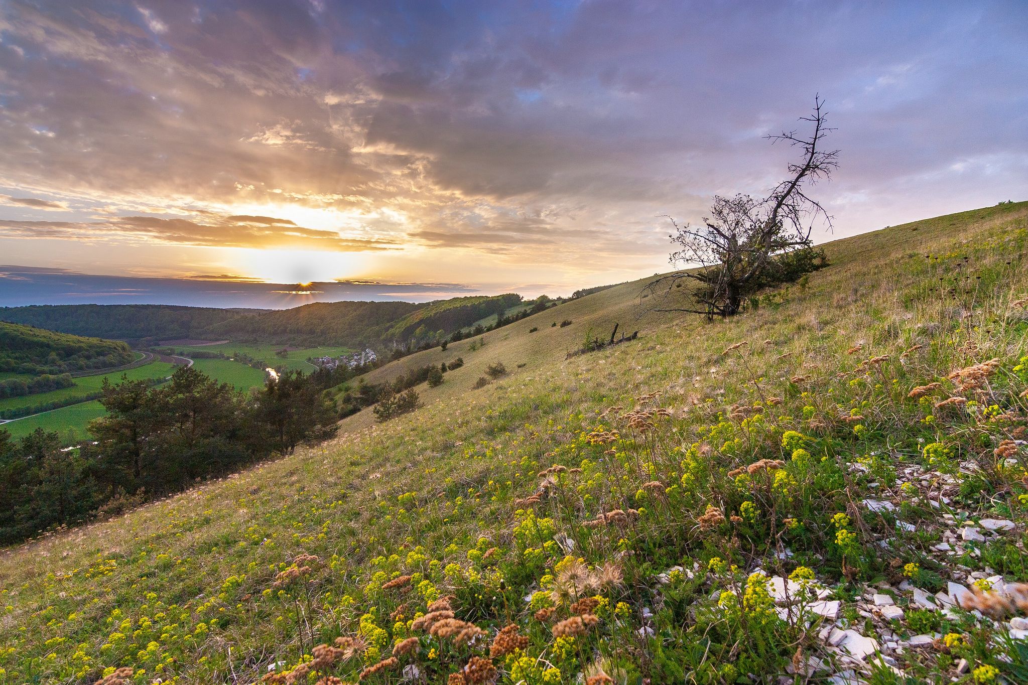
Looking for a small adventure? Your summer in the VGN
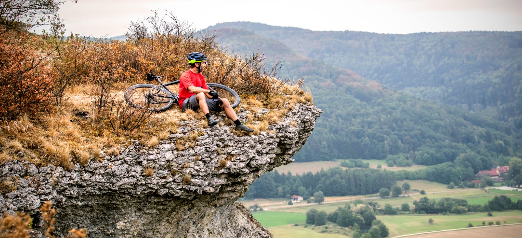
The 10 most beautiful mountain bike Tours in Franconian Switzerland
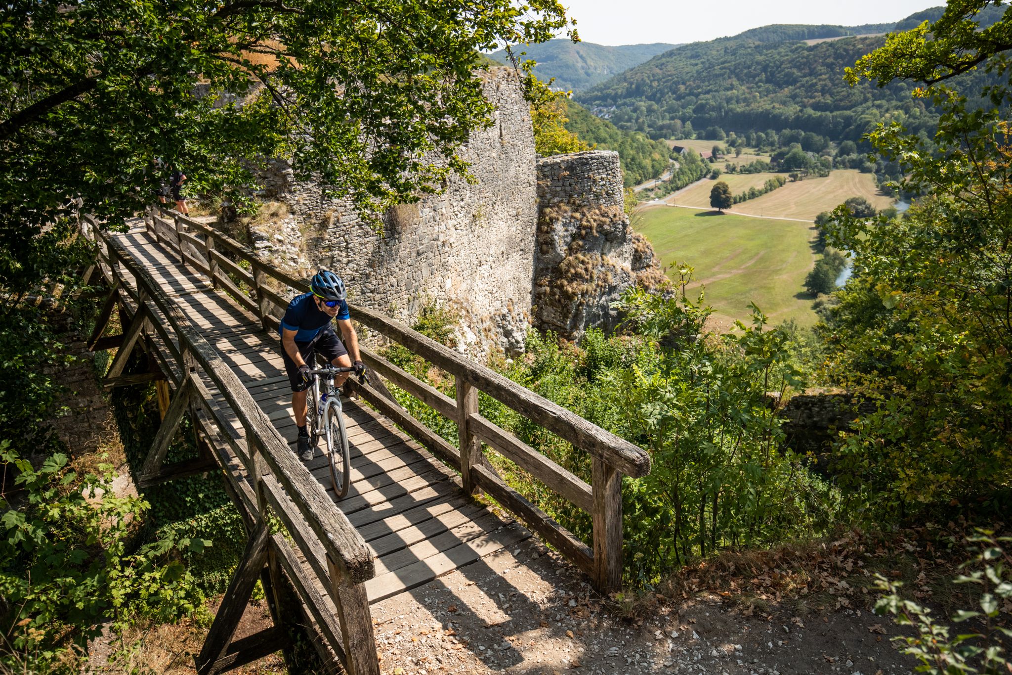
城、自転車、ビール — フランコニアスイツのマウンテンバイクの楽園
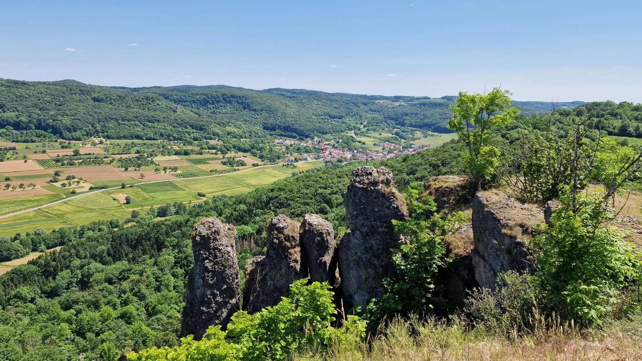
フランコニア・スワイツでの楽しいハイキング
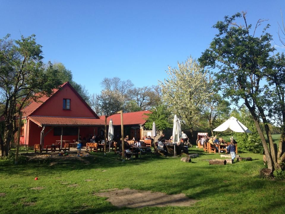
Farmer's shops — escape to the country
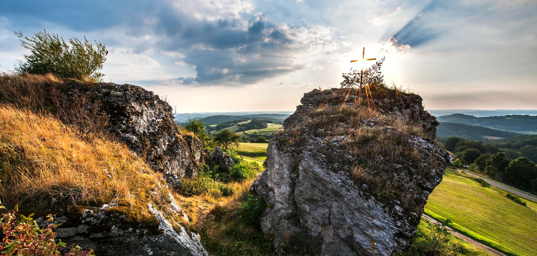
Lieblingswanderungen in der Fränkischen Schweiz
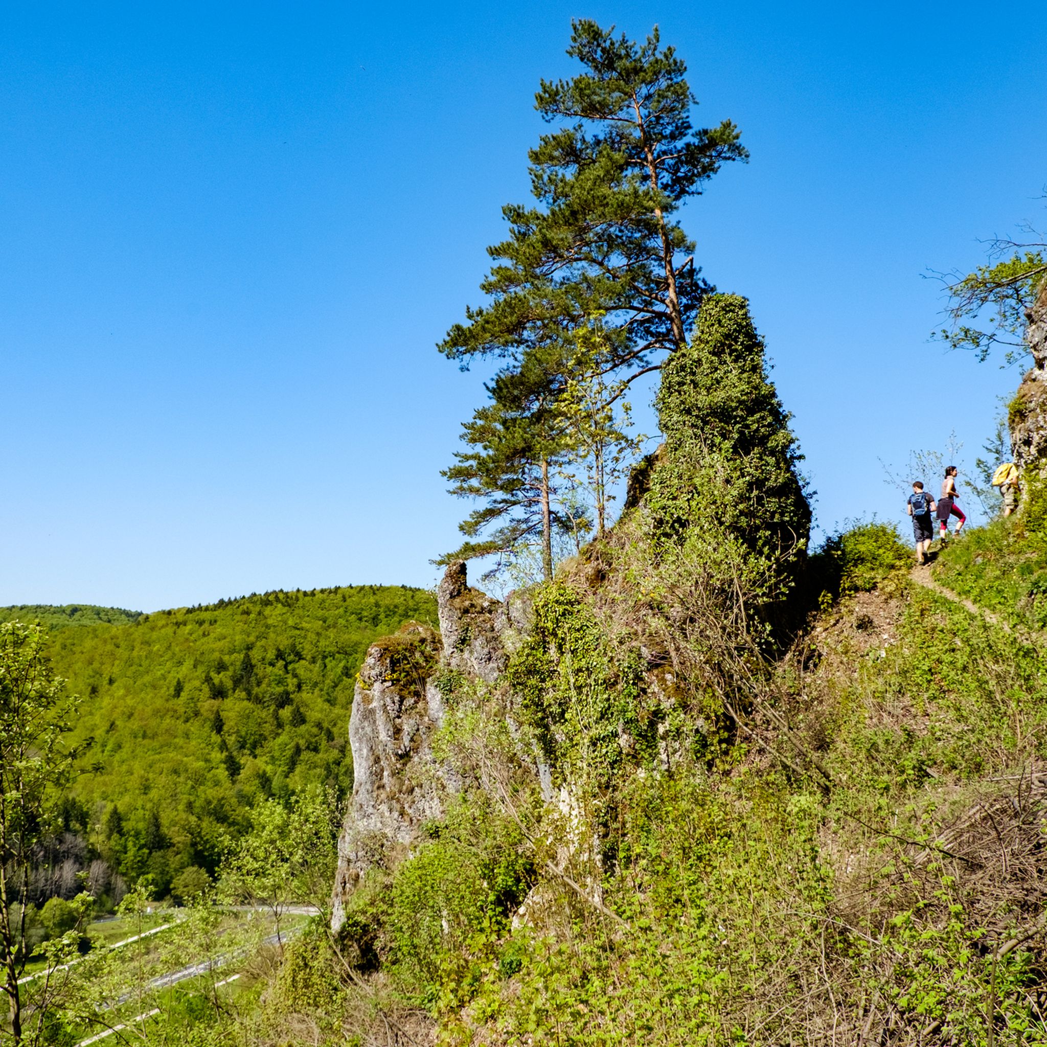
エーバーマンシュタットでのハイキング
エーバーマンシュタットでのの他の冒険


コミュニティからのヒント

At almost any time of the year you have a beautiful view of Kirchenehrenbach and the surrounding region from here
5
0

The Hohe Warte with its weather vane was created in 2003 by many volunteers. Now, after 20 years, the red and white weather vane should be given some color again.
11
0
There is a bench just below the tower. Ideal for snacks.
15
0

A great view over Pottenstein and the surrounding area reward the ascent.
10
0

From here you have the first view. Now it's not far up 🤗 catch one more breath on the bench and let's go!
6
0

At the Festival of Lights you have a great view of the whole fire.
8
0

With its new (built in 2012), 12-meter-high observation tower, the Hohe Kreuz – the highest point of the "hollow mountain" (522 + 12 m) – is now on par with the Adlerstein in height. The view extends over 270° from the Wiesent Valley with the Neideck, across the Aufseß Valley, to the Ochsenkopf in the Fichtel Mountains, and eastward into the Upper Palatinate region – on a clear day! https://www.fraenkische-schweiz.com/detail/id=5f5773735f7f9b38066ef2d9
16
0

The observation tower Hohes Kreuz on the Hohlen Berg, it is located on the hiking route between Muggendorf and Engelhardsberg, the approx. 12 meter high tower offers a good all-round view.
22
0
エーバーマンシュタットでのの人気ルート
エーバーマンシュタットでのの人気観光スポット

komootモバイルアプリでインスピレーションを得よう


さらに探索
これらのガイドでさらに素晴らしい頂上を見てみましょうエーバーマンシュタットでの:
