ルート

プランナー

機能

アップデート

App

ログインまたはサインアップ

アプリを入手

ログインまたはサインアップ

ログインまたはサインアップ

ルート
Places to see
Mountain Peaks
ドイツ
ブランデンブルク

フレーミングヒース

フレーミングヒースの絶景の山頂・トップ20


絶景を目指して登るのであれ、達成感のために登るのであれ、山頂を訪れることで、フレーミングヒースの美しい自然をもっと満喫することができます。20
もの選択肢の中から、制覇する山頂を決めるのは簡単ではありません。スムーズに次の冒険で目指す山頂を選べるように、フレーミングヒースの素晴らしい山頂をこのガイドにまとめました。

最終更新日: 5月 11, 2026

ハーゲルベルク

ハイライト • 山頂

Allegedly the highest mountain in Brandenburg until 2000, now there is another one with 50 centimeters more. Here in 1813 the so-called piston battle raged between the French and the Prussians. The Prussians could win. In April, many daffodils bloom on the flat hilltop. The "climb" is no problem!

翻訳者 Google •

役立つ情報

によるものです

ここでのハイキングを見る

スマートフォンに送信

保存

レーヴェンドルファー山展望塔

ハイライト • 展望台

On top of the sandy summit of the Löwendorfer Berg stands a 22 meter high, wooden lookout tower. As you climb up the wooden steps, a fantastic view of the surrounding landscape awaits you at the top of the platform.

翻訳者 Google •

役立つ情報

によるものです

保存

今すぐサインアップして、こんな場所を発見しよう

最高のシングルトラック、ピーク、その他のエキサイティングなアウトドアスポットのおすすめを受け取ろう。

無料新規登録

ヴィートキーケンベルク展望塔

ハイライト • 展望台

At a height of almost 125 meters you have an excellent panoramic view of the landscape.

翻訳者 Google •

役立つ情報

によるものです

保存

ゲッツァー山展望塔

ハイライト • 展望台

Beautiful view and always worth a visit. Great sunset ....

翻訳者 Google •

役立つ情報

によるものです

保存

ギプスベルク展望塔

ハイライト • 展望台

The tower is telecommunication tower and observation tower in one. And even if you can not climb very high, you have a very wide view into the country.

翻訳者 Google •

役立つ情報

によるものです

保存

The Kapellenberg is a 79.2 meter high elevation in the Glauer Mountains and thus part of the Nuthe-Nieplitz Nature Park in the Teltow-Fläming district in Brandenburg.

The elevation was formed around 28,000 years ago at the end of the Vistula Ice Age. Between the terminal moraine of the Fläming, the Baruther glacial valley to the south and the northern Berlin glacial valley, rubble, marl and sand were deposited. This material was compressed again after a brief standstill of the glacier, resulting in a compression moraine.

Robinia, but also some lilac and elder bushes grow in the immediate vicinity of the top of the Kapellenberg. The pines, known as cripple pines, are striking, and in earlier times they were surrounded by a peasant forest. The farmers used the pines as litter and pruned the trees, which in the 21st century are sometimes presented in bizarre shapes. Around 150 years ago, there was a chapel on the summit, which gave the elevation its name. There are only a few bricks left of it in the 21st century.

Source: de.wikipedia.org/wiki/Kapellenberg_(Glauer_Berge)

翻訳者 Google •

役立つ情報

によるものです

保存

ヴァインベルク・グリーニック

ハイライト • 自然記念物

In the best weather you can even see the TV tower in Berlin.

翻訳者 Google •

役立つ情報

によるものです

保存

「Großer Brachwitz」山頂十字架

ハイライト • 山頂

The “Große Brachwitz” near Klein Marzweis has a summit cross with a summit book, but it cannot (yet) be found on any maps. And yet, with its almost 140 meters, it makes it into the top 15 highest “peaks” in Brandenburg.

翻訳者 Google •

役立つ情報

によるものです

保存

A perfect place for a break and at the same time you learn something new.
For example, what the optical telegraph line was all about, why and when it was introduced.

翻訳者 Google •

役立つ情報

によるものです

保存

カプート=ゲルトウ駅

ハイライト • 休憩所

A building that should actually be a listed building is unfortunately falling into disrepair. But at least trains still stop here.

Addendum 2025: It's nice to see that something has happened since then and the building has been renovated.

翻訳者 Google •

役立つ情報

によるものです

保存

無料でサインアップして、さらに多くの山を発見しましょう フレーミングヒースでの。

無料新規登録

すでにアカウントをお持ちですか?

無料アカウントで今日から始めよう

次の冒険が待っています。

ログインまたは登録

フレーミングヒース周辺で人気

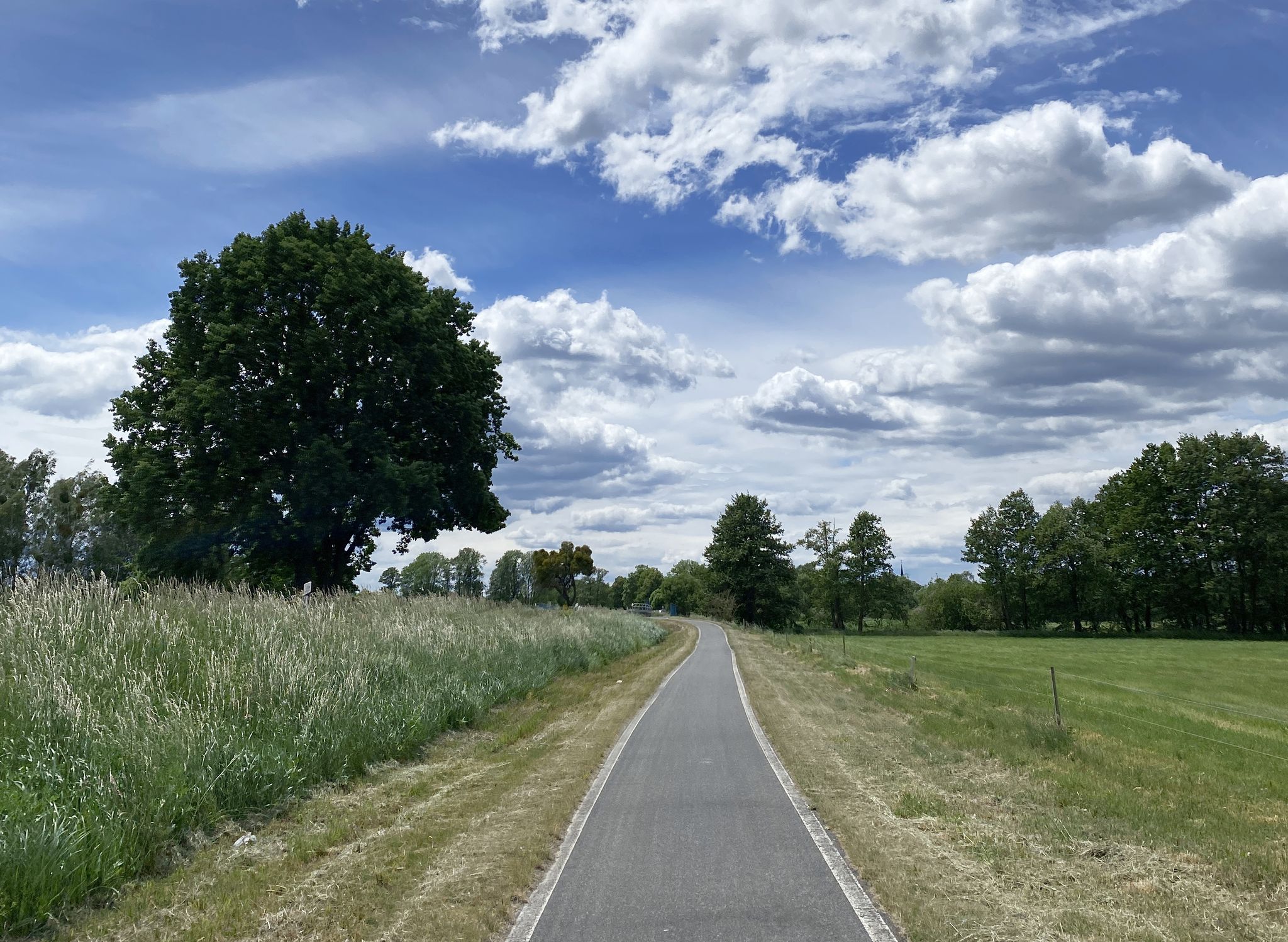
西から東へ– ベルリン・ハメルン自転車ルート
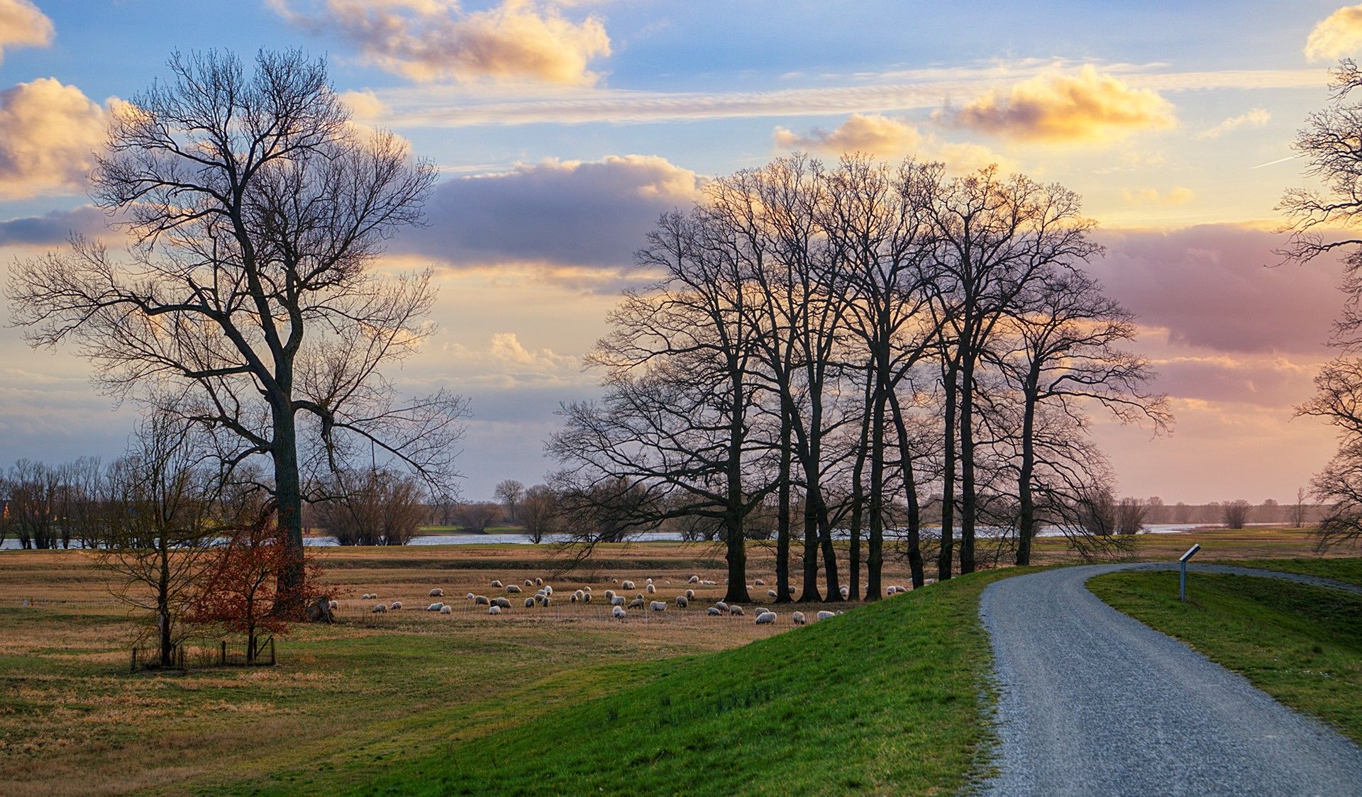
ベルリンを18エタプでサイクリングツアー – ブランデンブルクをめぐる
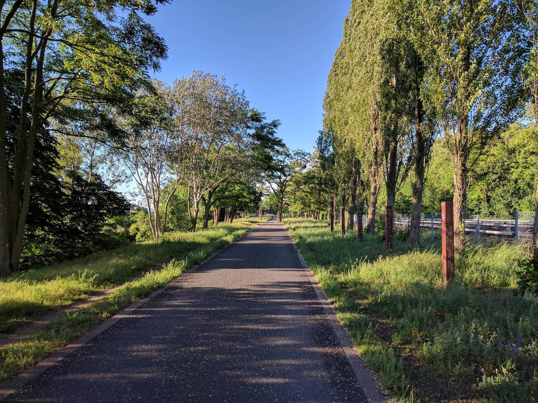
東部を5ステージで横断する - ベルリン・ライプジッヒ自転車道
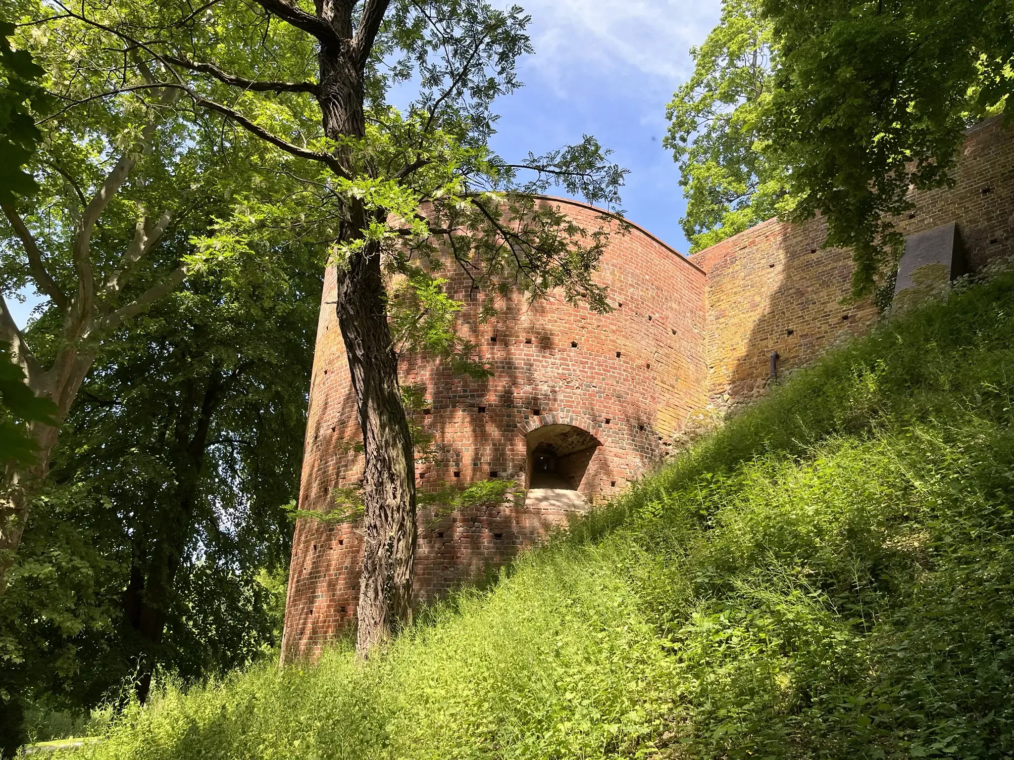
Castle Trail – through the Tuscany of Brandenburg
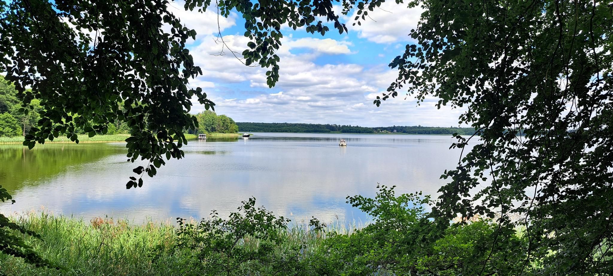
ブランデンブルクのナショナルパーク
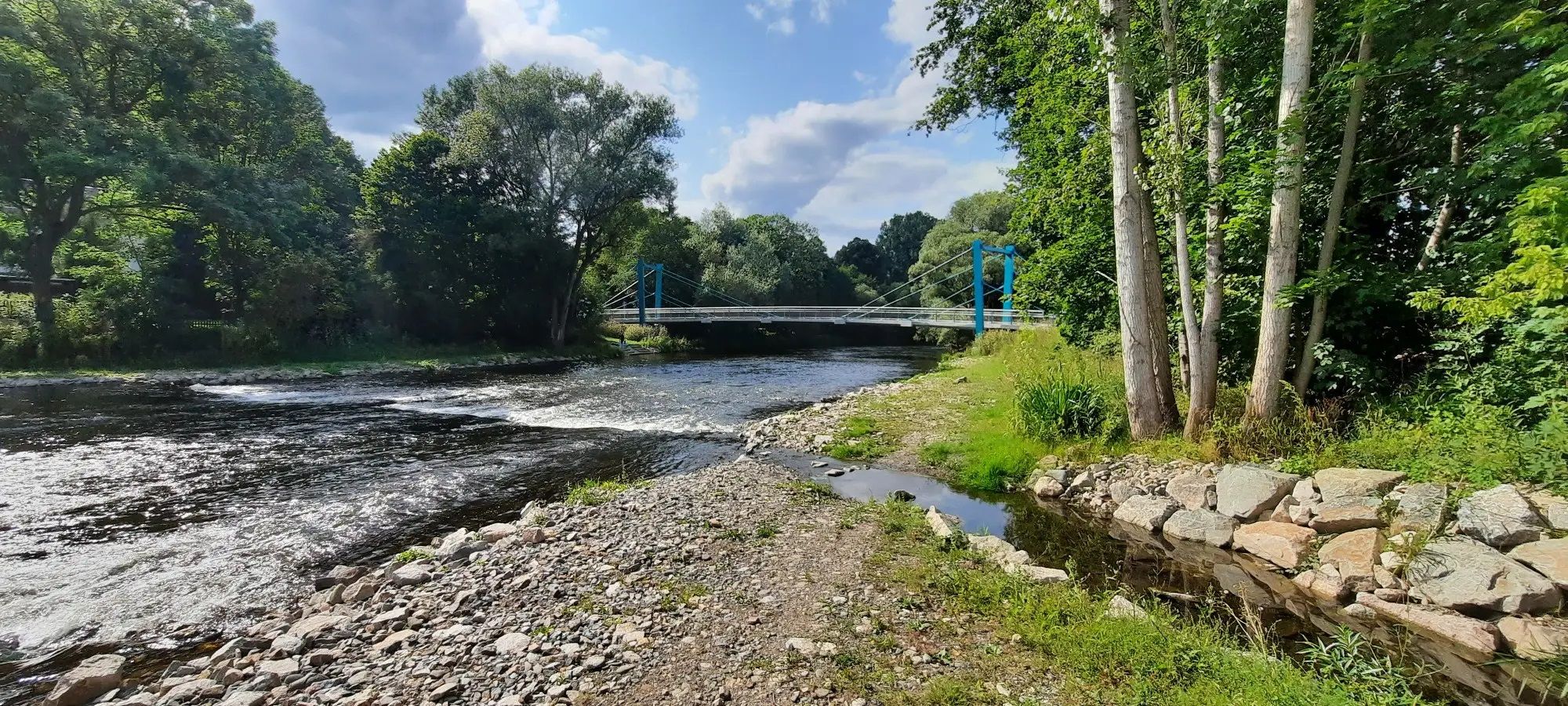
口から源まで - ドイツのダーメ自転車ルート
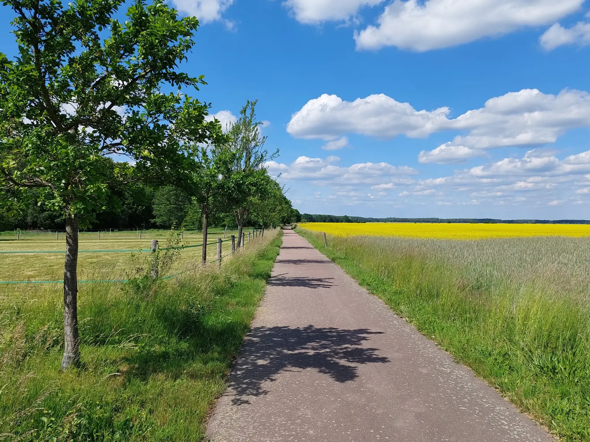
D-Route 11 – Baltic Sea - Upper Bavaria
最高のアスファルト上を滑りながら - ドイツのフラーミングスケート
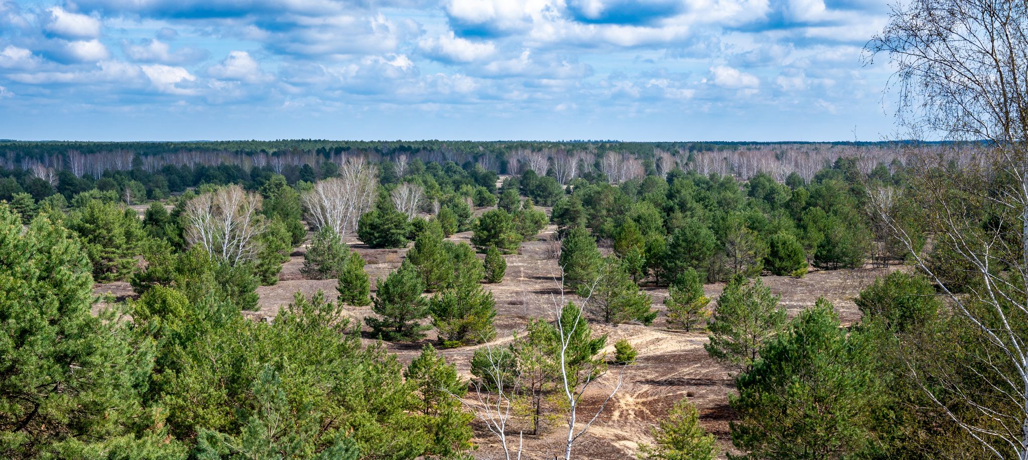
ユーテルボークの野生地帯を体験してください
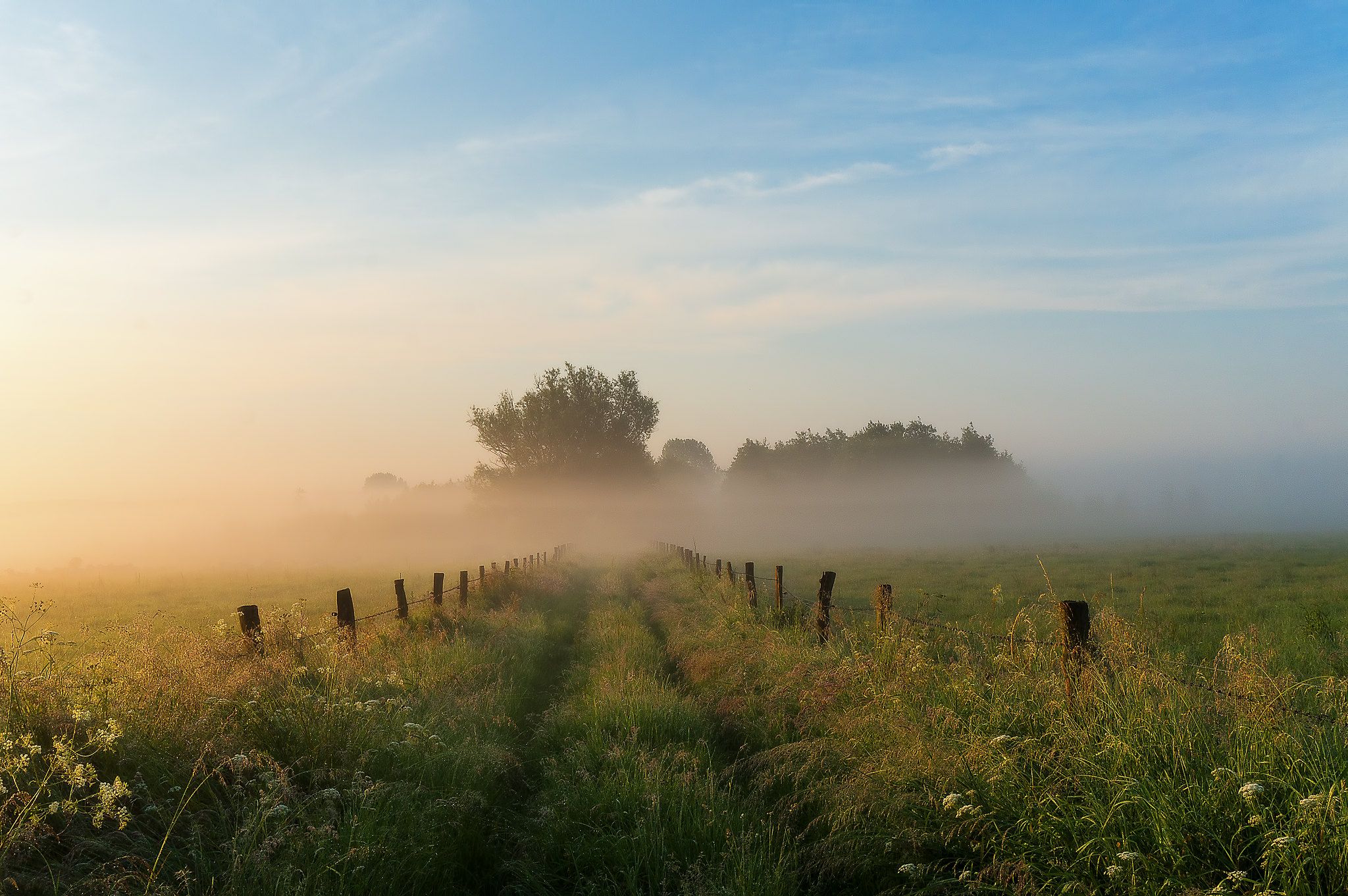
Hike Theodor Fontane’s beloved Brandenburg – S-Bahn Berlin

フレーミングヒースでのの他の冒険

西から東へ– ベルリン・ハメルン自転車ルート

サイクリングのコレクション によって

Sebastian Gliem

コミュニティからのヒント

Andre
12月 24, 2025, Weinberg Glienick

From the 84-meter-high Glienick vineyard, there are several viewpoints offering distant vistas. At the top, there is a picnic table and benches, and as of December 2025, some chairs will also be available.

Google翻訳による翻訳

0

0

The short walk to the observation tower is absolutely worthwhile.

Google翻訳による翻訳

4

0

After years without any visible progress, a successful exhibition facility was built in 2015 and 2016 in the heart of Schenkenberg on the site of the former telegraph station, a lasting landmark for the entire town. Indispensable for this were the highly dedicated instigator Wolfgang Groch and a large number of selfless volunteers who lent their hands intensively and donated substantial sums of money.

Google翻訳による翻訳

2

0

Summit cross of one of the top 15 mountains in Brandenburg (in case anyone is wondering why there is suddenly a cross with a summit book randomly placed on the side of the road...)

Google翻訳による翻訳

0

0

Not as high as Mount Etna, but still well protected from flooding.

Google翻訳による翻訳

0

0

There is even a summit book here

Google翻訳による翻訳

0

0

You can only get to the mountain on foot or by bike. Hiking routes there are signposted from Ferch. The observation tower is open around the clock.

Google翻訳による翻訳

7

0

...with summit book - very nicely done. Many thanks to the organizer!

Google翻訳による翻訳

0

0

フレーミングヒースでのの人気ルート

フレーミングヒースでのハイキング

フレーミングヒースでのの人気観光スポット

Lakes

Store rating

komootモバイルアプリでインスピレーションを得よう

無料のkomootアカウントがあれば、無限のアウトドアコースを簡単に見つけてカスタマイズし、ナビで案内できます。

または

今すぐkomootに参加しよう

Store rating

探していたものは見つかりませんでしたか?

フレーミングヒースの最高の山や頂上を地域ごとに発見しましょう:

ポツダムミッテルマルクTeltow-Fläming

さらに探索

これらのガイドでさらに素晴らしい頂上を見てみましょうフレーミングヒースでの:

探索できるほかのスポット

近くのアドベンチャーガイド

ベーリッツでやるべきこと

background

新しいピークを征服する準備をしよう

無料でサインアップ

探検する
ルートルートプランナー機能ハイキングMTBトレイルロードバイクルートバイクパッキングサイトマップ
アプリをダウンロード
SNSでフォローする

© komoot GmbH

プライバシーポリシー