デルプリングのおすすめウォーキング&ハイキングルート
4.5
(317)
1,175
ハイカー
16
ハイキング
デルプリング周辺でのハイキングは、景色を満喫するのに最適な手段のひとつですが、適切なハイキングルートを見つけることは簡単ではありません。 デルプリング周辺の人気ハイキング&ウォーキングコースを参考にすれば、行きたいルートをすぐに見つけられます。
最終更新日: 8月 25, 2026
4.9
(11)
22
ハイカー
12.3km
03:11
70m
70m
中程度のハイキング. ある程度のフィットネスレベルが必要です。 進みやすいルートです。あらゆるスキルレベルに適しています。
4.2
(9)
37
ハイカー
7.40km
01:53
30m
30m
初級者向けハイキング. あらゆるフィットネスレベルに適しています。 進みやすいルートです。あらゆるスキルレベルに適しています。

無料新規登録
5
ハイカー
3.96km
01:00
0m
0m
初級者向けハイキング. あらゆるフィットネスレベルに適しています。 進みやすいルートです。あらゆるスキルレベルに適しています。
4
ハイカー
6.55km
01:41
40m
40m
初級者向けハイキング. あらゆるフィットネスレベルに適しています。 進みやすいルートです。あらゆるスキルレベルに適しています。
4
ハイカー
4.03km
01:01
0m
0m
初級者向けハイキング. あらゆるフィットネスレベルに適しています。 進みやすいルートです。あらゆるスキルレベルに適しています。
さらに多くのルートや他のユーザーのおすすめ情報を確認できます。
無料新規登録
すでにアカウントをお持ちですか?
おすすめのツアーは他のkomootユーザーが実際に経験した何千ものアクティビティに基づいています。
無料アカウントで今日から始めよう
次の冒険が待っています。
ログインまたは登録
コミュニティからのヒント

このベンチはもうありません。現在の村の出来事に関する情報掲示板(かなり管理しやすいです🤭)
0
0

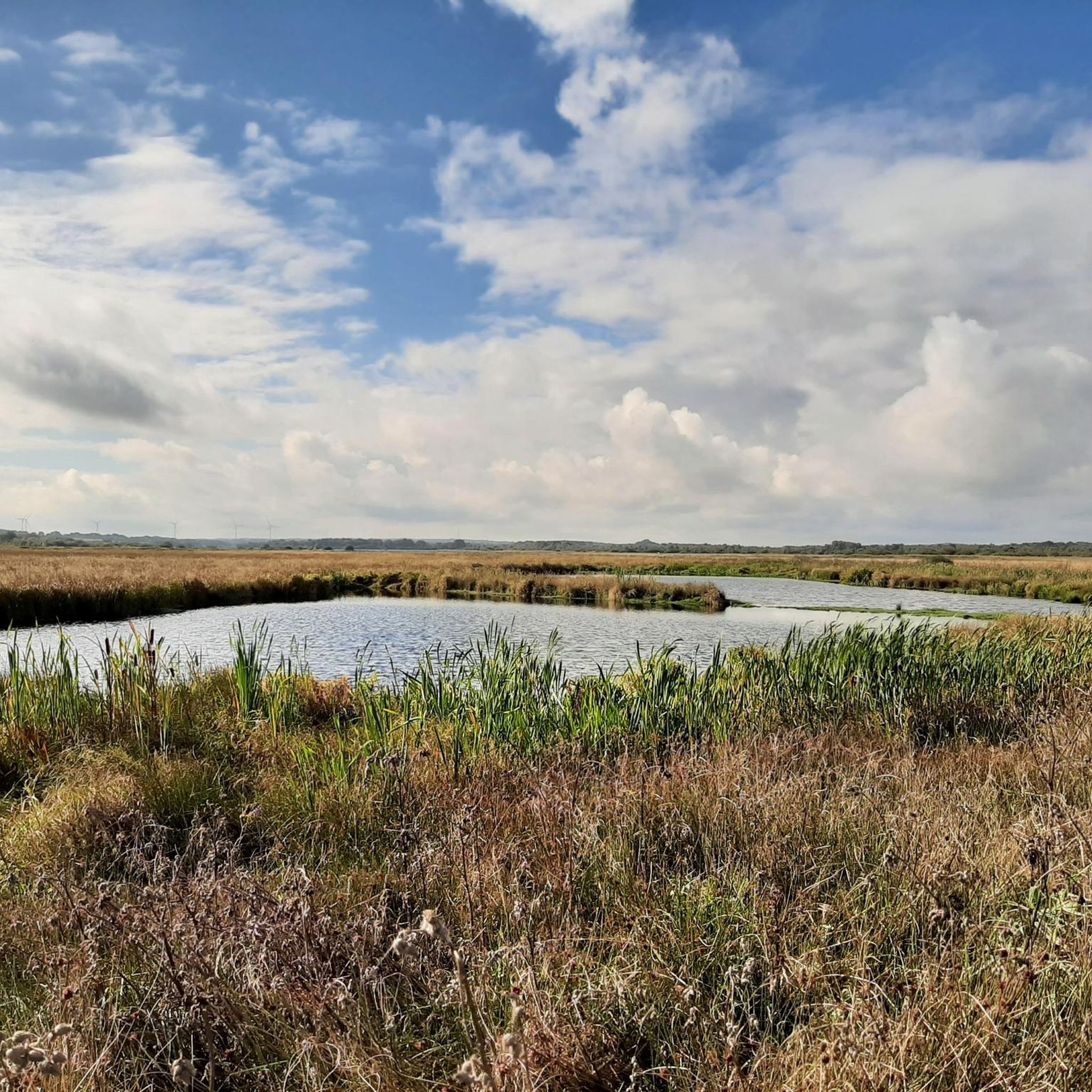
Magnificent view over the fields and the steep edge of the Dithmarschen Altmoräne, which was formed in the last ice age.
3
0

Nice bench from which you can look at the paddocks and paths.
1
0

a very well-kept place with a covered break opportunity. The unusual construction, which consists of four huge wooden poles on which a grass-covered roof rests, is modeled on a former harvest storage facility. This construction was called "Four Rod Mountains". The roof was movable in the original. Mayor Volker Lorenzen told me that if you want to spend the night here, you should first obtain the consent of the municipality of Dörpling.
0
0

During the last ice age the glacier front of the Nordic Inland ice, coming from the northeast, approximately as far as today's Rendsburg-Flensburg motorway. Dithmarschen remained ice-free. Since a glacier releases large amounts of meltwater, especially in summer, wide streams of meltwater formed that led away from the glacier into the glacial valley of the Elbe. At that time, the world sea level was around 100 meters lower than it is today. One of these meltwater streams ran in what is now the lower Eider Valley and created a steep edge through erosion on the Dithmarscher Altmoräne. Due to earth flow caused by frost changes However, in the final phase of the Ice Age this was flattened. The actual valley floor of the Ice Age meltwater valley is still around five meters below the current meadows cultivated from fens. Along the path, this striking slope is well preserved and is often interspersed with springs over impermeable clay layers, which are covered by a different type of vegetation such as Sour grasses or alders are marked. The clay mined here was used in the late 19th and early 19th centuries In the 20th century, yellow bricks were burned in up to three brickworks and shipped in large quantities across the Eider. (…from information board)
2
1

A 40 m high ridge stood in the way of the planned railway line, which could not be bypassed. So you had to dig the route through the geest. In retrospect, this led to some landslides and large snow drifts in winter, so that trains derailed again and again. Today the old railway line is a beautiful, natural ravine.
1
0

Landscape formed by meltwater during the Ice Age.
8
0
デルプリングでのの人気観光スポット

komootモバイルアプリでインスピレーションを得よう


さらに探索
他の地域の最高のハイキングを見てみましょう。
