バルルのおすすめウォーキング&ハイキングルート
4.6
(1314)
6,021
ハイカー
366
ハイキング
バルル 周辺でおすすめのハイキングやウォーキングを楽しんでいただけるように、このエリアの小径やルートを集めたkomootコレクション全体を見直しました。 以下で各ルートの詳細をご覧になり、バルル周辺の大自然を満喫する際の参考にしてください。
最終更新日: 10月 13, 2026
4.8
(47)
145
ハイカー
5.38km
01:23
20m
20m
初級者向けハイキング. あらゆるフィットネスレベルに適しています。 進みやすいルートです。あらゆるスキルレベルに適しています。
4.7
(46)
141
ハイカー
5.14km
01:19
20m
20m
初級者向けハイキング. あらゆるフィットネスレベルに適しています。 進みやすいルートです。あらゆるスキルレベルに適しています。

4.8
(13)
44
ハイカー
9.97km
02:33
40m
40m
中程度のハイキング. ある程度のフィットネスレベルが必要です。 進みやすいルートです。あらゆるスキルレベルに適しています。
4.8
(8)
17
ハイカー
10.5km
02:41
40m
40m
中程度のハイキング. ある程度のフィットネスレベルが必要です。 進みやすいルートです。あらゆるスキルレベルに適しています。
5.0
(2)
11
ハイカー
2.83km
00:44
20m
20m
初級者向けハイキング. あらゆるフィットネスレベルに適しています。 進みやすいルートです。あらゆるスキルレベルに適しています。
さらに多くのルートや他のユーザーのおすすめ情報を確認できます。
すでにアカウントをお持ちですか?
おすすめのツアーは他のkomootユーザーが実際に経験した何千ものアクティビティに基づいています。
無料アカウントで今日から始めよう
次の冒険が待っています。
コミュニティからのヒント


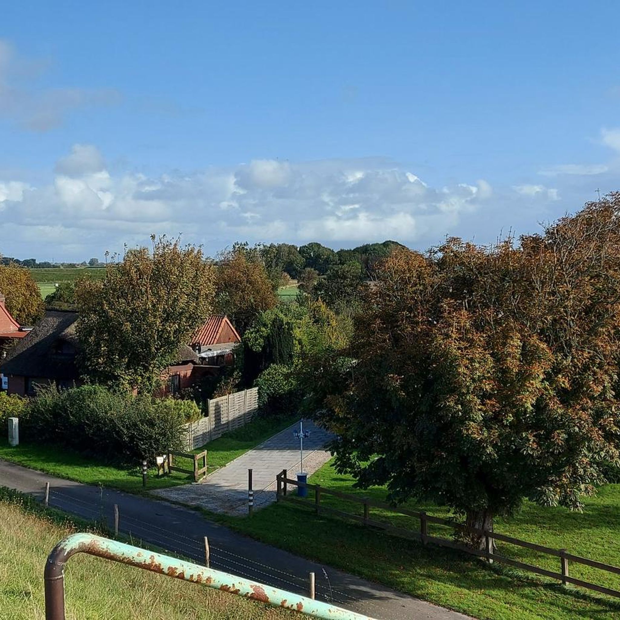
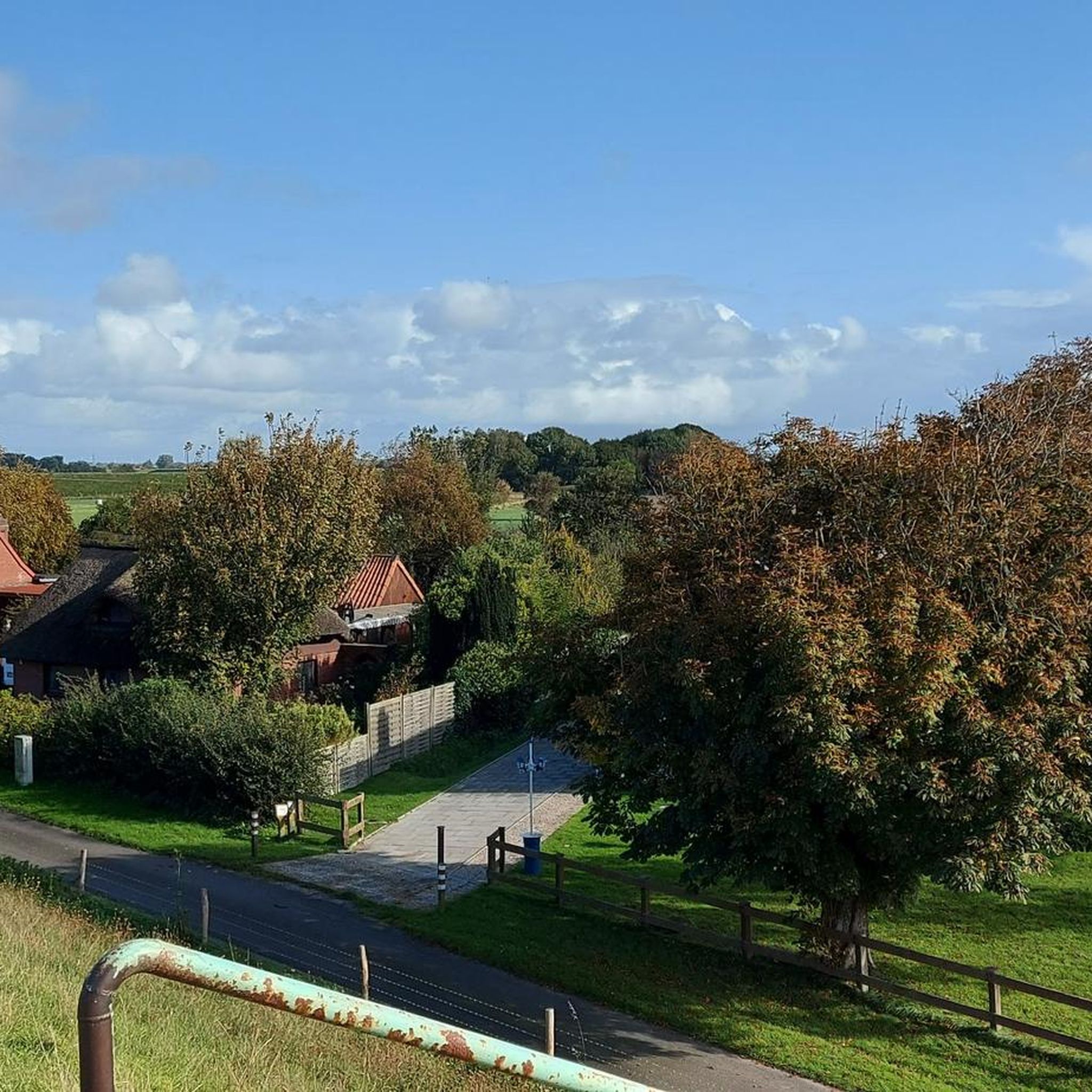
Nice spot, from there you have a good view of the marsh.
0
0
If you would like to visit, you will also know more about the history of Dithmarschen.😔
0
0

The Gudendorf Memorial is located in the municipality of Gudendorf in the district of Dithmarschen, Schleswig-Holstein, and commemorates the fate of Soviet prisoners of war during the Second World War. Originally, a prisoner of war camp was built in 1941, which later also housed a medical station for Soviet prisoners. Many of the prisoners died due to the poor conditions and diseases. After the war, in 1961, the remains of 248 Soviet prisoners of war and forced laborers were reburied at the memorial. The memorial was designed by the landscape gardener Hans-Erik Brodersen and the sculptor Siegfried Assmann and is now a place of remembrance and warning. The “Flowers for Gudendorf” initiative, founded in 1983, organizes memorial events every year around May 8th to commemorate the victims of the Nazi regime and to set an example for peace and international understanding. In addition to information boards, the memorial also offers guided tours and workshops for visitors. The memorial is partially barrier-free and freely accessible. It is located at the end of Vierthstraße in Gudendorf and is easily accessible by car and public transport.
0
0

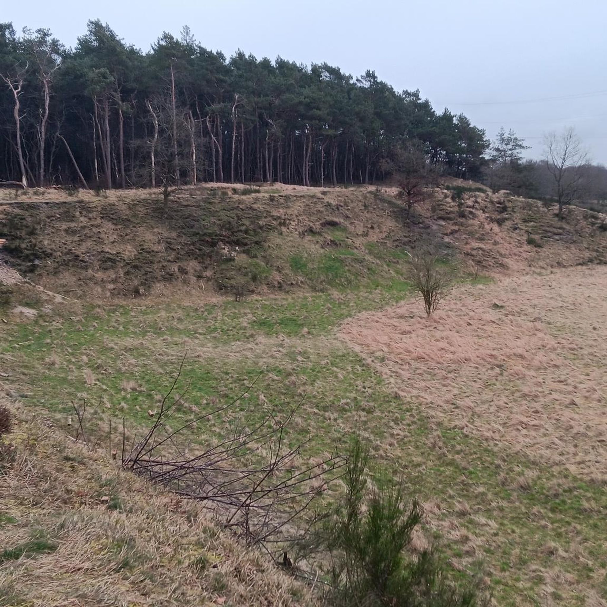
A fascinating landscape that emerged at the end of the last ice age and marks the border between geest and marsh: steep terrain, undulating structure, narrow hiking trails that run along the slope.
2
0

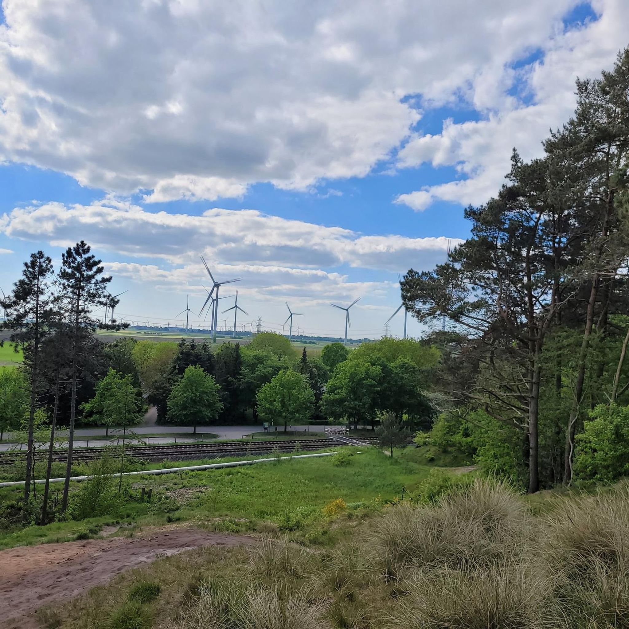
Here it goes directly along the Klev ridge and the view goes far over the marshland. Beautiful nature trail through the sandy hills. Parking directly below the train.
2
0

Hard to imagine, but true nonetheless! Once upon a time, the North Sea broke on the coast here, leaving behind the beautiful dune landscape between Gudendorf and St. Michaelisdonn. An unusually narrow and adventurous hiking trail runs along the old coastline on the steeply sloping dune.
2
0
バルルでのの人気観光スポット

komootモバイルアプリでインスピレーションを得よう


さらに探索
他の地域の最高のハイキングを見てみましょう。
