ディナルアルプス山脈のおすすめライド
4.6
(2616)
65,537
ライダー
2,036
ライド
このガイドでご紹介するのは、komootがディナルアルプス山脈でのロードバイクルートのコレクション全体を評価して選び抜いた、このエリアの人気バイクライドです。あなたに合ったものを見つけるには、以下のルートをクリックして標高データや舗装状態の分析などの細かな情報を把握し、さらにkomootコミュニティのメンバーが投稿した役立つ情報や写真も閲覧しましょう。
最終更新日: 9月 13, 2026
4.8
(12)
316
ライダー
79.1km
04:14
1,290m
1,290m
難しいロードライド. 標準以上のフィットネスレベルが必要です。 全般的に舗装状態が良好で走行しやすい道です。
4.8
(21)
277
ライダー
44.0km
02:06
620m
620m
中程度のロードライド. ある程度のフィットネスレベルが必要です。 全般的に舗装状態が良好で走行しやすい道です。

3.5
(2)
240
ライダー
78.8km
03:36
820m
820m
中程度のロードライド. ある程度のフィットネスレベルが必要です。 全般的に舗装状態が良好で走行しやすい道です。
5.0
(5)
144
ライダー
37.6km
01:53
590m
590m
中程度のロードライド. ある程度のフィットネスレベルが必要です。 全般的に舗装状態が良好で走行しやすい道です。
4.0
(8)
118
ライダー
36.7km
01:51
590m
590m
中程度のロードライド. ある程度のフィットネスレベルが必要です。 全般的に舗装状態が良好で走行しやすい道です。
5.0
(2)
43
ライダー
84.8km
04:41
1,630m
1,630m
難しいロードライド. 標準以上のフィットネスレベルが必要です。 全般的に舗装状態が良好で走行しやすい道です。
1
ライダー
151km
07:52
2,380m
2,380m
難しいロードライド. 標準以上のフィットネスレベルが必要です。 ツアーの一部に、未舗装のため走行が難しい箇所があるかもしれません。
4.8
(70)
782
ライダー
44.9km
01:58
430m
430m
中程度のロードライド. ある程度のフィットネスレベルが必要です。 全般的に舗装状態が良好で走行しやすい道です。
5.0
(20)
427
ライダー
64.9km
04:03
1,790m
1,790m
難しいロードライド. 標準以上のフィットネスレベルが必要です。 ツアーの一部に、未舗装のため走行が難しい箇所があるかもしれません。
4.6
(13)
470
ライダー
56.0km
02:25
410m
410m
中程度のロードライド. ある程度のフィットネスレベルが必要です。 全般的に舗装状態が良好で走行しやすい道です。
さらに多くのルートや他のユーザーのおすすめ情報を確認できます。
すでにアカウントをお持ちですか?
おすすめのツアーは他のkomootユーザーが実際に経験した何千ものアクティビティに基づいています。
無料アカウントで今日から始めよう
次の冒険が待っています。
ディナルアルプス山脈周辺で人気
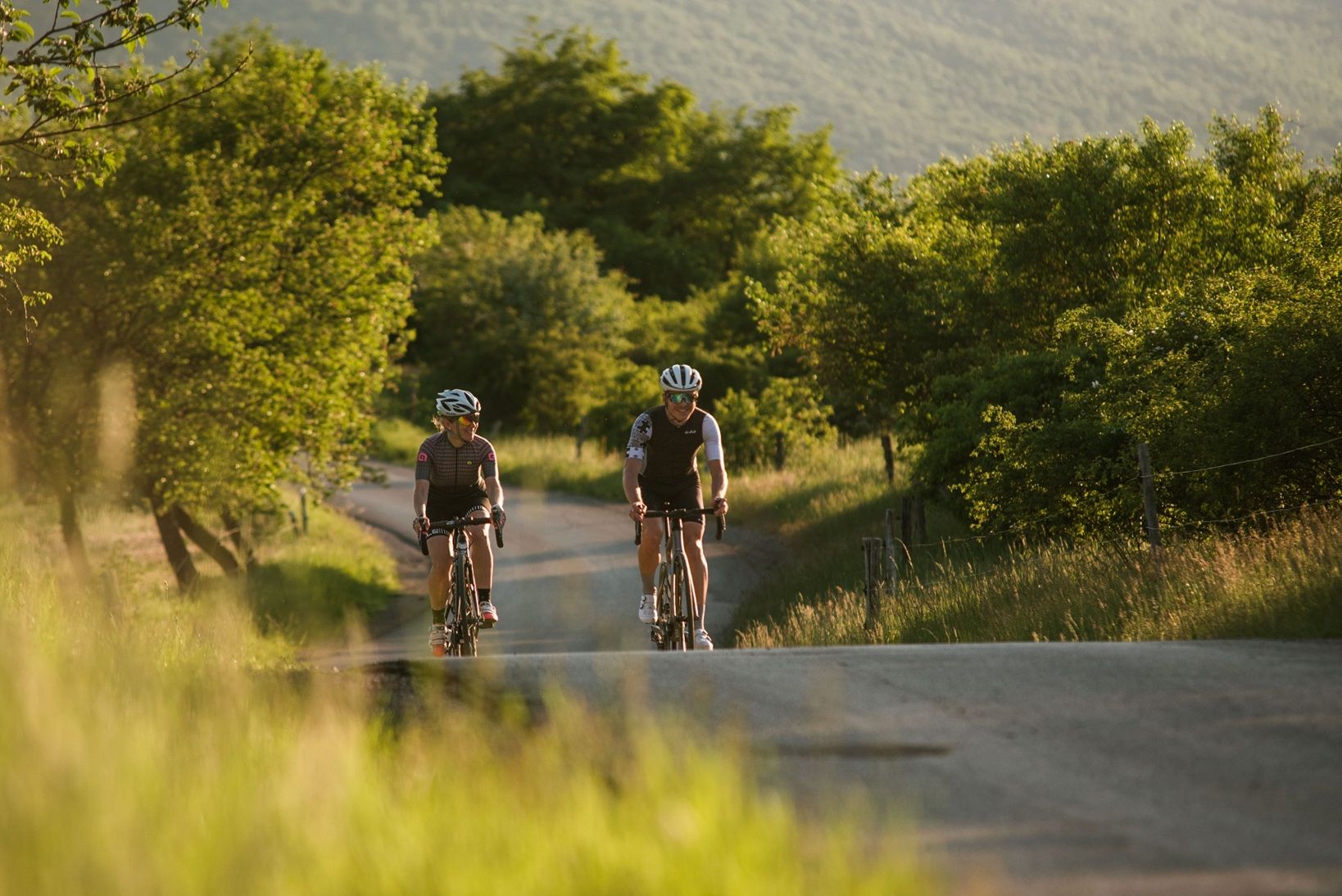
Alpine Air & Coastal Wind – Racing Bike Tours in Slovenia
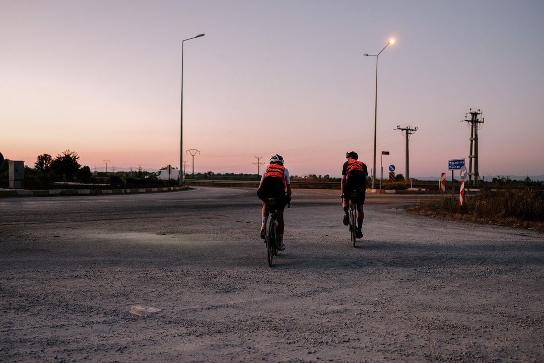
Transcontinental Race No10: crossing Europe from France to Turkey
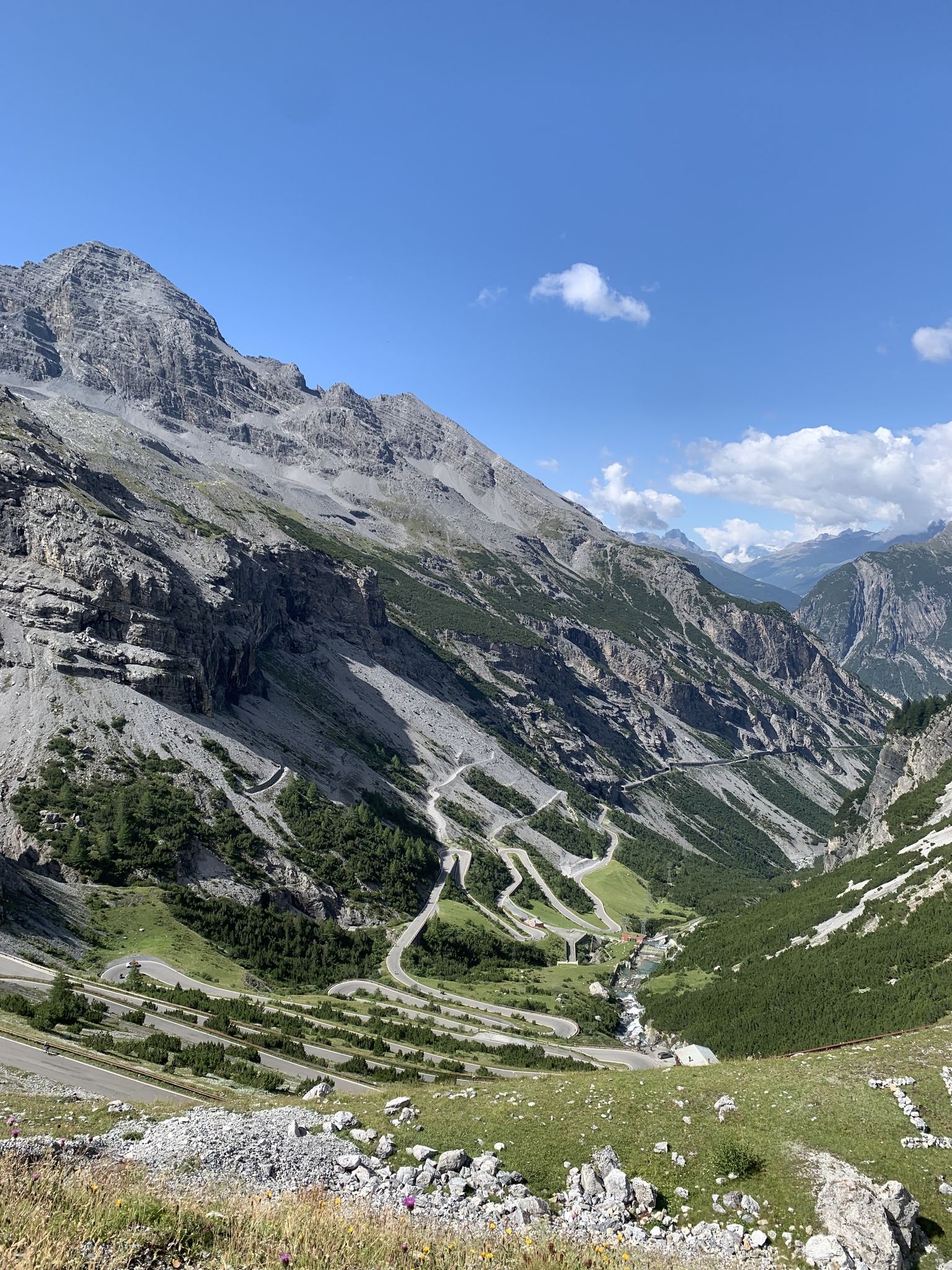
Transcontinental Race No9 2023
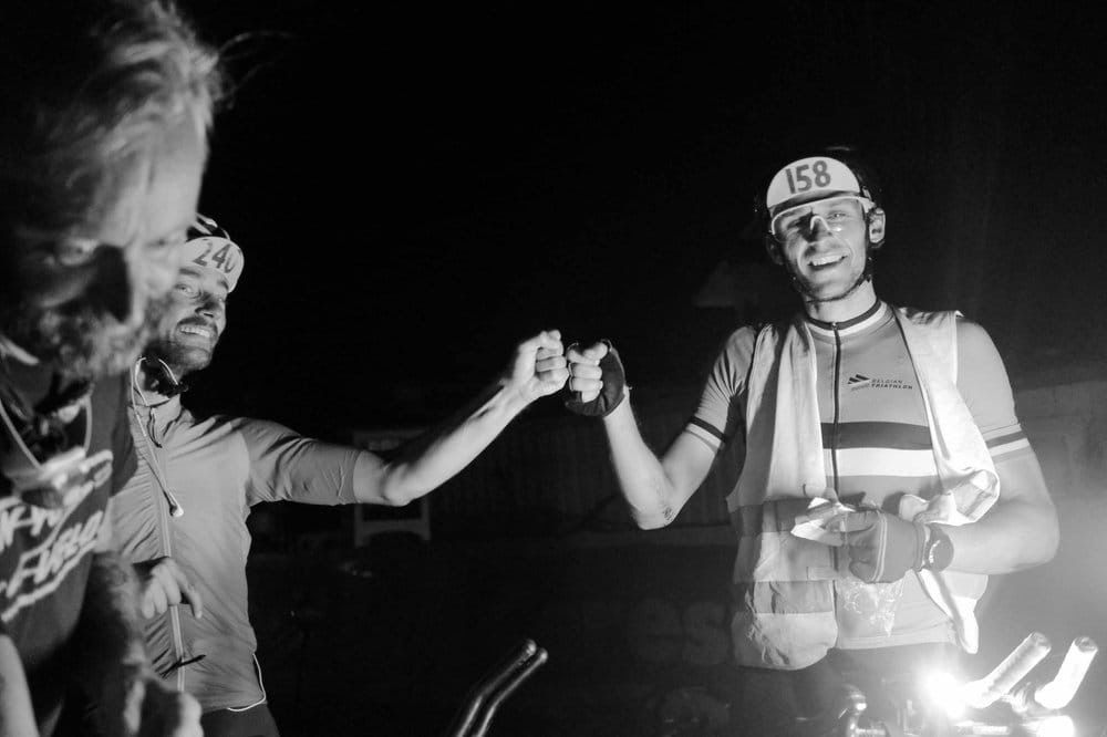
TCR No. 8 — ヨーロッパを走り交えて
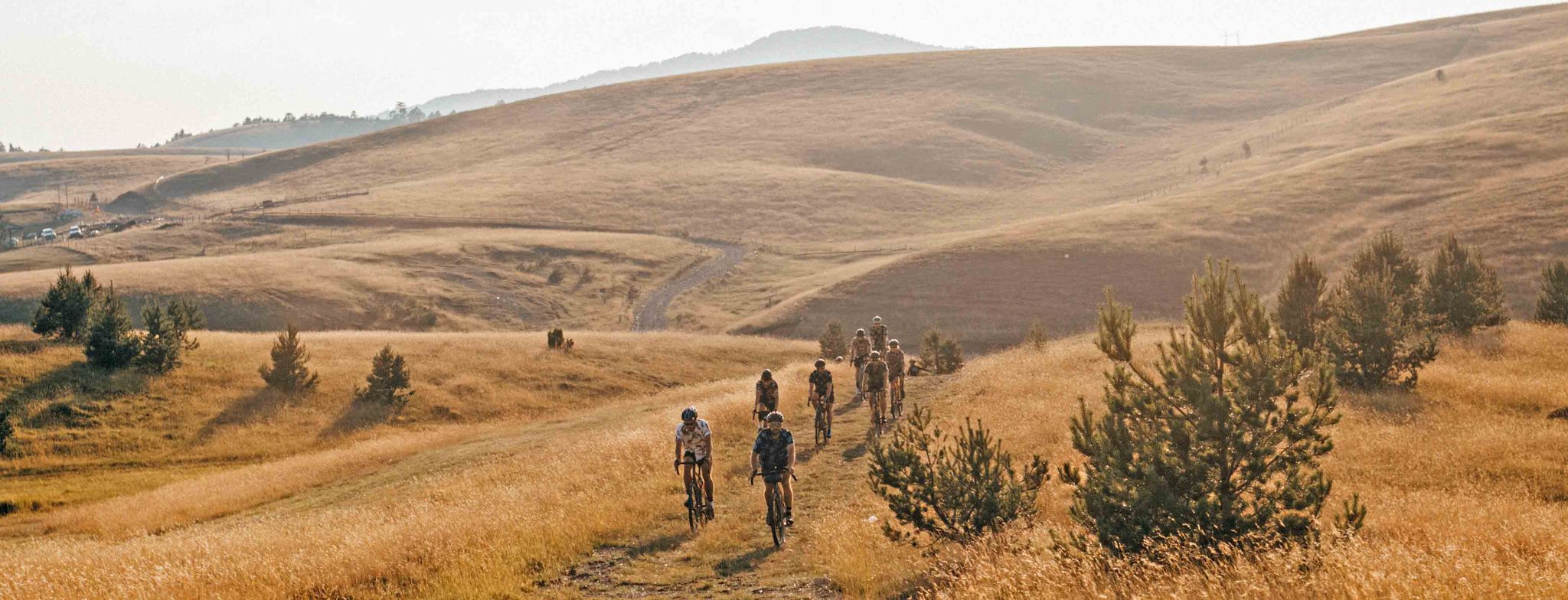
5日間のグラベルアドベンチャー in Serbia — Serbia Upside Down
歴史を書きながら-トランスコンチネンタルレース #TCRN06
ドルーストアルドプラースの長度がます《ビイクパインドのませんないます》
バイエルンからアドリア海まで - クロアチアへのバイクパッキング冒険 2023
EuroVelo 9 - バルト海からアドリア海までの琥珀ルート
スロフォラン共局がないりませんないりしてアリストプードの領のスタード
ディナルアルプス山脈でのの他の冒険


コミュニティからのヒント


サイクリング中にハンマーの眺めとは…。
2
0

A scenic seafront park with pine trees, offering a concrete and rock beach, walking paths, and stunning Adriatic Sea views.
1
0

a description and photos of a ride to the top: www.cyclepass.com/t_peu_Sveti_Jure.html
0
0

On the 321-meter-high Mejnik, a hill above the village of Gonjače, stands a memorial dedicated to the victims of World War II and a lookout tower, offering the opportunity to take one of the most beautiful photos of Goriška Brda. The memorial in Gonjače is dedicated to the 315 victims of World War II, located on the right bank of the Soča River. Next to the memorial is a 23-meter-high lookout tower with 144 steps, built in 1961. In good weather, the tower offers panoramic views of various parts of the region: Brda, the Julian and Carnic Alps, the Dolomites, Friuli-Venezia Giulia, the Gulf of Trieste, the Karst, the Vipava Valley, and the Trnovski gozd. The architect Marko Šlajmer designed the tower.
6
0
ディナルアルプス山脈でのの人気ルート

komootモバイルアプリでインスピレーションを得よう


さらに探索
他の地域の最高のロードサイクリングルートを見てみましょう。
