レイトン貯水池のおすすめライド
4.4
(23)
817
ライダー
68
ライド
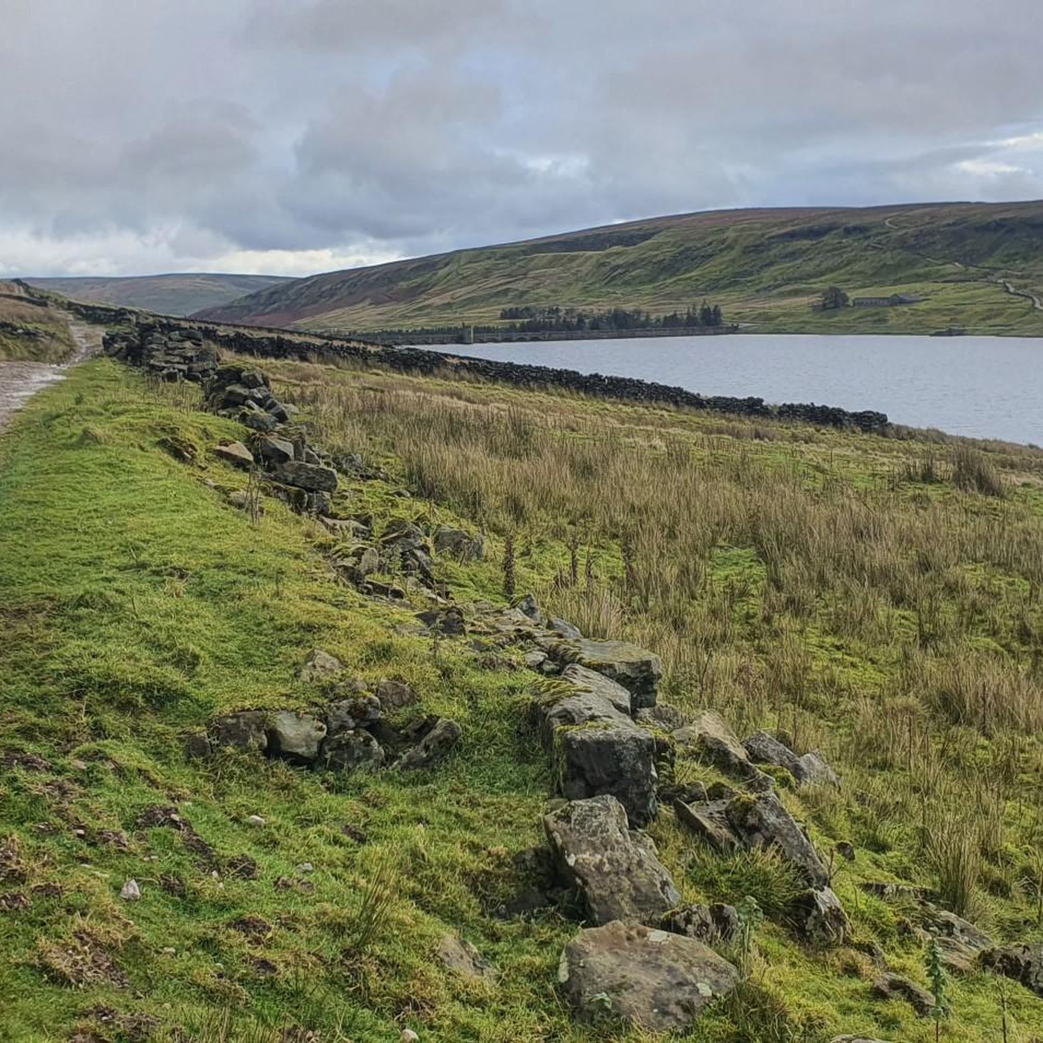
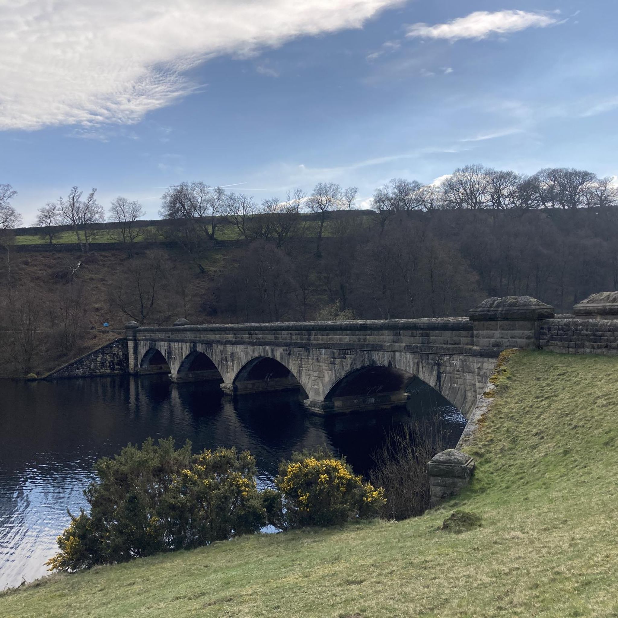
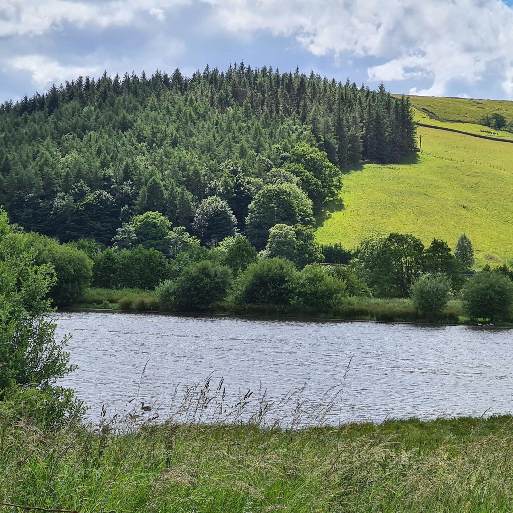
ロードサイクリングは、ヨークシャー・デールズのレイトン・レザボア周辺で、起伏のある丘、広大な田園地帯、静かな道路が特徴の多様な地形を提供します。これらのルートは農地を抜け、小さな村々を通り抜けており、ロードサイクリストに様々な体験を提供します。この景観には、貯水池、緩やかな谷、時折の登り坂があり、平坦な区間と適度な上り坂が組み合わさった景色の良いライドを求める人に適しています。
レイトン・レザボア周辺のベストロードサイクリングルート
- 最も人気のあるロードサイクリングルートは、イースト・ウィットン発、カバーデール・バレー – カバーデール・ロードのループで、距離は34.1km(21.2マイル)、所要時間は1時間51分です。景色の良い谷を抜ける適度な標高差が特徴です。
- 地元のロードサイクリストに人気のもう一つのルートは、エリントン・ハイ・アンド・ロー発、カバーデール・ロード – カバーデール・バレーのループで、距離は46.8km(29.1マイル)の適度なルートです。このルートは、広大な田園地帯を抜ける持続的なライディングで、顕著な登り坂と下り坂があります。
- 地元のロードサイクリストに愛されているのは、マシャム発、マシャム・マーケット・スクエア – パトリー・ブリッジのループで、距離は48.6km(30.2マイル)です。田園地帯の村々を抜け、ユア川沿いを走り、所要時間は約2時間28分です。
- レイトン・レザボア周辺のロードサイクリングは、起伏のある丘、広大な荒野、静かな貯水池の景色が特徴です。このネットワークは、初心者向けの簡単なルートから、かなりの標高差のあるより挑戦的なライドまで、様々なレベルのサイクリストに対応するオプションを提供しています。
- レイトン・レザボアのルートは、komootコミュニティから高く評価されており、20件以上のレビューで平均4.4つ星を獲得しています。800人以上のロードサイクリストがkomootを利用して、レイトン・レザボアの多様な地形を探索しています。
最終更新日: 10月 9, 2026
5.0
(2)
19
ライダー
34.1km
01:49
490m
490m
中程度のロードライド. ある程度のフィットネスレベルが必要です。 全般的に舗装状態が良好で走行しやすい道です。
5
ライダー
36.3km
01:57
490m
490m
中程度のロードライド. ある程度のフィットネスレベルが必要です。 全般的に舗装状態が良好で走行しやすい道です。

23
ライダー
42.5km
01:51
260m
260m
Embark on the National Byway (Bedale Loop) for an easy road cycling experience, covering 26.4 miles (42.5 km) with a gentle 859 feet (262 metres) of elevation gain. You can…
37
ライダー
94.5km
04:53
1,550m
1,550m
難しいロードライド. 標準以上のフィットネスレベルが必要です。 ツアーの一部に、未舗装のため走行が難しい箇所があるかもしれません。
34
ライダー
88.0km
04:22
880m
880m
中程度のロードライド. ある程度のフィットネスレベルが必要です。 全般的に舗装状態が良好で走行しやすい道です。
さらに多くのルートや他のユーザーのおすすめ情報を確認できます。
すでにアカウントをお持ちですか?
おすすめのツアーは他のkomootユーザーが実際に経験した何千ものアクティビティに基づいています。
無料アカウントで今日から始めよう
次の冒険が待っています。
コミュニティからのヒント


Whether you go up to the castle or hook a left further along in Redmire, you will need your granny gear!
0
0

Masham Bridge crosses the River Ure just north of the small town on the A6108. It is an arch bridge and was opened in 1754 on The Avenue, Masham.
0
0
Masham is a small market town that is built around a large square. It has held a market charter since 1250 and thrived due to the easy access of the flocks of sheep from nearby Fountains and Jervaulx Abbeys. There is still a sheep fair every September where huge numbers of sheep are bought and sold.
0
0
Grewelthorpe is around 3 miles South of Masham and 6 miles North of Ripon. It hosts an ancient 12th-century church and the nearby Hackfall Woods
0
0
Masham Market Place is one of the largest in England. It has elegant Georgian houses that stand around its periphery and an ancient cross with cobbled area at its centre.
0
0


Masham Bridge is a grade II listed building over the River Ure. It replaced an ancient bridge in 1754 There are lovely tree-lined views in either direction as it takes the A6108 into Masham or out towards Low Burton Hall.
0
0

komootモバイルアプリでインスピレーションを得よう


さらに探索
他の地域の最高のロードサイクリングルートを見てみましょう。
