レイトン貯水池のおすすめMTBライド
4.5
(68)
618
ライダー
23
ライド
レイトン貯水池周辺でおすすめのマウンテンバイクルートをお探しですか?ハロゲートが誇るこの美しい湖周辺で楽しめるMTBライドを集めたkomootコレクションを参考にしてください。次のアドベンチャーでは、レイトン貯水池の魅力をもっと発見しましょう。
最終更新日: 7月 8, 2026
2.0
(1)
4
ライダー
4.71km
00:28
140m
140m
初級者向けMTBライド. あらゆるフィットネスレベルに適しています。 あらゆるスキルレベルに適しています。
5.0
(1)
3
ライダー
23.5km
01:58
490m
490m
中程度のマウンテンバイクライド. ある程度のフィットネスレベルが必要です。 あらゆるスキルレベルに適しています。

無料新規登録
4.4
(5)
20
ライダー
37.9km
02:58
780m
780m
中程度のマウンテンバイクライド. ある程度のフィットネスレベルが必要です。 高度なライディングスキルが必要です。
4.5
(2)
5
ライダー
23.0km
01:45
360m
360m
中程度のマウンテンバイクライド. ある程度のフィットネスレベルが必要です。 あらゆるスキルレベルに適しています。
4.7
(24)
195
ライダー
24.1km
02:01
520m
520m
Embark on the Tour of Nidderdale, a classic mountain biking route that takes you through the diverse landscapes of the Nidderdale National Landscape. This moderate 15.0-mile (24.1 km) ride features…
さらに多くのルートや他のユーザーのおすすめ情報を確認できます。
無料新規登録
すでにアカウントをお持ちですか?
おすすめのツアーは他のkomootユーザーが実際に経験した何千ものアクティビティに基づいています。
無料アカウントで今日から始めよう
次の冒険が待っています。
ログインまたは登録
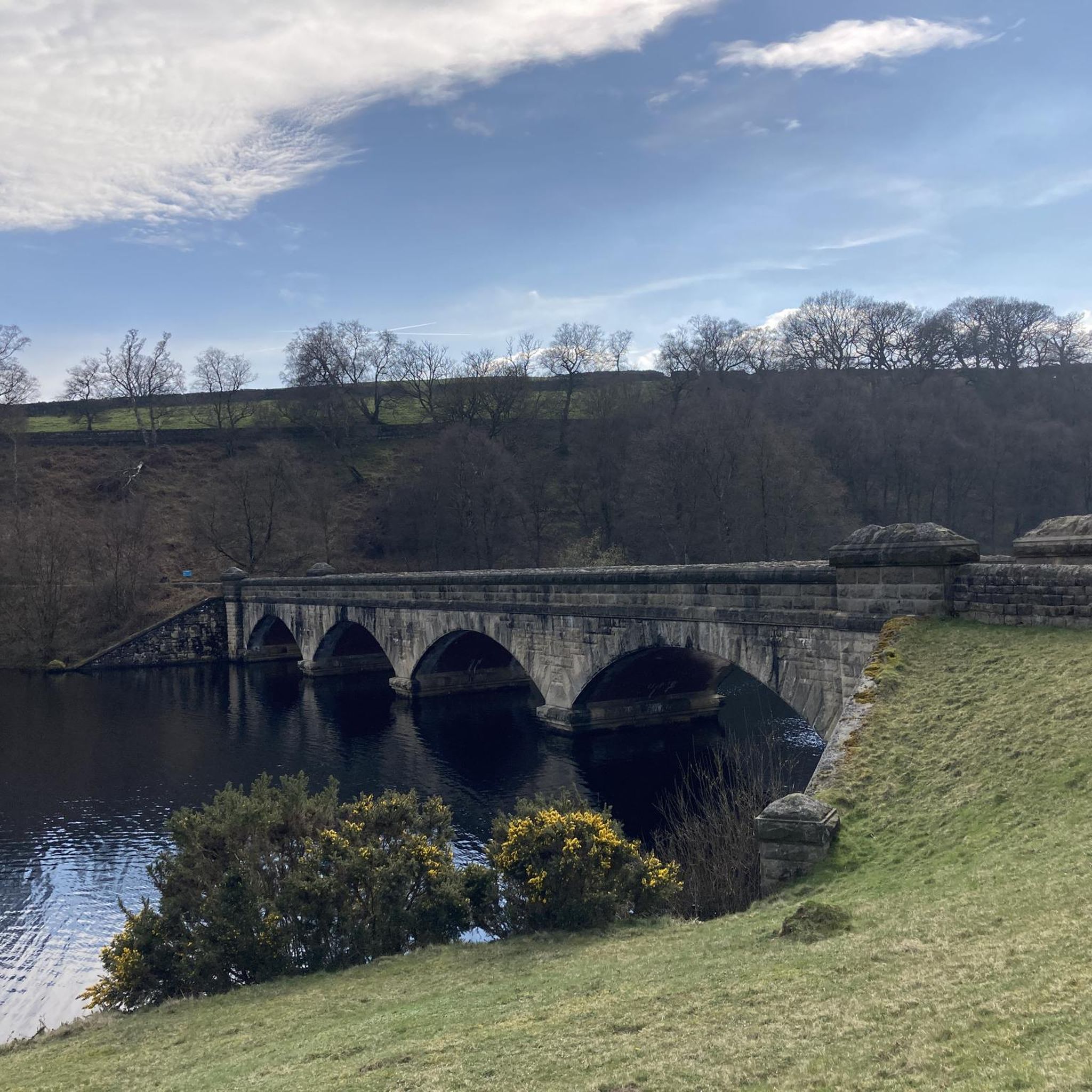
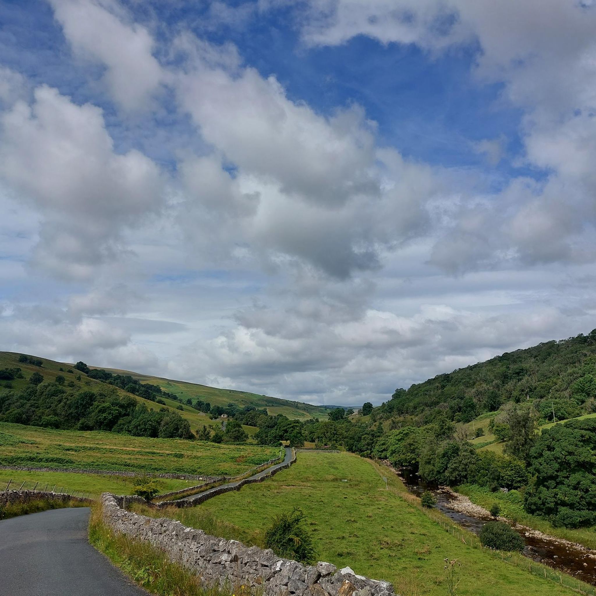
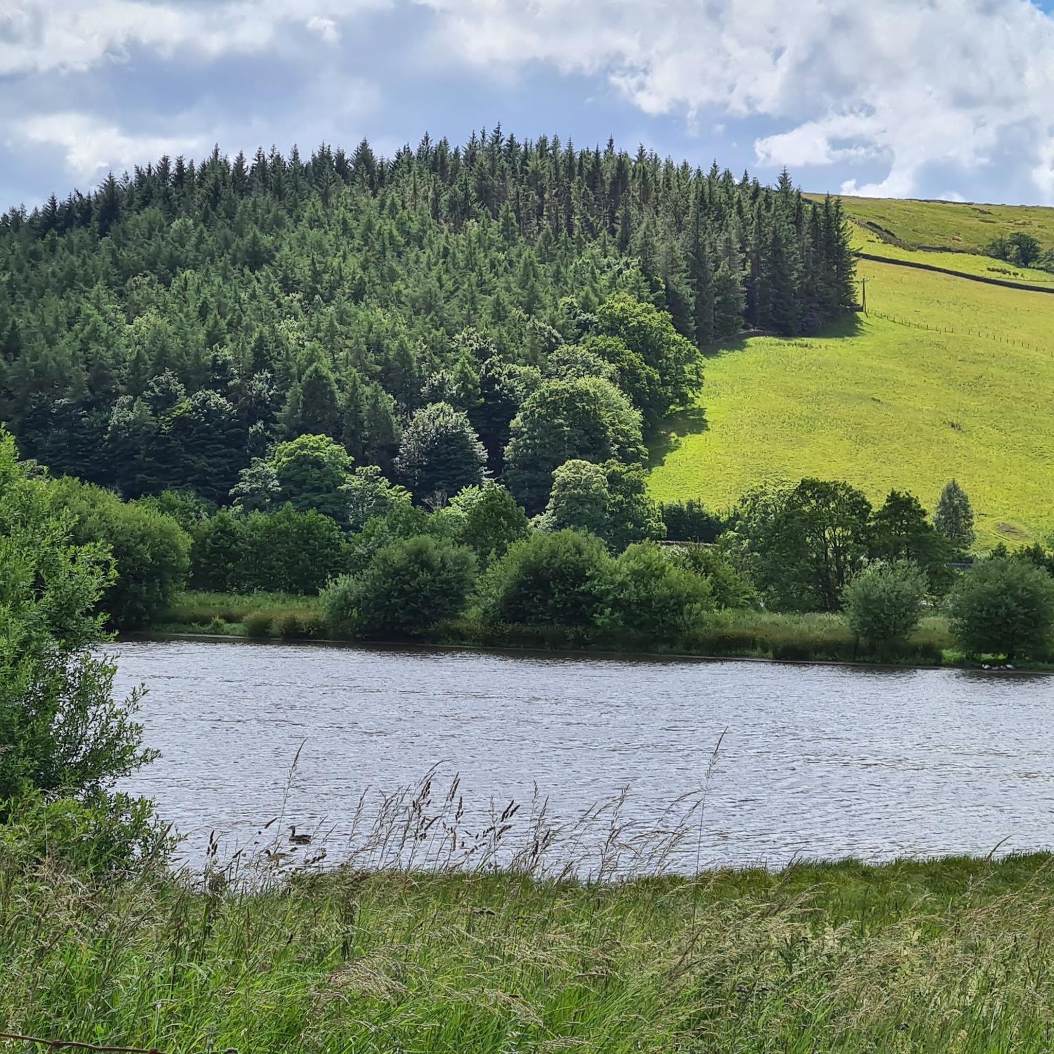

コミュニティからのヒント


A hidden gem and interesting story behind the construction of the Temple. Beautiful views and an interesting undulating walk through stunning countryside.
0
0


This is a beautiful road to cycle down that follows the entire length of the reservoir. It's surrounded by rolling hills and farmland and provides great views of the Nidderdale Valley.
1
0

the drive to the temple was well worth it. You will find a cafe, and family area, before a short walk up to the temple. the set up of the rock formations is mind blowing, but very interesting. a big tick for me to visit again.
1
1

Scar House Reservoir is located in Nidderdale, North Yorkshire, England. The dam that forms Scar House Reservoir is an impressive structure. Here are some key points about Scar House Reservoir's dam: Construction: The construction of Scar House Reservoir began in 1921 and was completed in 1936. The purpose of the reservoir was to supply water to the Bradford area. Height and Type: The dam is an earth embankment dam, which means it is constructed using compacted earth. The height of Scar House Dam is approximately 72 meters (236 feet), making it one of the tallest dams in England. Reservoir Capacity: Scar House Reservoir has a capacity of around 40 billion liters (8.8 billion gallons) of water. The reservoir is part of a network of reservoirs in the area that collectively serve the purpose of water supply. Water Source: The reservoir collects water from the surrounding hills and moorlands, storing it for supply to the cities and towns downstream, particularly Bradford. Recreation: Apart from its primary function of water supply, Scar House Reservoir and its surrounding area also offer recreational opportunities. The reservoir is situated in a scenic landscape, making it a popular destination for walkers and nature enthusiasts. Management: The reservoir and dam are managed by Yorkshire Water, a company responsible for providing water and wastewater services in the Yorkshire region.
0
0

Great to spectate after heavy rainfall in the area
0
0

This shooting house used to look genuinely ugly - rotting, falling apart, broken windows... a few years back, it was renovated, so it's looking much better these days! It is in a spectacular position here, with magnificent views over Upper Nidderdale.
0
0

komootモバイルアプリでインスピレーションを得よう


さらに探索
他の地域の最高のMTBトレイルを見てみましょう。
