アングラム貯水池のおすすめライド
4.8
(23)
1,519
ライダー
9
ライド
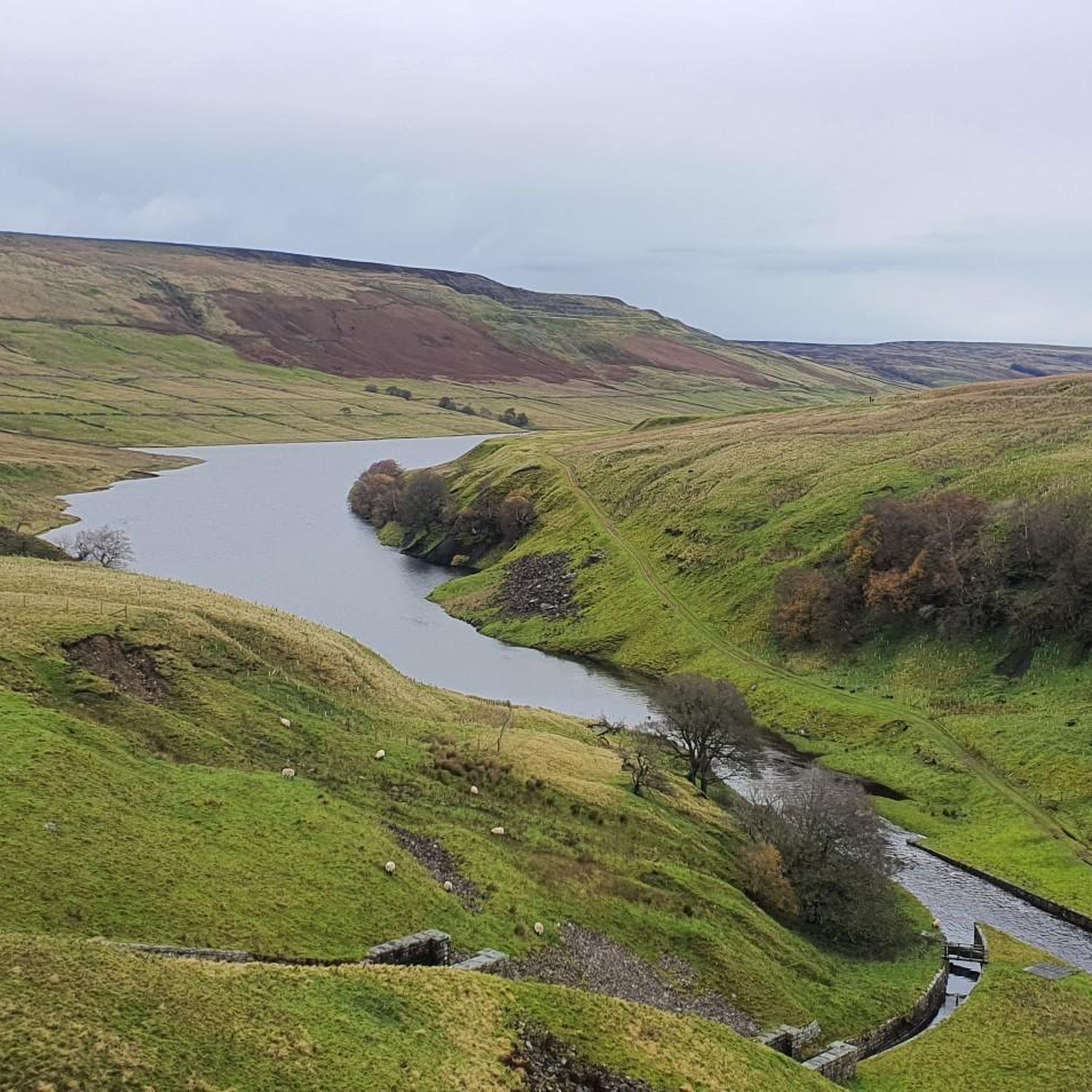
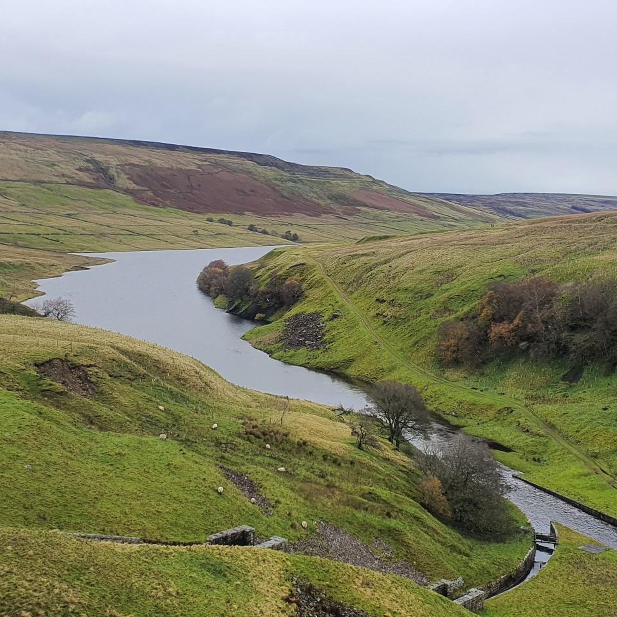
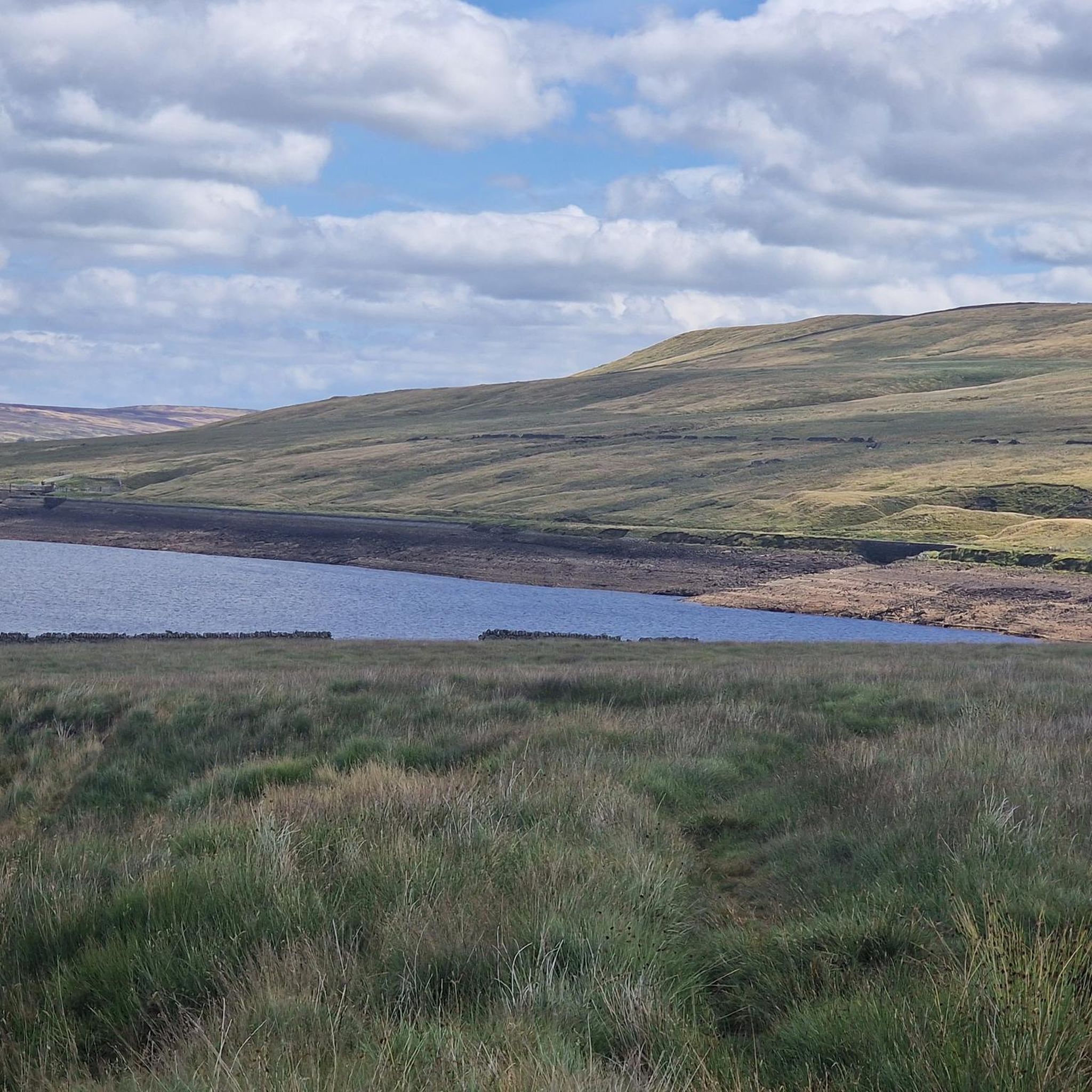
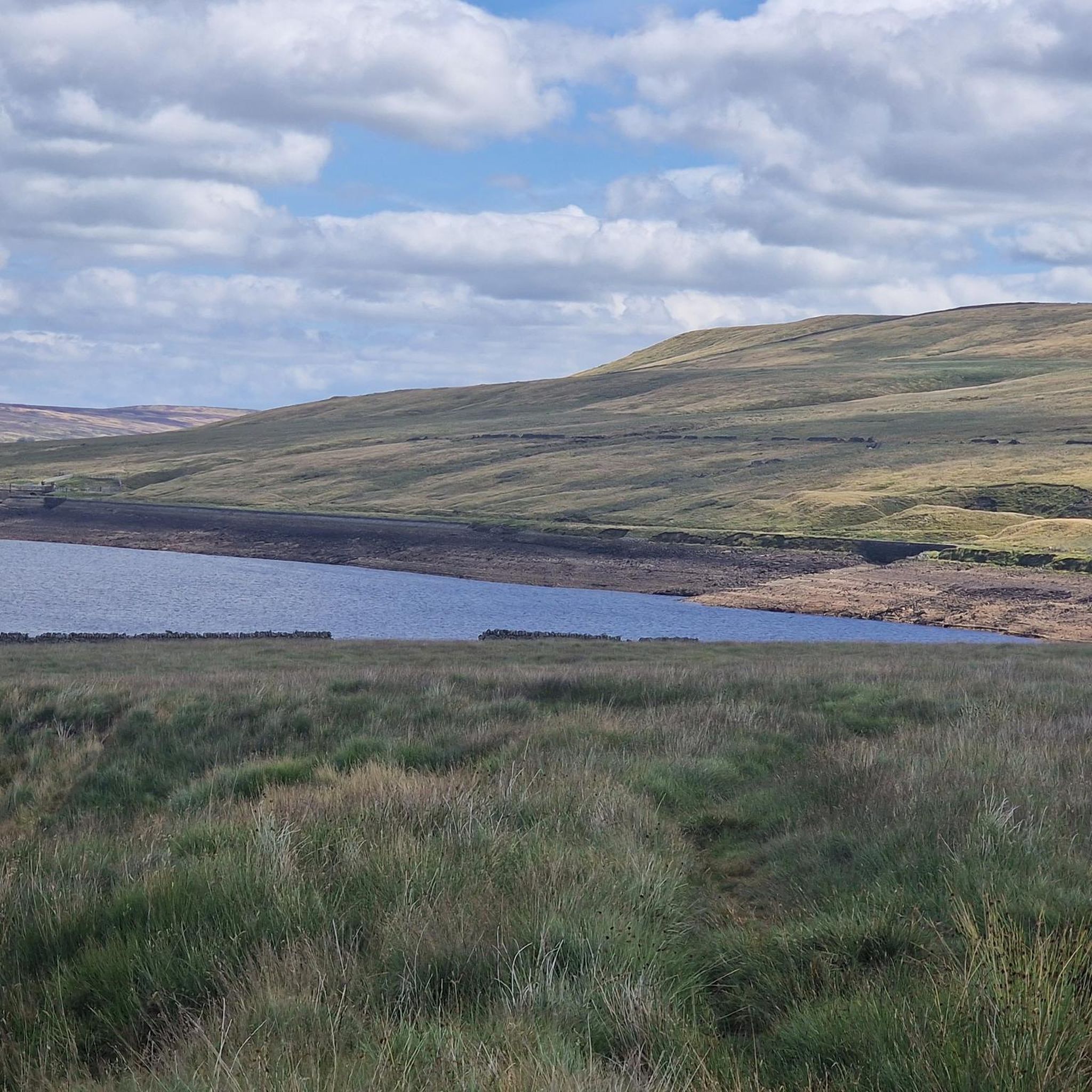
アングラム貯水池周辺でおすすめのロードバイクルートをお探しですか?ハロゲートが誇るこの美しい湖周辺で楽しめるライドを集めたkomootコレクションを参考にしてください。次のアドベンチャーでは、アングラム貯水池の魅力をもっと発見しましょう。
最終更新日: 7月 9, 2026
13
ライダー
29.9km
01:48
400m
400m
中程度のロードライド. ある程度のフィットネスレベルが必要です。 全般的に舗装状態が良好で走行しやすい道です。
5.0
(5)
62
ライダー
42.1km
02:08
620m
610m
中程度のロードライド. ある程度のフィットネスレベルが必要です。 全般的に舗装状態が良好で走行しやすい道です。

無料新規登録
12
ライダー
40.3km
02:05
640m
640m
中程度のロードライド. ある程度のフィットネスレベルが必要です。 全般的に舗装状態が良好で走行しやすい道です。
4.5
(6)
582
ライダー
73.9km
03:46
880m
880m
中程度のロードライド. ある程度のフィットネスレベルが必要です。 全般的に舗装状態が良好で走行しやすい道です。
5.0
(3)
233
ライダー
51.9km
02:41
710m
710m
中程度のロードライド. ある程度のフィットネスレベルが必要です。 全般的に舗装状態が良好で走行しやすい道です。
さらに多くのルートや他のユーザーのおすすめ情報を確認できます。
無料新規登録
すでにアカウントをお持ちですか?
おすすめのツアーは他のkomootユーザーが実際に経験した何千ものアクティビティに基づいています。
無料アカウントで今日から始めよう
次の冒険が待っています。
ログインまたは登録
コミュニティからのヒント


The Coldstones CutとToft Gate Lime Kilnは、ニダーデールのグリーンハウヒルに一緒に位置する、対照的な2つの歴史的および文化的アトラクションです。
0
0


Quintessentially pretty market town, arrive early to find suitable parking, best place is next to the showground on the southern side of the bridge over the River Nidd. Honesty box only (no payment cards), cheap at £1 up to 4 hours and £2 all day (spring 2025 prices). The southern end of Nidderdale around Pateley Bridge has one of the densest concentrations of public footpaths in North Yorkshire, so loads of routeing options. See the North Yorks public rights of way map at https://maps.northyorks.gov.uk/connect/analyst/mobile/#/main?mapcfg=Out_and_About
1
0

The bridge carries Hanghow Lane over the River Cover. It is built of stone and consists of a single chamfered pointed arch, which is 50 feet (15 m) wide, while the bridge is 12 feet (3.7 m) from side to side
1
0

komootモバイルアプリでインスピレーションを得よう


さらに探索
他の地域の最高のロードサイクリングルートを見てみましょう。
