Berkeleyのおすすめウォーキング&ハイキングルート
4.6
(480)
11,614
ハイカー
47
ハイキング
Berkeley 周辺でおすすめのハイキングやウォーキングを楽しんでいただけるように、このエリアの小径やルートを集めたkomootコレクション全体を見直しました。 以下で各ルートの詳細をご覧になり、Berkeley周辺の大自然を満喫する際の参考にしてください。
最終更新日: 8月 31, 2026
5.0
(1)
8
ハイカー
8.05km
02:03
20m
20m
中程度のハイキング. ある程度のフィットネスレベルが必要です。 進みやすいルートです。あらゆるスキルレベルに適しています。
3
ハイカー
23.4km
06:56
660m
740m
難しいハイキング. 標準以上のフィットネスレベルが必要です。 進みやすいルートです。あらゆるスキルレベルに適しています。

無料新規登録
1.56km
00:31
80m
70m
初級者向けハイキング. あらゆるフィットネスレベルに適しています。 進みやすいルートです。あらゆるスキルレベルに適しています。
3.0
(1)
3
ハイカー
1.38km
00:21
0m
0m
初級者向けハイキング. あらゆるフィットネスレベルに適しています。 進みやすいルートです。あらゆるスキルレベルに適しています。
7.54km
02:33
470m
160m
中程度のハイキング. ある程度のフィットネスレベルが必要です。 進みやすいルートです。あらゆるスキルレベルに適しています。
さらに多くのルートや他のユーザーのおすすめ情報を確認できます。
無料新規登録
すでにアカウントをお持ちですか?
おすすめのツアーは他のkomootユーザーが実際に経験した何千ものアクティビティに基づいています。
無料アカウントで今日から始めよう
次の冒険が待っています。
ログインまたは登録

コミュニティからのヒント

The Tilden Steam Train is a 15 in gauge miniature railway at Tilden Regional Park. It offers visitors a ride along a ridge through the park, and gives you amazing views of the nearby valley and mountains.
0
0


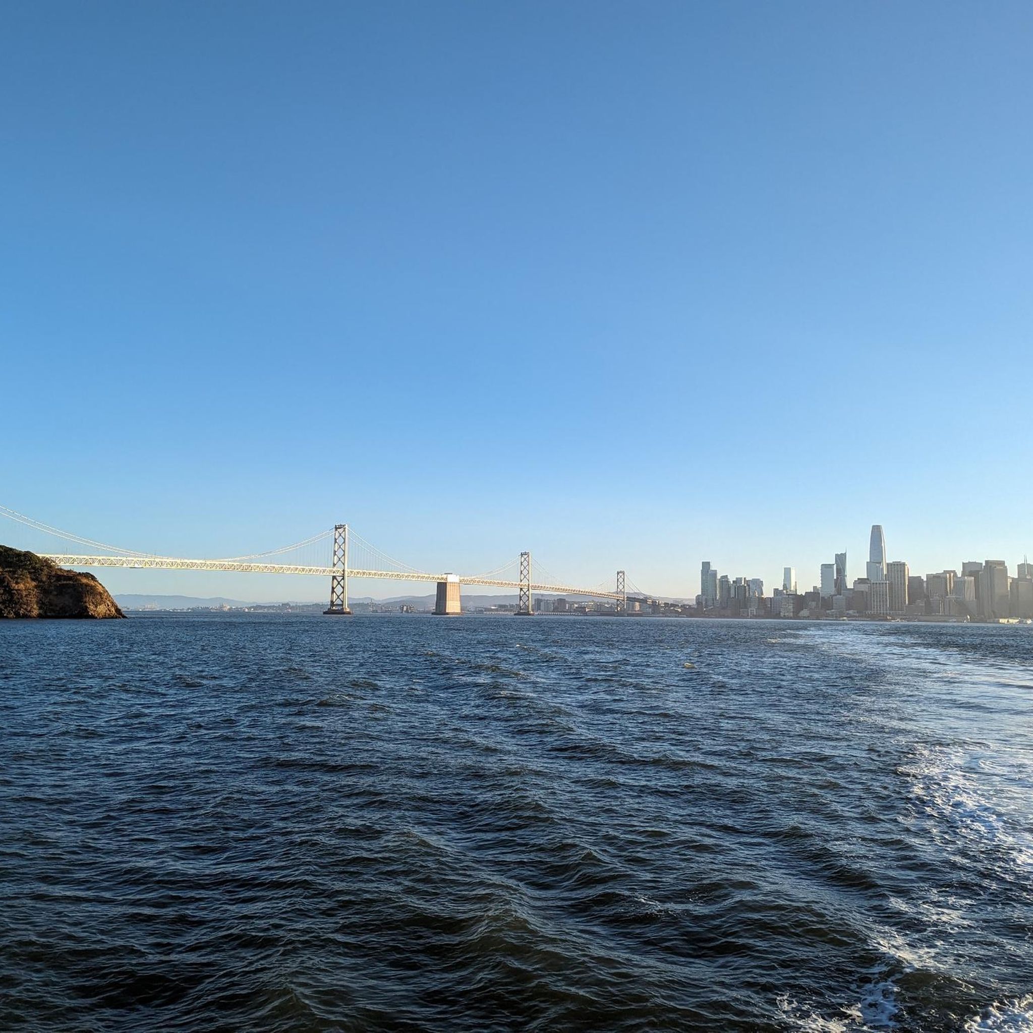
Berkeley’s Shorebird Park Nature Center is located on the Berkeley Marina. It was California’s first municipal straw bale building, showcasing sustainable design. The center offers interactive exhibits, marine life aquariums, and educational programs focused on local ecology, environmental conservation, and sustainable practices. Visitors can explore topics like shoreline habitats, marine biology, and pollution prevention. Surrounding the center, Shorebird Park features picnic areas, walking trails, and stunning views of the San Francisco Bay, providing opportunities to observe local wildlife, including shorebirds and other aquatic species.
0
0

This scenic singletrack trail takes you through rolling verdant hills that overlook Berkeley and the many local regional parks. The trail system is extensive and you can find some partial shade in the summer.
0
0

Tightwad Hill is part of the Charter Hill, right next to the University of California, Berkeley. It is named so as it provides a fantastic view of the California Memorial Stadium, so football fans can watch the games for free from here.
0
0
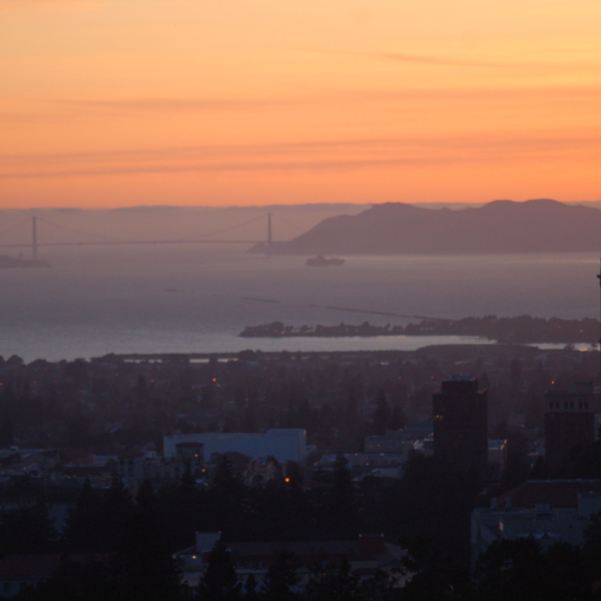
The Big C is a huge letter built into the Charter Hill next to the Berkeley Campus of the University of California. It is a prominent symbol of the university and can be seen from various parts of the Bay Area. A hike to the Big C includes fascinating views of Berkeley and the San Francisco Bay.
0
0

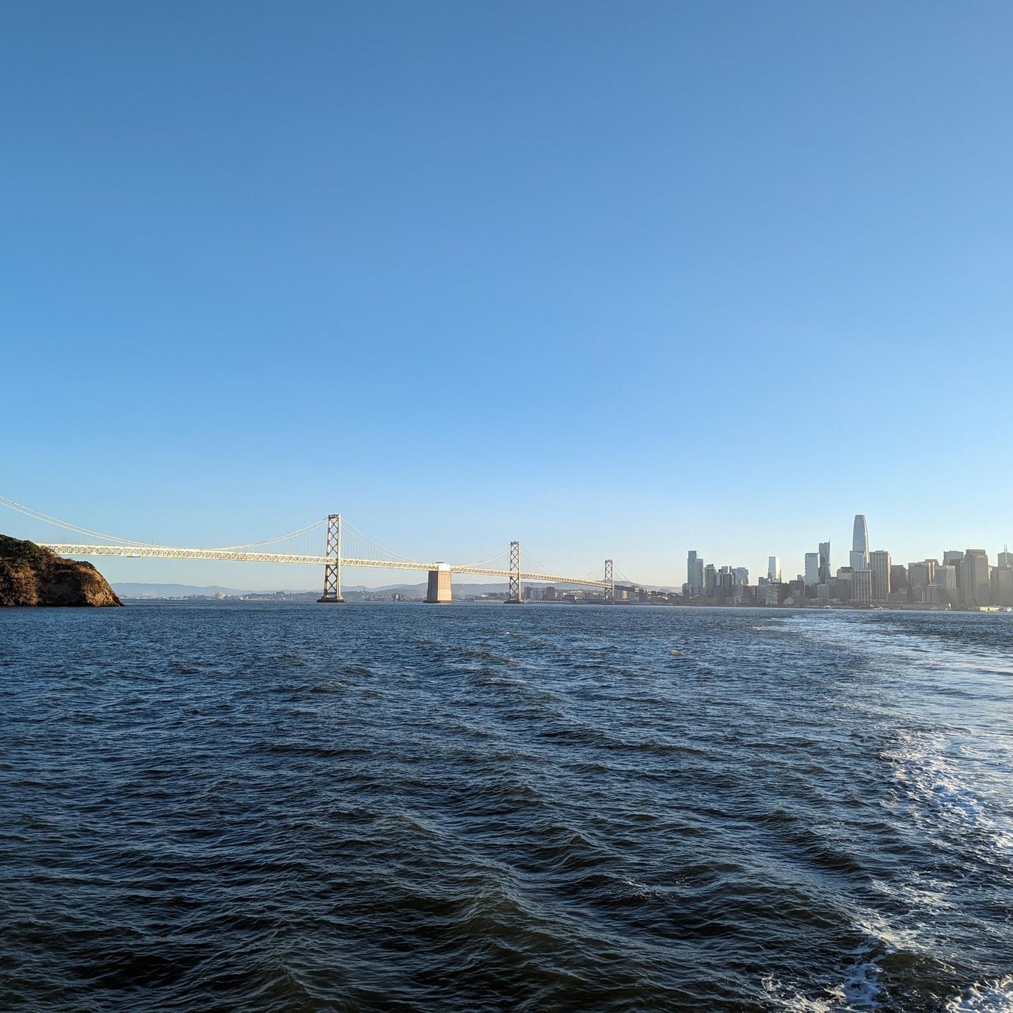
César Chávez Park is 90 acres in size and did not always look so nice, It was a landfill in 1957, untill In 1969, the city adopted the Marina Master Plan. In 1991 the city completely sealed the landfill and the park opened soon thereafter, first named North Waterfront Park, then renamed after César E. Chávez, who was a union leader and founder of the United Farm Workers of America. Today a paved paths goes around and through the park, with picnic tables, barbecue grills, and a sun dial.
1
0
around Berkeleyの人気観光スポット

komootモバイルアプリでインスピレーションを得よう


さらに探索
他の地域の最高のハイキングを見てみましょう。
