Berkeleyのおすすめランニングルート
4.3
(11)
1,633
ランナー
122
ランニング
Berkeleyでランニングを楽しめば、このエリアをより深く知ることができます。ランニングに適した美しいルートが見つかるように、komootがBerkeleyでのルートのコレクション全体を評価して選び抜いた、人気ランニングトレイルをご紹介します。ルートをクリックして詳細を表示し、他のユーザーがアップロードした役立つ情報や写真を閲覧しましょう。
最終更新日: 5月 29, 2026
5.0
(1)
105
ランナー
17.4km
01:49
150m
150m
難しいジョギング. 標準以上のフィットネスレベルが必要です。 全般的に舗装された状態です。あらゆるスキルレベルに適しています。
5.0
(1)
89
ランナー
難しいジョギング. 標準以上のフィットネスレベルが必要です。 全般的に舗装された状態です。あらゆるスキルレベルに適しています。

無料新規登録
127
ランナー
12.6km
01:31
350m
350m
難しいジョギング. 標準以上のフィットネスレベルが必要です。 全般的に舗装された状態です。あらゆるスキルレベルに適しています。
5.0
(2)
66
ランナー
17.0km
01:45
30m
30m
難しいジョギング. 標準以上のフィットネスレベルが必要です。 全般的に舗装された状態です。あらゆるスキルレベルに適しています。
58
ランナー
18.6km
02:38
740m
740m
難しいジョギング. 標準以上のフィットネスレベルが必要です。 全般的に舗装された状態です。あらゆるスキルレベルに適しています。
さらに多くのルートや他のユーザーのおすすめ情報を確認できます。
無料新規登録
すでにアカウントをお持ちですか?
おすすめのツアーは他のkomootユーザーが実際に経験した何千ものアクティビティに基づいています。
無料アカウントで今日から始めよう
次の冒険が待っています。
ログインまたは登録
コミュニティからのヒント

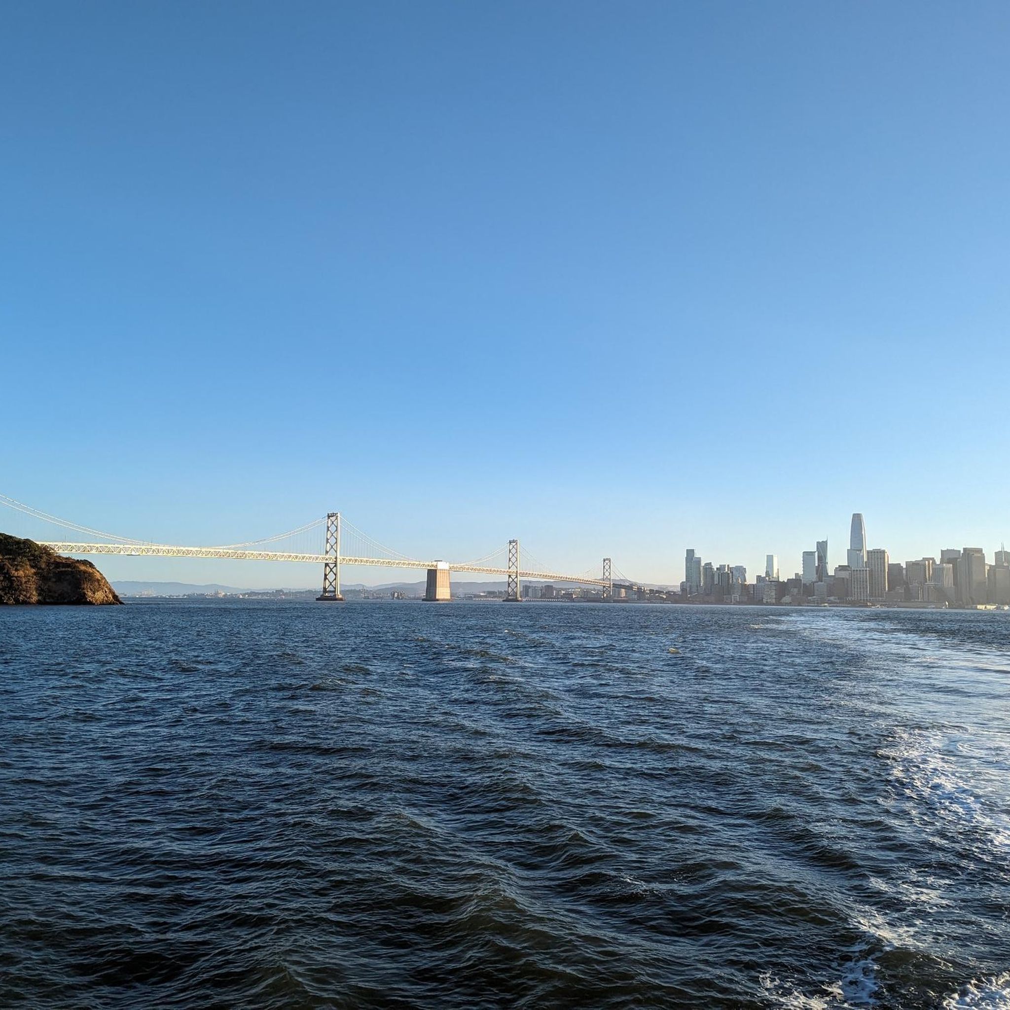
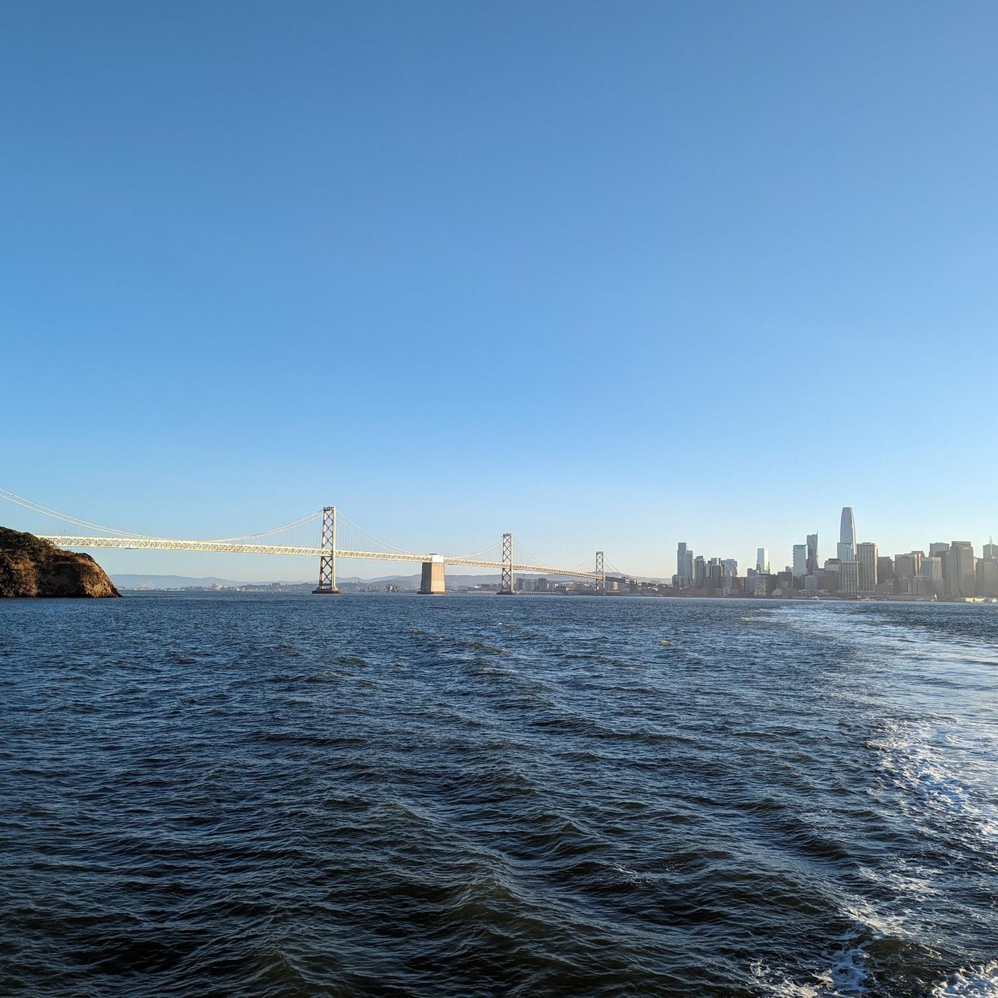
This part of the East Shore State Park Bay Trail runs from University Ave to the scenic Emery Point. It is part of the larger section of trail from University Ave to Powell Street that is one of the few paved, complete segments of the larger, still-developing Bay Trail. This section offers sweeping views across the bay, it is a little noisy due to its proximity to the frontage road and major interstate. Despite this, the trail is popular for walking, running, and cycling and is a great, scenic way to get around the area right on the water.
0
0


This Berkeley city park has some nice biking and walking trails, along with picnic areas, disc golf, and a large lagoon where boating is allowed.
0
0

great to cycle here, I really enjoyed it
2
0

For an invigorating run, follow the Arroyo Trail alongside a babbling creek. Embrace the Spanish-inspired ambiance, as the creek's presence creates a serene backdrop, enhancing your scenic jogging experience year-round.
0
0

Please be respectful when approaching this area. Do not disturb the temple.
0
0

Tracks Mural can be found adjacent to Gilman Avenue along the Ohlone Greenway. The mural shows the historical narrative of the San Francisco Bay Area, from the time period of habitation by the Ohlone Indians to the era of Spanish settlement and to the present day. This artwork is part of a collection of various artistic murals along the greenway.
0
0

Some 30 yards long mural telling the story of the area in pictographs
0
0
around Berkeleyの人気観光スポット

komootモバイルアプリでインスピレーションを得よう


さらに探索
他の地域の最高のランニングトレイル & ルートを見てみましょう。
