ダムヴラネのおすすめウォーキング&ハイキングルート
4.4
(182)
1,693
ハイカー
123
ハイキング
ダムヴラネ周辺でおすすめのハイキングやウォーキングをお探しですか?ダムヴラネが誇るこの美しい湖周辺のルートを集めたkomootコレクションを参考にしてください。 ここでは、ダムヴラネ周辺の人気ハイキングコースを紹介しています。魅力的なルートが見つかったら、さっそく冒険に出かけましょう。
最終更新日: 9月 2, 2026
4.9
(46)
452
ハイカー
14.7km
04:44
350m
350m
難しいハイキング. ある程度のフィットネスレベルが必要です。 安定して歩行できる技術、丈夫な靴、高標高地での登山経験が必要です。
5.0
(2)
29
ハイカー
25.0km
07:44
610m
610m
難しいハイキング. 標準以上のフィットネスレベルが必要です。 安定して歩行できる技術、丈夫な靴、高標高地での登山経験が必要です。

無料新規登録
4.5
(2)
15
ハイカー
6.21km
01:53
210m
210m
初級者向けハイキング. あらゆるフィットネスレベルに適しています。 進みやすいルートです。あらゆるスキルレベルに適しています。
4.2
(5)
10
ハイカー
14.8km
04:10
300m
300m
中程度のハイキング. ある程度のフィットネスレベルが必要です。 進みやすいルートです。あらゆるスキルレベルに適しています。
5.0
(1)
8
ハイカー
7.22km
02:04
160m
160m
中程度のハイキング. ある程度のフィットネスレベルが必要です。 進みやすいルートです。あらゆるスキルレベルに適しています。
さらに多くのルートや他のユーザーのおすすめ情報を確認できます。
無料新規登録
すでにアカウントをお持ちですか?
おすすめのツアーは他のkomootユーザーが実際に経験した何千ものアクティビティに基づいています。
無料アカウントで今日から始めよう
次の冒険が待っています。
ログインまたは登録
コミュニティからのヒント

The Midsummer Streams were also sought out by the first boatmen, who built simple dwellings and later log cabins around the river. This is how the first tramp settlement, Ztracenka or Lost Hope, was established here. With the construction of the Štěchovice Dam, the entire valley and settlements remained underwater. However, tramps found their way here again. In 1889, the first tourist route in our country was built above the river, which you can still walk on today.
4
0
The Midsummer Streams were also sought out by the first boatmen, who built simple dwellings and later log cabins around the river. This is how the first tramp settlement, Ztracenka or Lost Hope, was established here. With the construction of the Štěchovice Dam, the entire valley and settlements remained underwater. However, tramps found their way here again. In 1889, the first tourist route in our country was built above the river, which you can still walk on today.
4
0
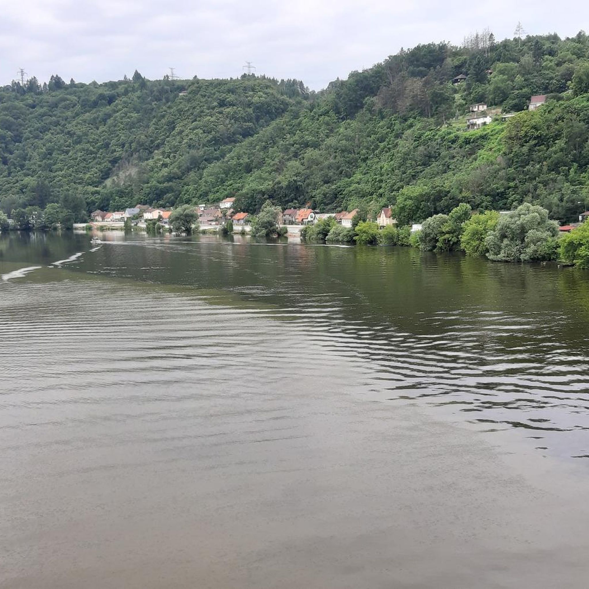
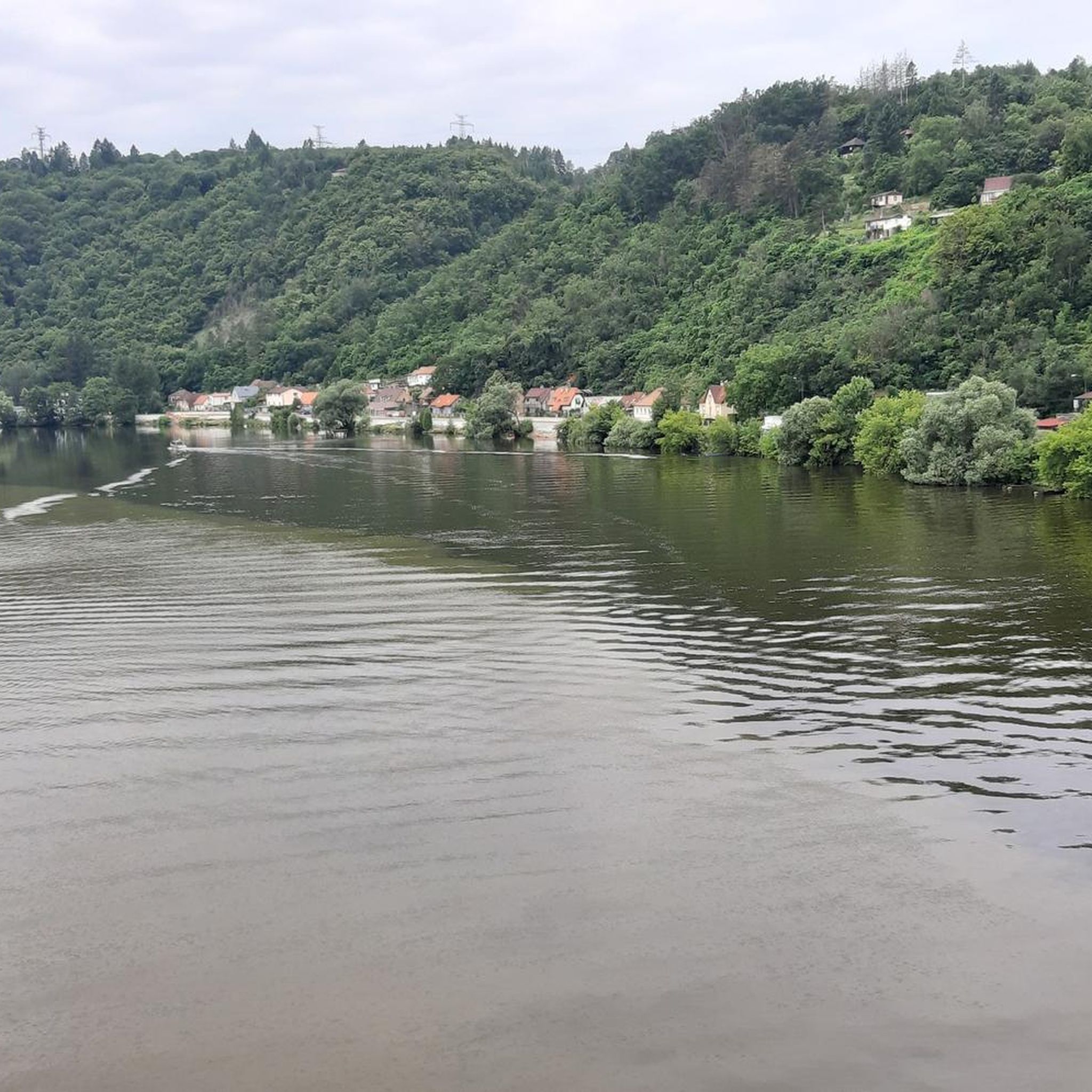
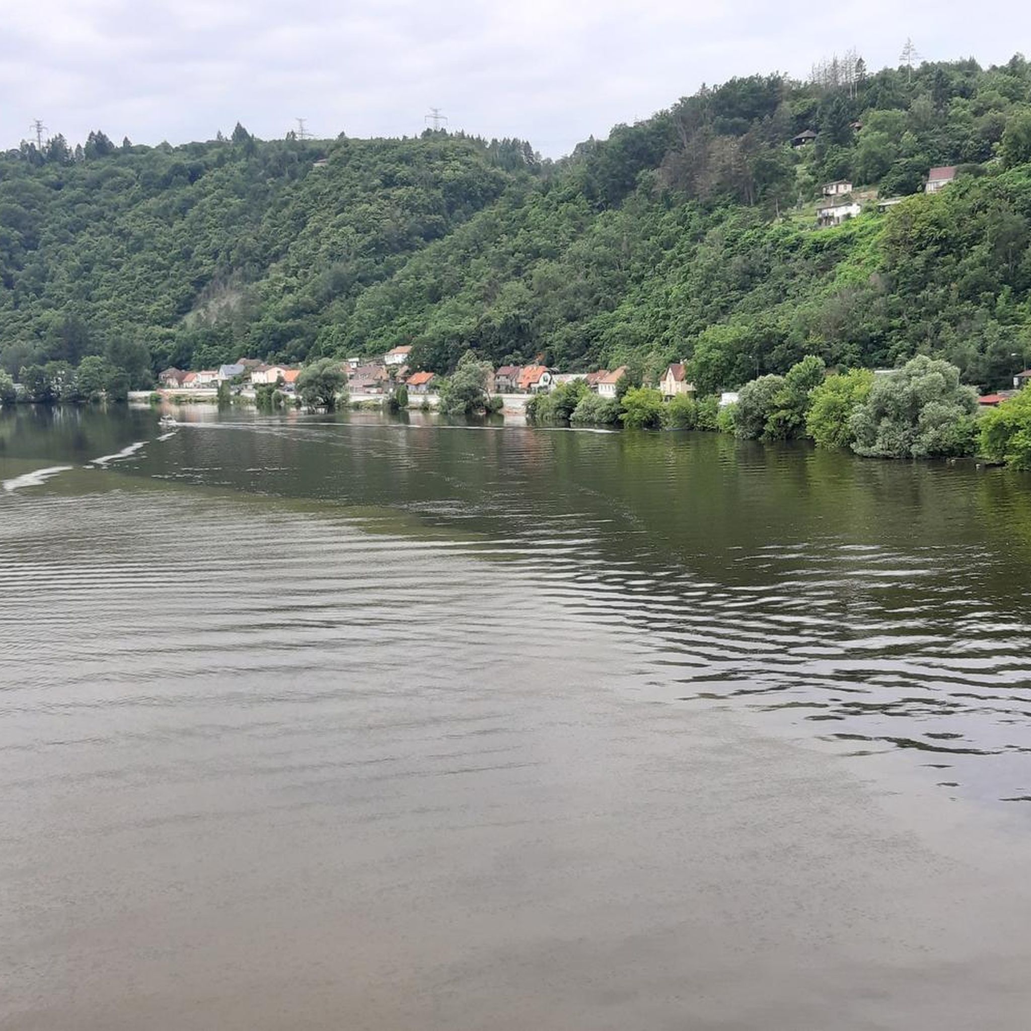
The rapids in the section of the Vltava between Štěchovice and Slapy, where the river flows through a deep rocky valley, were called the Svatojánské prostřed. The name comes from the Baroque statue of John of Nepomuk, a protector against water dangers. Since 1943, the area has been flooded by the Štěchovice reservoir.
5
0
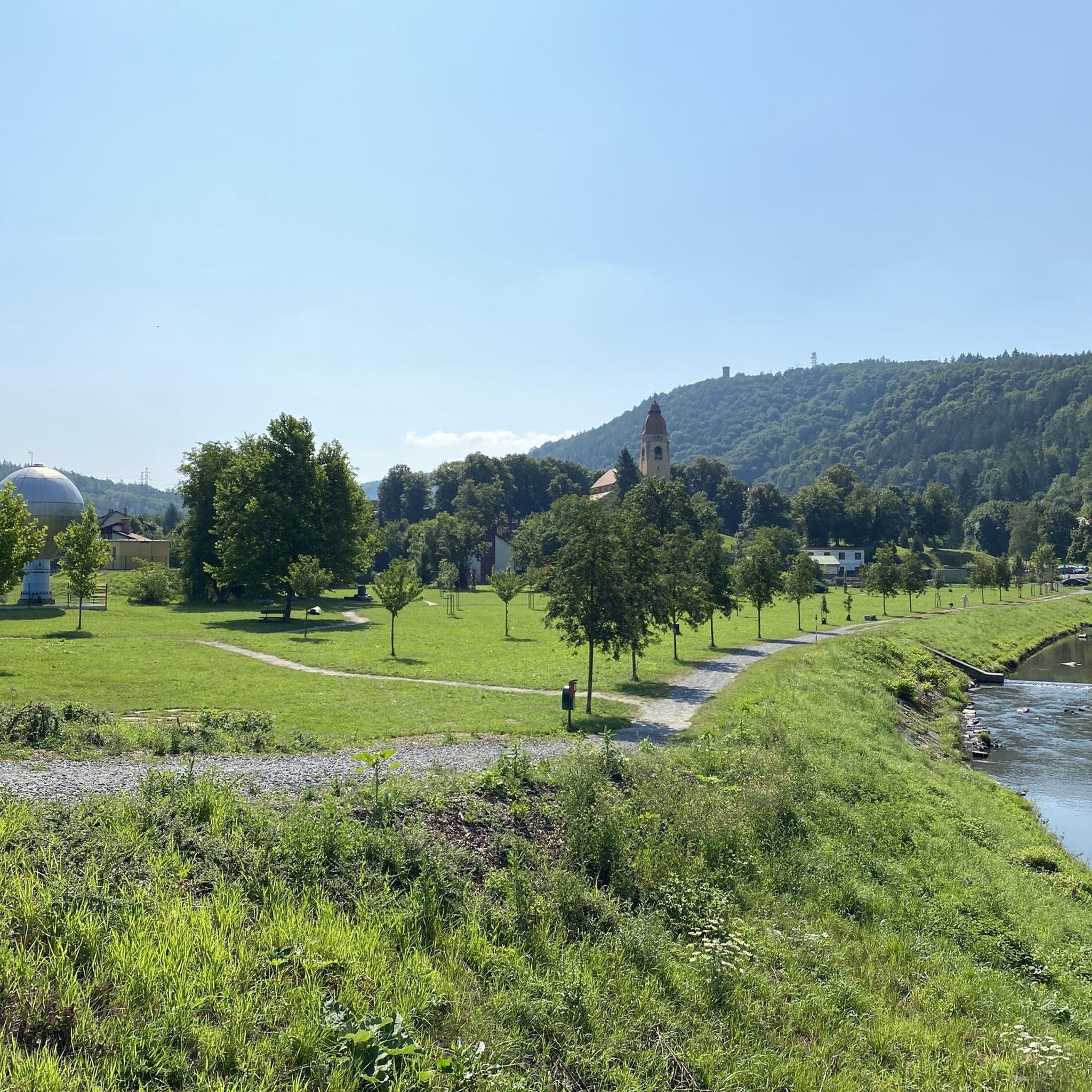
The village of Rabyně is located in the district of Benešov, region of Středočeský. 292 inhabitants live here. The village also includes the villages of Blaženice, Loutí, Měřín and Nedvězí. At a distance of 16 km to the south is the city of Sedlčany, 18 km to the east is the city of Benešov, 20 km to the west is the city of Dobříš and 26 km to the northeast is the city of Říčany. The right side of the Slap dam falls on the territory of Rabyně. On the way from the dam to Ztracen, we came across the final car stop - Točna U Mařeny.
2
0

Beautiful view of the Vltava
2
0

Beautiful piece of nature, definitely worth a visit.
1
0
This is the beginning of the route to "the horseshoe".
2
0

Fantastic route. It took us over 3 hours with our daughters aged 13 and 11. Beautiful views and fairytale forest. A big 10 for all four of us!
1
0
ダムヴラネでのの人気観光スポット

komootモバイルアプリでインスピレーションを得よう


さらに探索
他の地域の最高のハイキングを見てみましょう。
