ディッケブス池のおすすめランニングルート
4.3
(308)
14,979
ランナー
376
ランニング
ディッケブス池でランニングを楽しめば、このエリアをより深く知ることができます。ランニングに適した美しいルートが見つかるように、komootがディッケブス池でのルートのコレクション全体を評価して選び抜いた、人気ランニングトレイルをご紹介します。ルートをクリックして詳細を表示し、他のユーザーがアップロードした役立つ情報や写真を閲覧しましょう。
最終更新日: 8月 25, 2026
8
ランナー
8.69km
00:56
20m
20m
中程度のジョギング. ある程度のフィットネスレベルが必要です。 全般的に舗装された状態です。あらゆるスキルレベルに適しています。
4.0
(1)
51
ランナー
6.67km
00:42
20m
20m
中程度のジョギング. ある程度のフィットネスレベルが必要です。 全般的に舗装された状態です。あらゆるスキルレベルに適しています。

無料新規登録
6
ランナー
11.0km
01:09
50m
50m
中程度のジョギング. ある程度のフィットネスレベルが必要です。 全般的に舗装された状態です。あらゆるスキルレベルに適しています。
4
ランナー
10.9km
01:09
30m
30m
中程度のジョギング. ある程度のフィットネスレベルが必要です。 全般的に舗装された状態です。あらゆるスキルレベルに適しています。
6
ランナー
11.6km
01:14
40m
40m
中程度のジョギング. ある程度のフィットネスレベルが必要です。 全般的に舗装された状態です。あらゆるスキルレベルに適しています。
さらに多くのルートや他のユーザーのおすすめ情報を確認できます。
無料新規登録
すでにアカウントをお持ちですか?
おすすめのツアーは他のkomootユーザーが実際に経験した何千ものアクティビティに基づいています。
無料アカウントで今日から始めよう
次の冒険が待っています。
ログインまたは登録

コミュニティからのヒント

The current neo-Gothic church, with three naves, was built in 1923 to replace the destroyed church from 1770. The entire village was reduced to ruins during the First World War because it was on an important supply route and was shelled almost daily. The French army used the church as a field hospital during WWI. They dynamited the church tower from 1873 on 14 November 1914 because it served as a target for the German artillery.
0
0

The Kemmelberg, also known as the Kemmel for short, is a hill near the town of Kemmel in the municipality of Heuvelland (West Flanders province) in Belgium. The wooded mountain reaches a height of 154 m, making it the highest hill in the West Flanders province. It is part of a chain of Flemish mountains. There is an early Gothic tower near the top of the hill. The mountain gained particular importance as a strategic military point during the First World War. An obelisk on the western slope of the mountain marks the site of a burial site for French soldiers, and there is a war memorial on the summit itself. The hill and its surroundings are now a scenic and popular tourist destination. The cobblestone climb, which is up to 23% steep, is a highlight of the classic Gent–Wevelgem cycling route.
4
0


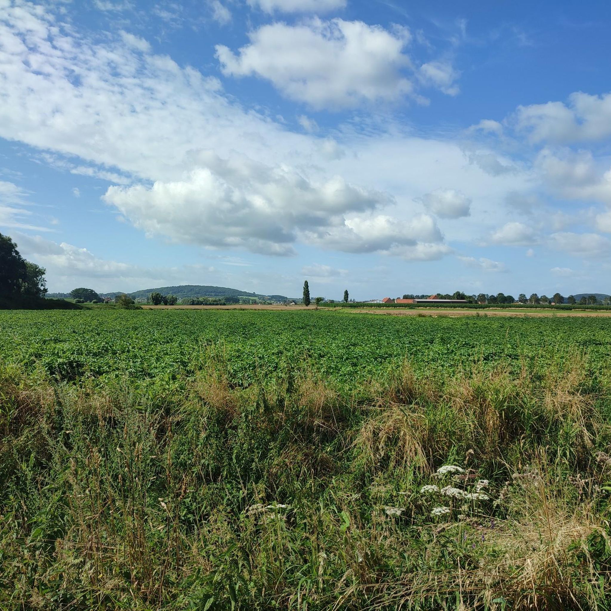
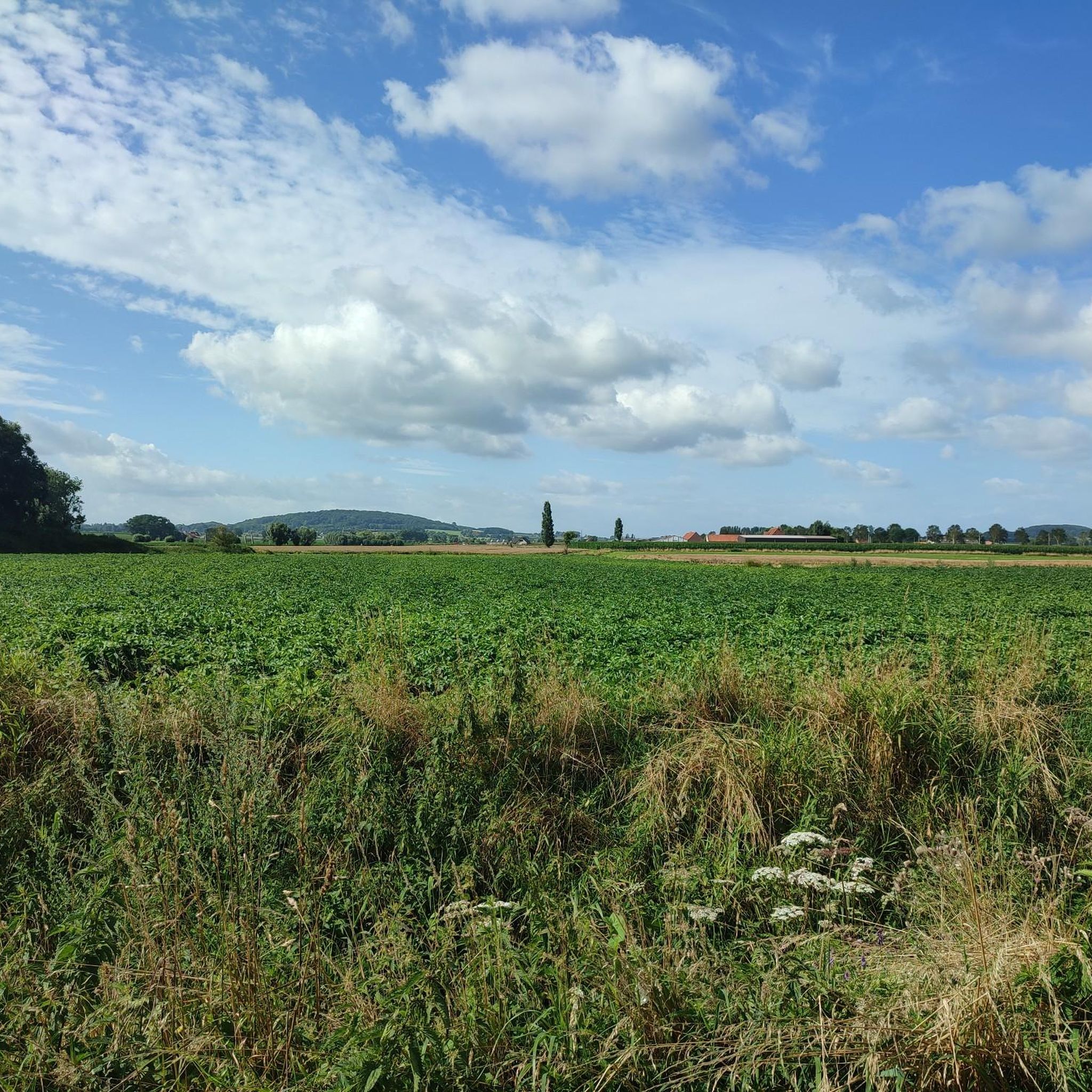
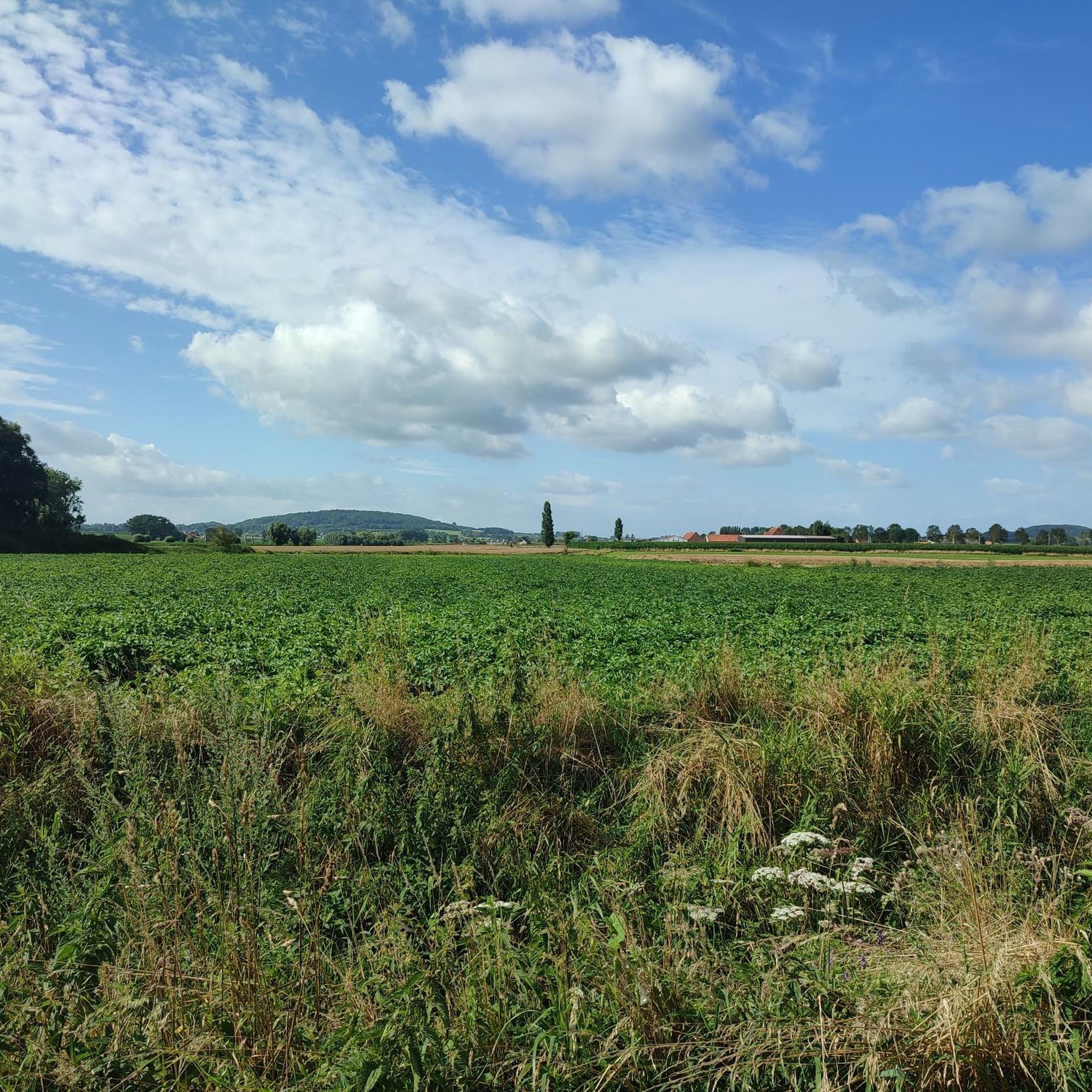
Dikkebusvijver is a beautiful pond located between Ypres and Heuvelland, in the southwest of West Flanders. The Kemmelberg, the Rodeberg and the Scherpenberg are nearby. And just across the river France with the Zwarteberg and the Catsberg. Typical of the region are the wide panoramas, the many war memories (military cemeteries, bunkers and bomb craters) and the rural villages where everyone still knows everyone. The 36 hectare pond is a water sports paradise, the wells around it a true adventure and cross festival. Dikkebusvijver is only 4 km from the center of Ypres and 5 km from the Kemmelberg. It is the starting point of many walking and cycling routes. This is where our outdoor center is located with changing rooms and showers and many covered areas, so that we can also be active indoors in bad weather and in winter. Source: https://www.sporttrack.be/dikkebusvijver.html
2
2
Dikkebusvijver is a beautiful pond located between Ypres and Heuvelland, in the southwest of West Flanders. Nearby are the Kemmelberg, the Rodeberg and the Scherpenberg. And just about the schreve France with the Zwarteberg and the Catsberg. Typical for the region are the wide panoramas, the many war memories (military cemeteries, bunkers and bomb craters) and the rural villages where everyone still knows everyone. The 36-hectare pond is a water sports paradise, the wells around it a true adventure and cross country festival. Dikkebusvijver is only 4 km from the center of Ypres and 5 km from the Kemmelberg. It is the starting point of many hiking and cycling routes. Here is our outdoor center with changing rooms and showers and many covered areas, so that we can also be active indoors in less weather and in winter. Source: https://www.sporttrack.be/dikkebusvijver.html
3
0
Historical information: About 2,500 years ago, a Celtic community belonging to the Hallstatt culture settled on the Kemmelberg. The Celts built a fortress and maintained a trading relationship with the Romans. During the First World War, the Kemmelberg was a strategic point and it was heavily fought over by the warring parties. During the Spring Offensive of 1918, German troops under General Friedrich Bertram Sixt von Armin took possession of the Kemmelberg on 25 April. The next day a French counter-attack took place, but the German troops advanced to Dikkebusvijver. On April 29, the German advance was halted, the fighting continued until the end of July 1918. On September 5, the Kemmelberg was recaptured by the Allied troops with the help of the Americans. After the fighting, the hill was bare and it was replanted with deciduous trees. Archaeological excavations have been carried out since the 1960s. On the western flank is a French mass grave containing the remains of more than 5000 French soldiers who fell in the First World War. At the top is a memorial column, the Monument Aux Soldats Français, erected in 1932 and inaugurated by General Lacappelle. The column is 17 meters high and depicts the Roman goddess of victory Victoria. The monument is called "Monument Aux Soldats Francais" and is popularly called "Den Engel". Originally the column was 18 meters high, on top of the column was a laurel wreath with a French soldier's helmet on top, which however disappeared after a lightning strike in the 1970s. On the southern edge is the command bunker of Kemmel, a former command bunker from the Cold War of the Belgian army, which has been converted into a war museum since the end of October 2009.
1
2
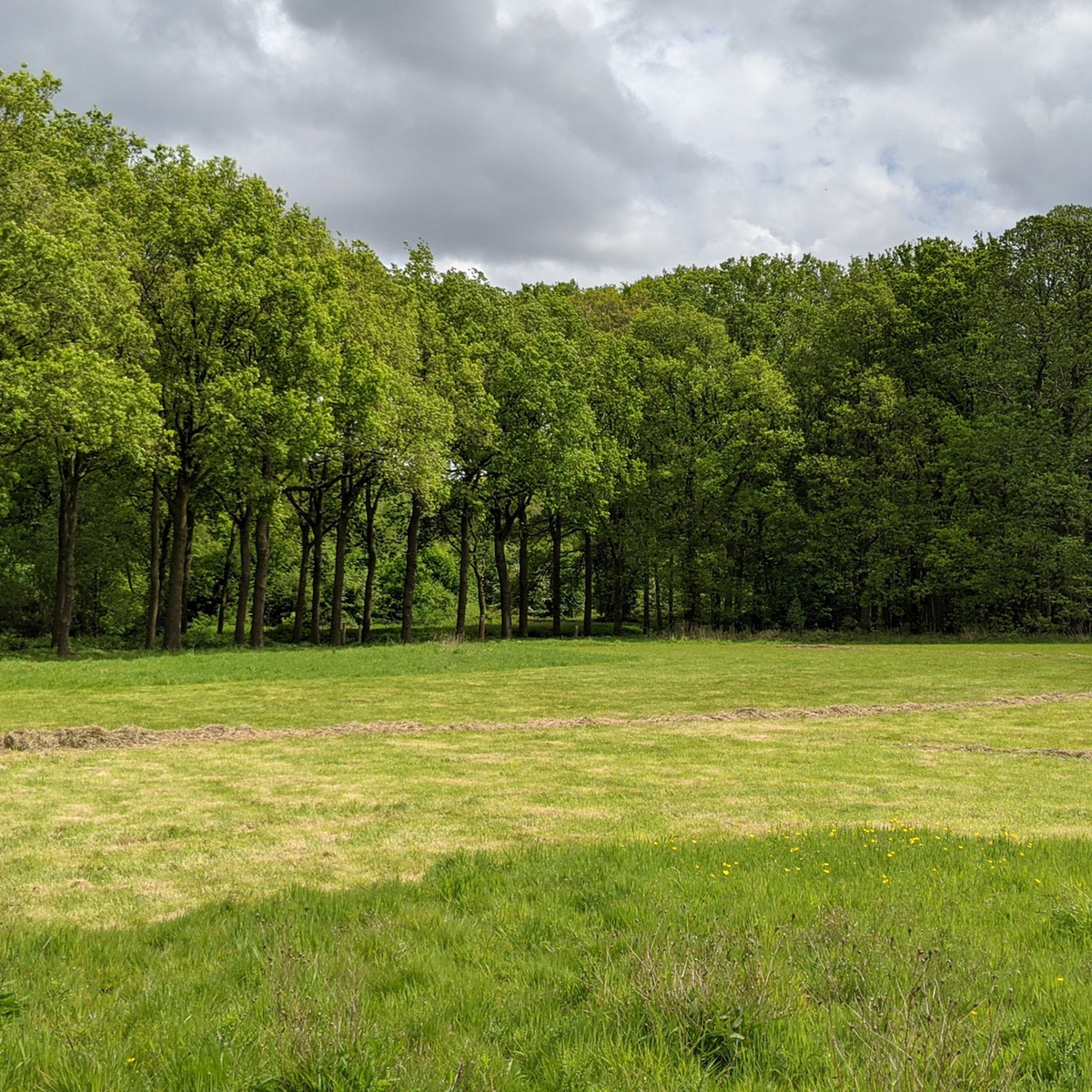
Old pond that supplies fresh water to the city of Ypres. Some explanation: The Dikkebusvijver is a pond near the village of Dikkebus, south of the city of Ypres. On July 23, 1310, the City of Ypres received permission from the Count of Flanders to dig the pond next to the Zillebeke Pond to ensure that there was sufficient water in the city for fulling and dyeing sheets. The pond was created by damming the Kemmelbeek and was excavated on the grounds of the parishes of Vlamertinge, Dikkebus and Voormezele. The expropriation of the necessary land was arranged by the city of Ypres and took about ten years. The thirty-six hectare pond was not completed until around 1323. The pond provided and supplies Ypres with drinking water, previously via the Ypres canals and later via a system of oak pipes. Since 1926, this has been done via a modern pumping station. The Zillebekevijver and Bellewaardevijver were also created in this way. In addition to providing drinking water, the pond also has a recreational function. Enjoy the shady banks at a moderate speed.
5
1
ディッケブス池でのの人気観光スポット

komootモバイルアプリでインスピレーションを得よう


さらに探索
他の地域の最高のランニングトレイル & ルートを見てみましょう。
