リフル湖のおすすめウォーキング&ハイキングルート
4.7
(2750)
17,078
ハイカー
115
ハイキング
リフル湖周辺でおすすめのハイキングやウォーキングをお探しですか?リフル湖が誇るこの美しい湖周辺のルートを集めたkomootコレクションを参考にしてください。 ここでは、リフル湖周辺の人気ハイキングコースを紹介しています。魅力的なルートが見つかったら、さっそく冒険に出かけましょう。
最終更新日: 8月 4, 2026
4.9
(118)
702
ハイカー
18.0km
06:19
380m
970m
Hike the difficult Fuldaer Höhenweg to Taschachhaus, covering 11.2 miles with 1243 feet of gain in 6 hours and 18 minutes.
4.7
(300)
1,301
ハイカー
10.5km
03:51
400m
400m
中程度のハイキング. ある程度のフィットネスレベルが必要です。 全般的に進みやすいルートです。安定して歩行できる技術が必要です。

無料新規登録
4.8
(87)
761
ハイカー
4.71km
01:26
130m
130m
中程度のハイキング. あらゆるフィットネスレベルに適しています。 全般的に進みやすいルートです。安定して歩行できる技術が必要です。
4.2
(6)
43
ハイカー
12.0km
06:35
1,130m
1,130m
難しいハイキング. 標準以上のフィットネスレベルが必要です。 安定して歩行できる技術、丈夫な靴、高標高地での登山経験が必要です。
5.0
(2)
17
ハイカー
4.54km
01:57
320m
320m
中程度のハイキング. ある程度のフィットネスレベルが必要です。 全般的に進みやすいルートです。安定して歩行できる技術が必要です。
さらに多くのルートや他のユーザーのおすすめ情報を確認できます。
無料新規登録
すでにアカウントをお持ちですか?
おすすめのツアーは他のkomootユーザーが実際に経験した何千ものアクティビティに基づいています。
無料アカウントで今日から始めよう
次の冒険が待っています。
ログインまたは登録

コミュニティからのヒント

Up until the trail is closed from Riffelsee, no via ferrata set is necessary. However, be aware that the trail can be a bit wet due to a small stream. Otherwise, there are good iron footholds and steel cables. You'll find yourself in a small, narrow gully, and with surefootedness, you can walk it without a set. The section isn't particularly long either!
1
0
We hiked from Riffelsee to the Kaunergrat Hut along the Cottbus High Trail. However, this trail is currently partially closed, and a new, small detour/alternative route has been created due to a landslide. Please be sure to keep this in mind when planning your hike and the duration of your hike.
1
0

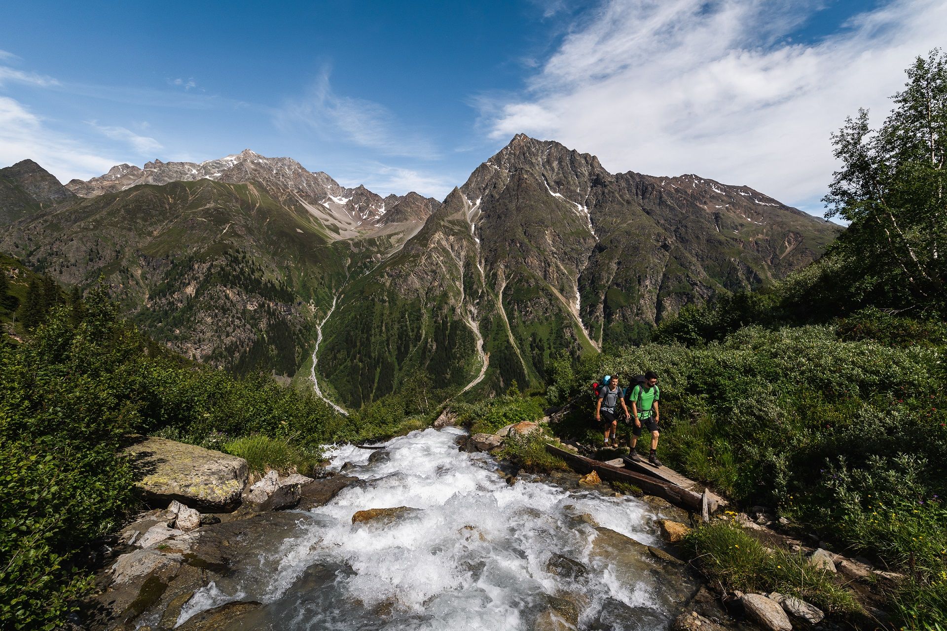
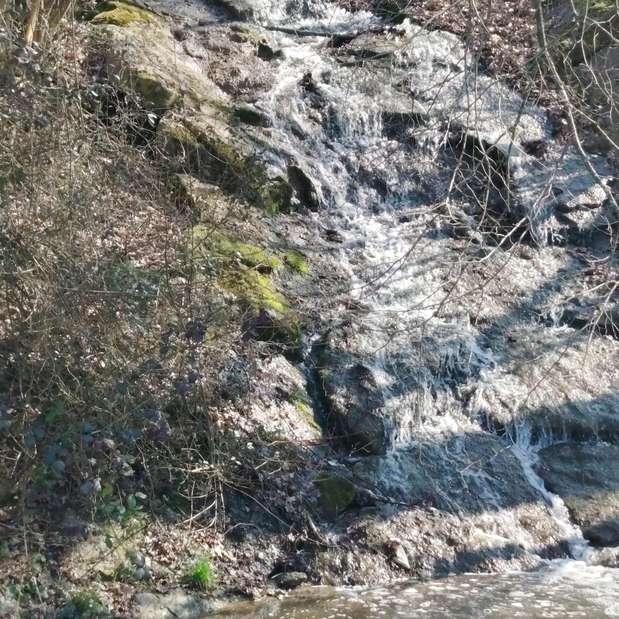
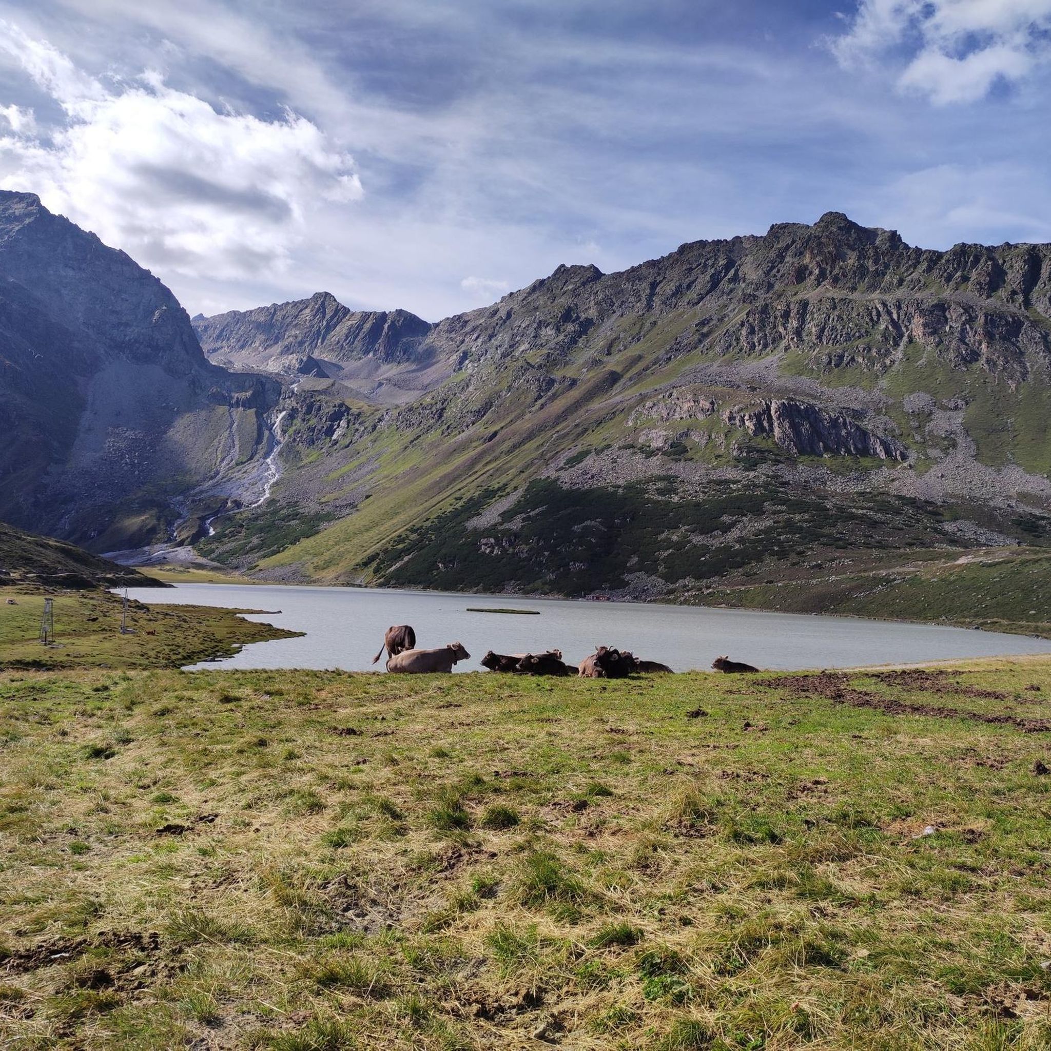
From Lake Rifflesee, the trail continues along the stream up to the glacier (or rather, its remnants). The terrain rises several times in a series of steps, revealing several waterfalls along the route.
1
0
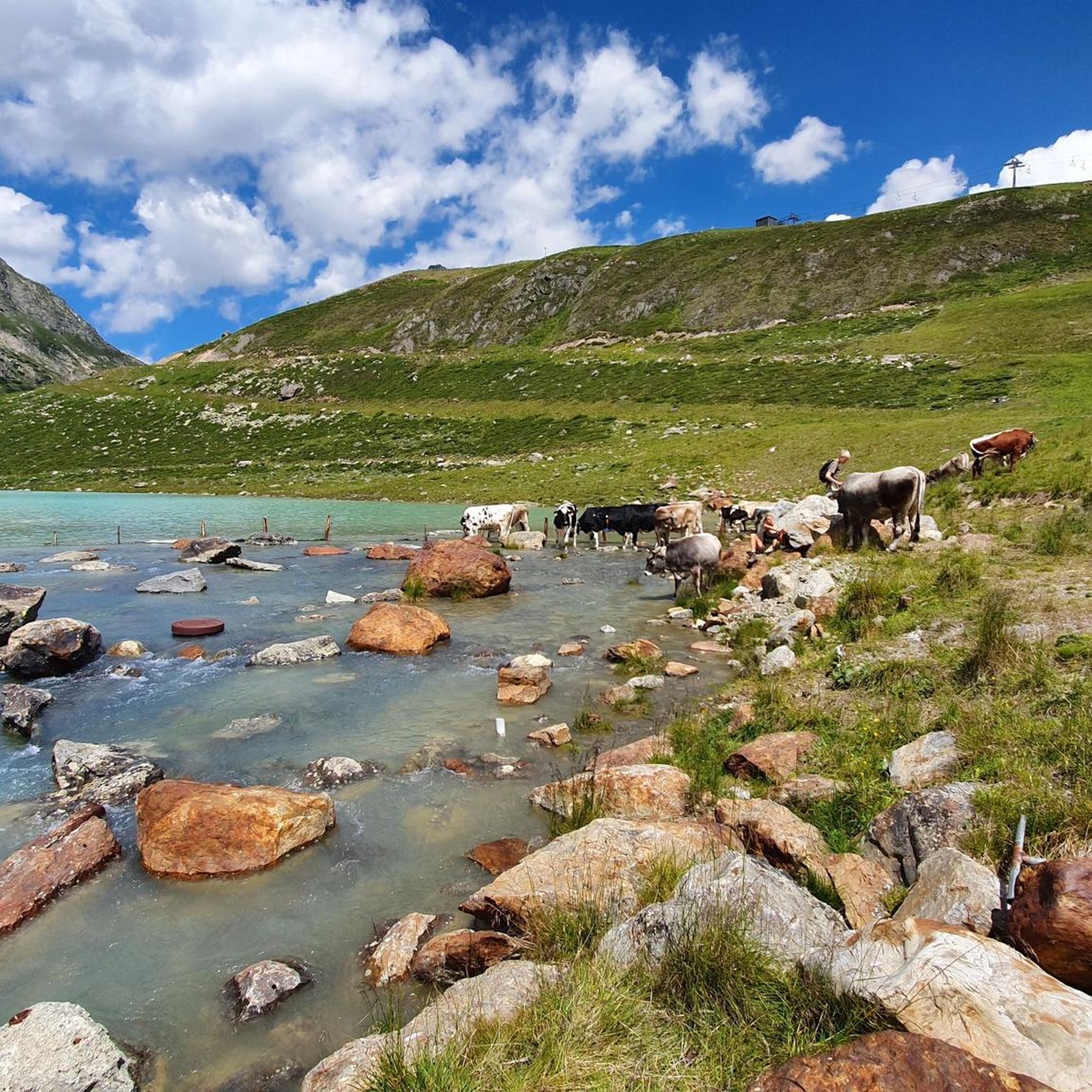
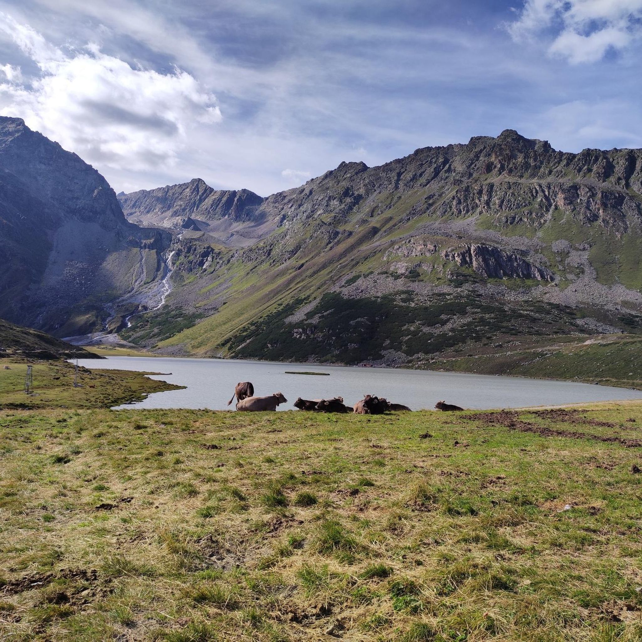
Bicycles can be rented from the valley station of the Taschachhaus cable car. They cost €15 per bike. This makes the 7km return to Mandarfen quick. The route is very steep and easy to cycle. The return journey is along a well-maintained gravel road. It's important to watch out for the cows, as they graze in the pastures and may even stand on the path.
1
0


The path to the hut leads past it, wonderful view
0
0

Is a via ferrata set required on this section? At least for safety on the steep section?
0
1

Only climb with good equipment.
0
0

komootモバイルアプリでインスピレーションを得よう


さらに探索
他の地域の最高のハイキングを見てみましょう。
