オレンジ郡のおすすめウォーキング&ハイキングルート
4.7
(527)
6,549
ハイカー
188
ハイキング
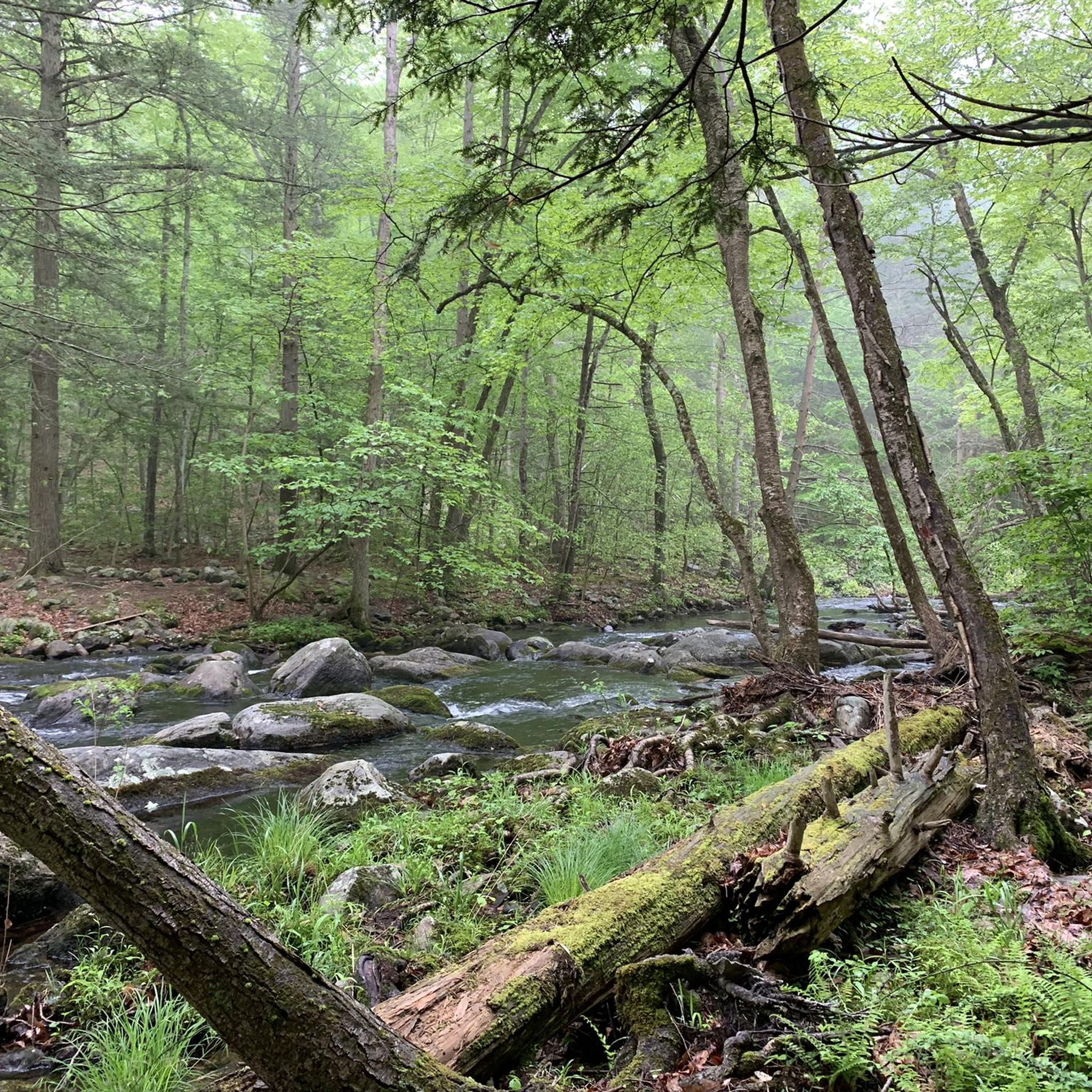
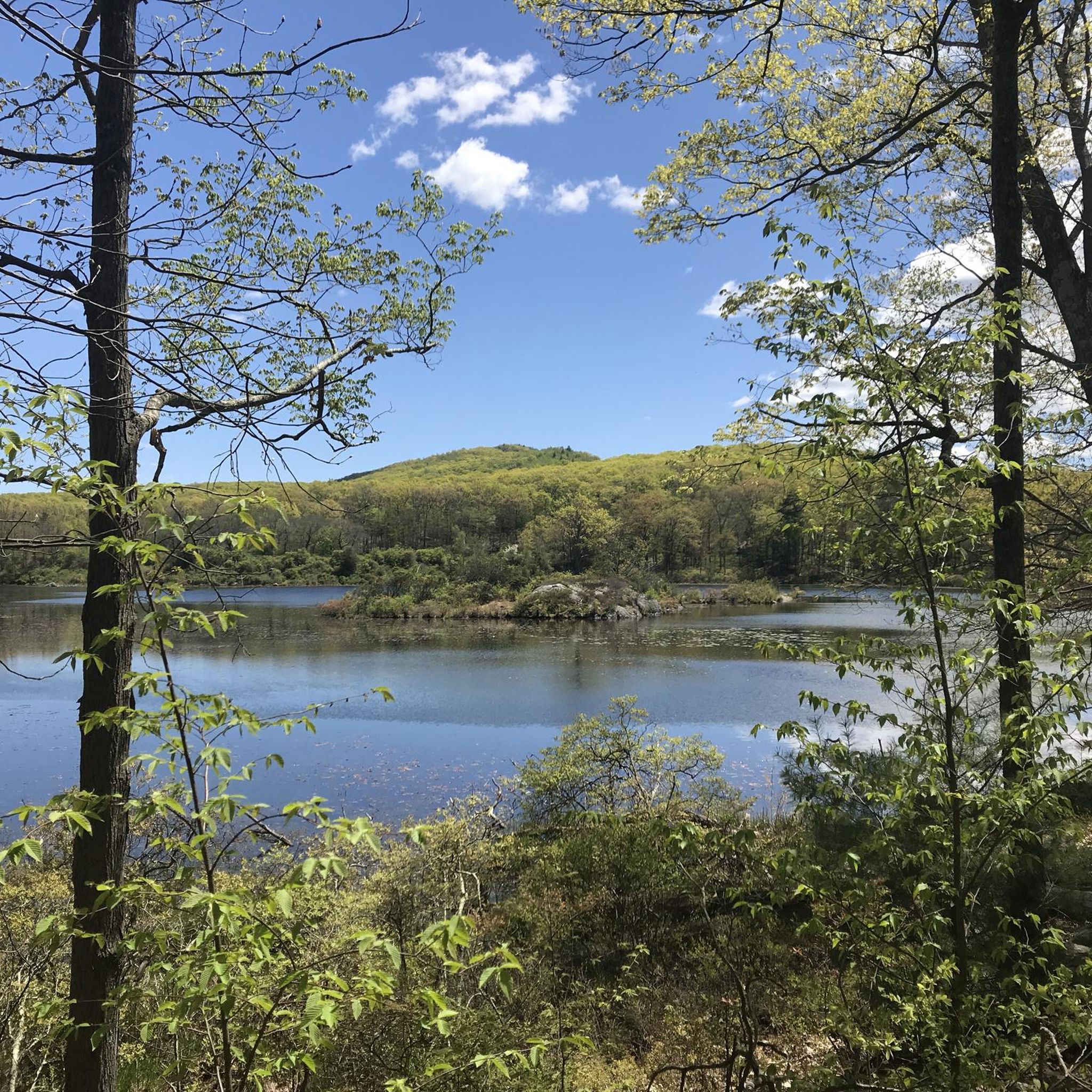
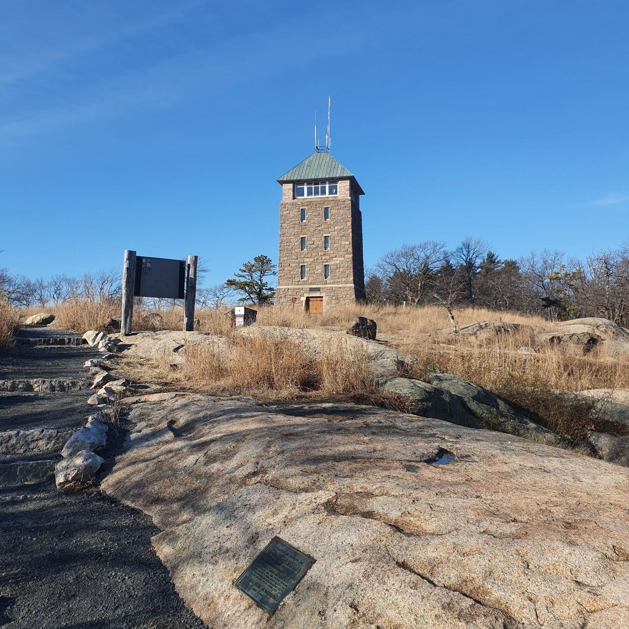
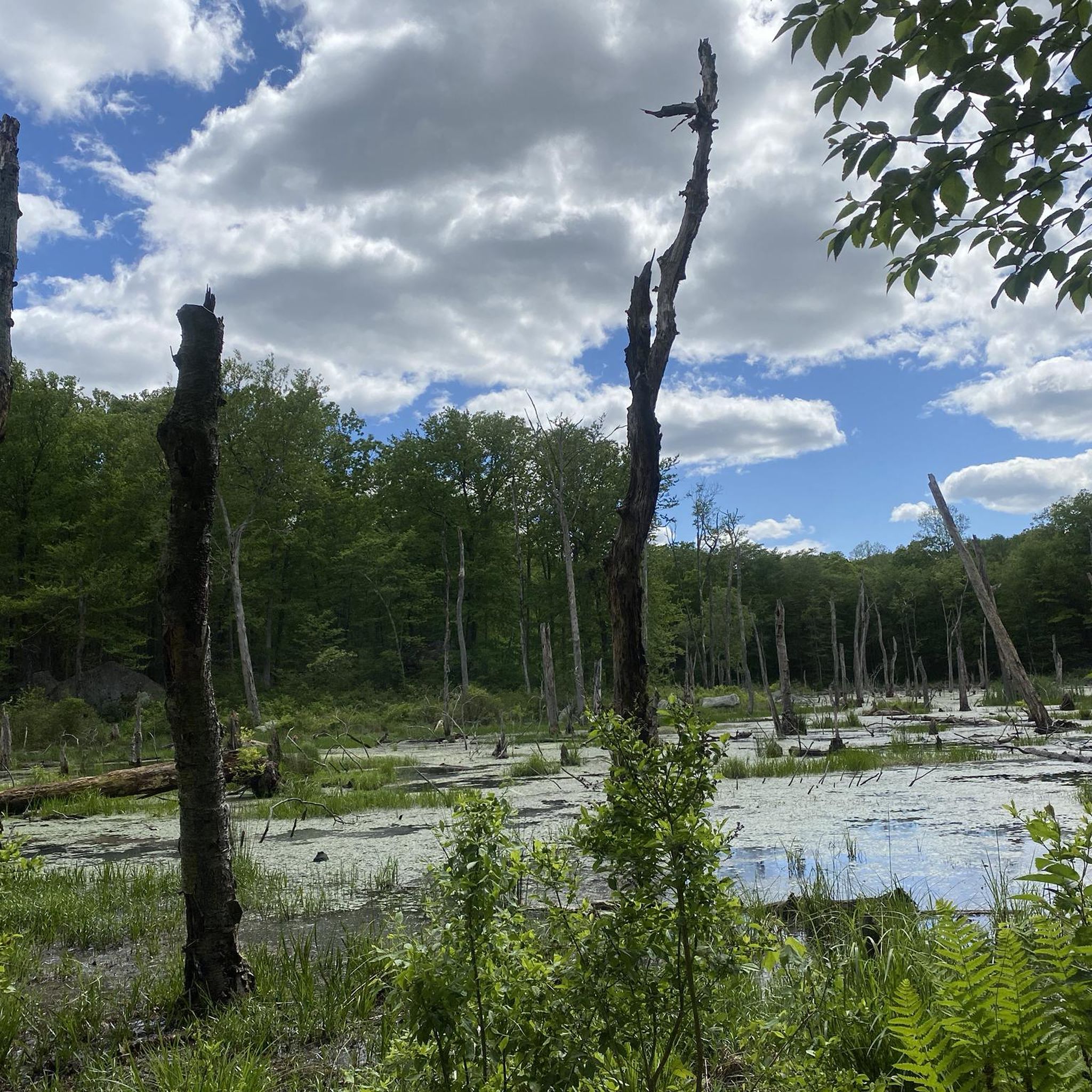
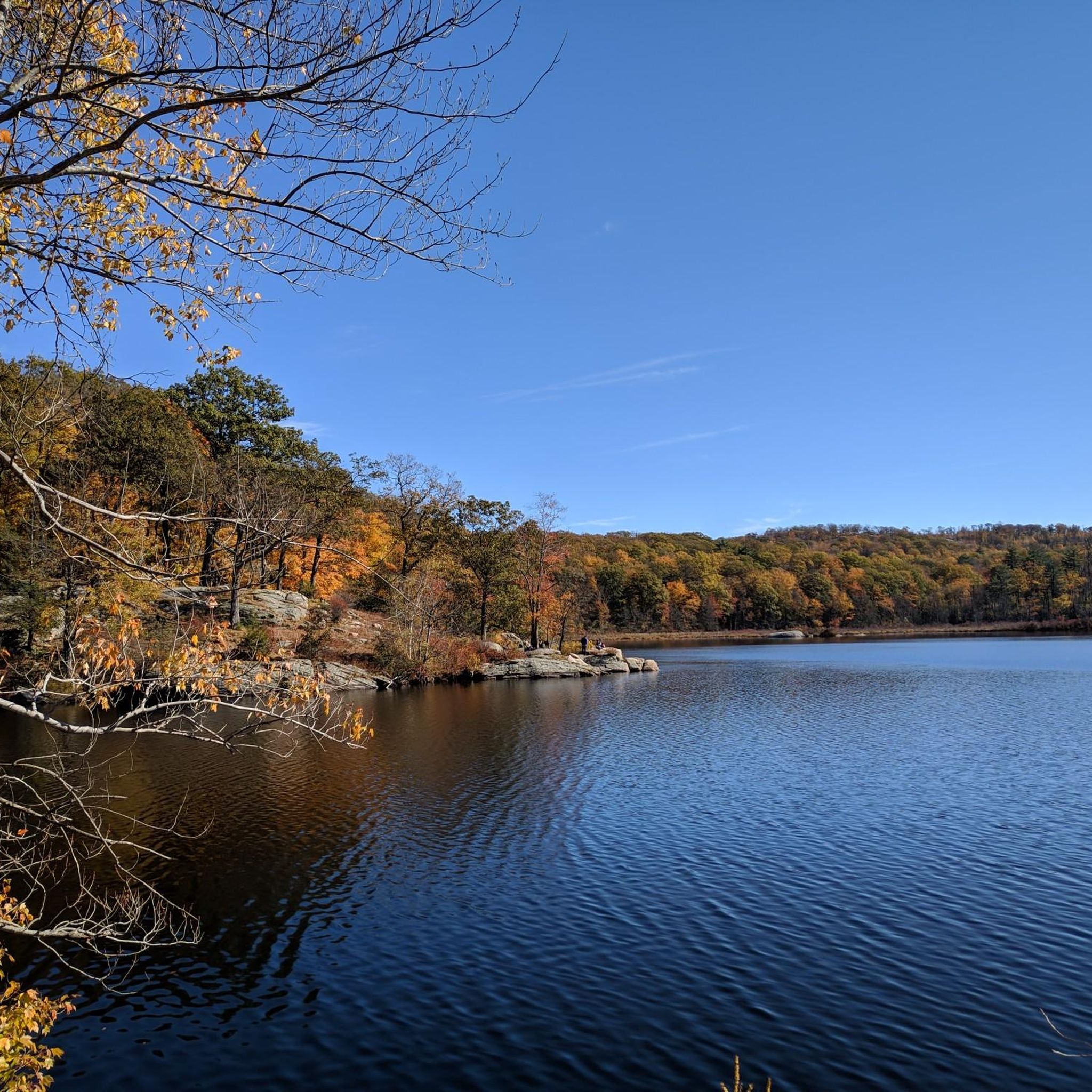
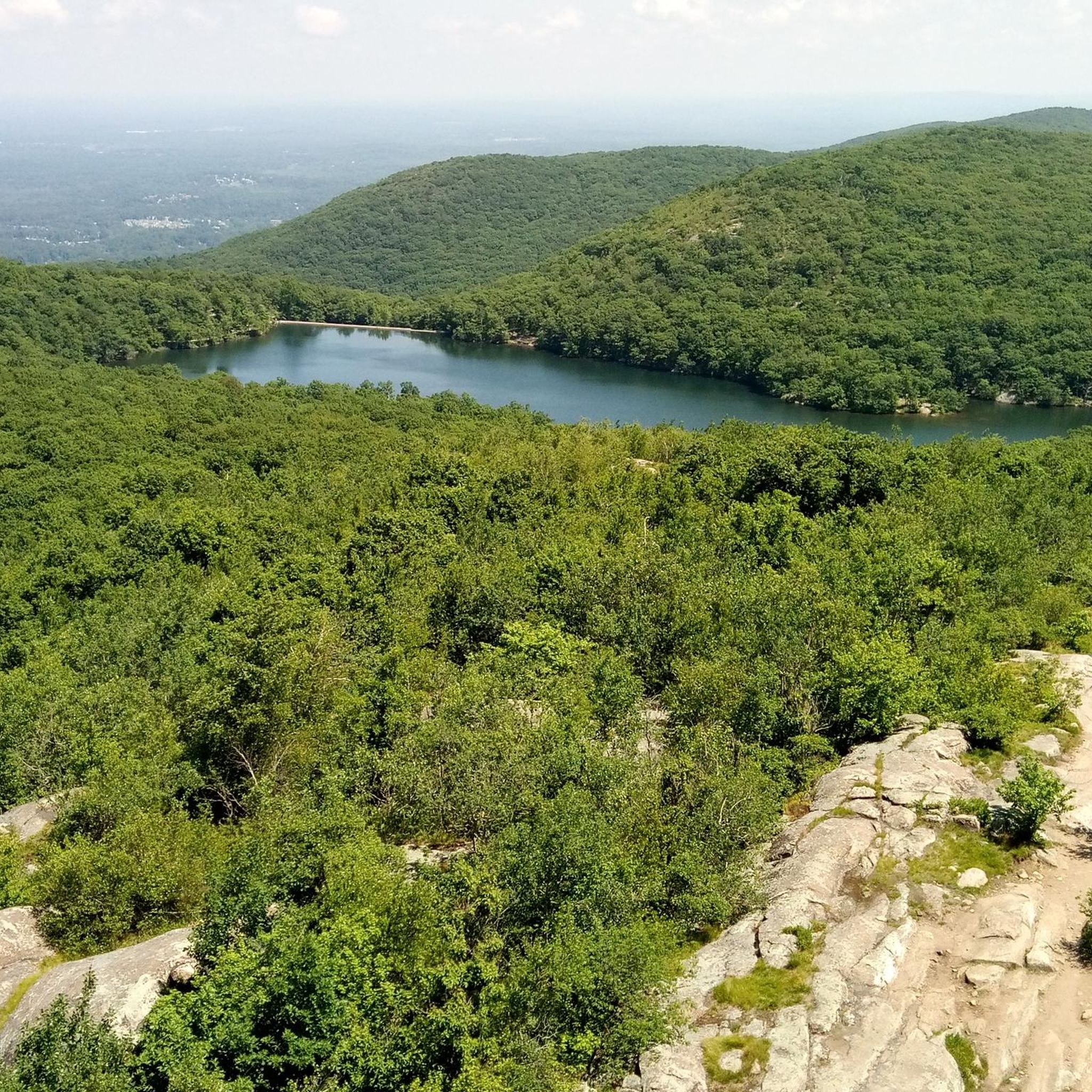
オレンジ郡でのハイキングは、ハドソンバレー内の森林に覆われた山々、景色の良い湖、川の峡谷が特徴です。この地域は多様な地形を提供しており、ハリマン、ストームキング、ベアマウンテンなどの州立公園を通るトレイルがよくあります。これらのエリアには、自然の水域周辺のより穏やかな小道とともに、周囲の景色のパノラマビューを提供する標高があります。
オレンジ郡の最高のハイキングトレイル
- 最も人気のあるハイキングルートは、ストームキングマウンテンループ — ストームキング州立公園で、所要時間1時間9分の2.3マイル(3.8 km)のトレイルです。この簡単なルートからは、ハドソン川と周囲の丘の景色を楽しめます。
- 地元のハイカーに人気のもう一つのルートは、ホーゲンキャンプマウンテン&スカンナタティ湖ループ — ハリマン州立公園で、適度な5.2マイル(8.4 km)のトレイルです。このトレイルは、森林地帯を抜け、スカンナタティ湖のそばを通り、適度な標高の上昇があります。
- 地元のハイカーに愛されているのは、ボールドロックスシェルター経由ロングパスループ — ハリマン州立公園で、5.8マイル(9.4 km)のトレイルは、変化に富んだ森林地帯を通り抜け、通常約2時間35分で完了します。
- オレンジ郡でのハイキングは、森林に覆われた山々、静かな湖、川の峡谷によって定義されます。このネットワークは、簡単なループからより挑戦的な登りまで、さまざまなレベルの能力に対応するオプションを提供します。
- オレンジ郡のルートは、komootコミュニティから高く評価されており、140件以上のレビューで平均4.8つ星を獲得しています。1900人以上のハイカーがkomootを使用して、オレンジ郡の多様な地形を探索しています。
最終更新日: 10月 11, 2026
4.5
(2)
52
ハイカー
5.93km
02:04
350m
310m
Embark on a moderate hike up Storm King Mountain via Bayview Avenue, a route that spans 3.7 miles (5.9 km) and climbs 1134 feet (346 metres). This journey typically takes…
5.0
(3)
38
ハイカー
5.53km
01:35
130m
130m
Embark on an easy hike along the Pine Swamp Mountain and Hogencamp Mountain Loop, a route that spans 3.4 miles (5.5 km). You will experience a varied landscape, moving from…

4.8
(4)
21
ハイカー
13.3km
03:51
340m
340m
Embark on a moderate hike around Lake Skemonto, a rewarding route spanning 8.2 miles (13.3 km) within Harriman State Park. You will encounter varied terrain, from smooth dirt paths to…
5.0
(3)
29
ハイカー
5.21km
01:25
80m
80m
Embark on the Pine Swamp Loop for an easy hiking experience through Harriman State Park. This 3.2-mile (5.2 km) route guides you through diverse landscapes, from open woodlands to hilly…
5.0
(3)
20
ハイカー
13.4km
03:57
380m
390m
The Tuxedo-Mount Ivy to Triangle Loop offers a diverse and engaging hiking experience through the southern reaches of Harriman State Park. You'll navigate varied terrain, from rocky paths to potentially…
5.0
(2)
17
ハイカー
20.1km
06:04
700m
500m
The Ramapo Dunderberg and Triangle Trail Loop offers a challenging and scenic journey through Harriman State Park. You'll navigate rugged terrain, including numerous rock scrambles, and be treated to diverse…
5.0
(1)
22
ハイカー
11.7km
03:57
460m
410m
Embark on the Schunemunk Mountain via Western Ridge Trail Loop, a moderate hiking route spanning 7.3 miles (11.7 km) with an elevation gain of 1499 feet (457 metres). You can…
5.0
(3)
21
ハイカー
16.2km
04:36
350m
380m
Embark on the Lake Skannatati and Island Pond Loop, a moderate hike that spans 10.1 miles (16.2 km) and climbs 1137 feet (347 metres) over approximately 4 hours and 36…
4.0
(2)
17
ハイカー
6.92km
02:07
240m
230m
The Claudius Smith's Den Short Loop is a moderate hiking trail that packs a punch with its varied terrain and historical intrigue. You'll navigate rocky paths and uphill sections through…
14
ハイカー
4.03km
01:01
10m
10m
The Liberty Loop Trail offers an easy 2.5-mile (4.0 km) hike through managed wetland units, perfect for a relaxing hour outdoors. You'll experience a gentle 20 feet (6 metres) of…
さらに多くのルートや他のユーザーのおすすめ情報を確認できます。
すでにアカウントをお持ちですか?
おすすめのツアーは他のkomootユーザーが実際に経験した何千ものアクティビティに基づいています。




コミュニティからのヒント

No, it's not "the" intersection in NYC, but a rock in Harriman State Park, NY. It's well-known/named because it's prominently located at the junction of several hiking trails, including the Long Path, Arden-Surebridge (red triangle/white), and Ramapo-Dunderberg (red dot/white). It's now a landmark, where hikers can access the Appalachian Trail via various routes. A nice stop in the middle of the woods.
0
0
The Lemon Squeezer is a small but famous narrow rock passage on the Appalachian Trail (AT) in Harriman State Park, NY, near Island Pond. Hikers on the Appalachian Trail (AT) aren't the only ones who have to (or can) squeeze through a narrow gap between the rocks. In winter, when ice is present, it won't always be possible. For those who don't want to squeeze through, there's a fun climbing option to the left of the rock formation or a slightly less difficult detour. This spot is sure to be unforgettable.
0
0

Covering 43 acres with an average depth of 15 feet, Lake Askoti is a popular spot for fishing. The lake is stocked with hundreds of Brown Trout which means anglers have a good chance of making a catch at one of the many access points along Seve Lakes Drive.
0
0

A beautiful lake for a relaxing break. The lake is great for swimming, fishing, or simply enjoying nature. There are nearby picnic areas.
0
0

Schunnemunk Mountain reaches up to an elevation of 1,664 feet, but the best views come just after the summit. Turn down the spur trail named "Monoliths Trail" and walk to the end (it's just a couple hundred feet long). This summit has a huge clearing that offers pretty expansive views.
0
0
The Wallkill Wildlife Refuge features a viewing area in the main parking lot along with a well-kept double-track hiking trail that circles around the property. You can easily connect to the Appalachian Trail that passes through the nearby Pochuck Mountain State Forest on its way east.
0
0


This elevated observation platform offers an ideal vantage point to observe the numerous bird species in the preserve. During the spring and fall migrations, you can see thousands of waterfowl, while songbirds and wading birds, such as the great blue heron and indigo bunting, are common in the summer. The fall sparrow migration is awe-inspiring, and during winter, it is prime time to spot raptors such as the northern harrier, rough-legged hawk and short-eared owl.
0
0
オレンジ郡の人気観光スポット

komootモバイルアプリでインスピレーションを得よう


探していたものは見つかりませんでしたか?
オレンジ郡の下にある他のハイキングをチェックして、目的地で完璧なルートを見つけましょう。
さらに探索
他の地域の最高のハイキングを見てみましょう。
