リバーサイド郡の絶景の山頂・トップ20
絶景を目指して登るのであれ、達成感のために登るのであれ、山頂を訪れることで、リバーサイド郡の美しい自然をもっと満喫することができます。20
もの選択肢の中から、制覇する山頂を決めるのは簡単ではありません。スムーズに次の冒険で目指す山頂を選べるように、リバーサイド郡の素晴らしい山頂をこのガイドにまとめました。
最終更新日: 10月 23, 2026
サンハシント・ピーク
ハイライト • 山頂
役立つ情報 は

マストドン・ピーク
ハイライト • 山頂
役立つ情報 は
今すぐサインアップして、こんな場所を発見しよう
最高のシングルトラック、ピーク、その他のエキサイティングなアウトドアスポットのおすすめを受け取ろう。
マウント・ルビドー頂上と十字架
ハイライト • 山頂
役立つ情報 は

ライアン山からの眺め
ハイライト • 展望台
役立つ情報 は
タキウィッツ・ピーク
ハイライト • 山頂
役立つ情報 は
ユーレカ・ピーク
ハイライト • 山頂
役立つ情報 は
サン・ハシント・サミット・ハット・シェルター
ハイライト • 山小屋
役立つ情報 は
スーサイド・ロック
ハイライト • 山頂
役立つ情報 は

ボックススプリングス・マウンテン・ピーク
ハイライト • 山頂
役立つ情報 は



コミュニティからのヒント

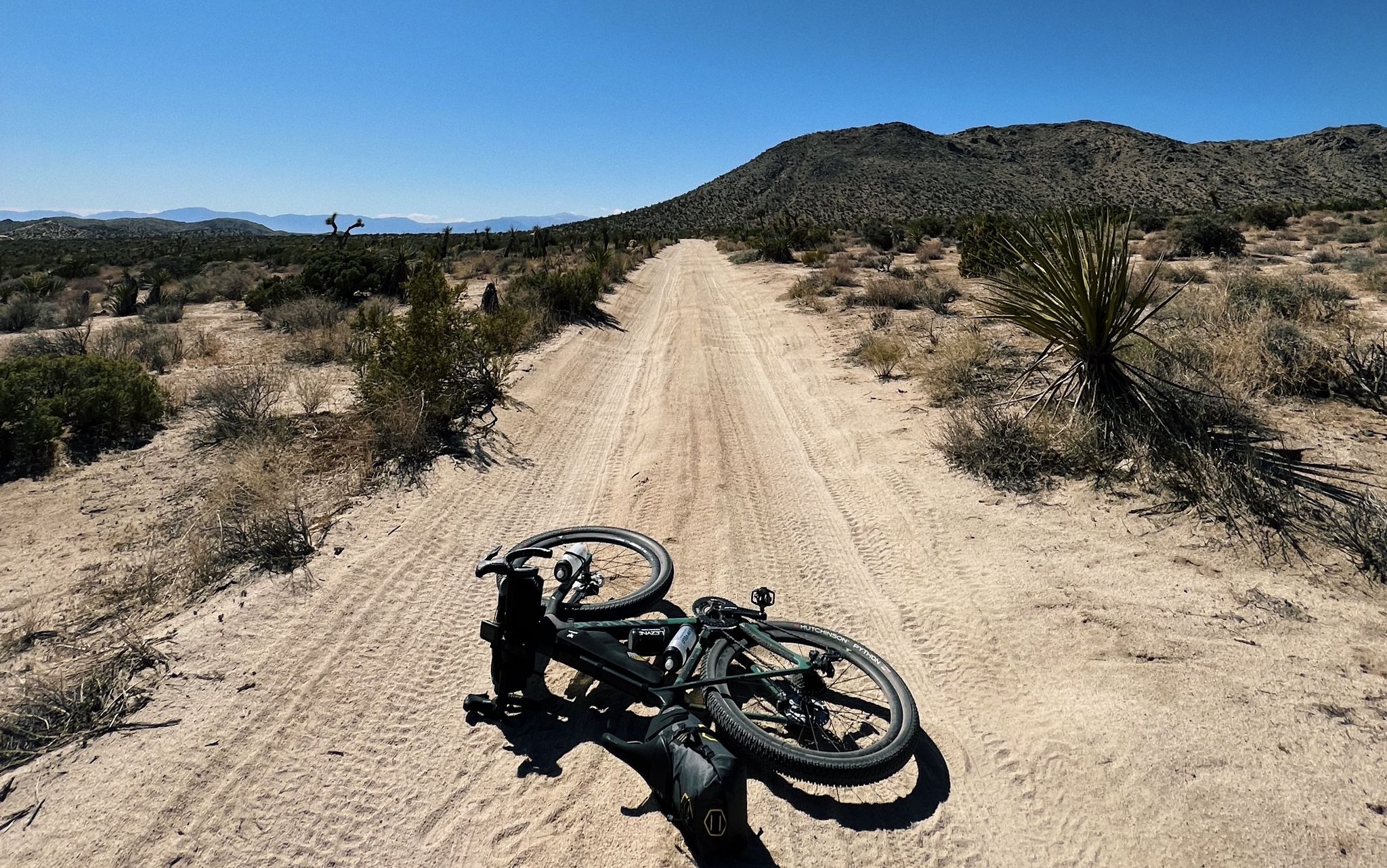
このスクランブル・ピーク(標高1030m)の小さな「ハイライト」です。おそらく(南側の入り口全体と同様に)あまり訪れられないかもしれませんが、間違いなく(短い?)寄り道をする価値があります!最良のルートは、主要な道の分岐から右に山を迂回するもので、登りは小さな岩の隆起の後ろ側でよく見えます。実際には難しくはありませんが、高所恐怖症でないことは間違いなく、摩擦に強いソールの靴も役立ちます。頂上:360°のパノラマビュー - メッカ・ヒルズ近くの大きな塩湖まで...
0
0
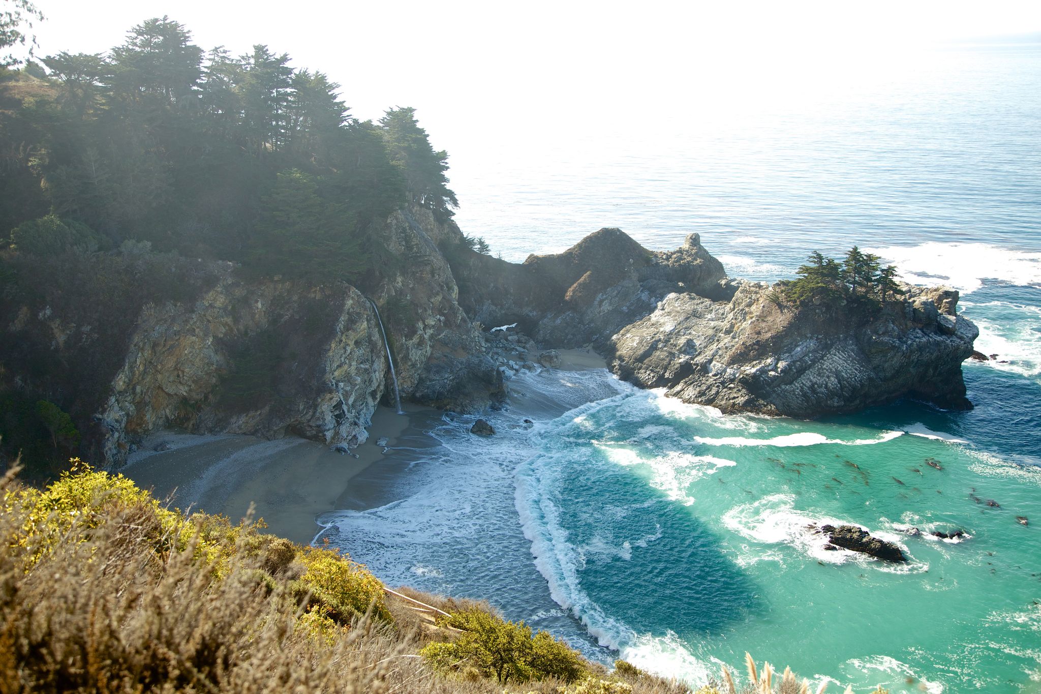
タキイツピーク(2696m)は、サンジャシント山脈にある有名な山頂で、歴史的な「展望台」、いや、1937年に市民保全局によって建設された歴史的な木造塔で、ボランティアが夏の間、森林火災を探すために使用するという任務を負っていました。結局、国立森林全体で最も長く継続的に運用されている防火監視塔のようです。トレイル - サウスリッジトレイル - は、アイディルワイルド近くのサウスリッジロード/フォレストロード5S11から始まります。最後のアクセス道路はかなり荒れた砂利道です。四輪駆動と高い最低地上高はそこで間違いなく有利です。そのような車両を持っている人は、アスファルト道路が砂利道に変わるところに駐車します。そこからまだ3km長くなります(往復)。トレイル自体は、駐車場所によっては、往復11〜14キロメートル(駐車場所による)で、常に歩きやすく、(手前)山頂エリアでは明らかに急になり、日差しにもよりさらされます。歴史的な防火監視塔の頂上に到着すると、周囲の山々や砂漠の素晴らしい360度のパノラマビューが楽しめます...そして、休憩して景色を眺めるためのたくさんの小さな岩があります。行く価値ありです!
0
0
ライアン山(1663m)は、初期の牧場主で鉱山経営者のJ.D.ライアン(1890年代半ばからここに住み、1896年に牧場建設を開始し、近くのロストホース鉱山も経営していました。ロストホース鉱山は1894年から1931年の間に合計10,000オンス(約280kg)以上の金と16,000オンス(約450kg)以上の銀を産出しました)にちなんで名付けられました。道自体は「ハード」に分類されており、よく整備されていて、私たちにとっては頂上まで適度な急勾配です。頂上からは360度のパノラマビューが楽しめます!注意:頂上の積み上げられた石の下にはガラガラヘビが「生息している」と言われているので、目を離さないでください!
0
0

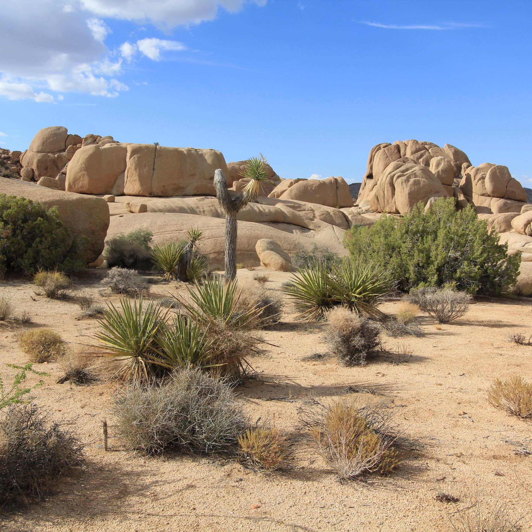
Looking west from the summit you can see across Pinto Basin to Joshua Tree National Park. Indeed, Ryan Mountain has its own display of unique desert flora. The trail starts flat and becomes more steep as you climb, offering spectacular panoramic views and plenty of space to explore at the summit.
0
0


This small mountain in the lower part does not see as many visitors as the center of Joshua Tree National Park. Leave the crowds behind and enjoy a hike to this peak and the scenic ruins of the old Mastodon Mine. In the 1930s, the Hulsey Family found some gold ore, but was not able to get to the main vein, so the mine was abandonded pretty soon.
0
0

Mount Rubidoux boasts several historic landmarks, including the Peace Tower, built in 1925 to honor Frank A. Miller. The cross at its summit symbolizes the city's cultural heritage and provides a serene spot for reflection and appreciation of Riverside's history. Additionally, the Save Mount Rubidoux Committee has worked tirelessly to preserve these landmarks and maintain the mountain's significance in the community.
0
0
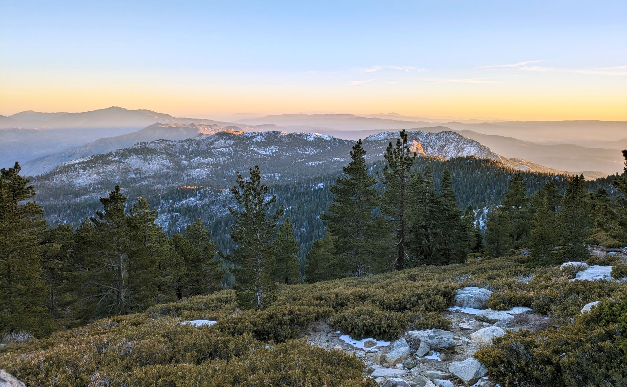
With 10,883 feet, Mount San Jacinto is the highest peak in the San Jacinto Mountains. There is a network of hiking trails around the summit and the San Jacinto State Park itself. If the weather turns for the worst, you can find shelter in a little hut close to the summit. You can either take a hike from Idyllwild on the west side of the mountain or Palm Springs on the east side. There is also an aerial tramway you can use to get into the San Jacinto Wilderness. If you feel adventurous, you can cross the mountain range using the Pacific Crest Trail.
0
0
リバーサイド郡の人気観光スポット

komootモバイルアプリでインスピレーションを得よう


探していたものは見つかりませんでしたか?
リバーサイド郡の最高の山や頂上を地域ごとに発見しましょう:
さらに探索
これらのガイドでさらに素晴らしい頂上を見てみましょうリバーサイド郡:
