サミット郡のおすすめウォーキング&ハイキングルート
4.7
(240)
9,042
ハイカー
367
ハイキング
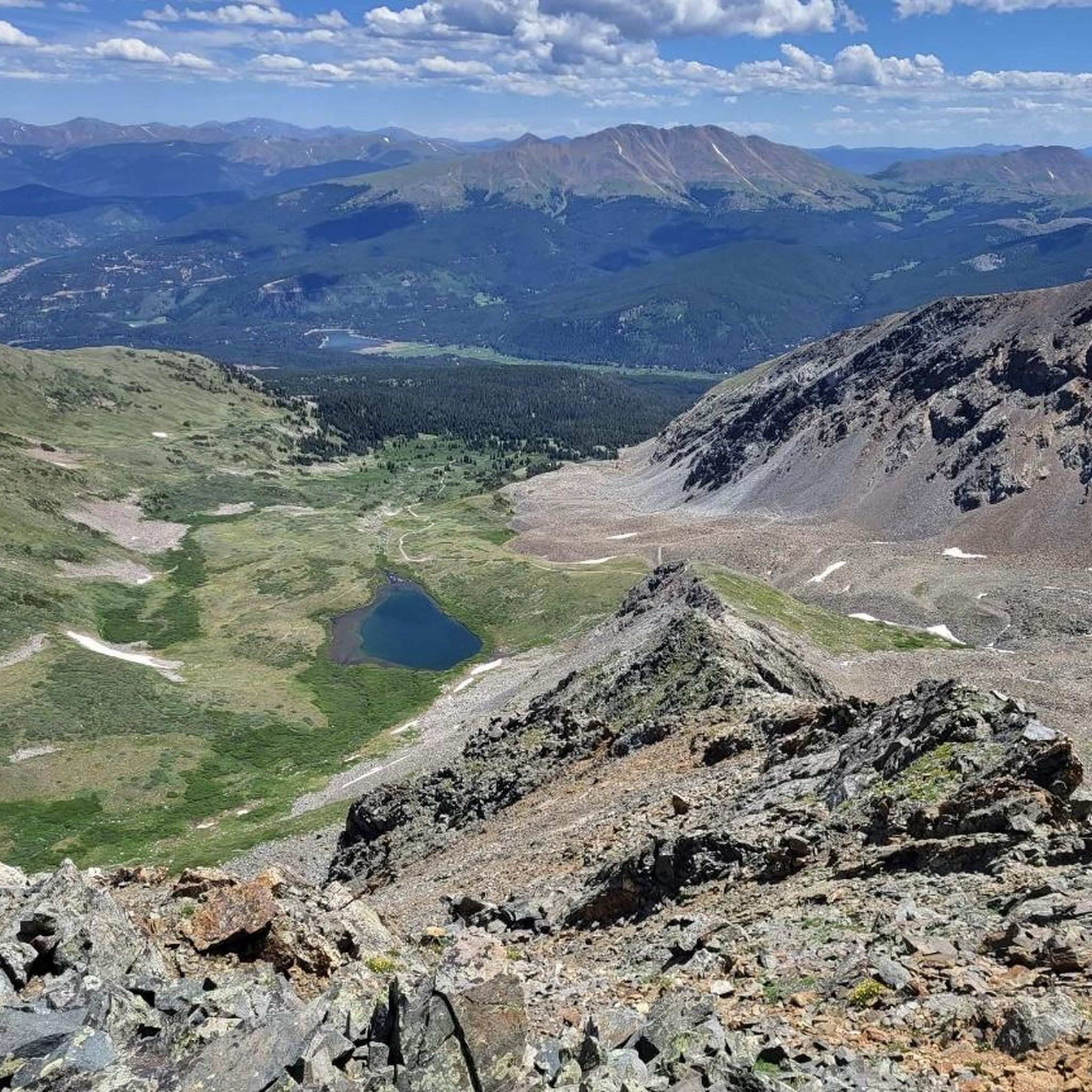
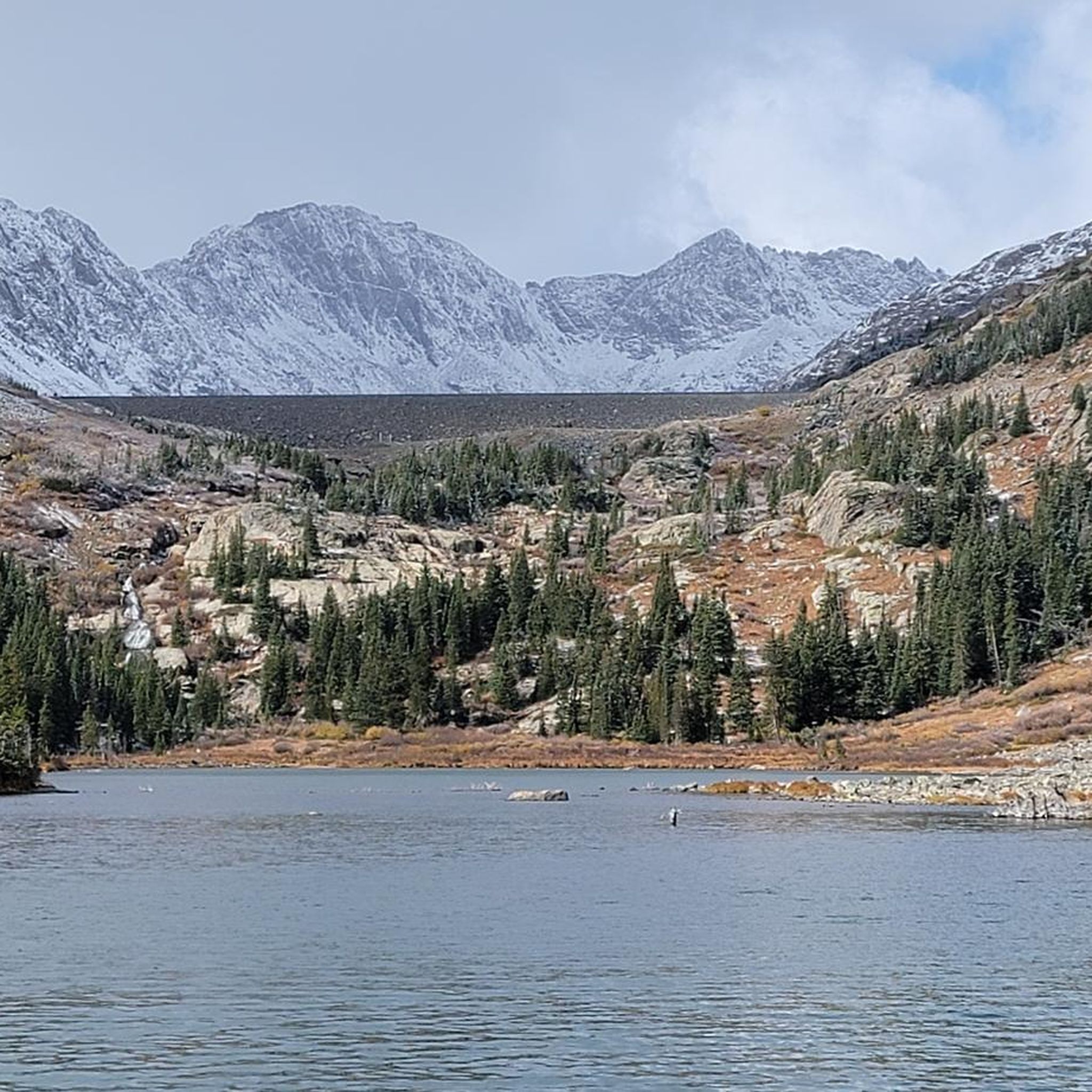
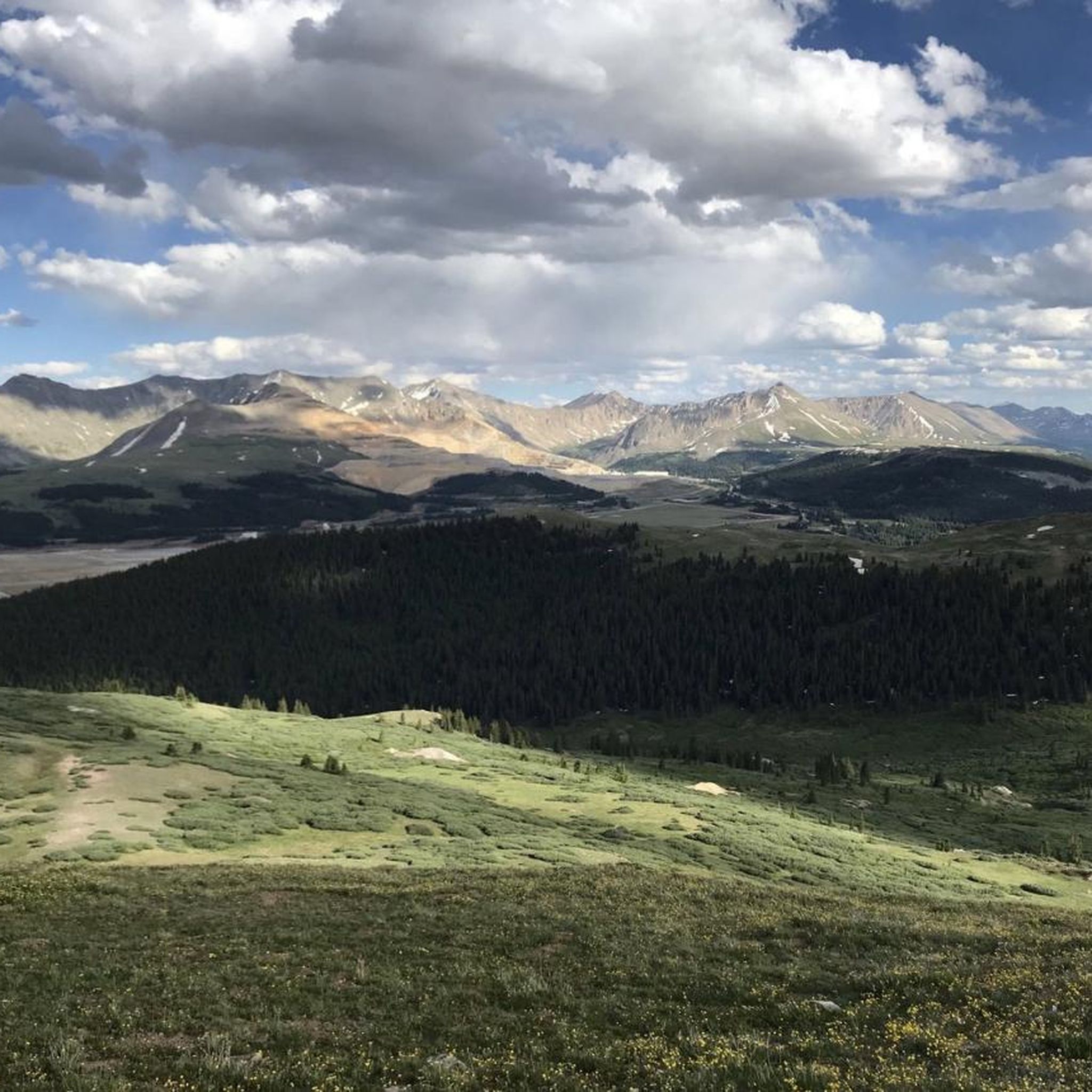
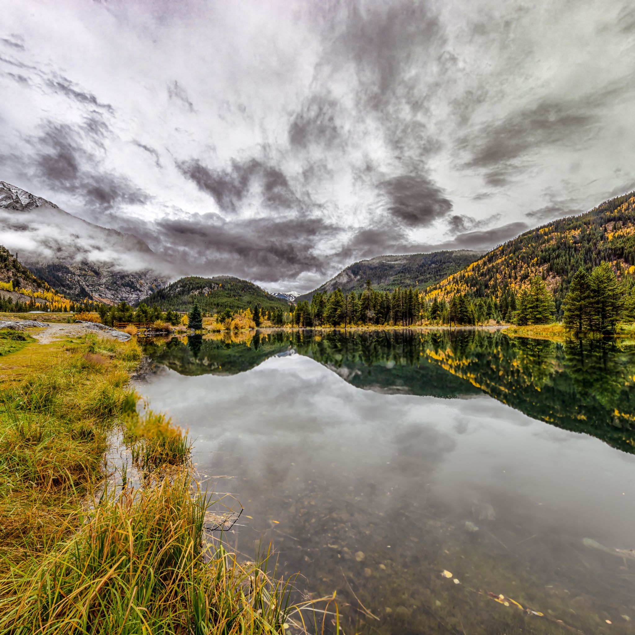
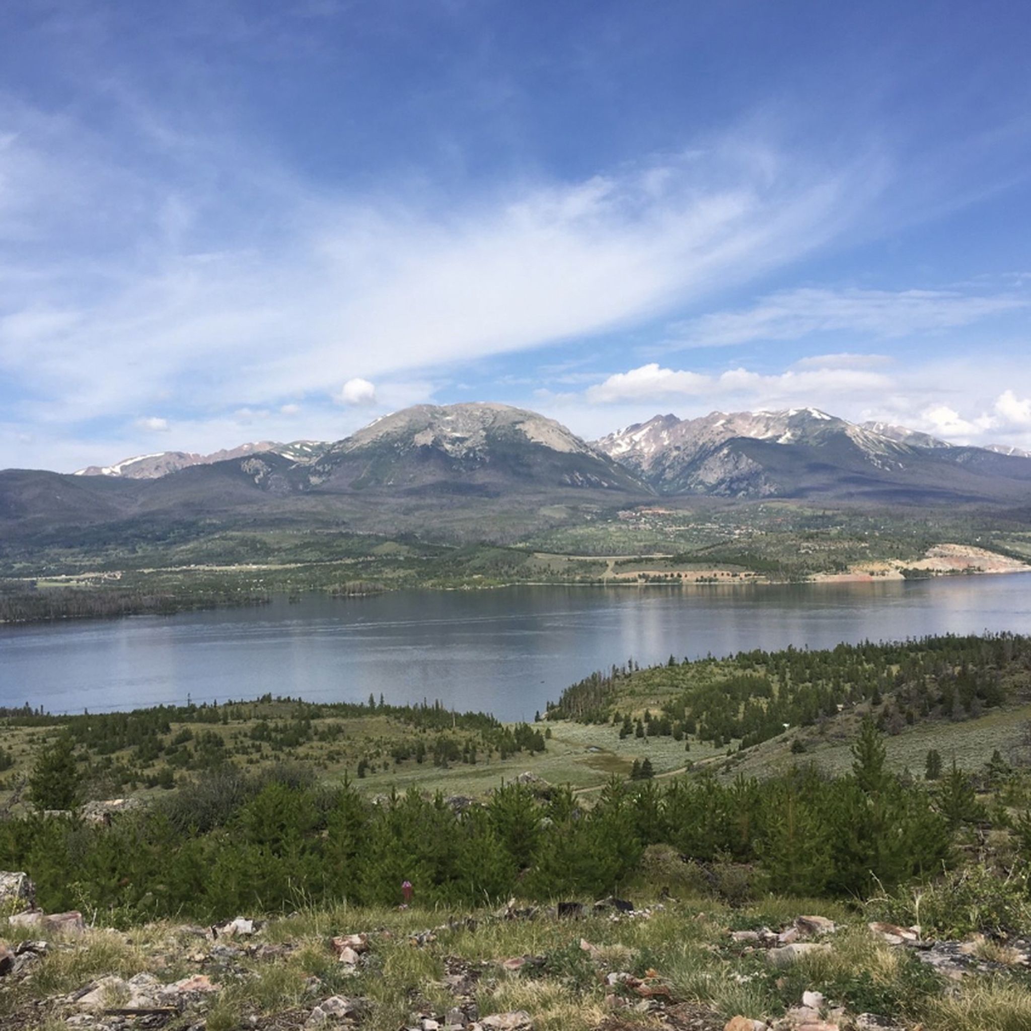
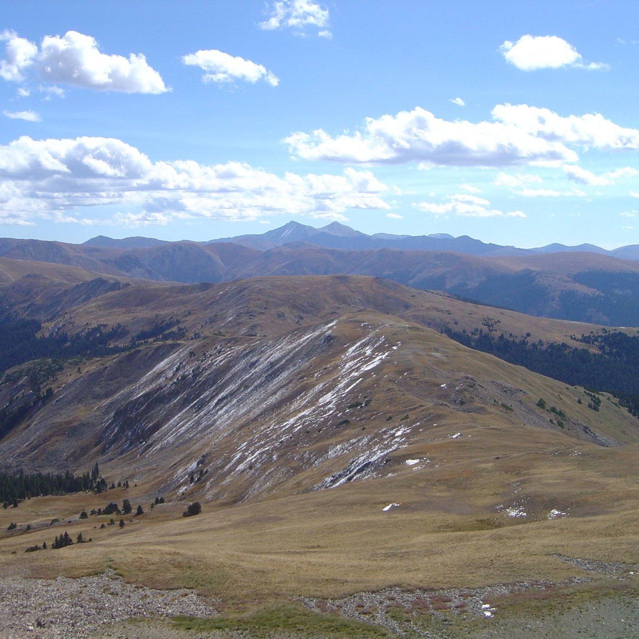
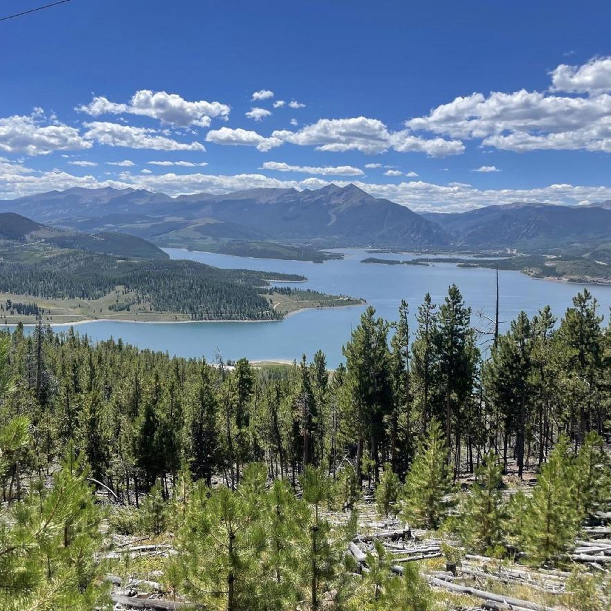
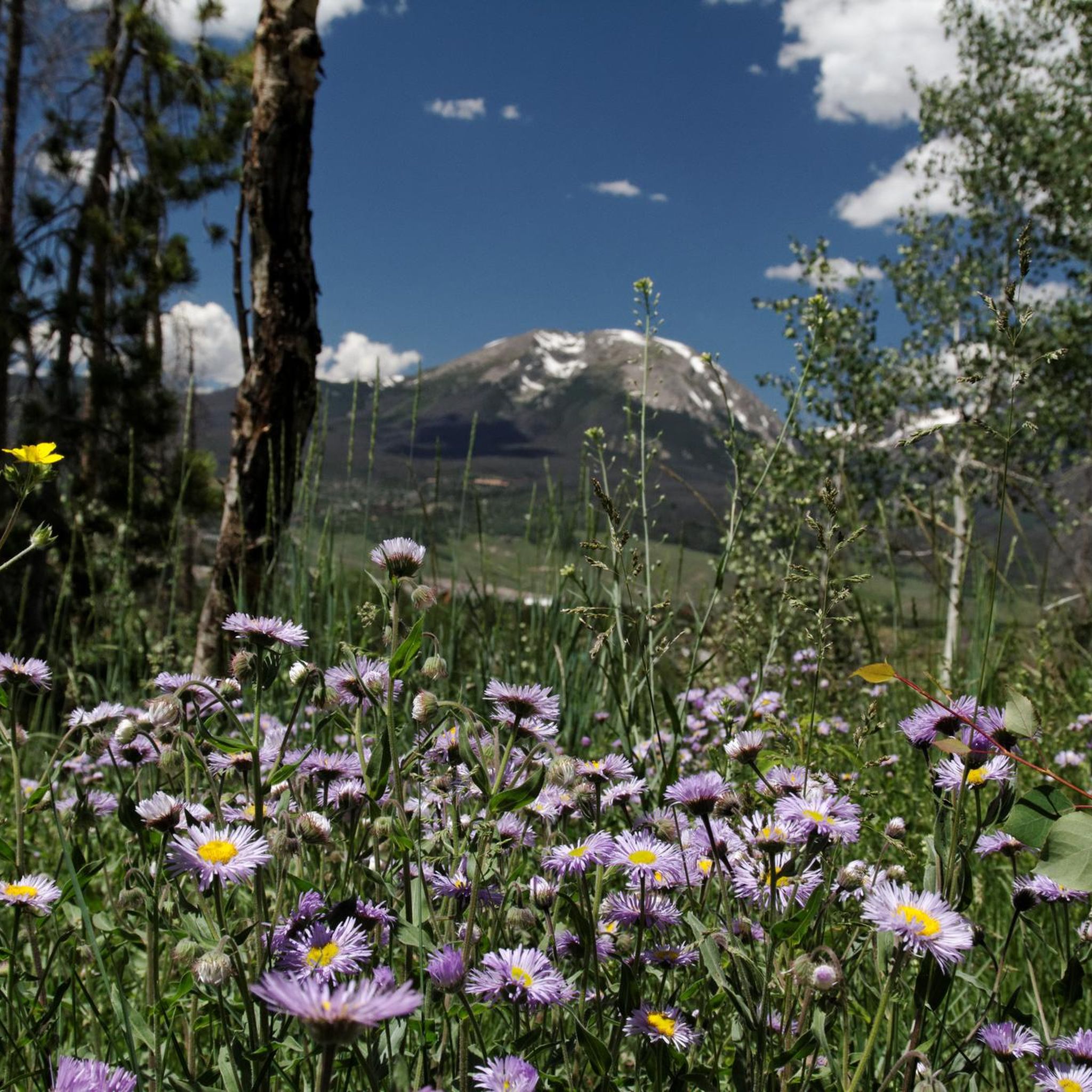
コロラド州サミット郡でのハイキングは、高地の国立森林地帯や原生地域を特徴とするロッキー山脈を巡るルートを提供します。この景観には、そびえ立つ山頂、静かな高山湖、歴史的な鉱山の遺跡があります。ハイカーは、ロッジポールパインやアスペンの木立の多様な森林、そして野花で満たされた草原を横断できます。この地域のトレイルは、穏やかな谷間の小道から挑戦的な山の登りまで多岐にわたり、探検のために様々な地形を提供します。
サミット郡の最高のハイキングトレイル
- 最も人気のあるハイキングルートは、スプルースクリークトレイル経由のメドウレイクとロウワーコンチネンタルフォールズで、所要時間約2時間30分の5.1マイル(8.2 km)のトレイルです。このルートは、湖と滝に向かう途中で歴史的な鉱山の構造物を通過します。
- 地元のハイカーに人気のもう一つのトレイルは、イーグルスネスト原生地域を経由するリリーパッド湖で、1.6マイル(2.5 km)の簡単なコースです。このトレイルは、イーグルスネスト原生地域を通り抜け、小さな湖へと続いています。
- 地元のハイカーに愛されているもう一つのトレイルは、ホワイトリバー国立森林を巡る4.2マイル(6.7 km)のシュラインマウンテン・バイ・シュラインリッジトレイルです。このトレイルはホワイトリバー国立森林を通り抜け、通常約2時間で完了します。
- サミット郡でのハイキングは、高山の湖、国立森林のトレイル、そしてかつての鉱山地区を通る小道によって特徴づけられます。トレイルネットワークは、家族向けのハイキングを含む、様々な体力レベルに適したオプションを提供します。
- サミット郡のルートは、komootコミュニティから高く評価されており、120件以上のレビューから平均4.7つ星を獲得しています。3,900人以上のハイカーがkomootを使用して、サミット郡の多様な地形を探検しました。
最終更新日: 8月 31, 2026
5.0
(2)
83
ハイカー
8.06km
04:07
1,010m
170m
難しいハイキング. 標準以上のフィットネスレベルが必要です。 全般的に進みやすいルートです。安定して歩行できる技術が必要です。
5.0
(1)
41
ハイカー
21.3km
07:49
910m
1,100m
難しいハイキング. 標準以上のフィットネスレベルが必要です。 全般的に進みやすいルートです。安定して歩行できる技術が必要です。

無料新規登録
5.0
(2)
18
ハイカー
10.8km
03:37
640m
360m
中程度のハイキング. ある程度のフィットネスレベルが必要です。 進みやすいルートです。あらゆるスキルレベルに適しています。
5.0
(1)
34
ハイカー
19.8km
05:59
790m
540m
難しいハイキング. 標準以上のフィットネスレベルが必要です。 進みやすいルートです。あらゆるスキルレベルに適しています。
23
ハイカー
7.59km
02:24
190m
190m
中程度のハイキング. ある程度のフィットネスレベルが必要です。 全般的に進みやすいルートです。安定して歩行できる技術が必要です。
4.7
(3)
12
ハイカー
5.24km
01:41
250m
170m
初級者向けハイキング. あらゆるフィットネスレベルに適しています。 進みやすいルートです。あらゆるスキルレベルに適しています。
4.0
(1)
11
ハイカー
2.53km
00:52
230m
0m
初級者向けハイキング. あらゆるフィットネスレベルに適しています。 進みやすいルートです。あらゆるスキルレベルに適しています。
5.0
(1)
10
ハイカー
12.1km
03:21
120m
320m
中程度のハイキング. ある程度のフィットネスレベルが必要です。 全般的に進みやすいルートです。安定して歩行できる技術が必要です。
11
ハイカー
8.11km
02:49
710m
20m
中程度のハイキング. ある程度のフィットネスレベルが必要です。 進みやすいルートです。あらゆるスキルレベルに適しています。
9
ハイカー
10.8km
03:17
600m
30m
中程度のハイキング. ある程度のフィットネスレベルが必要です。 進みやすいルートです。あらゆるスキルレベルに適しています。
さらに多くのルートや他のユーザーのおすすめ情報を確認できます。
無料新規登録
すでにアカウントをお持ちですか?
おすすめのツアーは他のkomootユーザーが実際に経験した何千ものアクティビティに基づいています。


コミュニティからのヒント

In this area you can find several nice flat spots to pitch a tent. Pine trees will provide good shelter and Guller Creek is your closest water source.
5
0
Jacque Creek is a good and reliable water source along the Colorado Trail. A small wooden bridges keeps your feet dry while crossing.
3
0

It's truly beautiful here: Right at the edge of the forest stand a few pines, their long, paired needles rustling in the breeze. A little further back, spruces grow, their sharp needles and drooping cones creating the typical dark, dense coniferous forest. In a lighter corner, you'll find larches, whose soft needles turn golden in the autumn and eventually shed their leaves, giving the forest an almost fairytale-like appearance. Individual firs are scattered among the spruces, recognizable by their softer, flatter needles and upright cones. Where the soil is particularly nutrient-rich, a stately Douglas fir towers, striking with its sturdy trunk and elongated cones. In a wetter depression, hemlocks might thrive, their fine, flat needles creating a delicate, almost floating impression. Perhaps there's even an old yew tree in one corner, whose dark green, dense needles and bright red berries lend the place a mysterious feel.
5
3
The view up here is truly stunning – but keep in mind that thunderstorms happen frequently during the summer. So try to be below tree line before afternoon.
2
0
Janet's Cabin is one of five backcountry huts managed by the Summit Huts Association. You can book a bunkbed or even the whole cabin (if available). The hut was completed in 1990. Four bedrooms sleep a maximum of 20 guests in winter, and 14 in summer. If you like mountain lounging, you’ll feel at home on the large front deck. The hut is open from November through April (Winter) and July through September (Summer). You can find more information and book the hut here: https://summithuts.org/janets-cabin
2
0
The Blair Witch Trail connects with two more trails: the Hay Trail and Horseshoe Gulch Trail. If you wonder: the name of the trail is unrelated to the infamous horror movie.
2
0
The Colorado Trail crosses a small stream via a wooden bridge. There is a campsite close by.
3
0
Hiking towards Breckenridge, the Colorado Trail offers a stunning view of Tenmile Range with its prominent peaks. Take a minute to embrace this panoramic view.
3
0

komootモバイルアプリでインスピレーションを得よう


探していたものは見つかりませんでしたか?
サミット郡の下にある他のハイキングをチェックして、目的地で完璧なルートを見つけましょう。
さらに探索
他の地域の最高のハイキングを見てみましょう。
