カレンベルクのおすすめウォーキング&ハイキングルート
4.6
(12498)
43,170
ハイカー
92
ハイキング
カレンベルク 周辺でおすすめのハイキングやウォーキングを楽しんでいただけるように、このエリアの小径やルートを集めたkomootコレクション全体を見直しました。 以下で各ルートの詳細をご覧になり、カレンベルク周辺の大自然を満喫する際の参考にしてください。
最終更新日: 9月 1, 2026
4.7
(142)
378
ハイカー
10.8km
02:54
130m
130m
中程度のハイキング. ある程度のフィットネスレベルが必要です。 進みやすいルートです。あらゆるスキルレベルに適しています。
4.7
(102)
299
ハイカー
8.86km
02:24
120m
120m
中程度のハイキング. ある程度のフィットネスレベルが必要です。 進みやすいルートです。あらゆるスキルレベルに適しています。

4.8
(28)
82
ハイカー
10.3km
02:46
120m
120m
中程度のハイキング. ある程度のフィットネスレベルが必要です。 全般的に進みやすいルートです。安定して歩行できる技術が必要です。
4.6
(27)
66
ハイカー
5.22km
01:23
50m
50m
初級者向けハイキング. あらゆるフィットネスレベルに適しています。 進みやすいルートです。あらゆるスキルレベルに適しています。
4.6
(14)
59
ハイカー
6.24km
01:38
50m
50m
初級者向けハイキング. あらゆるフィットネスレベルに適しています。 進みやすいルートです。あらゆるスキルレベルに適しています。
さらに多くのルートや他のユーザーのおすすめ情報を確認できます。
すでにアカウントをお持ちですか?
おすすめのツアーは他のkomootユーザーが実際に経験した何千ものアクティビティに基づいています。
無料アカウントで今日から始めよう
次の冒険が待っています。

コミュニティからのヒント

教会は遠くからでも見ることができ、町の景観を形作っています。
1
0

Portal of Quiet Nature Enjoyment, in Grünfelder Park in Waldenburg. Information: Renaissance portal made of red sandstone, originally from Waldenburg Castle, which burned down in 1619. It bears an inscription from the park's founding: "To Quiet Nature Enjoyment." It was initially displayed as a ruin and received its current appearance after renovations in 1844.
2
0

The foundation stone for the new St. Catherine's Church in Callenberg was laid on November 12, 1855. Construction followed the design of fire insurance inspector Gutwasser from Zwickau. From April 2, 1856, to October 23, 1856, the nave was raised and roofed with slate. The tower was completed up to the third story, and the apse up to the gallery. On November 10, the stained-glass window depicting the Lamb with the Victory Banner was installed. On December 2, 1858, the organ, built by organ builder Urban Kreutzbach, was presented. The church was consecrated in November 1859. https://callenberg.de/ev-luth-kirchgemeinde-callenberg.html
1
0

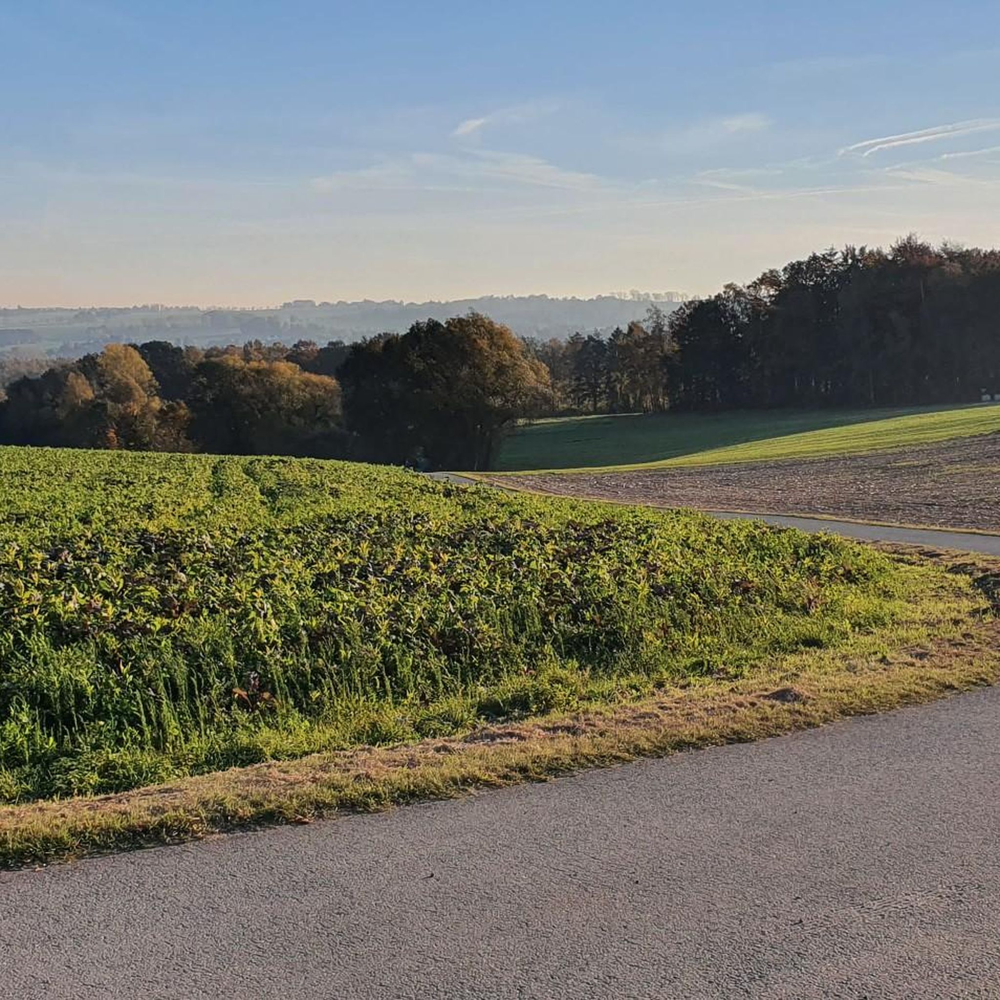
Beautiful view towards Leipzig.
6
0


The Pechgraben and its tributary, the Schindelgraben, run through the areas of Hohenstein-Ernstthal and Callenberg. With a protected area of 45,706 m², they are a valuable example of natural, strongly meandering streams in the low mountain range. Due to their rarity, they are designated as a natural monument and are placed under special protection.
1
0
The Karl May Cave, also known as the Little Iron Cave, is located in the Waldenburg Upper Forest near Hohenstein-Ernstthal. Originally a mine tunnel dating back to 1620, it was later used as a shelter. In 1869, Karl May hid here when he was wanted for theft. Five years later, he mentioned the cave in his story "The Rose of Ernstthal." It was officially named after him in 1933. During the GDR era, it was closed to the public. Today, however, it can be easily visited again and serves as a reminder of the famous author.
3
2
great corner, always worth a trip
0
1

komootモバイルアプリでインスピレーションを得よう


さらに探索
他の地域の最高のハイキングを見てみましょう。
