レ・カマーズのおすすめウォーキング&ハイキングルート
4.3
(707)
4,669
ハイカー
116
ハイキング
モンターニュ・ノワール内にあるレ・カマゼ周辺のハイキングは、深い森、重要な湖、歴史的な水路など、多様な景観を提供します。この地域は、ゴルジュ・デュ・ソルやローデット渓谷を含む、変化に富んだ地形が特徴です。トレイルは、運河・デュ・ミディに水を供給する工学的な驚異であるリゴル・ドゥ・ラ・モンターニュ・ノワールに沿って続くことが多いです。このエリアは、その多様な環境に貢献するユニークな微気候の恩恵を受けています。
レ・カマゼ周辺の最高のハイキングトレイル
- 最も人気のあるハイキングルートは、レ・カマゼ発、モンターニュ・ノワールのリゴル~カマゼダムループです。これは12.8km(7.9マイル)のトレイルで、所要時間は3時間30分です。歴史的なリゴルに沿って進み、カマゼダムを一周します。
- 地元のハイカーに人気のもう一つのルートは、ヴォーバン・ヴォールト~レ・カマゼ発、モンターニュ・ノワールのリゴルループです。これは8.2km(5.1マイル)の中程度の難易度のパスで、ヴォーバン・ヴォールトとリゴルの一部を探索します。
- 地元のハイカーに愛されているもう一つのルートは、レ・カマゼ発、カマゼダムループです。これは10.2km(6.3マイル)のトレイルで、カマゼダム周辺の森林地帯を通り抜け、所要時間は約2時間50分です。
- レ・カマゼ周辺のハイキングは、モンターニュ・ノワールの森、静かな湖、そして歴史的なリゴル・ドゥ・ラ・モンターニュ・ノワールによって特徴づけられます。このネットワークは、湖畔の簡単な散歩から、より挑戦的な森の小道まで、様々なレベルの能力に対応するオプションを提供します。
- レ・カマゼのルートは、komootコミュニティから高く評価されており、500件以上のレビューから平均4.4つ星を獲得しています。4000人以上のハイカーがkomootを利用して、レ・カマゼの多様な地形を探索しています。
最終更新日: 9月 10, 2026
4.7
(3)
13
ハイカー
8.21km
02:17
150m
150m
中程度のハイキング. ある程度のフィットネスレベルが必要です。 進みやすいルートです。あらゆるスキルレベルに適しています。
4.5
(2)
13
ハイカー
8.46km
02:16
100m
100m
中程度のハイキング. ある程度のフィットネスレベルが必要です。 進みやすいルートです。あらゆるスキルレベルに適しています。

4.5
(2)
16
ハイカー
10.2km
02:50
190m
190m
中程度のハイキング. ある程度のフィットネスレベルが必要です。 進みやすいルートです。あらゆるスキルレベルに適しています。
5.0
(1)
11
ハイカー
8.02km
02:13
140m
140m
中程度のハイキング. ある程度のフィットネスレベルが必要です。 進みやすいルートです。あらゆるスキルレベルに適しています。
3.0
(1)
14
ハイカー
14.4km
03:56
220m
220m
中程度のハイキング. ある程度のフィットネスレベルが必要です。 進みやすいルートです。あらゆるスキルレベルに適しています。
さらに多くのルートや他のユーザーのおすすめ情報を確認できます。
すでにアカウントをお持ちですか?
おすすめのツアーは他のkomootユーザーが実際に経験した何千ものアクティビティに基づいています。
無料アカウントで今日から始めよう
次の冒険が待っています。

コミュニティからのヒント

La percée des Cammazes(ラ・ペルセ・デ・カマゼ)、別名ヴォーバン・ヴォールトまたはカマゼ・トンネルは、1686年から1688年の間に建設された長さ122メートル、幅3メートルのアーチ型トンネルで、山の水路がサン・フェレオル貯水池に到達できるようにしています。広大なミディ運河の構成要素の一部として、1996年からユネスコ世界遺産に登録され、1997年には歴史的建造物に登録されました[1]。1686年3月5日の覚書でヴォーバンによって設計され、モンターニュ・ノワールの水路の水をソール渓谷からローデ渓谷へ、「エスカマスの山の尾根」の下を通すためのものでした。かつてこのプロジェクトを検討していたピエール=ポール・リケは1680年に亡くなっています。(Wikipedia)
0
0

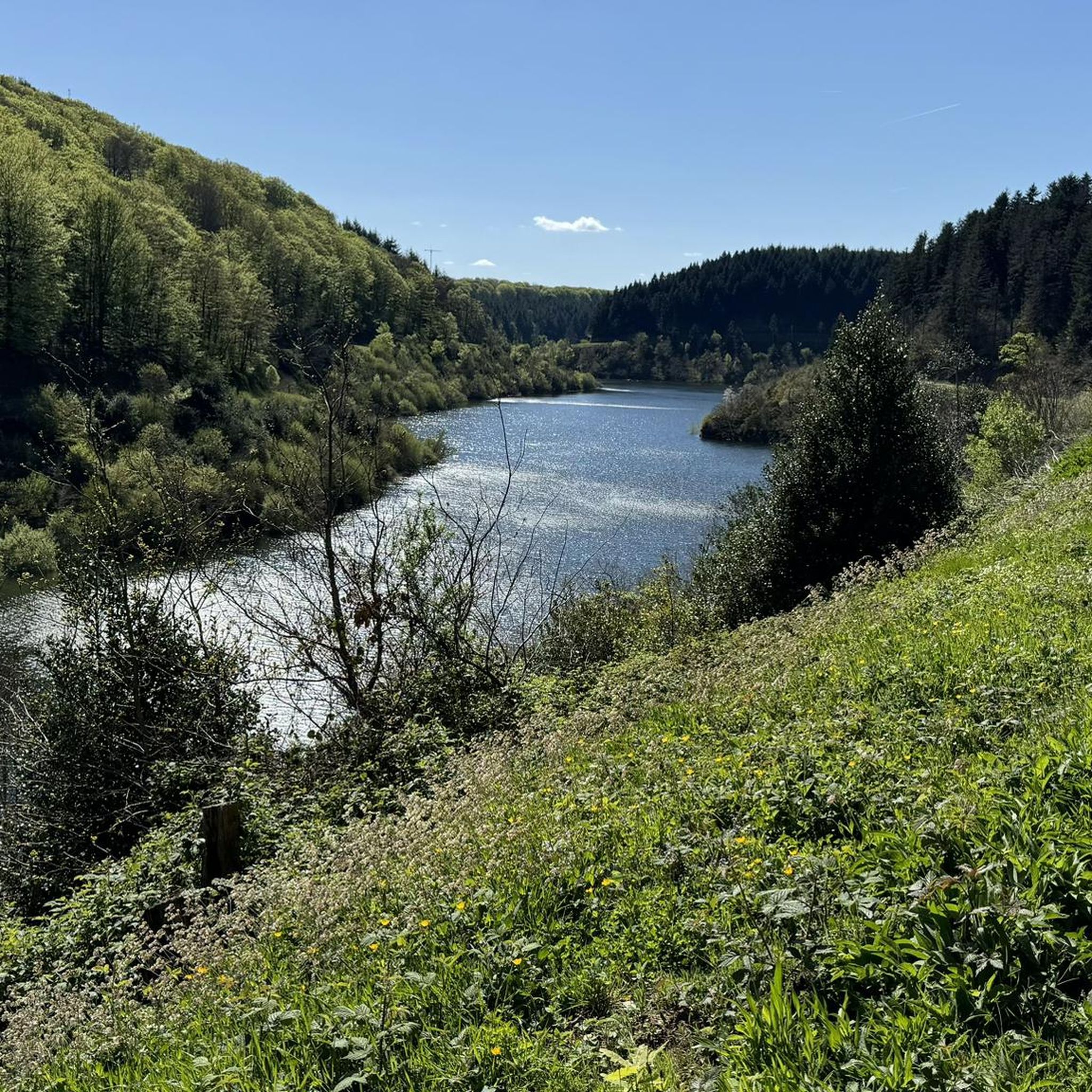
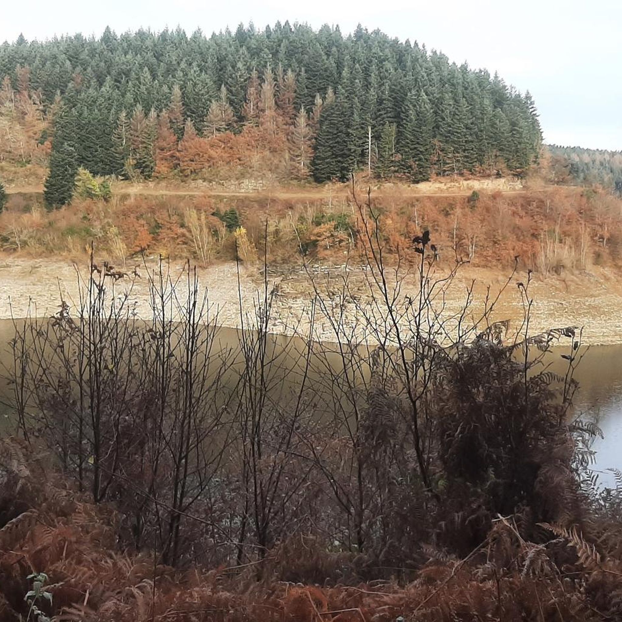
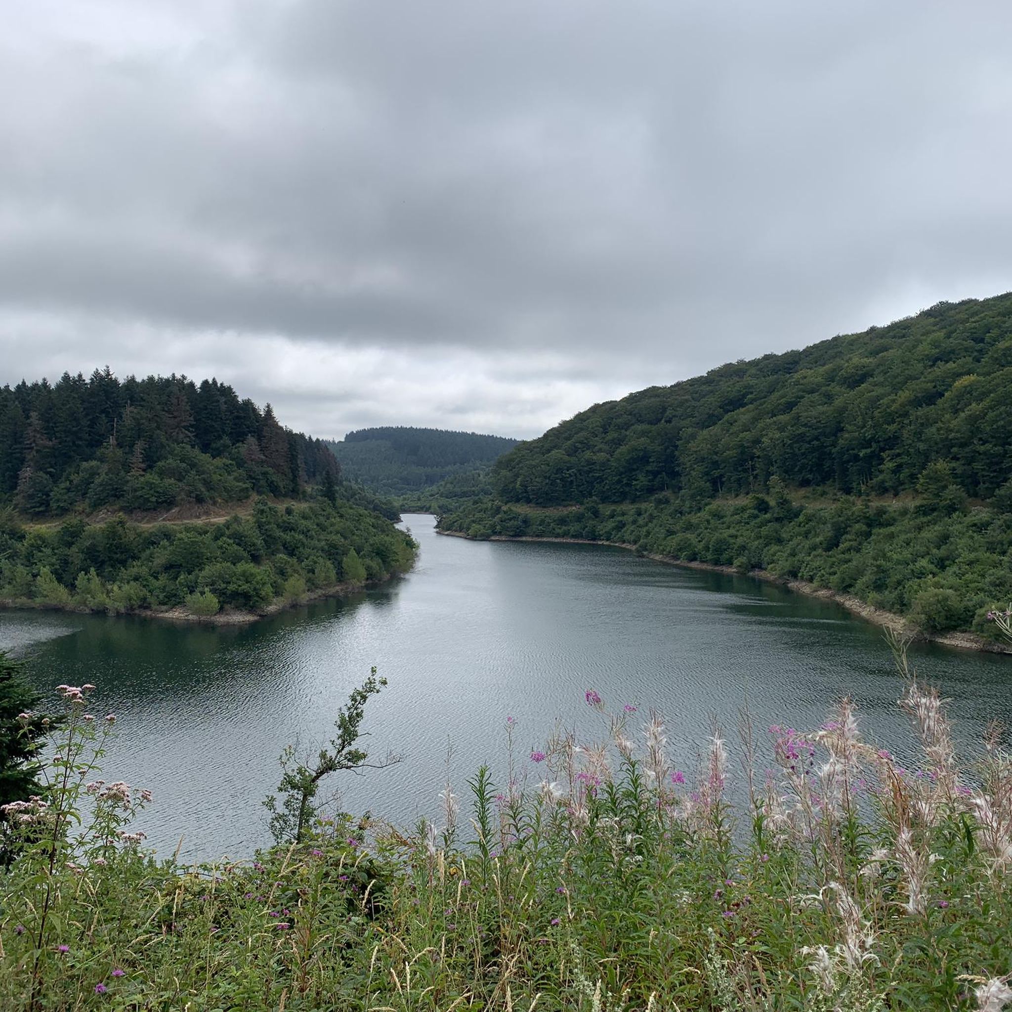
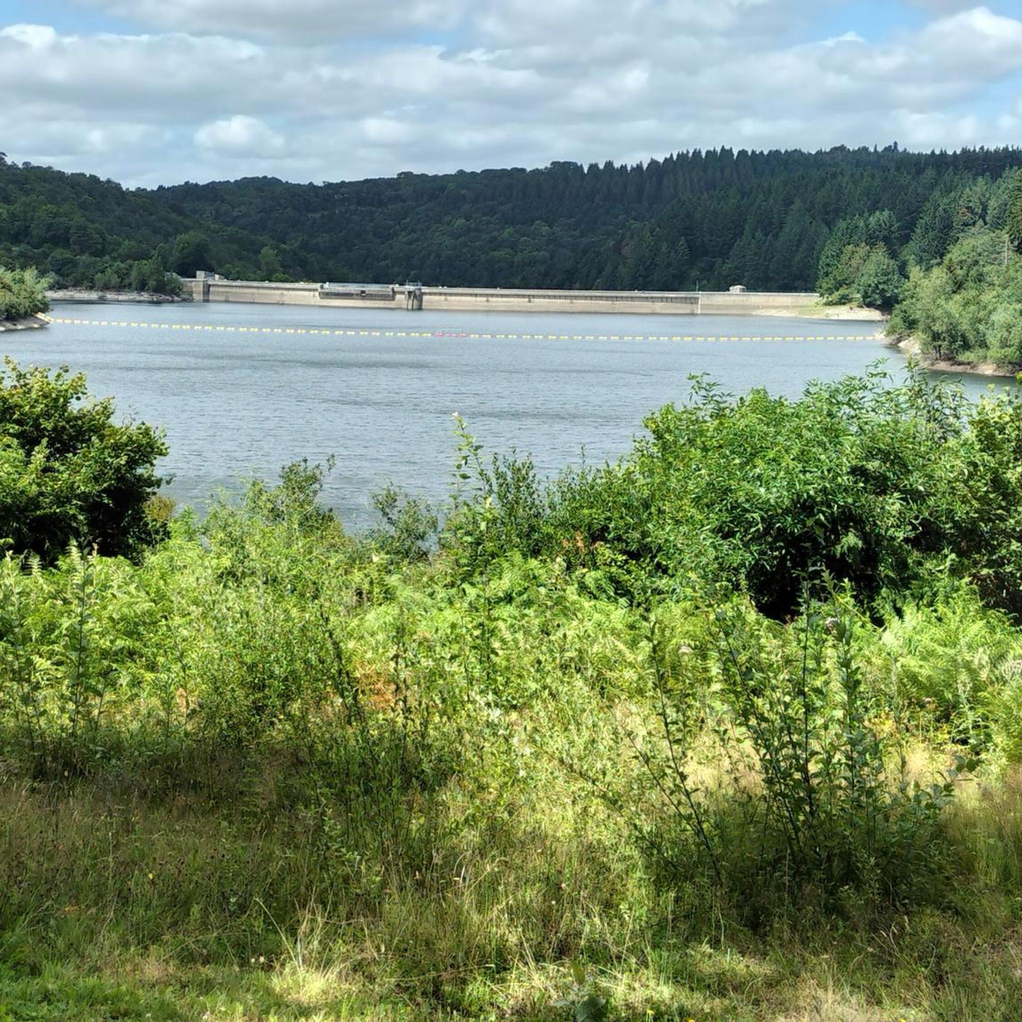
A slightly more extensive photo gallery with further pictures of this beautifully situated pond has been uploaded by hikers to the (sport-related) highlight; their pictures of "Lac de Cammazes" can be accessed via the following link =>> https://www.komoot.com/de-de/highlight/5578133
0
0

Nice and not very difficult unless there is an Autan wind
0
0

Superb and impressive, one of the 6 (main) lakes of the Montagne Noire, do not miss following the forest track which runs along its right bank.
0
0
The Rigole de la Montagne Noire is very pleasant to ride, ideal for a bucolic and family ride. Very shaded, do not miss the detour to the Lampy.
0
0


The Bassin du Lampy Neuf is a dam built to supply water to the Canal du Midi via the Rigole de la Montagne Noire. Originally the basin was located on the current site of Lampy Vieux but it was moved between 1777 and 1781, a hundred years after the creation of the Canal du Midi.
1
0
The Montagne Noire channel allows part of the water from the streams flowing naturally towards the Mediterranean side of the Canal du Midi via the Fresquel to be channeled towards the oceanic slope.
1
0
レ・カマーズでのの人気観光スポット

komootモバイルアプリでインスピレーションを得よう


さらに探索
他の地域の最高のハイキングを見てみましょう。
