ビュルサンのおすすめウォーキング&ハイキングルート
4.4
(908)
6,581
ハイカー
384
ハイキング
ビュルサン周辺でのハイキングは、景色を満喫するのに最適な手段のひとつですが、適切なハイキングルートを見つけることは簡単ではありません。 ビュルサン周辺の人気ハイキング&ウォーキングコースを参考にすれば、行きたいルートをすぐに見つけられます。
最終更新日: 10月 18, 2026
5.0
(3)
28
ハイカー
7.36km
02:19
280m
280m
中程度のハイキング. ある程度のフィットネスレベルが必要です。 進みやすいルートです。あらゆるスキルレベルに適しています。
4.5
(2)
15
ハイカー
9.48km
02:49
260m
260m
中程度のハイキング. ある程度のフィットネスレベルが必要です。 進みやすいルートです。あらゆるスキルレベルに適しています。

5.0
(1)
6
ハイカー
6.39km
01:50
160m
160m
初級者向けハイキング. あらゆるフィットネスレベルに適しています。 進みやすいルートです。あらゆるスキルレベルに適しています。
5.0
(2)
33
ハイカー
5.98km
01:52
210m
210m
初級者向けハイキング. あらゆるフィットネスレベルに適しています。 進みやすいルートです。あらゆるスキルレベルに適しています。
4.0
(2)
19
ハイカー
25.3km
06:38
190m
190m
難しいハイキング. 標準以上のフィットネスレベルが必要です。 進みやすいルートです。あらゆるスキルレベルに適しています。
さらに多くのルートや他のユーザーのおすすめ情報を確認できます。
すでにアカウントをお持ちですか?
おすすめのツアーは他のkomootユーザーが実際に経験した何千ものアクティビティに基づいています。
無料アカウントで今日から始めよう
次の冒険が待っています。
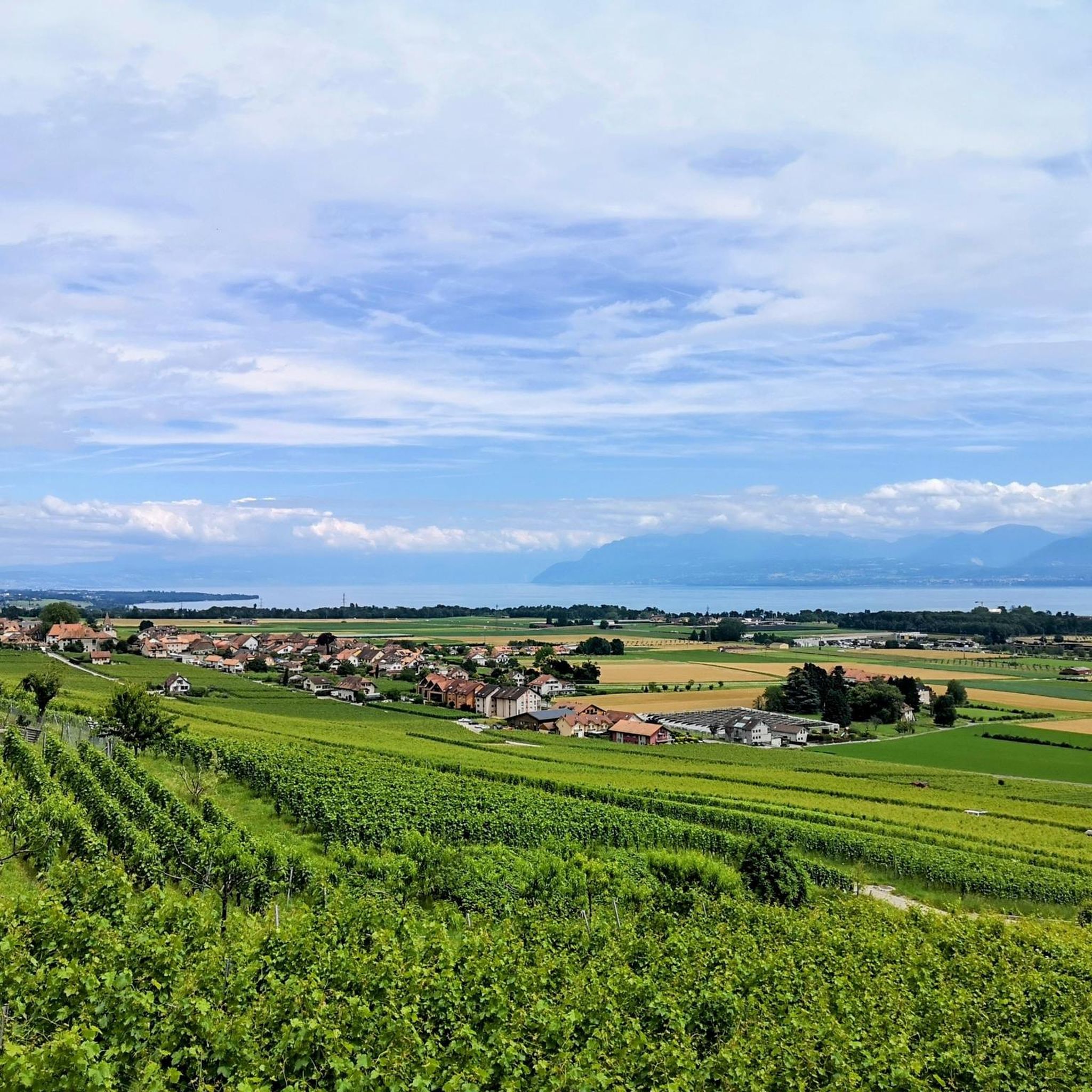
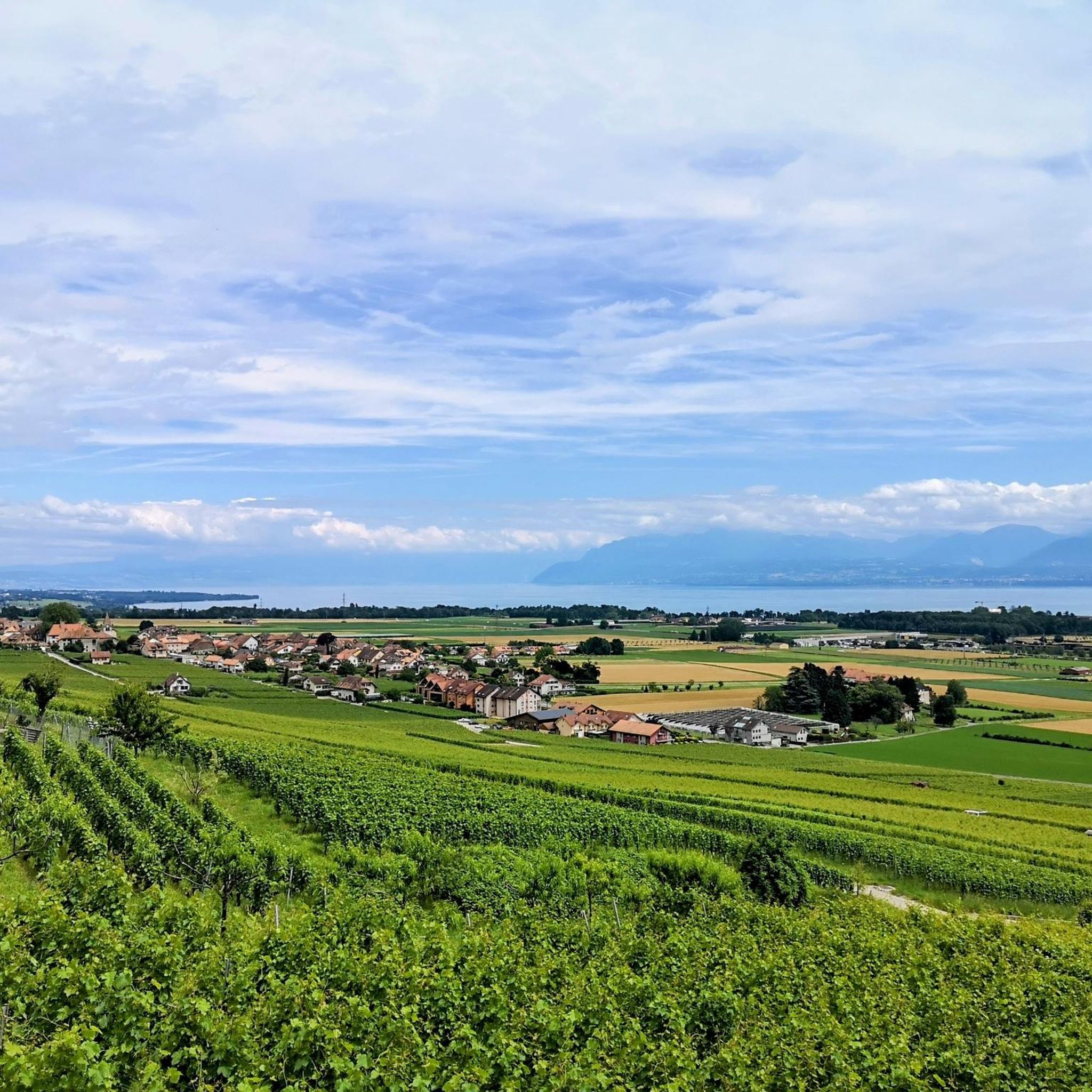
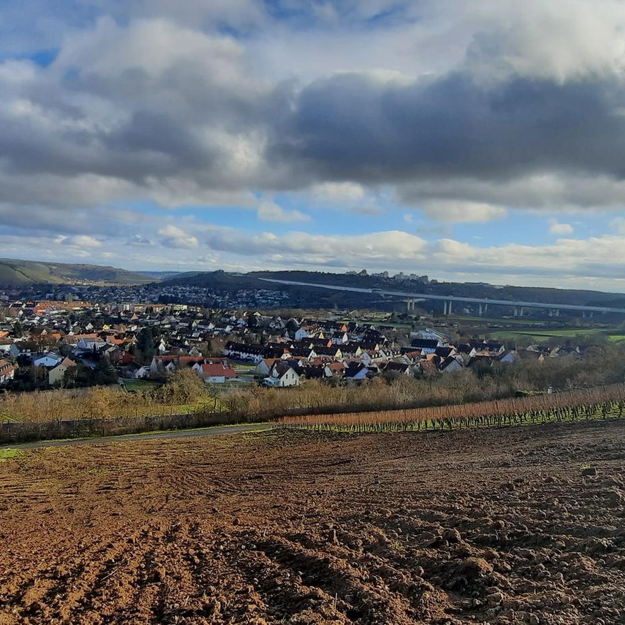
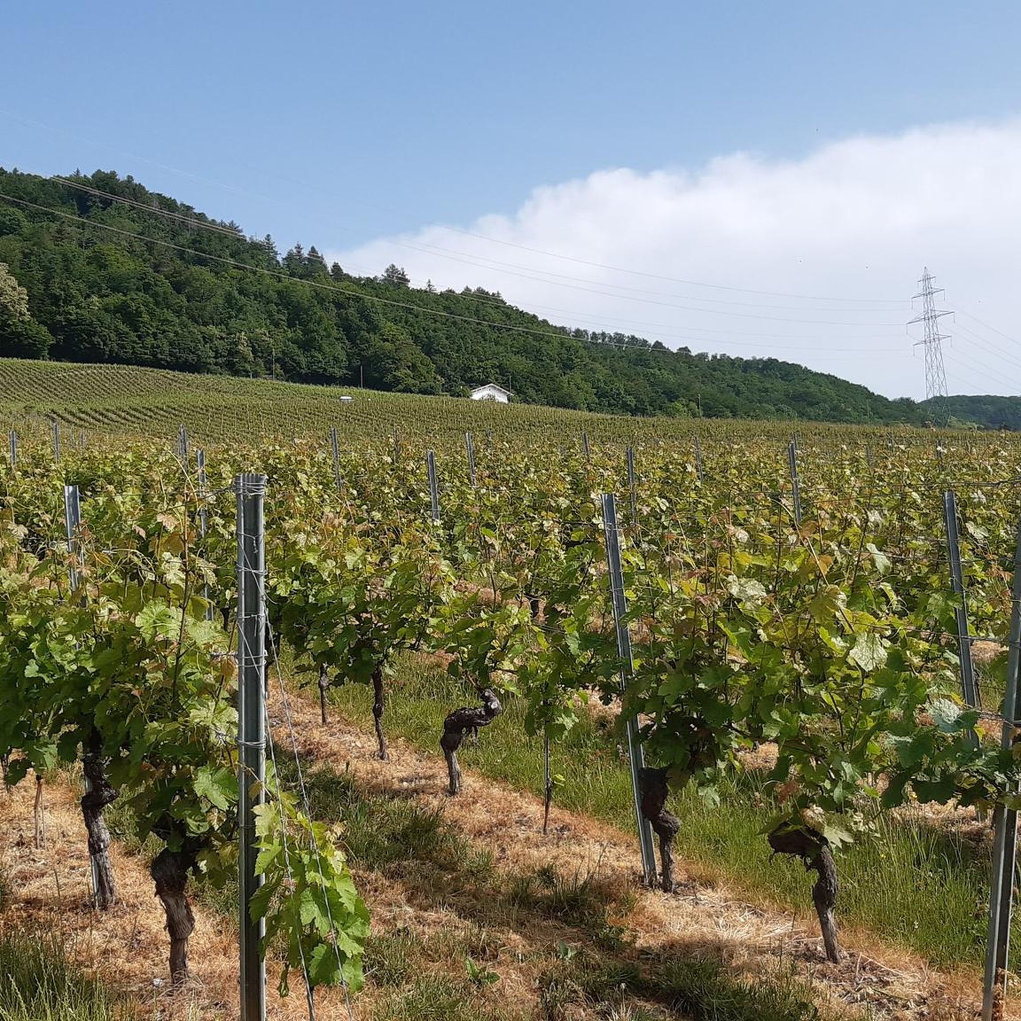
コミュニティからのヒント


Easy to access. There is a noticeboard nearby which had a list of events coming up.
0
0

Exceptional view of the lake and the mountains at Rolle. You can also admire the beautiful Rolle Castle - a medieval fortress built in the 13th century.
0
0

Bucolic walk along a river with celadon water. Perfect for a family, with a little girl of 3.5 years old for whom it was the first walk. We are never far from civilization (railway, highway nearby), and yet we immediately escape into this natural setting.
0
0

This villa, with trompe l'oeil windows, was a fort forming part of the defense line built to bar a possible incursion by Reich troops during the Second World War. It was declassified as a defense secret in 1995.
2
0
The church is located on the site of a Roman villa, it probably dates back to the 8th century. It is attested from 1011 under the name of Saint-Martin.
0
0

The Toblerones line, its official name Promenthouse fortified line, is an old Swiss line of fortifications at the foot of the Jura in the canton of Vaud dating from the Second World War. The name Toblerones was given to it by the Vaudois because of the resemblance of the alignment of numerous concrete blocks with the famous Swiss chocolate of the same name. Today a hiking trail, the Toblerones trail, follows this ancient line of fortifications.
0
0
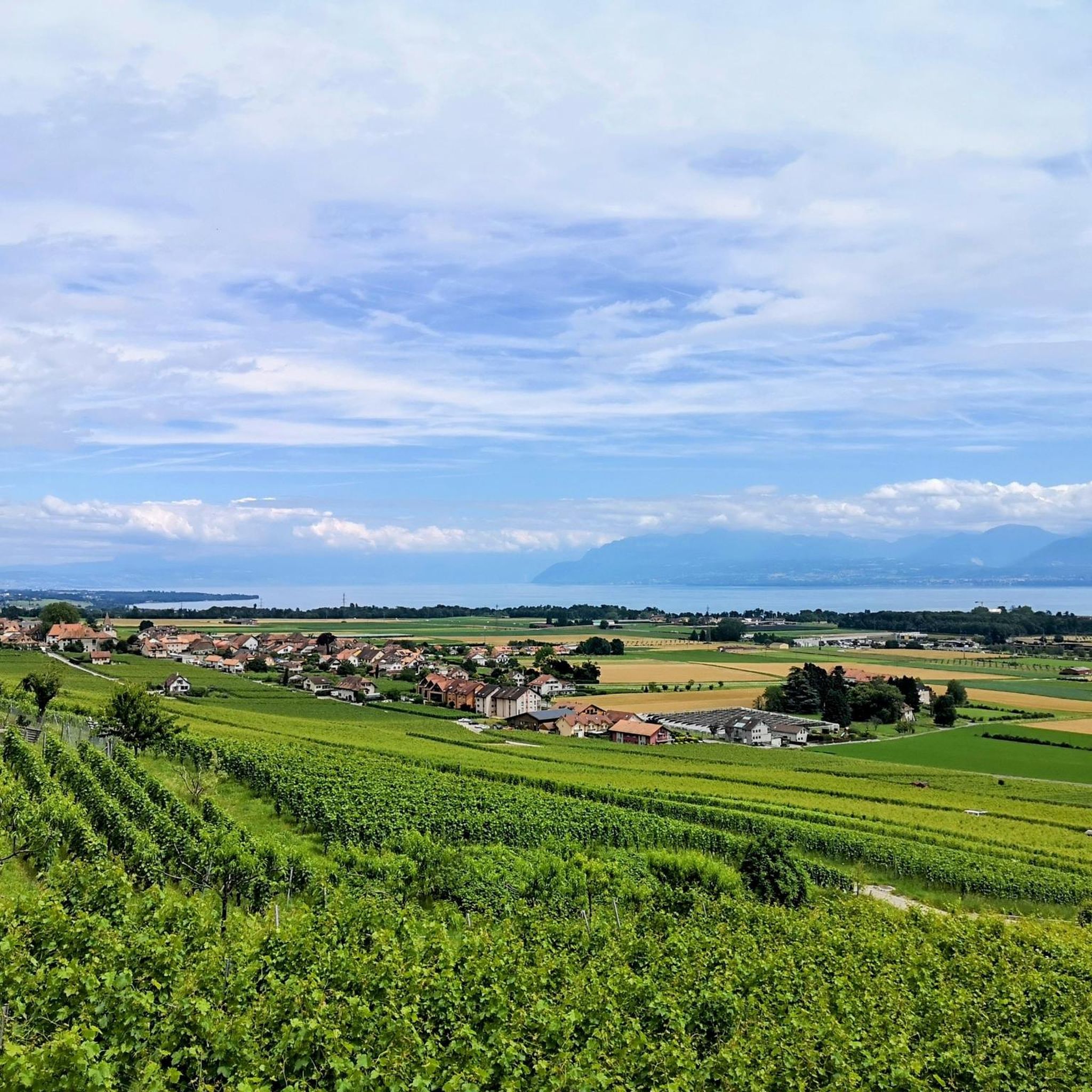
Upstream of the village of Bursins, in the heart of the La Côte region, exactly between Geneva and Lausanne, the Château Le Rosey estate is overlooked by four and a half hectares of vines extending on a gentle slope towards the first wooded foothills of the Jura and worked biodynamically. Probably built at the beginning of the 13th century in the form of a Savoyard square, partly burnt down, damaged by wars, transformed, enlarged, the castle underwent multiple transformations over the centuries, until its last restoration. Today, with its orchard and vegetable garden, it has regained its medieval vocation as a refuge, haven and stopover, taking the name Relais Viticole.
0
0
ビュルサンでのの人気観光スポット

komootモバイルアプリでインスピレーションを得よう


さらに探索
他の地域の最高のハイキングを見てみましょう。
