サンタクルスデモヤのおすすめウォーキング&ハイキングルート
4.5
(22)
238
ハイカー
38
ハイキング
サンタクルスデモヤ周辺でのハイキングは、景色を満喫するのに最適な手段のひとつですが、適切なハイキングルートを見つけることは簡単ではありません。 サンタクルスデモヤ周辺の人気ハイキング&ウォーキングコースを参考にすれば、行きたいルートをすぐに見つけられます。
最終更新日: 8月 31, 2026
5.0
(2)
8
ハイカー
17.8km
05:29
630m
640m
難しいハイキング. 標準以上のフィットネスレベルが必要です。 進みやすいルートです。あらゆるスキルレベルに適しています。
5.0
(1)
4
ハイカー
8.40km
02:45
390m
390m
中程度のハイキング. ある程度のフィットネスレベルが必要です。 進みやすいルートです。あらゆるスキルレベルに適しています。

無料新規登録
5.0
(1)
6
ハイカー
14.3km
04:02
300m
300m
Hike the moderate 8.9-mile Sendero del Agua (PR-CU 11) from Santa Cruz de Moya, exploring water features and Turia River views.
4.7
(3)
5
ハイカー
11.9km
03:35
370m
370m
Hike the moderate La Sierra Trail, a 7.4-mile (11.9 km) circular route near Talayuelas with viewpoints like Mirador del Pulpitejo.
27.3km
07:57
700m
700m
Hike the difficult 17.0-mile Aldeas de Higueruela circular route from Santa Cruz de Moya, featuring pine forests and views.
さらに多くのルートや他のユーザーのおすすめ情報を確認できます。
無料新規登録
すでにアカウントをお持ちですか?
おすすめのツアーは他のkomootユーザーが実際に経験した何千ものアクティビティに基づいています。
無料アカウントで今日から始めよう
次の冒険が待っています。
ログインまたは登録
コミュニティからのヒント

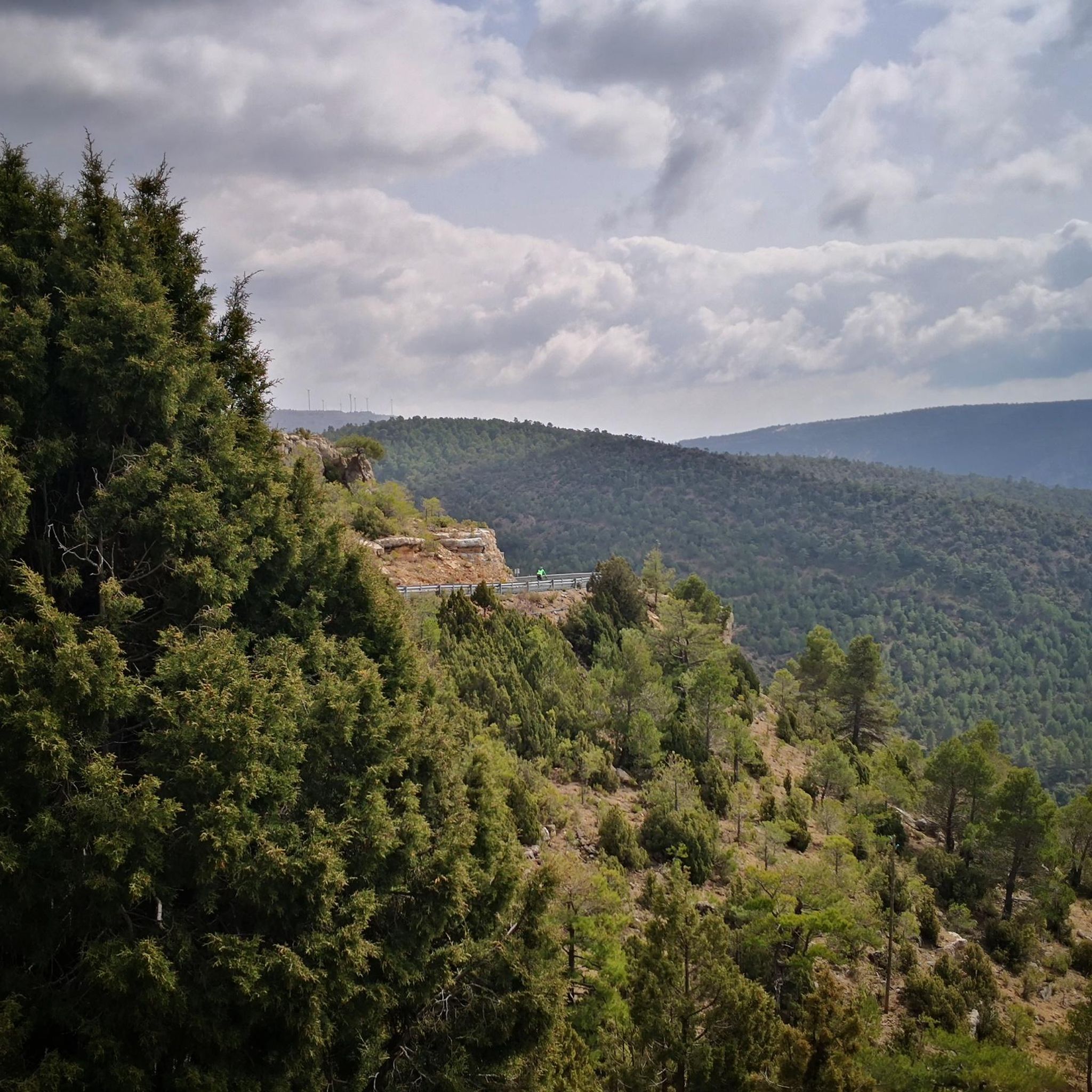
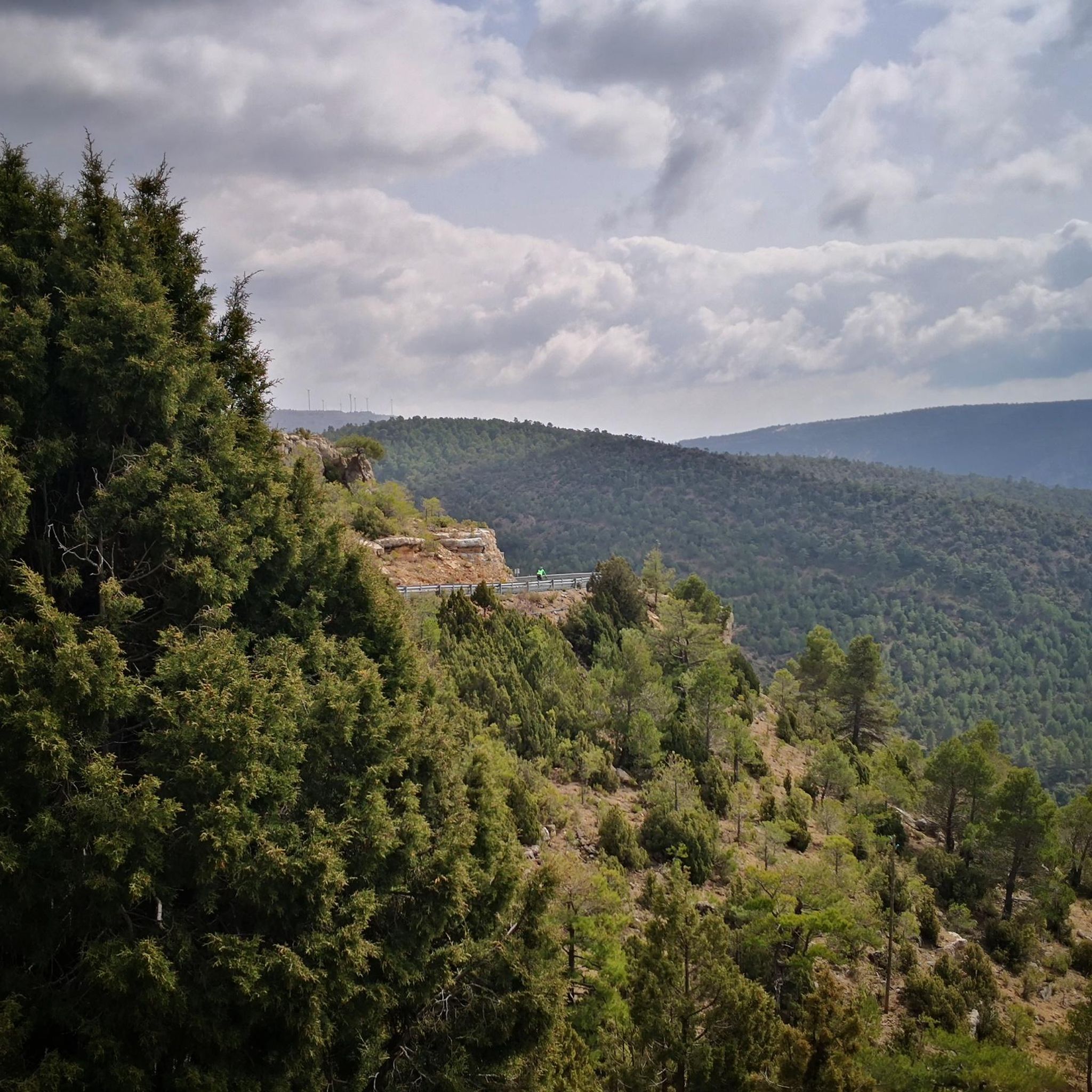
The El Vallecillo area in Santa Cruz de Moya, in the province of Cuenca, is an impressive natural place known for its scenic beauty and peaceful surroundings. This area is located in the Serranía Baja de Cuenca and is famous for its waterfalls, rivers and recreational areas.
2
0

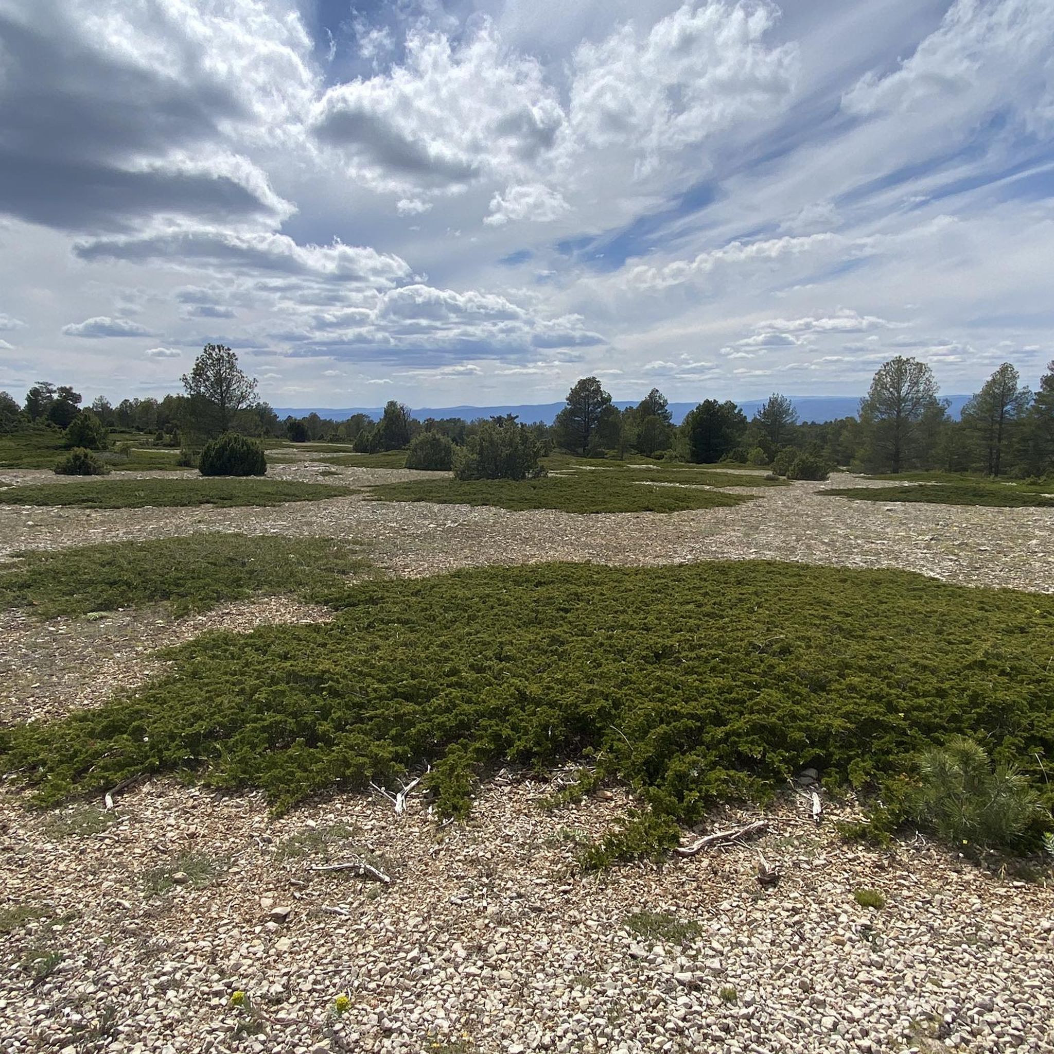
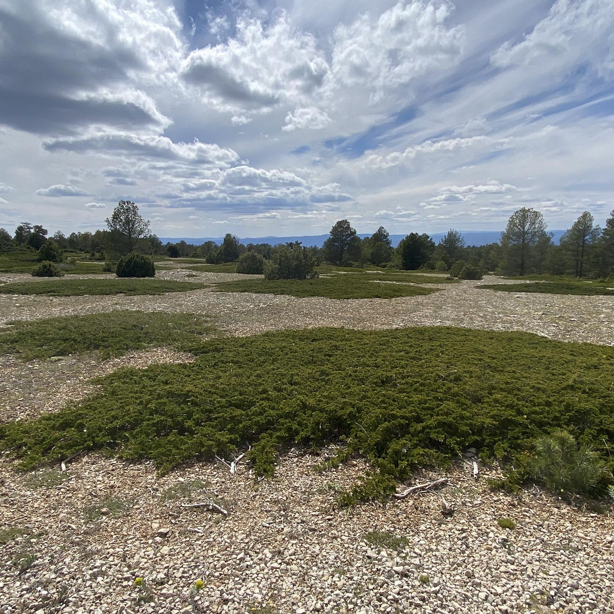
From the El Vallecillo spot there are beautiful views when approaching the small town of Higueruela. Coming from Santa Cruz de Moya, the trail runs through a very picturesque area of the province of Cuenca, between limestone mountains, pine forests and some farms.
2
0
The area is well known for its hot springs and one of them is located in the small town of La Olmeda. The spring located in a rocky cavity, emanates water at a constant temperature and has been used since ancient times for domestic use in the town.
3
0
In this place known as Las Simas there is a spring of water that has supplied the towns in the area with water for many years until its salinity level increased and it was no longer used for this purpose, becoming a very picturesque tourist place.
3
0
Pulpitejo viewpoint with spectacular views, a staircase sculpted on a large stone block takes us to its top and El Tormo which offers the best views.
9
0
The Mirador de la Sierra in which the population is contemplated.
9
0
This is the Corcolilla dinosaur footprint site, declared a Site of Cultural Interest with paleontological status in 2006. Numerous footprints and traces from various small and large herbivorous and carnivorous dinosaurs dating back 145 million years can be seen.
3
0

Nice view of Puebla de San Miguel and surroundings, to access it you have to deviate 500 m from the main road.
1
0
サンタクルスデモヤでのの人気観光スポット

komootモバイルアプリでインスピレーションを得よう


さらに探索
他の地域の最高のハイキングを見てみましょう。
