モントロのおすすめランニングルート
1.0
(2)
189
ランナー
28
ランニング
モントロでランニングを楽しめば、このエリアをより深く知ることができます。ランニングに適した美しいルートが見つかるように、komootがモントロでのルートのコレクション全体を評価して選び抜いた、人気ランニングトレイルをご紹介します。ルートをクリックして詳細を表示し、他のユーザーがアップロードした役立つ情報や写真を閲覧しましょう。
最終更新日: 10月 11, 2026
7.96km
00:57
180m
170m
中程度のジョギング. ある程度のフィットネスレベルが必要です。 全般的に舗装された状態です。あらゆるスキルレベルに適しています。
15
ランナー
13.9km
01:38
290m
290m
中程度のジョギング. ある程度のフィットネスレベルが必要です。 全般的に舗装された状態です。あらゆるスキルレベルに適しています。

13
ランナー
難しいジョギング. 標準以上のフィットネスレベルが必要です。 全般的に舗装された状態です。あらゆるスキルレベルに適しています。
10
ランナー
12.0km
01:34
300m
300m
難しいジョギング. 標準以上のフィットネスレベルが必要です。 全般的に舗装された状態です。あらゆるスキルレベルに適しています。
9
ランナー
7.25km
00:46
20m
20m
中程度のジョギング. ある程度のフィットネスレベルが必要です。 全般的に舗装された状態です。あらゆるスキルレベルに適しています。
さらに多くのルートや他のユーザーのおすすめ情報を確認できます。
すでにアカウントをお持ちですか?
おすすめのツアーは他のkomootユーザーが実際に経験した何千ものアクティビティに基づいています。
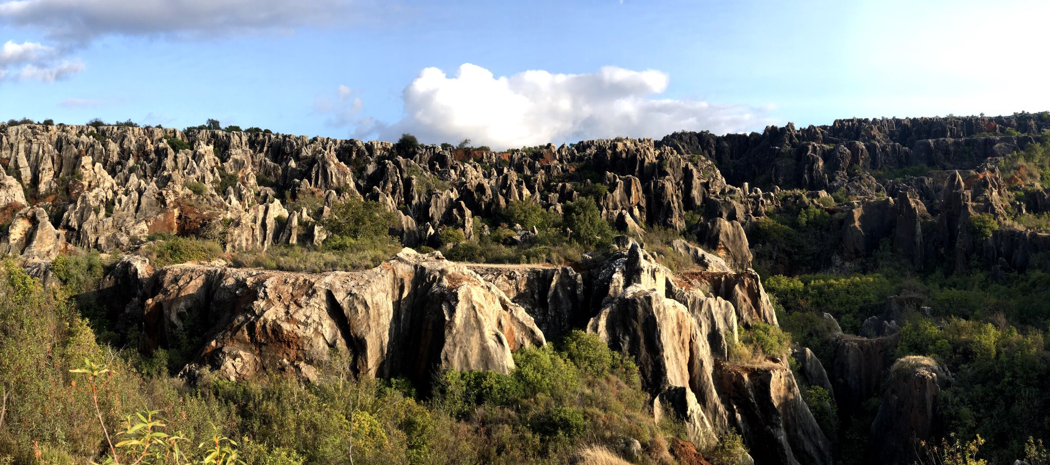

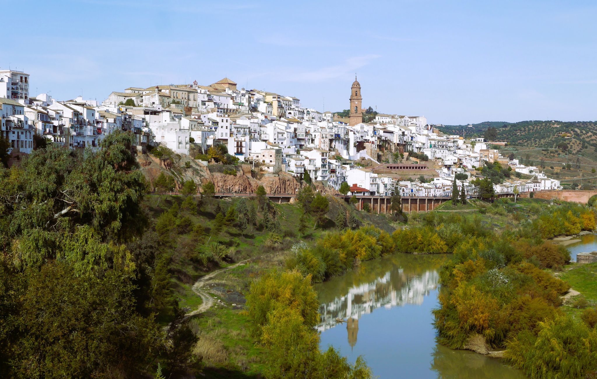
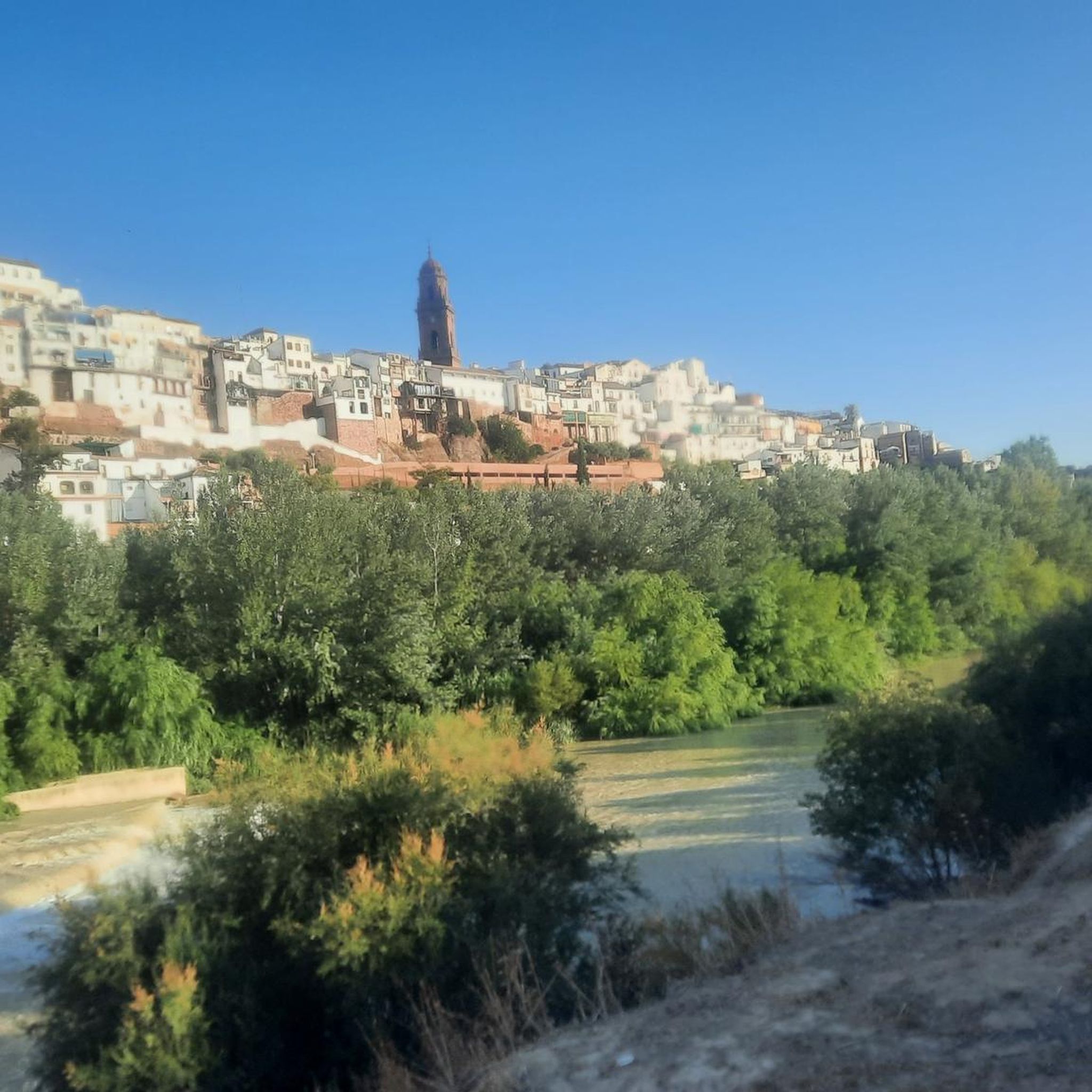


コミュニティからのヒント

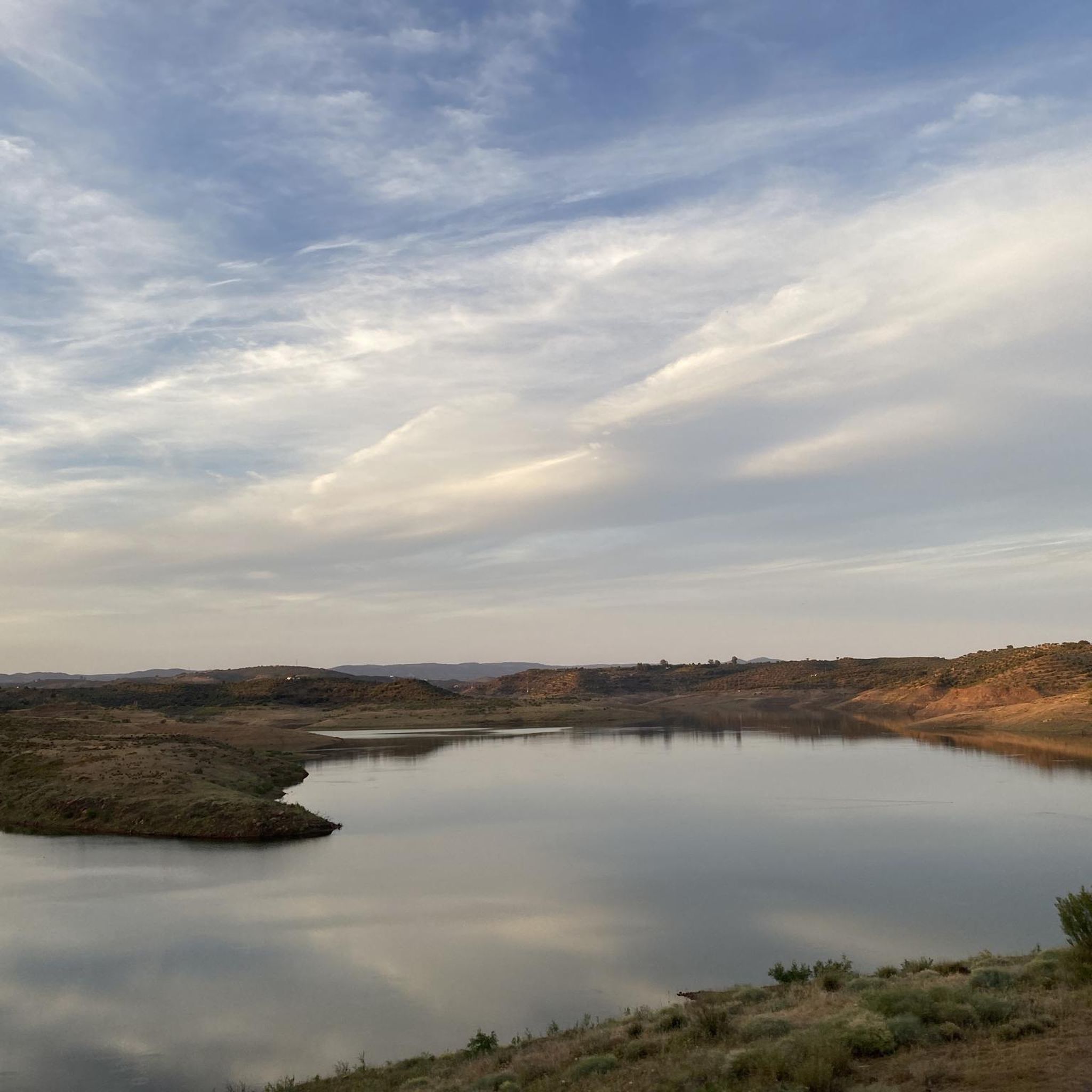
The Martín Gonzalo Reservoir is located on the Martín Gonzalo stream, in the municipalities of Montoro and Cardeña, in the province of Córdoba. The dam was built in 1983 and began operating in 1987. The natural surroundings of the reservoir are very picturesque, with a rich biodiversity that includes various species of flora and fauna. It is an ideal place to enjoy nature and do outdoor activities.
6
0

Small dam that collects water from the eastern mountains of the Sierra de Andújar National Park and is located north of the town of Montoro. The environment that surrounds it is full of olive trees and typical flora of this area of Andalusia.
1
0
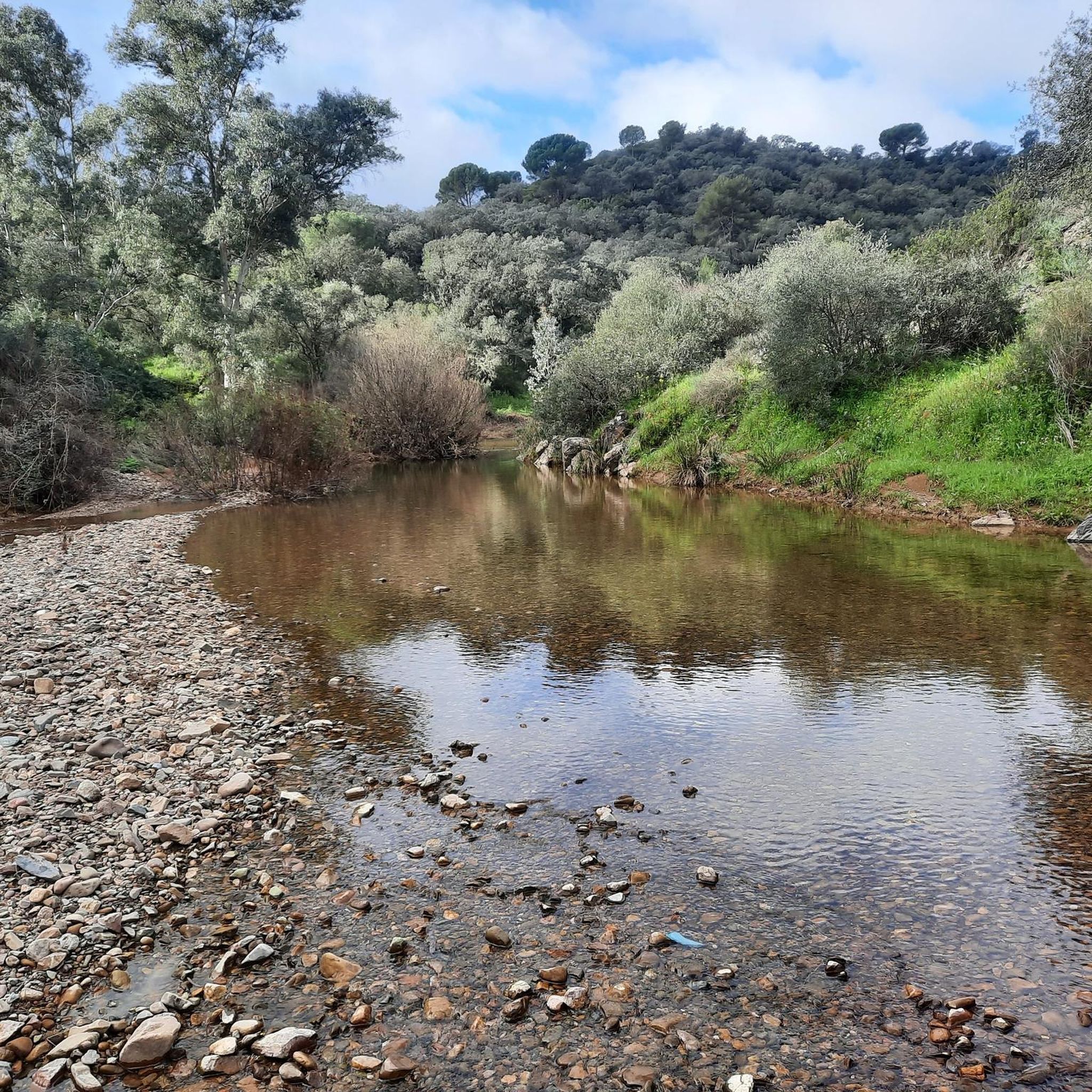
The path gives its name to the Río Martín Gonzalo, where a large number of "vados" appear that constantly cross this river element, in an incredible atmosphere surrounded by olive groves!
1
0

The Peregrino viewpoint is located about eight kilometers from the municipality of Marmolejo. Its denomination is dedicated to those pilgrims who come to the sanctuary of the Virgen de la Cabeza through the Sierra de Marmolejo. It is a good place to take a break and appreciate the views.
1
0

The Spa of Marmolejo is located along the Guadalquivir river situated at the foot of the Sierra Morena mountains. Popular tourist attraction. From the bridge of the A-420 highway you can see the glass dome of the spa and the river.
2
0

Agallarín is a town designed from scratch, projected by the INC (National Institute of Colonization) and carried out by the architect Carlos Arniches Moltó. The settlers had to live badly in some barracks close to the construction of the town but later they had a house and land to farm with animals, paying rent after which, after between 15 and 40 years, they were entitled to property.
2
0
This dam, belonging to the Guadalquivir Hydrographic Confederation, was inaugurated in 1987. It is a reservoir whose main purpose is to supply water to more than forty thousand residents. The dam has had problems with cracks and leaks since its construction, which at the time was a pioneer in the world.
3
0

Historic spa with three springs with healing principles for stomach, kidney, liver, etc. You can visit its beautiful gardens, the Interpretation Center of the Spa, the exceptional building of the springs for free (from November to April, the springs and the interpretation center are closed)
1
0
モントロでのの人気観光スポット

komootモバイルアプリでインスピレーションを得よう


さらに探索
他の地域の最高のランニングトレイル & ルートを見てみましょう。
