モントロのおすすめライド
4.6
(21)
2,179
ライダー
84
ライド
モントロ周辺のロードバイクルートをお探しですか?ここでは、komootが提供するモントロでのロードバイクライドのコレクション全体を評価して選び抜いた人気ルートをご紹介します。各ライドの詳細をぜひご覧ください。
最終更新日: 7月 21, 2026
57
ライダー
114km
05:15
1,360m
1,360m
This difficult 70.8-mile road cycling route through Parque Natural Sierra de Cardeña y Montoro offers challenging climbs and scenic olive gr
4
ライダー
50.9km
02:25
620m
620m
中程度のロードライド. ある程度のフィットネスレベルが必要です。 ツアーの一部に、未舗装のため走行が難しい箇所があるかもしれません。

無料新規登録
3
ライダー
84.3km
04:00
1,050m
1,050m
A difficult 52.4-mile road cycling route through Sierra de Cardeña y Montoro Natural Park with 3432 feet of elevation gain.
1
ライダー
29.5km
01:19
280m
280m
This easy 18.3-mile (29.5 km) road cycling route from Villa del Río explores the scenic agricultural roads and historical sites around Loper
59
ライダー
90.0km
04:14
1,130m
1,130m
難しいロードライド. 標準以上のフィットネスレベルが必要です。 全般的に舗装状態が良好で走行しやすい道です。
さらに多くのルートや他のユーザーのおすすめ情報を確認できます。
無料新規登録
すでにアカウントをお持ちですか?
おすすめのツアーは他のkomootユーザーが実際に経験した何千ものアクティビティに基づいています。



コミュニティからのヒント

In Lopera, we find one of the best examples of castles built by the Military Order of Calatrava in the province of Jaén. Declared a Cultural Monument in 1991, this fortress retains its original walled enclosure, although over the years it has also served as a residence and, in the mid-20th century, even as a winery.
0
0

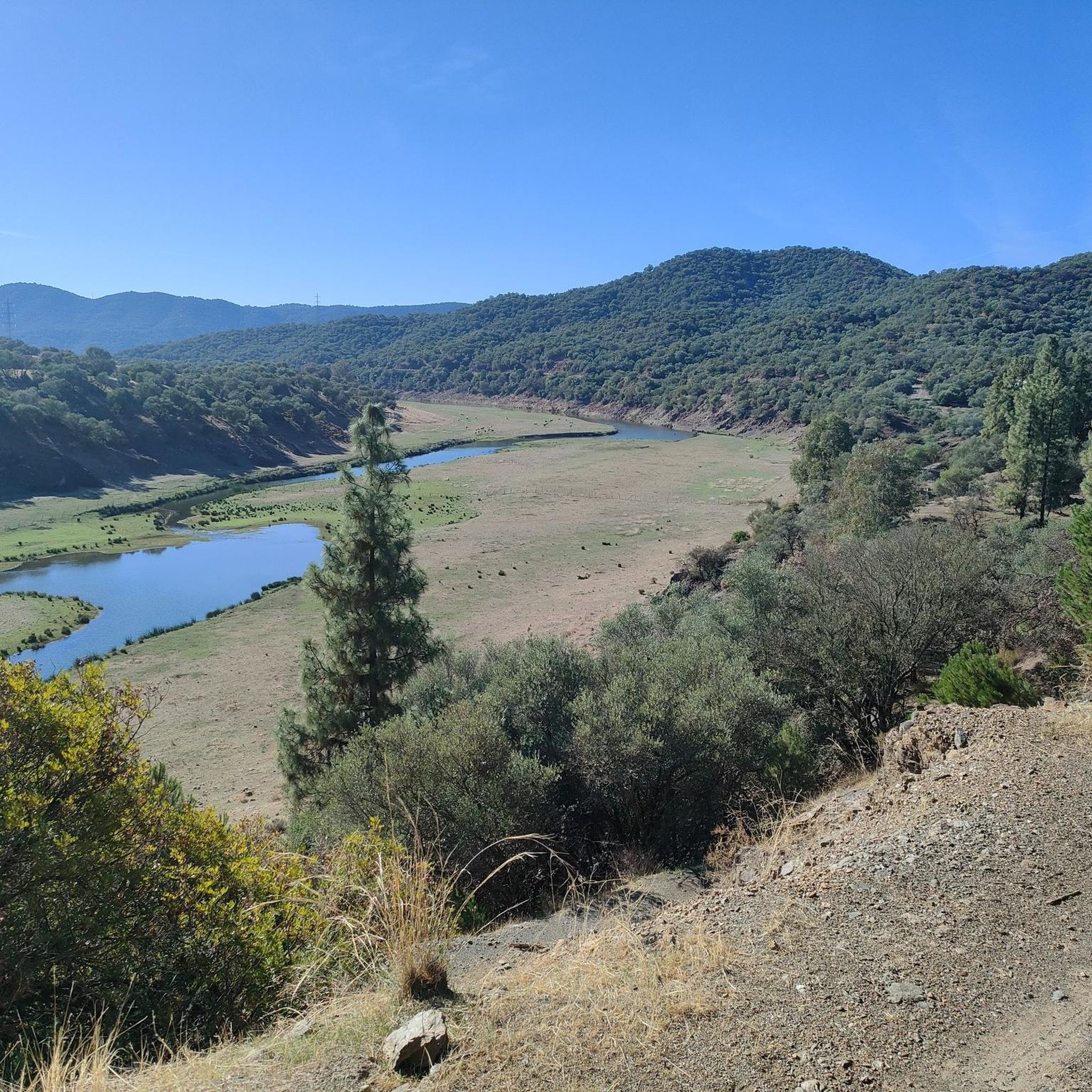
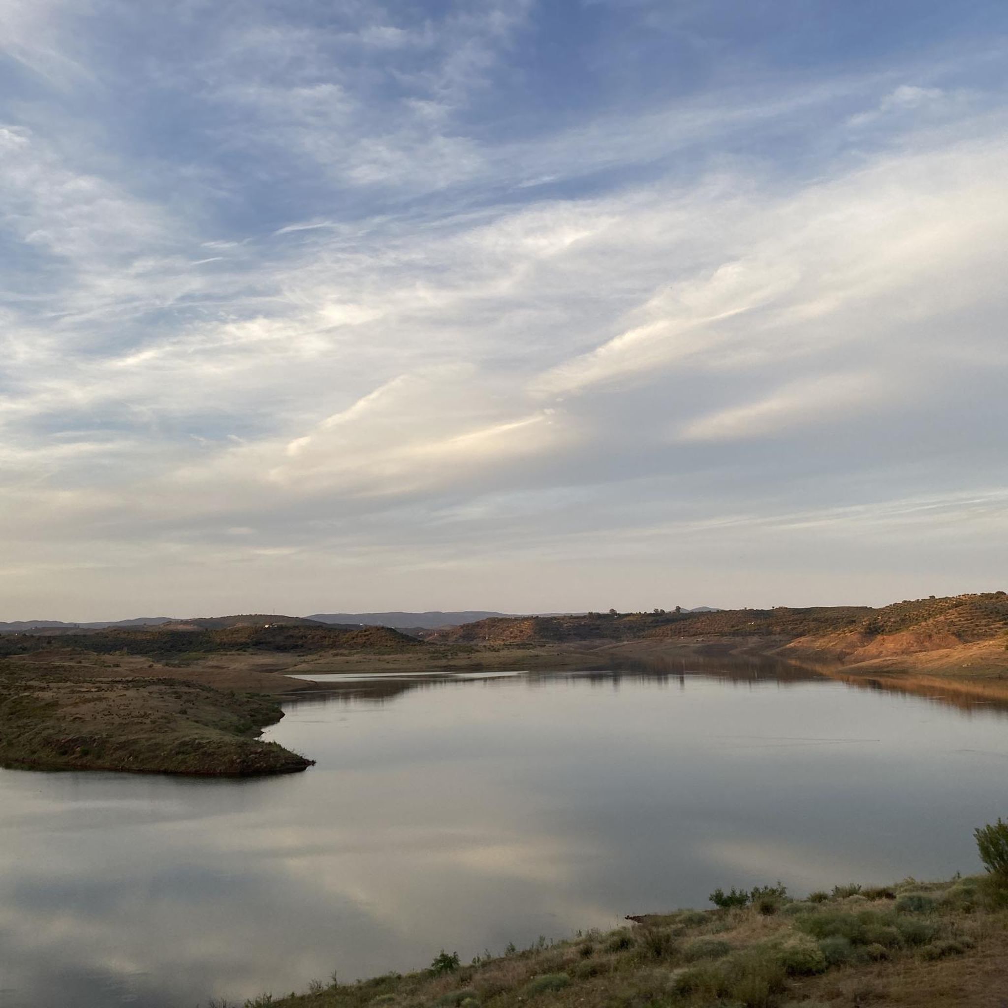
The El Arenoso reservoir regulates the waters of the river of the same name before reaching the Guadalquivir. It is a very recent reservoir, with what this entails for the life of the species that we can find in it. The waters began to fill it around 2007, and by 2010 it already reached levels close to 90%.
0
0

Reservoir fed by the river of the same name, which regulates its waters before reaching the Guadalquivir.
2
0
The most characteristic point of Pedro Abad is the parish church of Nuestra Señora de la Asunción from the 14th century. The town located in the meander of the Guadalquivir river was formerly very important in river traffic within this area of great agricultural potential.
2
0
A peculiar building, decorated for 50 years by a resident of Montoro, with 45 million shells inside and out. The visit costs 1 eur.
2
0
モントロでのの人気観光スポット

komootモバイルアプリでインスピレーションを得よう


さらに探索
他の地域の最高のロードサイクリングルートを見てみましょう。
