ゲルのおすすめウォーキング&ハイキングルート
4.5
(889)
6,859
ハイカー
18
ハイキング
ゲル周辺でのハイキングは、景色を満喫するのに最適な手段のひとつですが、適切なハイキングルートを見つけることは簡単ではありません。 ゲル周辺の人気ハイキング&ウォーキングコースを参考にすれば、行きたいルートをすぐに見つけられます。
最終更新日: 10月 9, 2026
5.0
(1)
88
ハイカー
3.52km
01:02
70m
70m
中程度のハイキング. あらゆるフィットネスレベルに適しています。 全般的に進みやすいルートです。安定して歩行できる技術が必要です。
5.0
(3)
101
ハイカー
5.27km
01:34
90m
90m
難しいハイキング. あらゆるフィットネスレベルに適しています。 安定して歩行できる技術、丈夫な靴、高標高地での登山経験が必要です。

5.0
(2)
31
ハイカー
難しいハイキング. 標準以上のフィットネスレベルが必要です。 安定して歩行できる技術、丈夫な靴、高標高地での登山経験が必要です。
4.7
(11)
70
ハイカー
9.76km
02:44
190m
190m
中程度のハイキング. ある程度のフィットネスレベルが必要です。 進みやすいルートです。あらゆるスキルレベルに適しています。
3.7
(3)
32
ハイカー
5.93km
01:53
130m
130m
中程度のハイキング. あらゆるフィットネスレベルに適しています。 全般的に進みやすいルートです。安定して歩行できる技術が必要です。
さらに多くのルートや他のユーザーのおすすめ情報を確認できます。
すでにアカウントをお持ちですか?
おすすめのツアーは他のkomootユーザーが実際に経験した何千ものアクティビティに基づいています。
無料アカウントで今日から始めよう
次の冒険が待っています。


コミュニティからのヒント

If you want to see what the arrival at the lake is like https://www.youtube.com/watch?v=2-kwjBhEkwU
1
0

The small and cosy Feixa refuge is located in the Catalan region of Cerdanya, at an altitude of 2,160 metres. It has just 12 places to stay overnight, but it has a shower service, meals and a bar.
0
0

Words are superfluous, you have to see it and enjoy it ;-)
1
0
Very easy ascent and impressive views.
1
0

Legend has it that this lake is cursed, so if someone drinks its water it will hurt them. There are those who say that fish cannot live and according to others yes, but when they are fished and put them in the pan to fry them they come to life and flee.
0
0
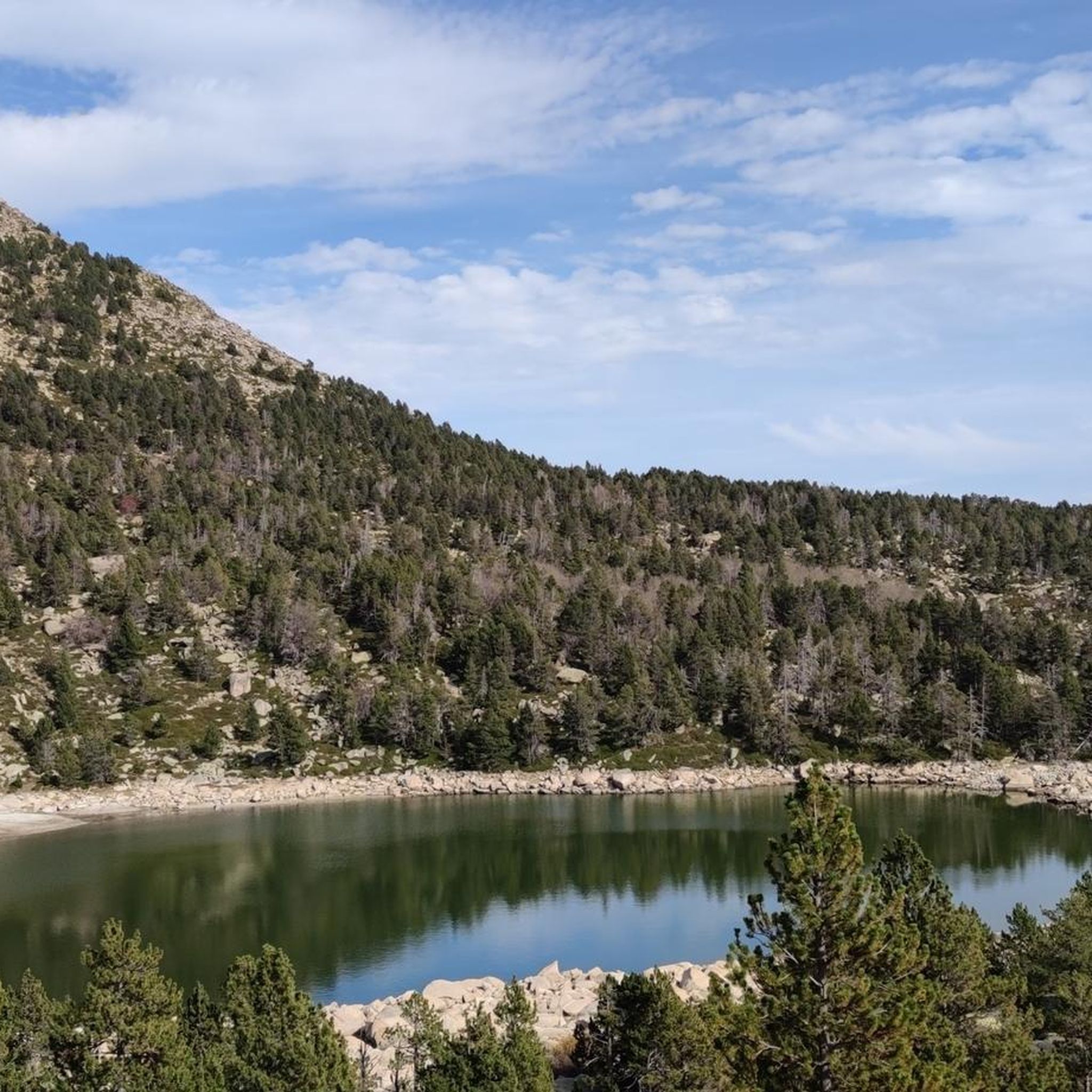
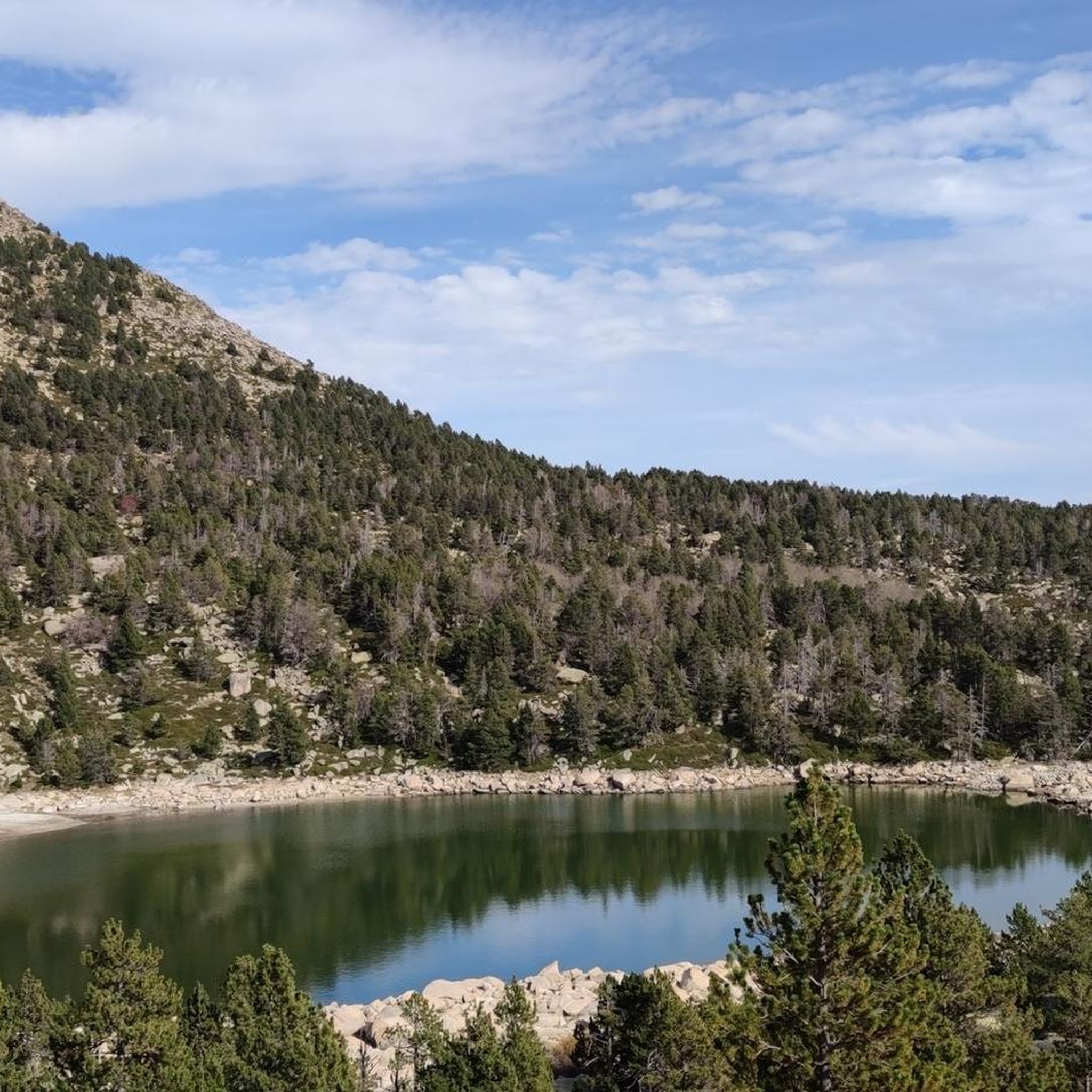
Lacustrel lake of glacial origin located in the town of Meranges, Cerdanya. It is located at 2250 m, at the head of the Tova valley. It has an area of 5.9 ha and a maximum depth of 13.5 m. It is bounded to the northwest by Puigpedrós (2914 m) and to the northeast by Pedró de la Tossa (2695 m).
1
0

Puigpedròs with its 2,911m is the highest peak in Catalan Cerdanya. Its ascent, although long, has no technical difficulties and allows us to reach a privileged viewpoint. At the top, the view stretches from Canigó to Aneto. It is an ascent of about 800 meters of difference in level in which we can invest between 5 and 7 hours to go up and down by its normal route. We can also extend the excursion and make a circular tour around Malniu lake, or through the Engorgs lakes and the GR-11. Very losing peak in case of encountering fog.
1
0

Beautiful route to do with family, parking at Refugi de Malniu for 5 euros
3
0

komootモバイルアプリでインスピレーションを得よう


さらに探索
他の地域の最高のハイキングを見てみましょう。
