ディンゴルフィングランダウのおすすめウォーキング&ハイキングルート
4.5
(1359)
8,014
ハイカー
860
ハイキング
ディンゴルフィングランダウでのハイキングに出かけて、ニーダーバイエルンのこのエリアを探索してみませんか?このガイドでご紹介するのは、komootがディンゴルフィングランダウでのハイキング・ウォーキングルートのコレクション全体を評価して選び抜いた、このエリアの人気ハイキングルートです。あなたに合った でのハイキングを見つけるには、他のユーザーがアップロードした役立つ情報や写真を閲覧し、各ルートに関するみんなの意見やコメントを参考にしましょう。
最終更新日: 10月 13, 2026
4.7
(94)
378
ハイカー
7.39km
01:53
20m
20m
初級者向けハイキング. あらゆるフィットネスレベルに適しています。 進みやすいルートです。あらゆるスキルレベルに適しています。
4.7
(95)
394
ハイカー
7.97km
02:02
30m
30m
中程度のハイキング. ある程度のフィットネスレベルが必要です。 進みやすいルートです。あらゆるスキルレベルに適しています。

4.7
(58)
200
ハイカー
10.2km
02:37
40m
40m
中程度のハイキング. ある程度のフィットネスレベルが必要です。 進みやすいルートです。あらゆるスキルレベルに適しています。
4.7
(59)
214
ハイカー
12.1km
03:08
70m
70m
中程度のハイキング. ある程度のフィットネスレベルが必要です。 進みやすいルートです。あらゆるスキルレベルに適しています。
4.8
(44)
190
ハイカー
8.11km
02:05
30m
30m
中程度のハイキング. ある程度のフィットネスレベルが必要です。 進みやすいルートです。あらゆるスキルレベルに適しています。
4.1
(23)
98
ハイカー
5.73km
01:34
90m
90m
初級者向けハイキング. あらゆるフィットネスレベルに適しています。 進みやすいルートです。あらゆるスキルレベルに適しています。
4.3
(31)
104
ハイカー
7.17km
01:51
40m
40m
初級者向けハイキング. あらゆるフィットネスレベルに適しています。 進みやすいルートです。あらゆるスキルレベルに適しています。
4.7
(27)
139
ハイカー
6.41km
01:39
30m
30m
初級者向けハイキング. あらゆるフィットネスレベルに適しています。 進みやすいルートです。あらゆるスキルレベルに適しています。
4.3
(31)
106
ハイカー
7.11km
01:52
60m
60m
初級者向けハイキング. あらゆるフィットネスレベルに適しています。 進みやすいルートです。あらゆるスキルレベルに適しています。
4.5
(34)
174
ハイカー
8.58km
02:10
10m
10m
中程度のハイキング. ある程度のフィットネスレベルが必要です。 進みやすいルートです。あらゆるスキルレベルに適しています。
さらに多くのルートや他のユーザーのおすすめ情報を確認できます。
すでにアカウントをお持ちですか?
おすすめのツアーは他のkomootユーザーが実際に経験した何千ものアクティビティに基づいています。
無料アカウントで今日から始めよう
次の冒険が待っています。
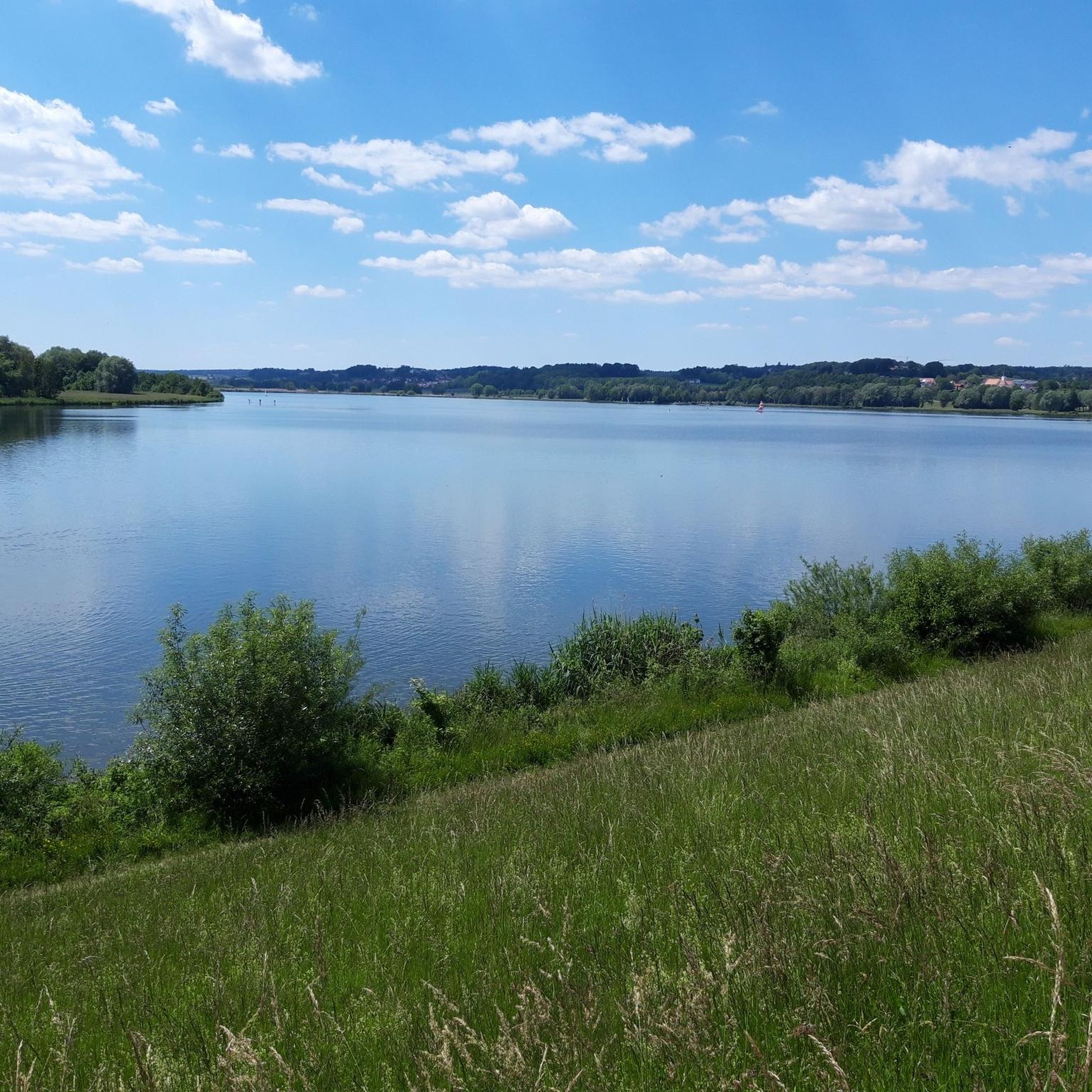
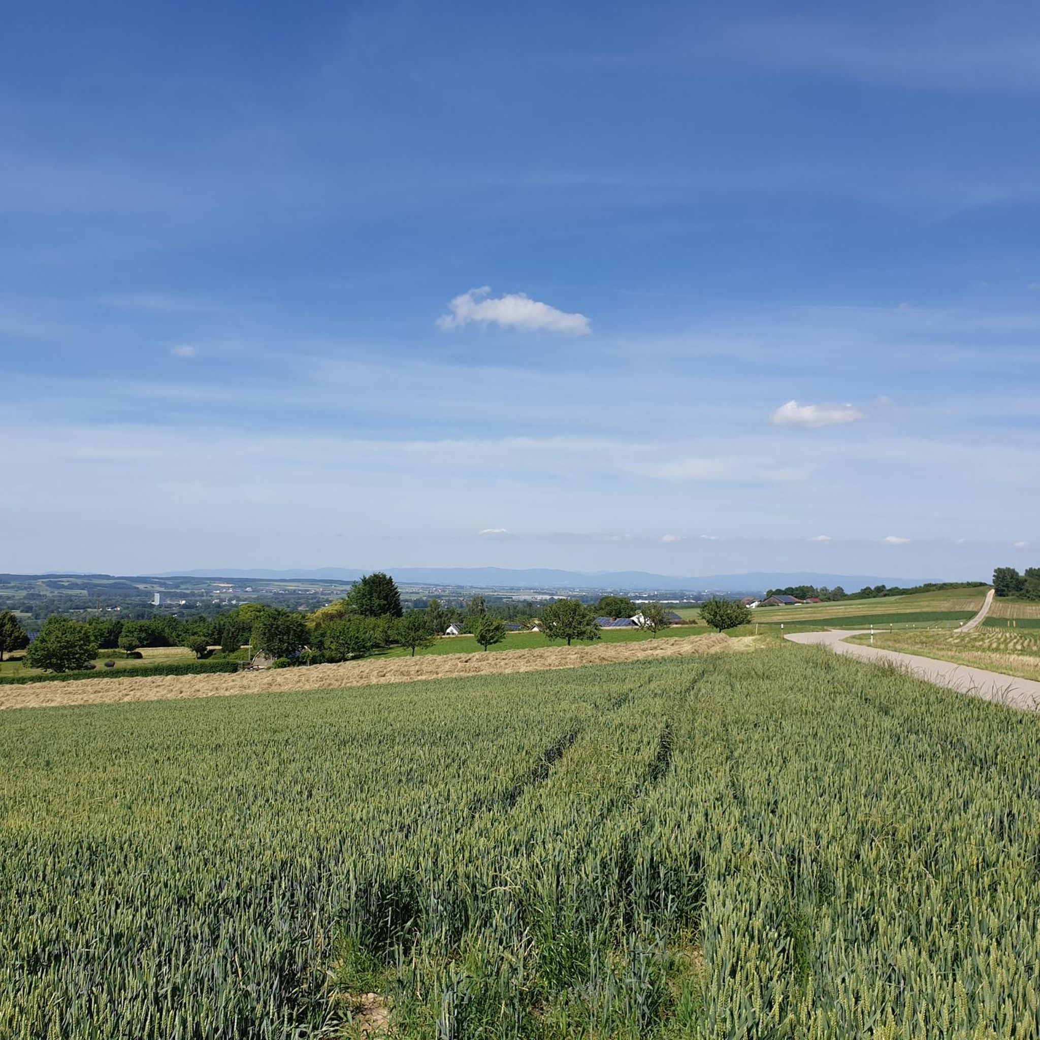
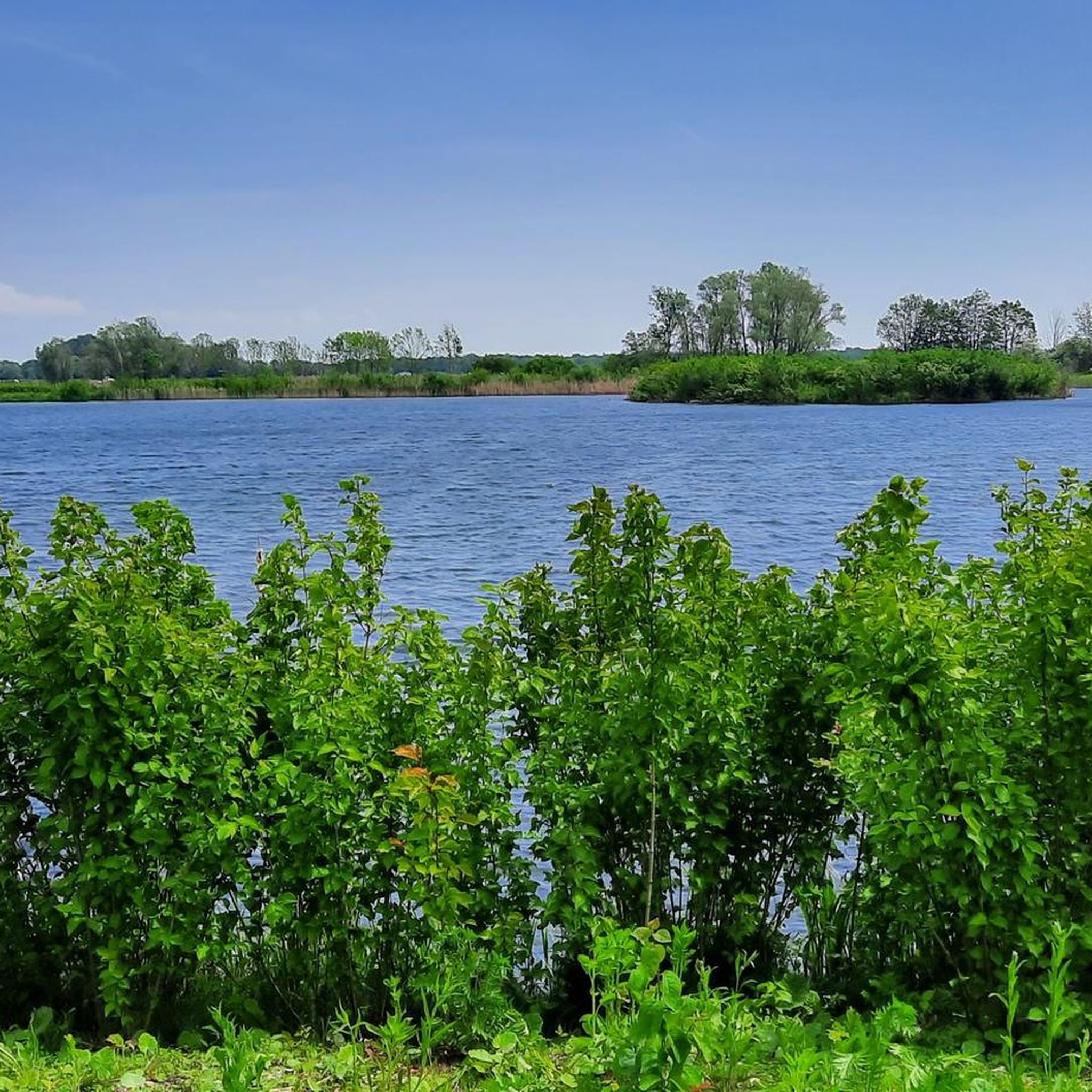
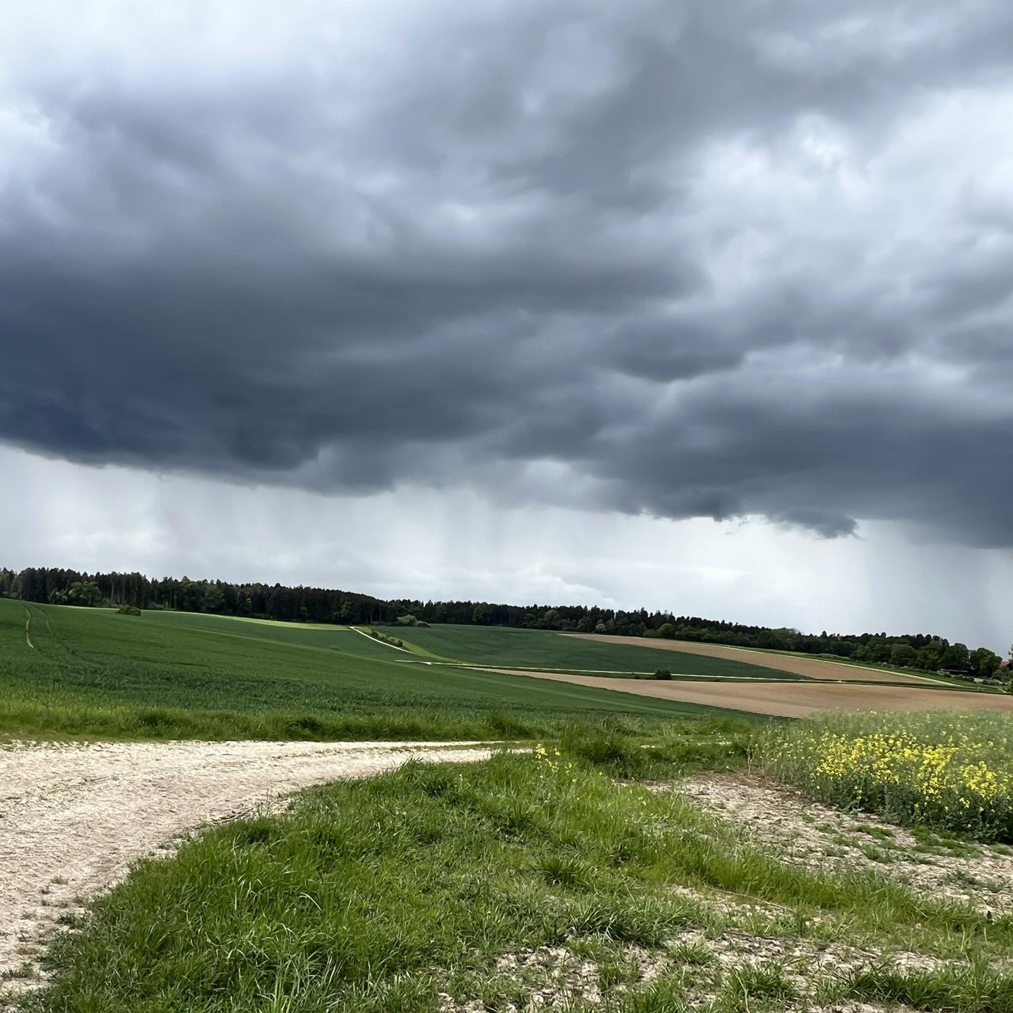


コミュニティからのヒント

Isar bridge that runs along the path
0
0

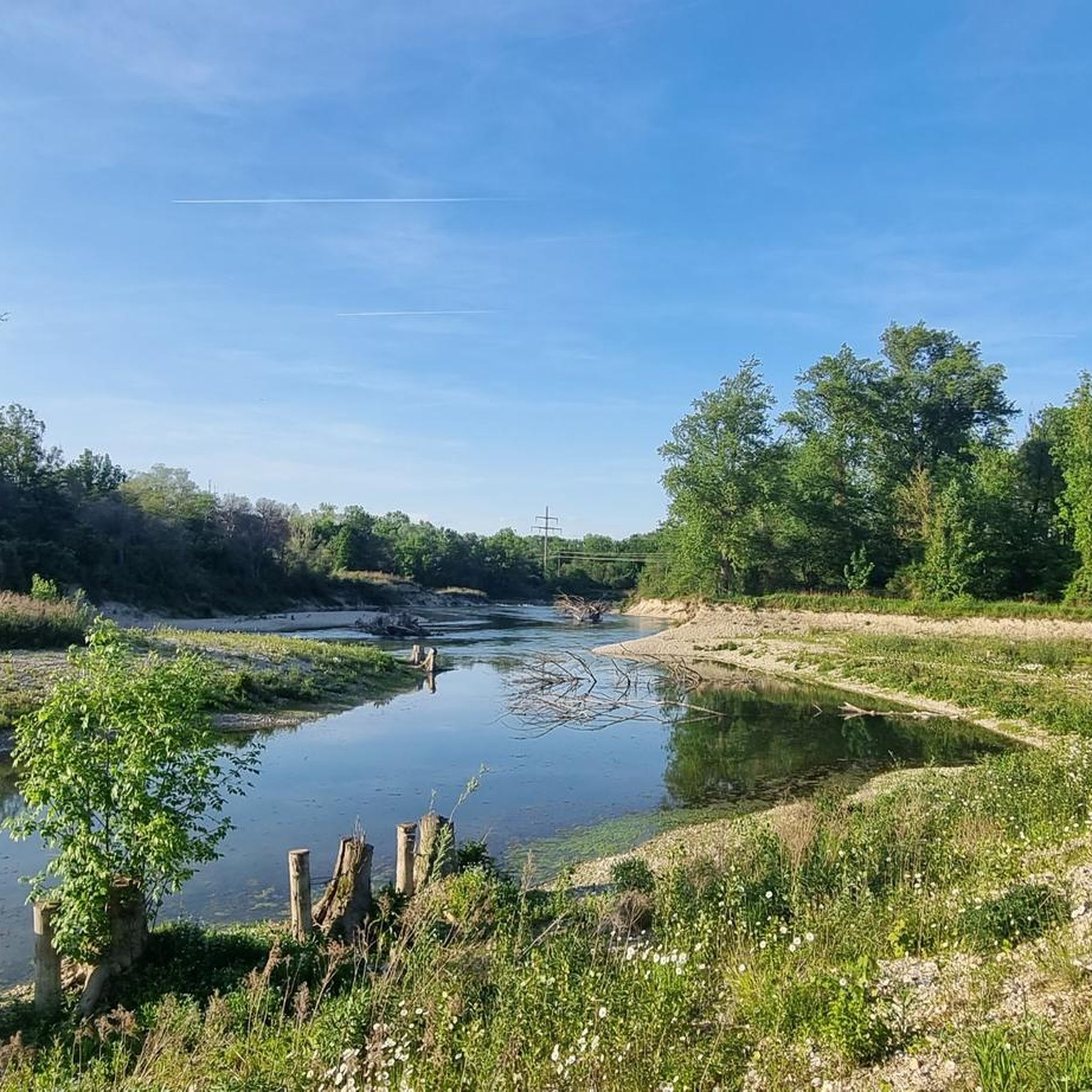
An interesting habitat due to the damming of the Isar.
3
0

The small path in is somewhat hidden! It's worth it! You might encounter some nettles! :-)
0
0

It's a kind of Oscar for conservationists: The renaturation of the canalized Isar River between Dingolfing and Landau won the European Union's "Life Award" environmental prize in May 2024. The joint project of the Landshut Water Management Authority and the Government of Lower Bavaria has transformed the canal-like Isar River into a free-flowing river with a tributary and a new island. For example, the rare bird species Little Ringed Plover has returned to newly created shallow water zones, and fish species such as the nase and barbel, which were almost extinct due to the canalization, can be seen again in the water – thanks to the new gravel banks and current. Source: https://www.br.de/nachrichten/bayern/eu-zeichnet-isar-renaturierung-mit-umwelt-award-aus,UELArZA
2
0
The youth campsite is idyllically situated between the Isar River and the adjacent forests. The campsite's tepees feature a well-equipped kitchen, restrooms, and a lounge, as well as a cozy wood-burning stove. An all-weather roof provides shelter from the sun or inclement weather. The campsite is suitable for youth groups of up to 70 people. Source: https://www.jugendzeltplatz-mamming.de/
1
0
On the steep slope high above the Isar River stands the village church of St. John, first documented in 1148. Inside, the church, rebuilt around 1500, houses an impressive late Gothic winged altarpiece depicting John the Baptist in his shrine on the left and John the Evangelist on the right as the main figures. The masterful carvings on the wings depict scenes from the lives of the saints. In the lower altarpiece of the left wing, the baptism of Jesus by John is relocated from the Jordan to the Growing Rock, making it the oldest depiction of this natural monument. Saints Peter and James the Elder are inserted on either side of the shrine; the carved decorative top above contains a crucifixion group in the center, and next to it, Saints Simon, Bartholomew, and Sebastian. When the wings are closed, the two shrine guardians, St. Florian and St. George, are visible. Finally, the altar base displays the coats of arms of the founder, Jörg Wieland, and his wife, Susanna Behaim. Another special feature is the sacrament niche in the choir. Until the Gothic period, the Blessed Sacrament was kept in such small houses, only then were tabernacles introduced. The Baroque paintings of Jesus and the Twelve Apostles in the gallery are incomplete: The Savior, Peter, and John were removed during the subsequent installation of the organ. The organ case, dating from 1724, is a beautiful creation of the early Rococo period. The organ was originally built for the Oberaltaich Monastery and came to Usterling in 1857. The small fountain in front of the church is fed by the spring of the Growing Rock. Source: https://www.landau-isar.de/freizeit-tourismus/tourismus-und-kultur/sehenswuerdigkeiten/dorfkirche-usterling
1
0
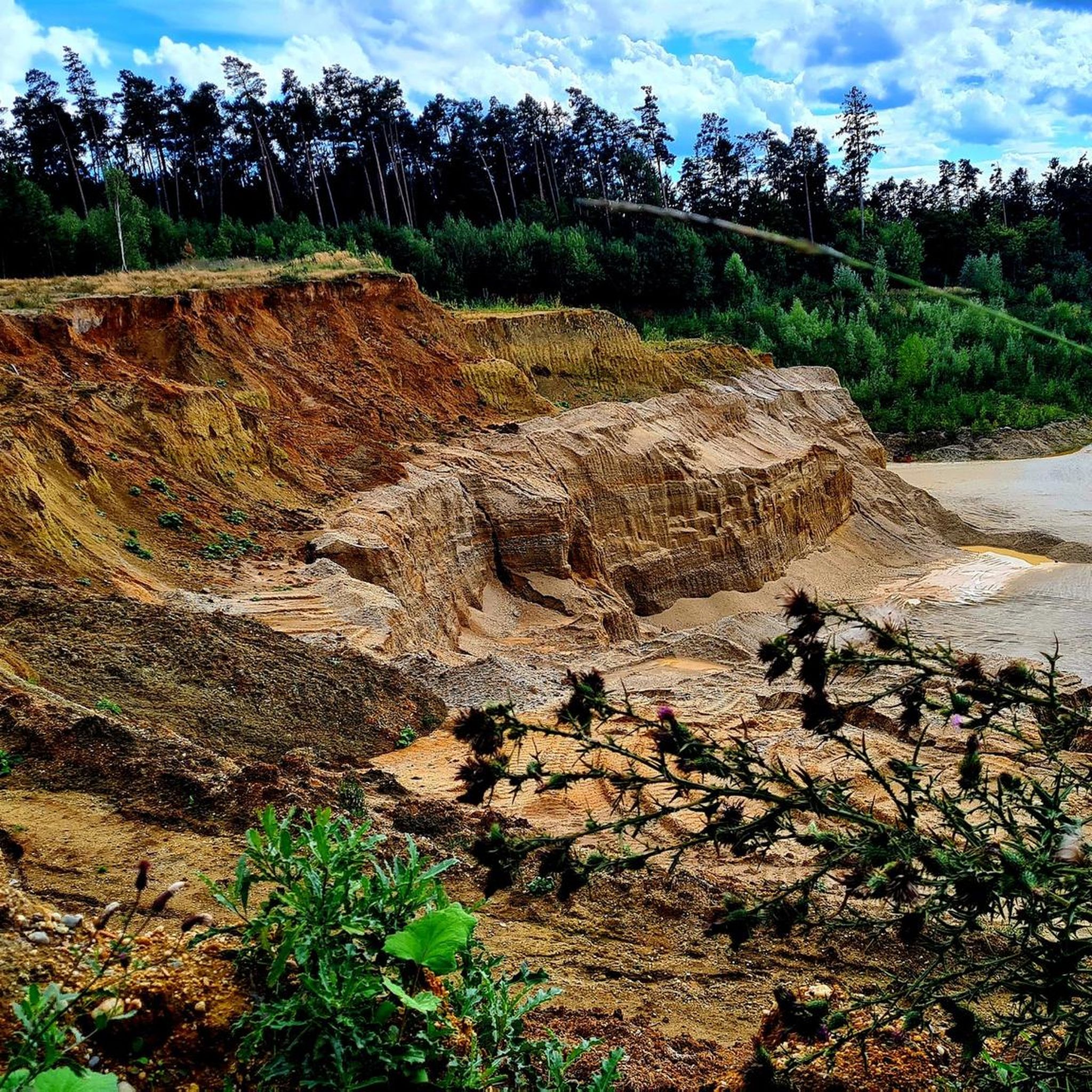
The Goben sub-area encompasses a valuable section of the Isar floodplains north of the Isar, between Goben and Harburg. The area is bordered by the Isar dams to the south and a backwater dike to the north, thus largely cutting it off from the river's dynamics. Nevertheless, large, structurally rich riparian forest areas and oxbow lake complexes with numerous rare and endangered animal and plant species can still be found here. Furthermore, the sub-area is home to an extremely valuable burn area. A burn is a dry, open area in an otherwise moist riparian forest that developed on a gravel deposit. High-quality calcareous dry grassland is found here. Source: https://www.wwa-la.bayern.de/projekte/isar_life/projektgebiet/index.htm
2
0
The church is much more visible from the opposite bank of the Isar.
1
0
ディンゴルフィングランダウでのの人気ルート
ディンゴルフィングランダウでのの人気観光スポット

komootモバイルアプリでインスピレーションを得よう


探していたものは見つかりませんでしたか?
ディンゴルフィングランダウの下にある他のハイキングをチェックして、目的地で完璧なルートを見つけましょう。
さらに探索
他の地域の最高のハイキングを見てみましょう。
