ブリンクムのおすすめウォーキング&ハイキングルート
4.5
(1621)
8,430
ハイカー
626
ハイキング
ブリンクム 周辺でおすすめのハイキングやウォーキングを楽しんでいただけるように、このエリアの小径やルートを集めたkomootコレクション全体を見直しました。 以下で各ルートの詳細をご覧になり、ブリンクム周辺の大自然を満喫する際の参考にしてください。
最終更新日: 10月 15, 2026
3.9
(9)
19
ハイカー
27.2km
06:53
50m
50m
難しいハイキング. 標準以上のフィットネスレベルが必要です。 進みやすいルートです。あらゆるスキルレベルに適しています。
4.5
(2)
11
ハイカー
4.25km
01:04
10m
10m
初級者向けハイキング. あらゆるフィットネスレベルに適しています。 進みやすいルートです。あらゆるスキルレベルに適しています。

16
ハイカー
2.97km
00:45
0m
0m
初級者向けハイキング. あらゆるフィットネスレベルに適しています。 進みやすいルートです。あらゆるスキルレベルに適しています。
15
ハイカー
3.59km
00:55
10m
10m
初級者向けハイキング. あらゆるフィットネスレベルに適しています。 進みやすいルートです。あらゆるスキルレベルに適しています。
8
ハイカー
3.43km
00:52
0m
0m
初級者向けハイキング. あらゆるフィットネスレベルに適しています。 進みやすいルートです。あらゆるスキルレベルに適しています。
さらに多くのルートや他のユーザーのおすすめ情報を確認できます。
すでにアカウントをお持ちですか?
おすすめのツアーは他のkomootユーザーが実際に経験した何千ものアクティビティに基づいています。
無料アカウントで今日から始めよう
次の冒険が待っています。
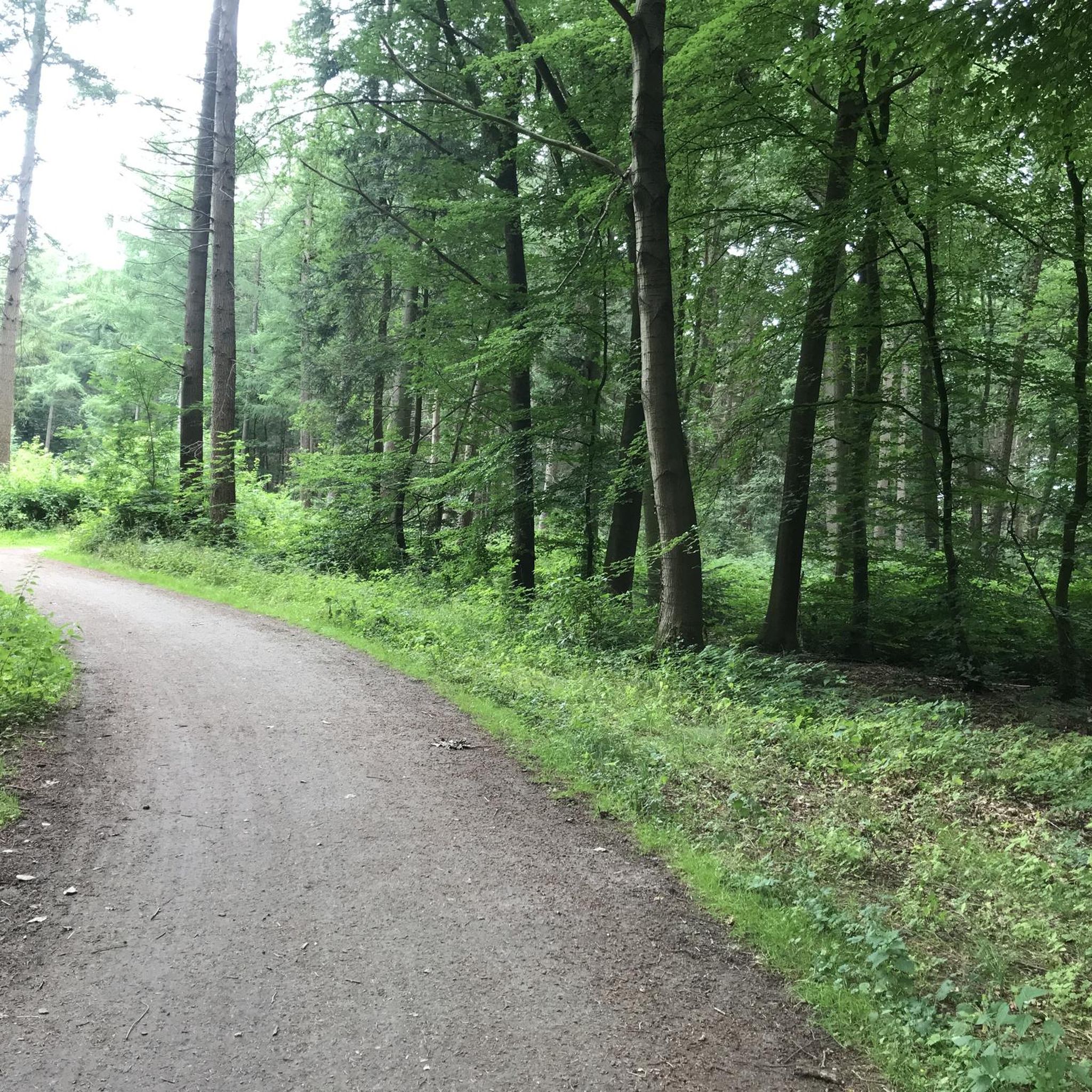
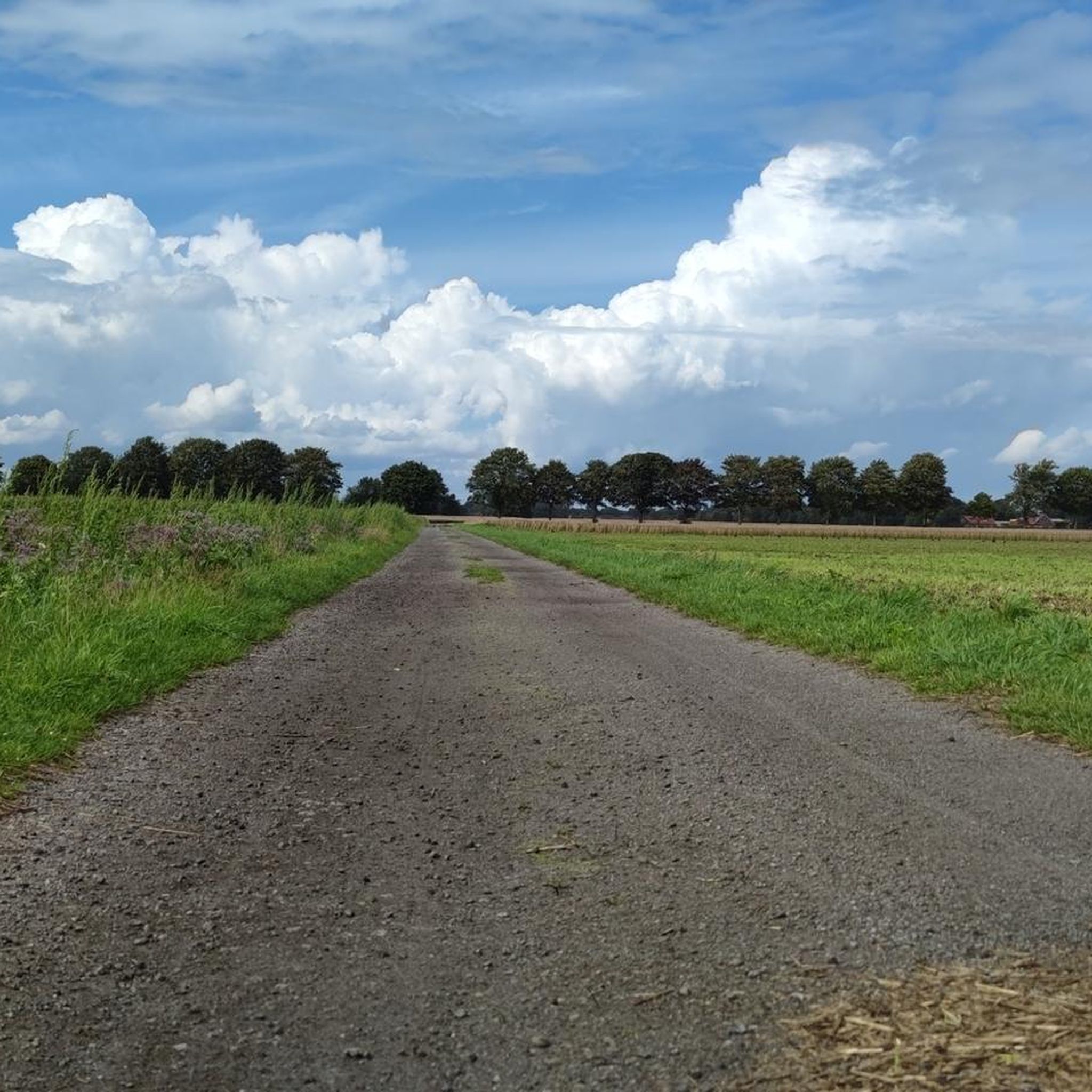
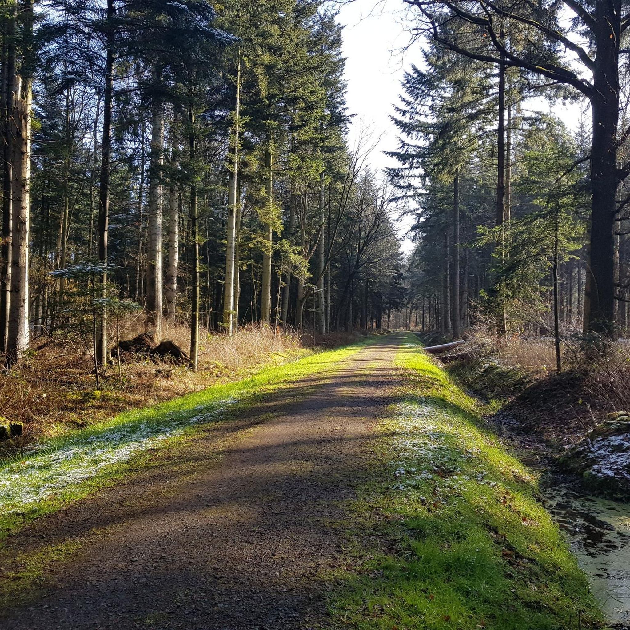
コミュニティからのヒント

オストフリースラントはニーダーザクセン州で最も密な生垣のネットワークを持っています。生垣は、人間の手によって作られた文化景観の一部です。
0
0
この自然保護区は、採掘と排水によって著しく変化した高層湿原地域です。4つのサブエリアで構成されています。 いくつかのハイキングルートが利用可能です
0
0

Nestled in the heart of the historic old town, with its artfully renovated houses and facades, charming alleyways, and inviting little shops and cafes, lies the marina. Adjacent to the marina, the waterfront promenade leads to the long pedestrian zone, lined with attractive shops for browsing and numerous cafes and restaurants for relaxing and enjoying the atmosphere. This unique location of the marina offers skippers a special environment. Centrally located, it provides easy access to a variety of leisure activities. The modern harbor development also offers a beautiful backdrop and an unforgettable mooring experience. The Leer harbor is connected to the North Sea via the Leda and Ems waterways and is located 48 nautical miles away. A sea lock allows access to the harbor regardless of the tides. For easy access via the waterways, please consult the sea lock's tide tables.
0
0

There are no typical "East Frisian houses" at this point. This is also not the old town. This point is the pedestrian/shopping street in Leer.
4
0

🌊Independent of the tide🌊. Great place to give your stressed soul a break, great overall impression💙. Great places to stop for a bite to eat🍴🍹🍷. Rowing regattas 🚣🚣♀️🚣♂️ that are worth seeing often take place here🏁.
2
0

I like the Frisian architectural style.
2
1
This is a really beautiful spot - sometimes with rowers - and sometimes with fountains :-)
4
0

In 2003, the dilapidated ship was threatened with being scrapped. This prompted some Leer residents to take action: They had the wreck towed to Leer, founded an association to restore the steamer and set to work. They received a lot of support, but it still took 13 years and over 60,000 hours of work to restore the old steamer to new beauty.
11
0
ブリンクムでのの人気観光スポット

komootモバイルアプリでインスピレーションを得よう


さらに探索
他の地域の最高のハイキングを見てみましょう。
