国立公園エストレーラのおすすめウォーキング&ハイキングルート
4.3
(1400)
5,868
ハイカー
123
ハイキング
国立公園エストレーラでおすすめのハイキングやウォーキングをお探しですか?国立公園エストレーラが誇るこの美しい自然公園周辺のルートを集めたkomootコレクションを参考にしてください。 ここでは、国立公園エストレーラの人気ハイキングコースを紹介しています。魅力的なルートが見つかったら、さっそく冒険に出かけましょう。
最終更新日: 7月 7, 2026
4.6
(185)
782
ハイカー
8.86km
02:32
210m
210m
中程度のハイキング. ある程度のフィットネスレベルが必要です。 進みやすいルートです。あらゆるスキルレベルに適しています。
4.5
(119)
433
ハイカー
11.1km
03:22
200m
200m
難しいハイキング. ある程度のフィットネスレベルが必要です。 安定して歩行できる技術、丈夫な靴、高標高地での登山経験が必要です。

無料新規登録
4.8
(64)
674
ハイカー
11.9km
03:30
250m
420m
中程度のハイキング. ある程度のフィットネスレベルが必要です。 進みやすいルートです。あらゆるスキルレベルに適しています。
4.9
(68)
298
ハイカー
11.6km
04:04
610m
610m
難しいハイキング. ある程度のフィットネスレベルが必要です。 安定して歩行できる技術、丈夫な靴、高標高地での登山経験が必要です。
4.8
(79)
271
ハイカー
7.23km
02:26
360m
360m
中程度のハイキング. ある程度のフィットネスレベルが必要です。 進みやすいルートです。あらゆるスキルレベルに適しています。
さらに多くのルートや他のユーザーのおすすめ情報を確認できます。
無料新規登録
すでにアカウントをお持ちですか?
おすすめのツアーは他のkomootユーザーが実際に経験した何千ものアクティビティに基づいています。



コミュニティからのヒント


The Devil's Horns are a prominent granite rock formation with two horn-like points, located in the Serra da Estrela mountain range, near Lapa dos Dinheiros and Senhora do Desterro (not in Gerês, but in Seia, Portugal). They are the highlight of a famous circular hiking trail that follows a water channel and the Caniça stream, offering stunning landscapes, lagoons, and waterfalls. 👍🥾
0
0
The history of Manteigas is linked to the abundance of livestock and butter production, which gave rise to its name. It's a central location in the Serra da Estrela mountain range, known for its natural heritage, such as the Zêzere Glacial Valley, and its thermal springs, with sulphurous waters at CISE. Founded with its own municipality, the town has a rich cultural and ethnographic history, also standing out for its wool production (Burel Factory) and the beauty of the Serra da Estrela Natural Park, making it a strategic point for exploring the mountains. 👍🥾
0
0

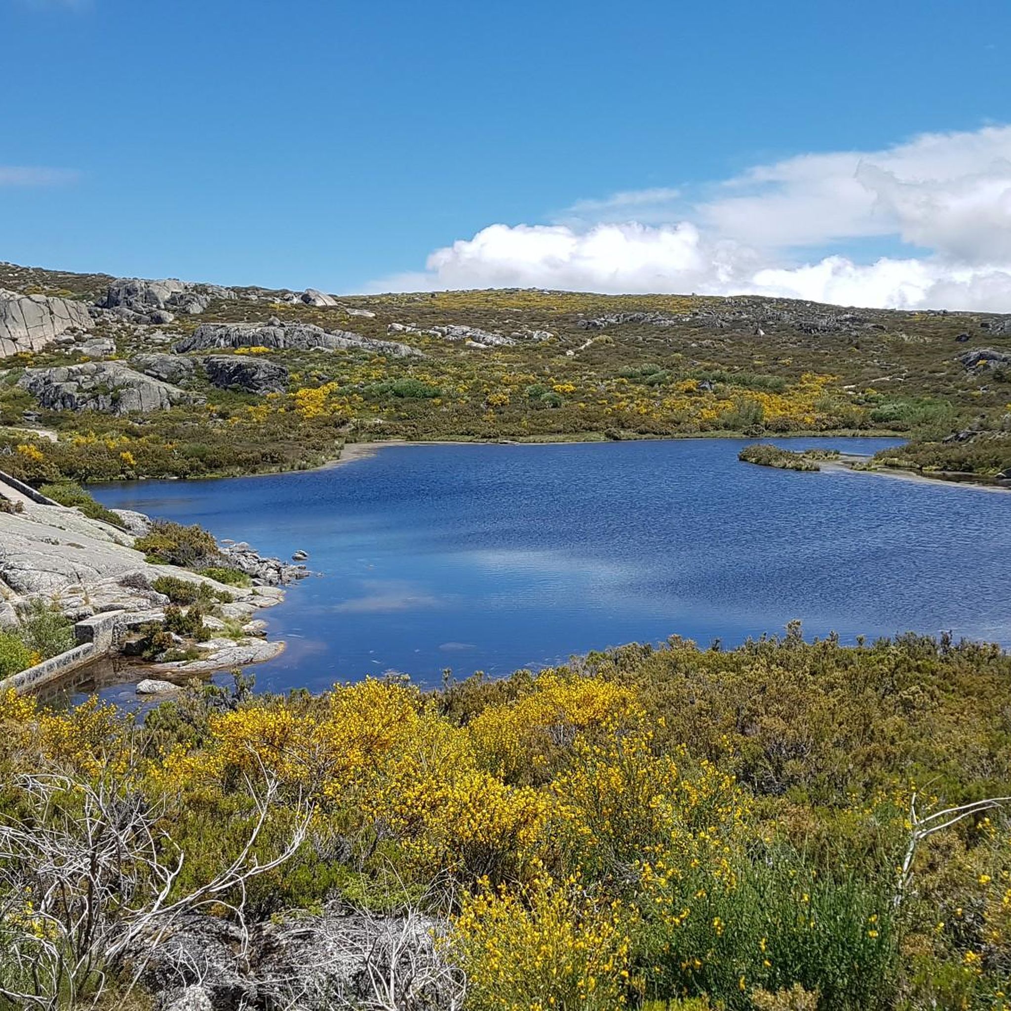
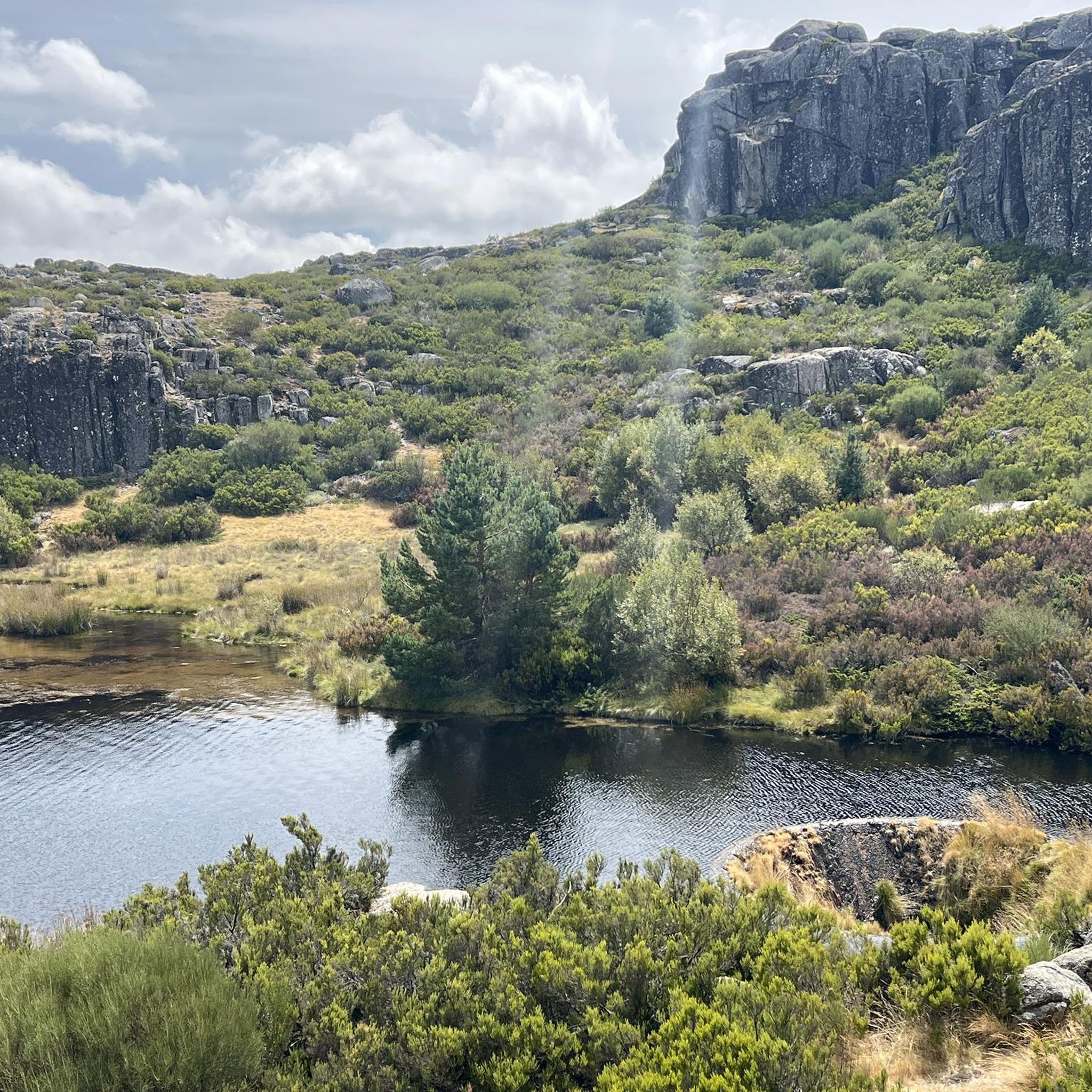
Covão dos Conchos is an artificial lagoon located in the Serra da Estrela Natural Park, Portugal, near the mountain village of Sabugueiro. Covão dos Conchos became famous for its bell-mouth spillway[1]. The spillway was built in 1955 to allow water to be transferred from the Ribeira das Naves River to Lagoa Comprida. It is part of the Serra da Estrela Hydroelectric System. This science fiction-style spillway became famous when photographs of the hole went viral on social media in 2016. Over the past 60 years, the growth of vegetation at the funnel's mouth has created extraordinary biodiversity and increased its ethereal allure. It is 4.6 meters high and 48 meters in circumference. The tunnel that collects the water is 1,519 meters long.
2
0
Covão dos Conchos is an artificial lagoon located in the Serra da Estrela Natural Park, Portugal, near the mountain village of Sabugueiro. Covão dos Conchos became famous for its bell-mouth spillway[1]. The spillway was built in 1955 to allow water to be transferred from the Ribeira das Naves River to Lagoa Comprida. It is part of the Serra da Estrela Hydroelectric System. This science fiction-style spillway became famous when photographs of the hole went viral on social media in 2016. Over the past 60 years, the growth of vegetation at the funnel's mouth has created extraordinary biodiversity and increased its ethereal allure. It is 4.6 meters high and 48 meters in circumference. The tunnel that collects the water is 1,519 meters long.
1
0
The Lapa dos Dinheiros river beach is in perfect harmony with nature. Located in the parish of Lapa dos Dinheiros, on the Caniça River, a right-bank tributary of the Alva River, this bathing area is nestled in a mountainous landscape dominated by the Lapa Souto (south of Lapa) and imposing granite outcrops. With clear water, very appealing for swimming, the beach boasts the award for accessible beach and has lifeguards and a bar available to visitors. The rugged terrain of the valley causes the river to form a succession of small waterfalls nearby. The Lapa Souto, in addition to its valuable collection of centuries-old chestnut trees, is also home to a high level of biodiversity. From the bridge, a pedestrian path leads to the Moura Hole and a viewpoint over the Caniça Waterfalls. The Buraco da Moura is a natural cave system created by the sliding and accumulation of large granite blocks, which formed a complex system of rooms and galleries. How to get there? Once in Seia, follow the EN231 to S. Romão. From there, continue uphill for about 5 km, toward Loriga/Lapa, until you find the sign for Lapa dos Dinheiros on the left. Once inside the town, simply follow the beach signs. Coordinates: 40º 23′ 07.0″ N / 7º 41′ 50.1″ W
1
0

A beautiful nature trail, about 9 km round trip to Covão dos Conchos. Unfortunately, on August 15th, the water couldn't reach the hole and thus reveal the waterfalls. It's a reservoir, part of the Serra da Estrela hydroelectric system. A funnel-shaped drainage structure that allows water to flow from this body of water to Lagoa Comprida. The spillway was built in 1955 to divert water from Ribeira das Naves to Lagoa Comprida. Over the past 60 years, moss and foliage have grown over the mouth of the funnel, creating a captivating spectacle. It is 4.6 meters high and 4.8 meters in circumference. The tunnel that collects the water is 1,519 meters long. It's a stunning place to visit, not only for the combination of human intervention and nature, but also for the surrounding landscape.
2
1
This reservoir, part of the Serra da Estrela hydroelectric system, is a popular tourist destination. Part of this attraction comes from a funnel-shaped drainage structure that allows water to flow from this body of water to Lagoa Comprida. The spillway was built in 1955 to divert water from Ribeira das Naves to Lagoa Comprida. The conical spillway was little known until photos of the hole went viral in 2016. Over the past 60 years, moss and foliage have grown over the mouth of the funnel, creating a captivating spectacle. It is 4.6 meters high and 4.8 meters in circumference. The tunnel that collects the water is 1,519 meters long. It is a stunning place to visit, not only for the combination of human intervention on nature, but also for the surrounding landscape. The trail from Lagoa Comprida leads here is truly beautiful in any season. Bring windbreaker and water.
2
0
国立公園エストレーラでのの人気観光スポット

komootモバイルアプリでインスピレーションを得よう


さらに探索
他の地域の最高のハイキングを見てみましょう。
