ナチュラルパークエスターヴェーガードーズのおすすめウォーキング&ハイキングルート
4.4
(819)
2,801
ハイカー
309
ハイキング
ナチュラルパークエスターヴェーガードーズでおすすめのハイキングやウォーキングをお探しですか?ナチュラルパークエスターヴェーガードーズが誇るこの美しい自然公園周辺のルートを集めたkomootコレクションを参考にしてください。 ここでは、ナチュラルパークエスターヴェーガードーズの人気ハイキングコースを紹介しています。魅力的なルートが見つかったら、さっそく冒険に出かけましょう。
最終更新日: 10月 4, 2026
4.7
(15)
13
ハイカー
初級者向けハイキング. あらゆるフィットネスレベルに適しています。 進みやすいルートです。あらゆるスキルレベルに適しています。
4.8
(4)
17
ハイカー
4.23km
01:04
0m
0m
初級者向けハイキング. あらゆるフィットネスレベルに適しています。 進みやすいルートです。あらゆるスキルレベルに適しています。

5.0
(1)
6
ハイカー
3.46km
00:53
10m
10m
初級者向けハイキング. あらゆるフィットネスレベルに適しています。 進みやすいルートです。あらゆるスキルレベルに適しています。
1.0
(1)
1
ハイカー
8.56km
02:10
0m
中程度のハイキング. ある程度のフィットネスレベルが必要です。 進みやすいルートです。あらゆるスキルレベルに適しています。
1.0
(1)
1
ハイカー
初級者向けハイキング. あらゆるフィットネスレベルに適しています。 進みやすいルートです。あらゆるスキルレベルに適しています。
さらに多くのルートや他のユーザーのおすすめ情報を確認できます。
すでにアカウントをお持ちですか?
おすすめのツアーは他のkomootユーザーが実際に経験した何千ものアクティビティに基づいています。
無料アカウントで今日から始めよう
次の冒険が待っています。
コミュニティからのヒント

Unfortunately, it was freezing cold and sleet. It was too slippery. But we'll be back!
1
0

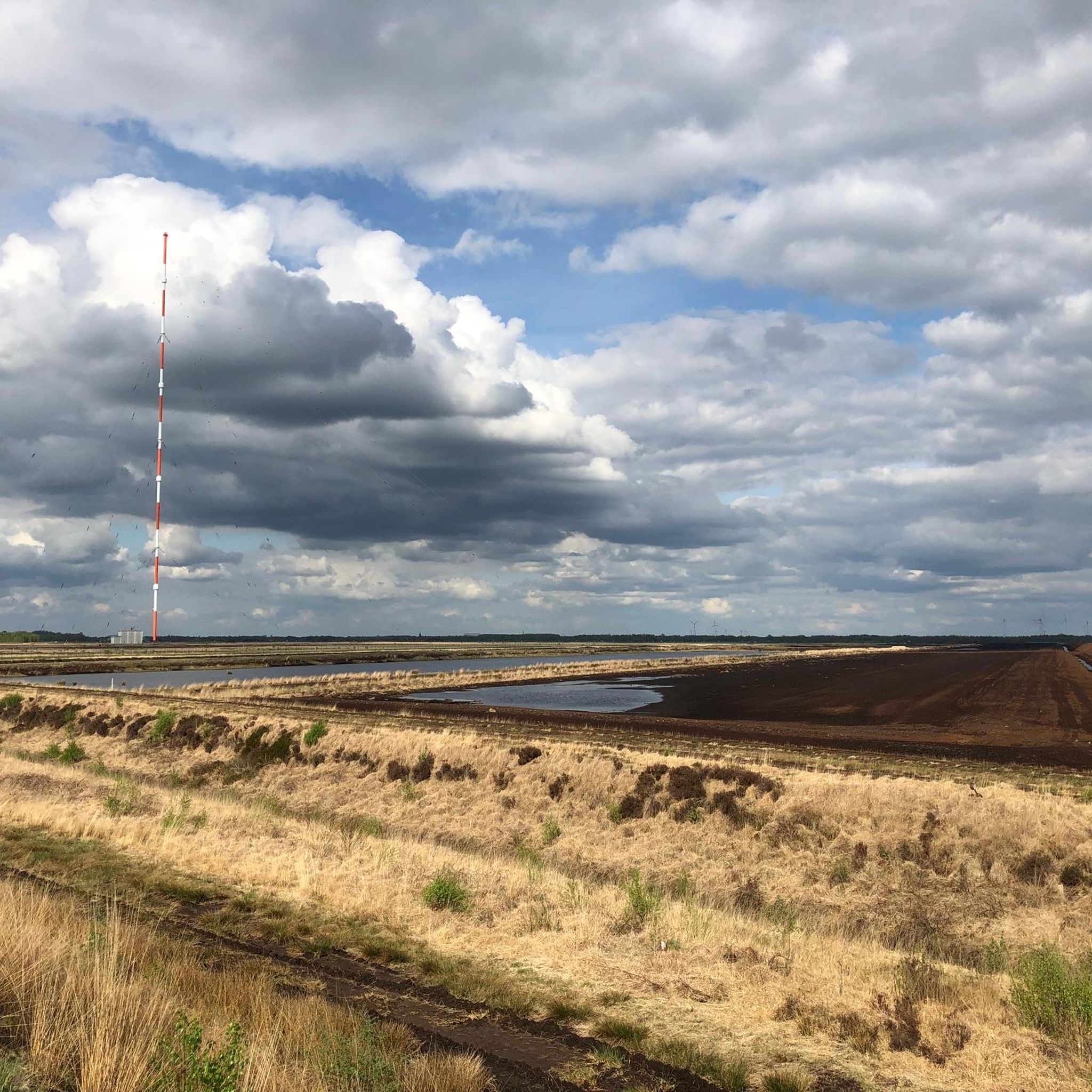
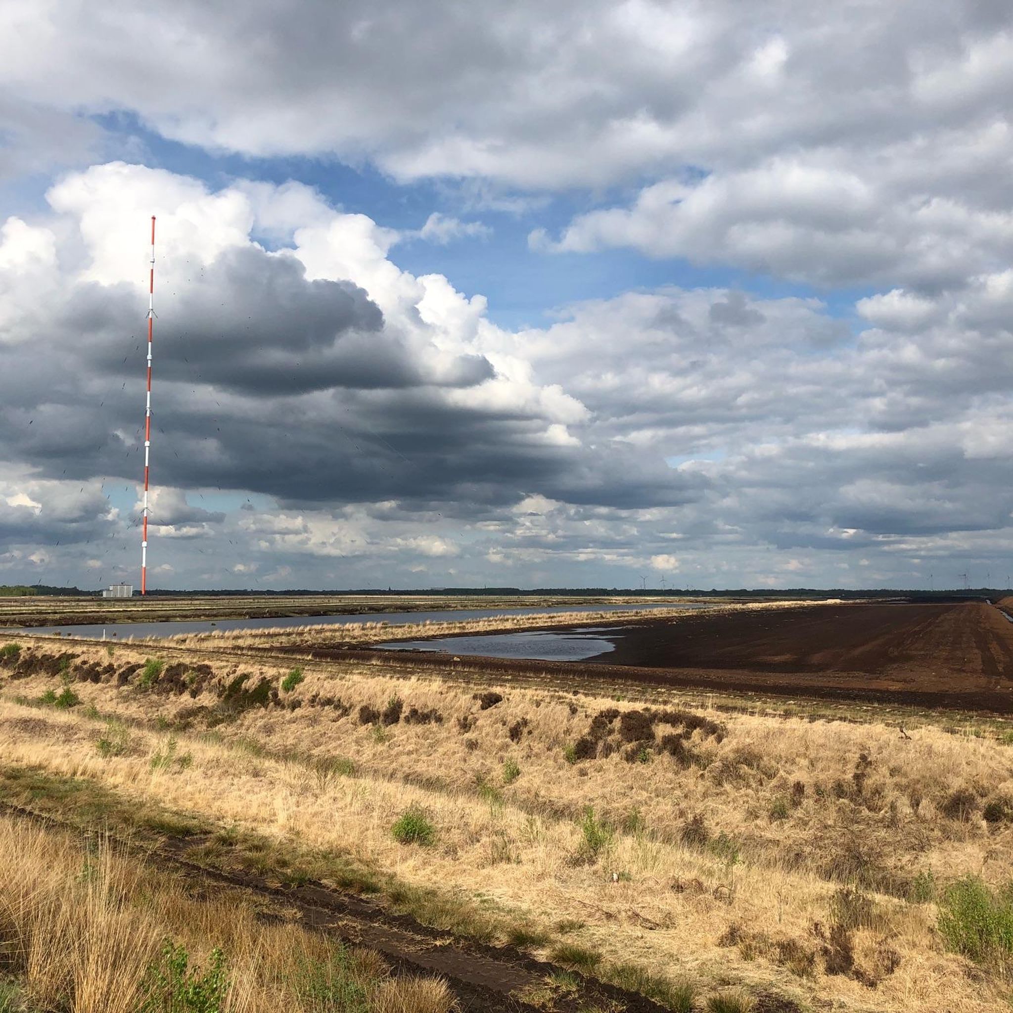
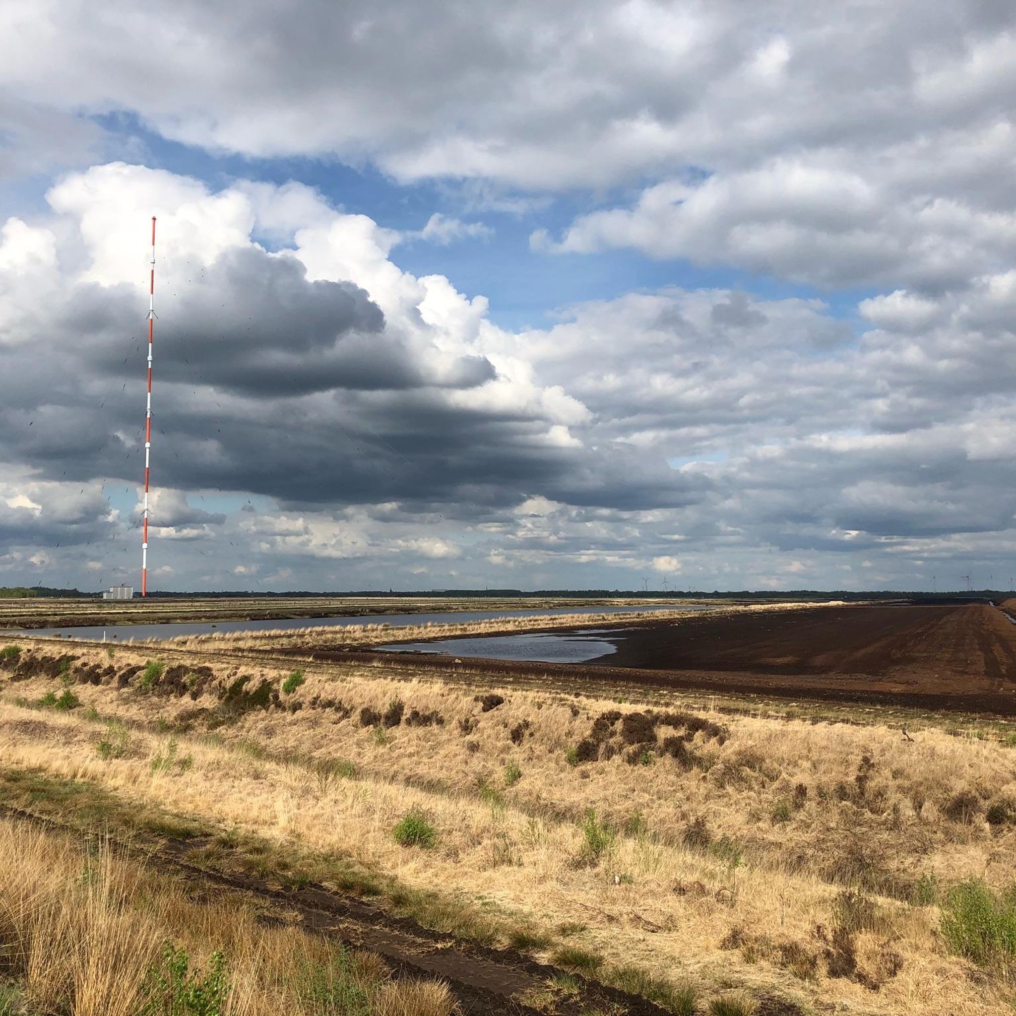
The 35.8 km gravel loop runs along the towers. This agricultural road is NOT to be used and is closed off!!! The Jammertalstrasse should be approached from Langholt.
0
0

Funnily enough, the HL is now located at the Strenge company. It produces a wide range of soils and substrates. In the postwar period, black peat was highly valued as a fuel. In 1949, around 400,000 tons of fuel peat were extracted from the East Frisian moorlands, and the majority was produced using powerful machines. These machines operated in the moorlands, particularly around Ostrhauderfehn, from early spring to late summer. The compressed peat was transported from the moor in the fall by narrow-gauge railway and then loaded onto ships. A special peat loading station was set up over the canal of the 1st Südwieke, where the peat could be efficiently loaded onto ships. A narrow bridge made it possible to push the loaded peat piles onto the bridge, and up to 25 tons of peat could be loaded within a very short time. Not only peat ships were loaded, but also simple barges with a low carrying capacity. These barges were often unmotorized and had to be towed for miles. One or more people pulled the vessel with a rope, while the boatman steered the boat with a long pole at the stern.
3
0
Each mast is mounted on an approximately 3-meter-high ceramic insulator that can withstand a load of 4,000 tons and insulates voltages of up to 250 kV. The masts are each secured by nine guy wires at three levels, each offset by 120 degrees. Four masts form a common antenna that requires no overhead connection. The antenna is fed via coaxial cables to the tuning stations, where the power is adjusted and fed into the mast. It is worth noting that the antenna structure does not have a pronounced directional pattern, as it is smaller than the wavelength of 12.82 km at the current frequency of the DHO38. For inspection and maintenance work, there is a worm-gear-driven elevator and a ladder inside the masts. The elevator can transport up to three people and ensures safety through mandatory safety harnesses.
1
0
Superlatives The naval radio station is one of the tallest military structures in Western Europe and, at 352.8 meters, the second tallest structure in Germany, visible from over 30 kilometers away. The transmitter is located near Saterland-Ramsloh in the Cloppenburg district (Lower Saxony). The borders of the two districts of Cloppenburg and Leer run through the naval radio station site. Five antennas are located in East Frisia, and three are located in Cloppenburg. The site is surrounded by a 12-km-long, continuously monitored fence. A naval radio station with eight identical umbrella antennas mounted on 352.8-meter-high tubular steel masts. These masts have a diameter of 2.20 meters and wall thicknesses of 8 to 13 mm, depending on local loads.
1
0
1933-1945 The Emsland Camps - The National Socialists and their henchmen set up a total of 15 concentration, penal and prisoner of war camps in the Emsland region. Twelve of them are located in the area of today's Emsland district, three in the Grafschaft Bentheim district. Thousands of people were held in the camps, including numerous "political prisoners" who stood in the way of the National Socialists enforcing their rule. The construction of the Emsland camps took place in three phases that overlapped in time: 1933-1936 Establishment and guarding of concentration camps by the SS (Börgermoor, Neusustrum, Esterwegen) 1934-1945 Penal camps under the supervision of the justice administration (Aschendorfermoor, Börgermoor, Rhede-Brual, Walchum, Neusustrum, Oberlangen, Esterwegen, Versen, Fullen) 1939-1945 Prisoner of war camps of the Wehrmacht High Command (Oberlangen, Wesuwe, Versen, Fullen, Groß Hesepe, Dalum, Wietmarschen, Bathorn, Alexisdorf) Hardly anything of the former Emsland camps can be seen on site. At the locations of the former camps, information boards now provide information about the history of each camp. The Emsland camps I Börgermoor II Aschendorfermoor III Brual-Rhede IV Walchum V Neusustrum VI Oberlangen VII Esterwegen VIII Wesuwe IX Versen X Fullen XI Groß Hesepe XII Dalum XIII Wietmarschen XIV Bathorn XV Alexisdorf https://www.gedenkstaette-esterwegen.de/geschichte/die-emslandlager/ The memorial is easy to reach by bike or car. Bringing bikes or dogs is prohibited on the entire site.
2
1

In the direct vicinity of the Esterwegen Memorial
1
0
ナチュラルパークエスターヴェーガードーズでのの人気ルート
ナチュラルパークエスターヴェーガードーズでのの人気観光スポット

komootモバイルアプリでインスピレーションを得よう


さらに探索
他の地域の最高のハイキングを見てみましょう。
