ブレーニャアルタのおすすめウォーキング&ハイキングルート
4.2
(2727)
11,001
ハイカー
73
ハイキング
ブレーニャアルタ周辺でのハイキングは、景色を満喫するのに最適な手段のひとつですが、適切なハイキングルートを見つけることは簡単ではありません。 ブレーニャアルタ周辺の人気ハイキング&ウォーキングコースを参考にすれば、行きたいルートをすぐに見つけられます。
最終更新日: 9月 17, 2026
4.5
(281)
913
ハイカー
9.48km
03:03
400m
400m
中程度のハイキング. ある程度のフィットネスレベルが必要です。 進みやすいルートです。あらゆるスキルレベルに適しています。
4.5
(267)
872
ハイカー
8.11km
02:39
360m
350m
中程度のハイキング. ある程度のフィットネスレベルが必要です。 進みやすいルートです。あらゆるスキルレベルに適しています。

4.1
(44)
142
ハイカー
14.2km
04:24
500m
500m
中程度のハイキング. ある程度のフィットネスレベルが必要です。 進みやすいルートです。あらゆるスキルレベルに適しています。
4.3
(36)
129
ハイカー
5.67km
01:57
300m
300m
中程度のハイキング. ある程度のフィットネスレベルが必要です。 進みやすいルートです。あらゆるスキルレベルに適しています。
4.6
(36)
133
ハイカー
10.9km
03:28
430m
430m
中程度のハイキング. ある程度のフィットネスレベルが必要です。 進みやすいルートです。あらゆるスキルレベルに適しています。
さらに多くのルートや他のユーザーのおすすめ情報を確認できます。
すでにアカウントをお持ちですか?
おすすめのツアーは他のkomootユーザーが実際に経験した何千ものアクティビティに基づいています。
無料アカウントで今日から始めよう
次の冒険が待っています。

コミュニティからのヒント

A great picture on the house wall, dedicated to the parents.
0
0

The “Lo Divino” statue is a bronze artwork in Santa Cruz de La Palma depicting traditional musicians and celebrating the local Christmas music tradition “Lo Divino” – which has been shaping generations with songs and singing since 1947.
1
0
The Balcones de la Avenida Marítima are historically valuable, intricately carved wooden balconies from the 16th/17th centuries, which adorn the city's beach promenade and are now among the most popular sights of Santa Cruz de La Palma.
2
0
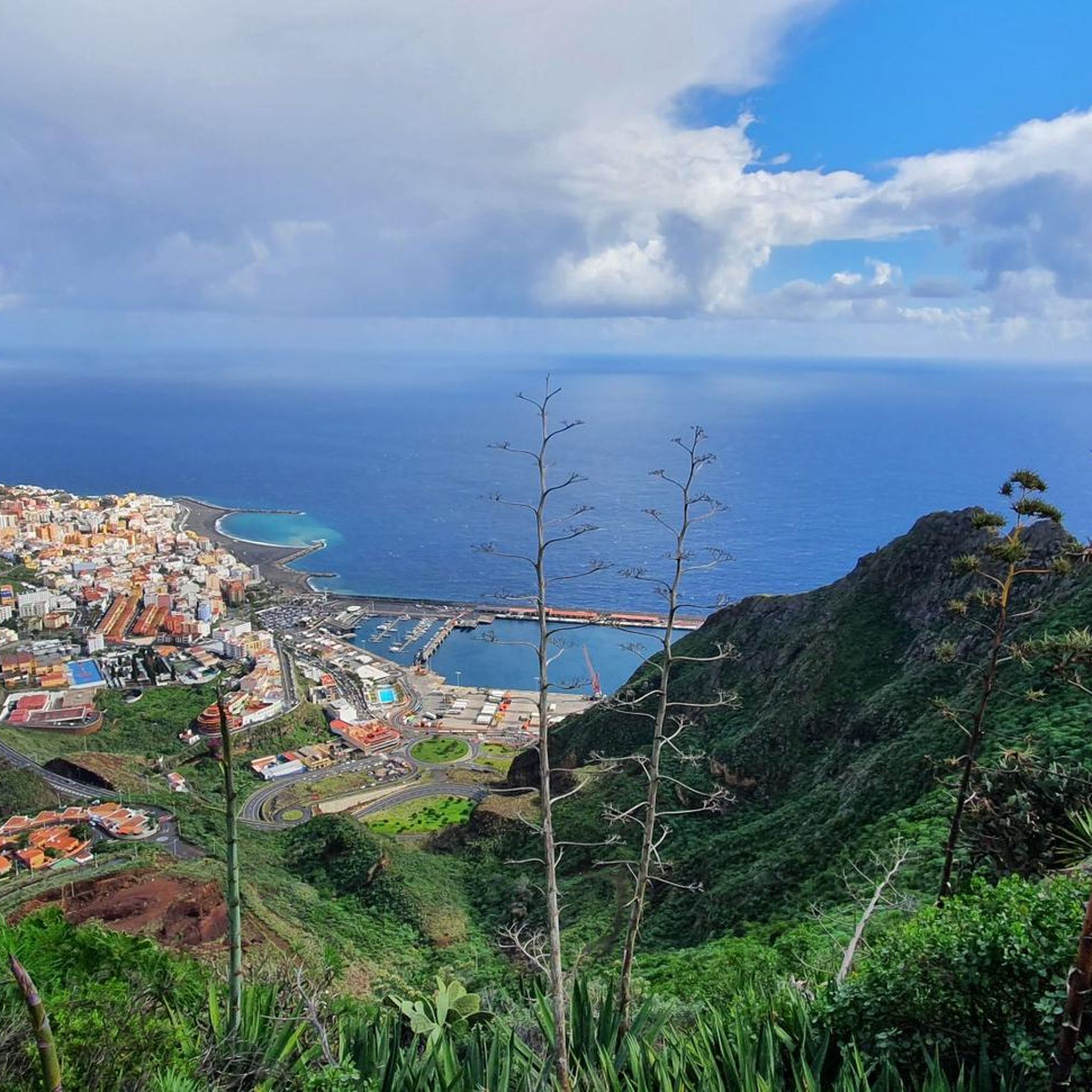
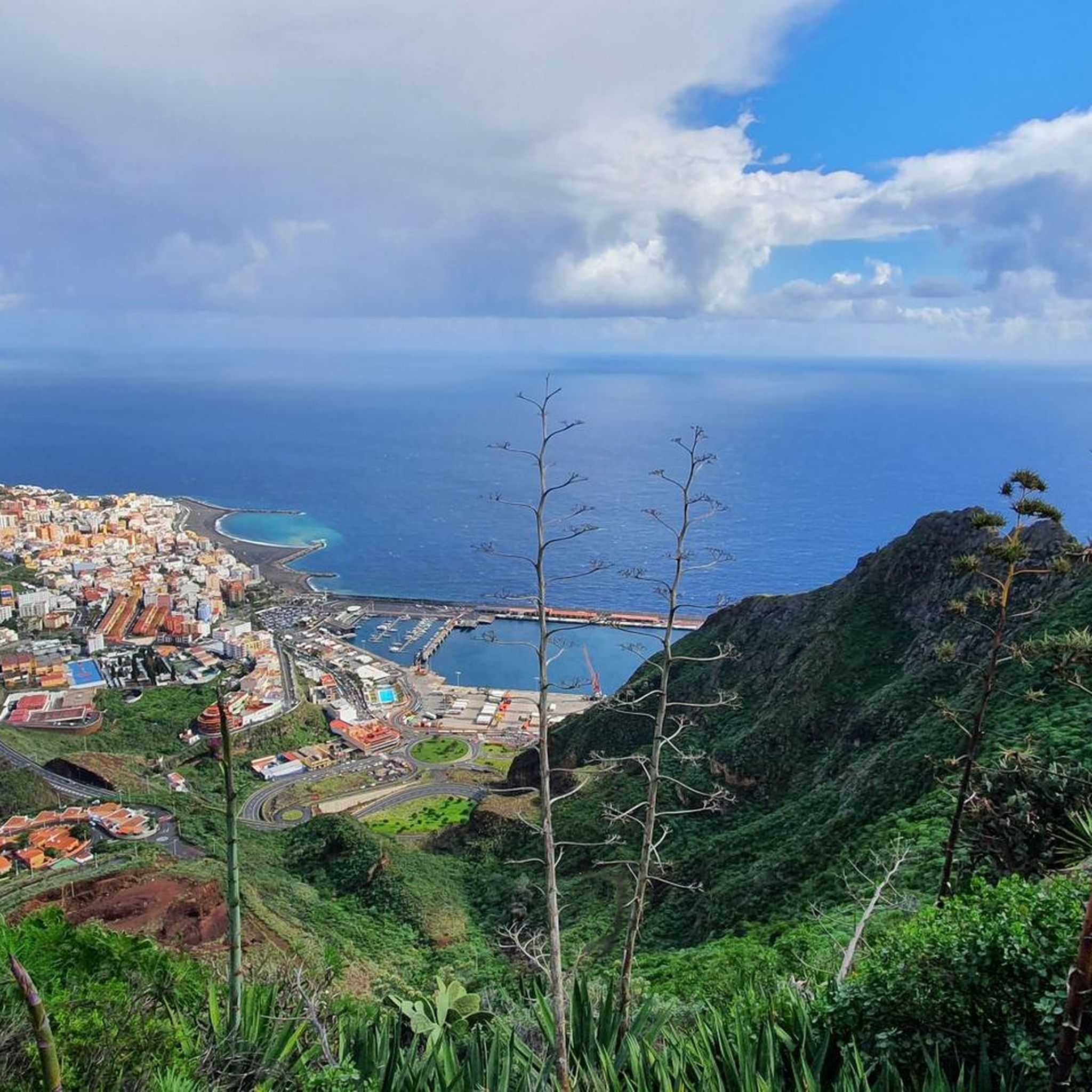
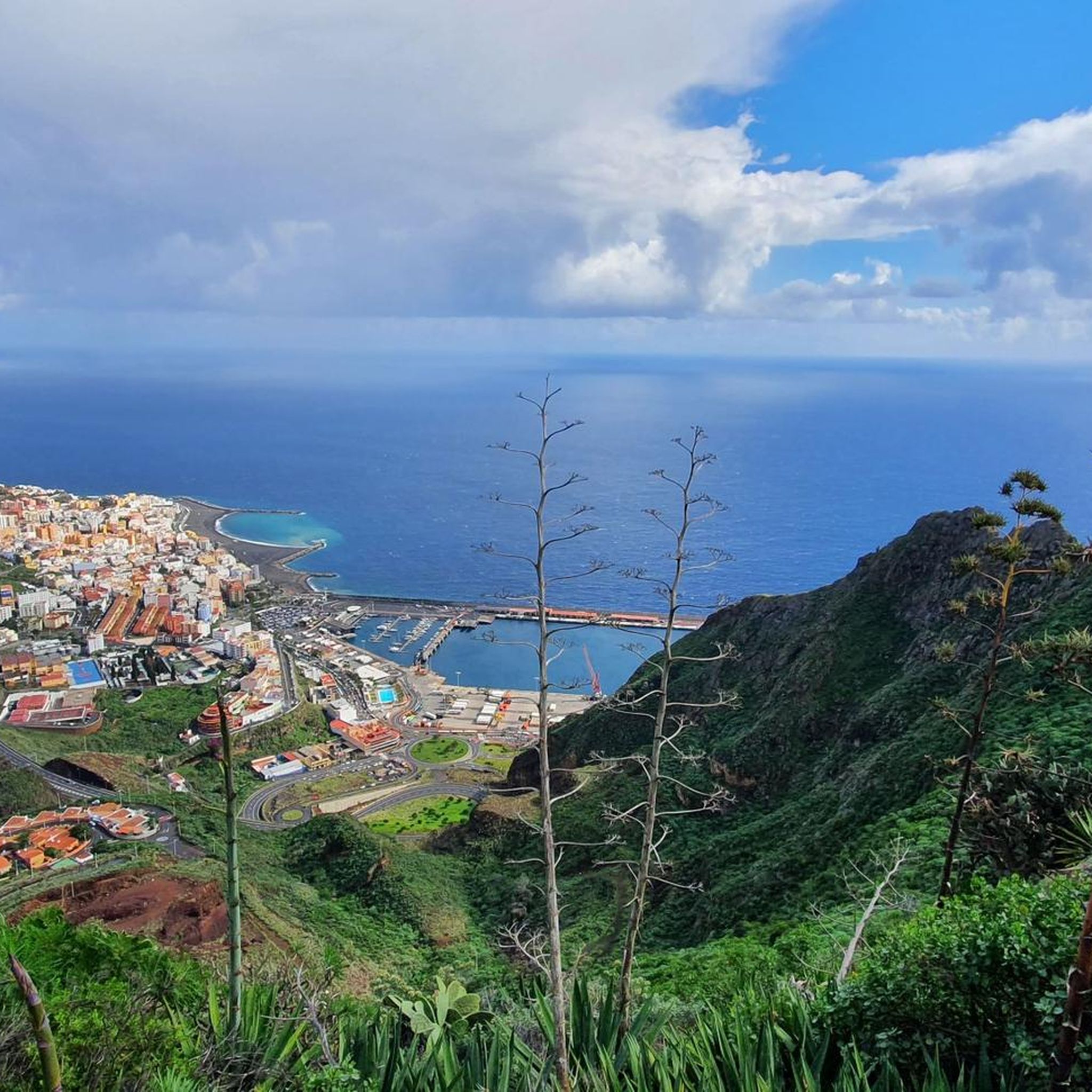
The city beach of Santa Cruz de La Palma is an artificial, black sand beach located directly on Avenida Marítima in the city center. It opened in April 2017 and replaced the former historic beach, Caleta del Varadero, which was lost when the promenade was built in 1949. The beach is approximately 1.2 km long and about 50 m wide, with easy access to the Atlantic Ocean. Easy access directly from the promenade. Showers, restrooms, sun umbrella/lounger rentals, sports areas (volleyball, beach soccer), and a children's playground are available. Suitable for families, swimming, and leisure activities; windsurfing and kitesurfing are also possible. Its location in the capital makes it particularly attractive, as cafés, restaurants, and the promenade are right next door. The black volcanic sand is typical of the Canary Islands. The water is calm, as the city promenade and harbor areas often break up the waves. Especially popular at sunrise, as its easterly location offers a great view over the Atlantic Ocean.
2
0
The square was formerly the Plaza Principal, then Plaza de la Constitución, and has been called Plaza de España since the 19th century. The historic Iglesia de El Salvador is located directly on the square. City Hall (Ayuntamiento): A magnificent 16th-century Renaissance building that dominates the square.
1
0

Beautifully designed balconies
0
0

The name of this highlight is incorrect. The Melchora Spring (Fuente Melchora) is located here. The Mehigan Spring (Fuente Mehigan) is about 800 meters further south as the crow flies. The first photo (with the closed water pipe) was taken at the signpost for the Mehigan Spring. You will pass the open water basins, which once served as cattle watering troughs (Abrevadero), when walking to the Melchora Spring's outlet area. It's called an outlet area because the water emerges from the mountain in many small rivulets or droplets and is collected and channeled away in a stone trough. The name comes from Doña Melchora de Socarro (a noblewoman from the 17th century), who is said to have had a house here.
0
0

komootモバイルアプリでインスピレーションを得よう


さらに探索
他の地域の最高のハイキングを見てみましょう。
