ブレーニャ・バハのおすすめツーリングルート
4.6
(308)
1,794
ライダー
64
ライド
ブレーニャ・バハ周辺でのおすすめのサイクリングルートを参考にして、このエリアを最大限に楽しみましょう。ここでご紹介するのは、ブレーニャ・バハ周辺の人気バイクライドです。ぜひ、自分に合ったルートを見つけてください。
最終更新日: 10月 5, 2026
4.8
(13)
85
ライダー
55.6km
03:58
1,130m
1,130m
難しい自転車ライド. 標準以上のフィットネスレベルが必要です。 全般的に舗装された状態です。あらゆるスキルレベルに適しています。
4.6
(37)
100
ライダー
39.8km
03:12
1,060m
1,050m
難しい自転車ライド. 標準以上のフィットネスレベルが必要です。 全般的に舗装された状態です。あらゆるスキルレベルに適しています。

5.0
(7)
42
ライダー
13.8km
01:09
400m
400m
中程度の自転車ライド. ある程度のフィットネスレベルが必要です。 全般的に舗装された状態です。あらゆるスキルレベルに適しています。
4.7
(38)
129
ライダー
43.8km
03:47
1,550m
1,550m
難しい自転車ライド. 標準以上のフィットネスレベルが必要です。 全般的に舗装された状態です。あらゆるスキルレベルに適しています。
4.7
(6)
41
ライダー
21.3km
02:00
880m
880m
難しい自転車ライド. 標準以上のフィットネスレベルが必要です。 全般的に舗装された状態です。あらゆるスキルレベルに適しています。
さらに多くのルートや他のユーザーのおすすめ情報を確認できます。
すでにアカウントをお持ちですか?
おすすめのツアーは他のkomootユーザーが実際に経験した何千ものアクティビティに基づいています。
無料アカウントで今日から始めよう
次の冒険が待っています。
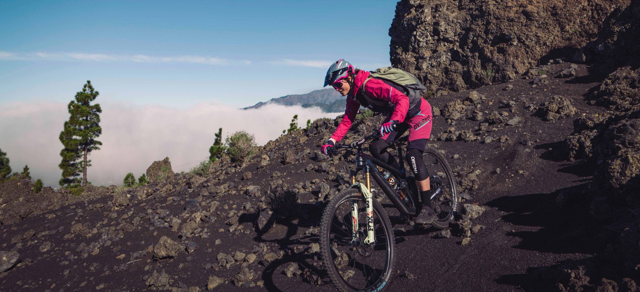
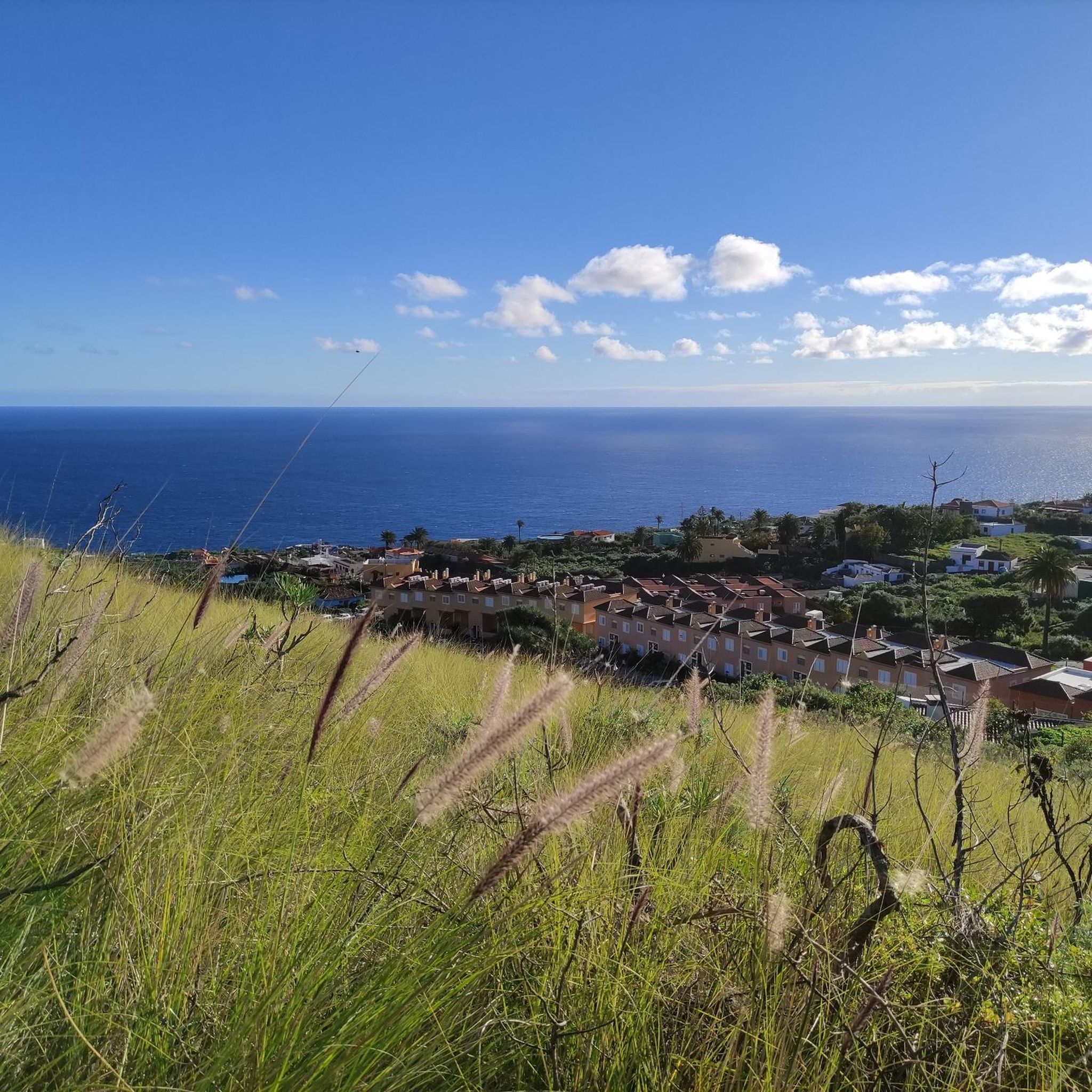
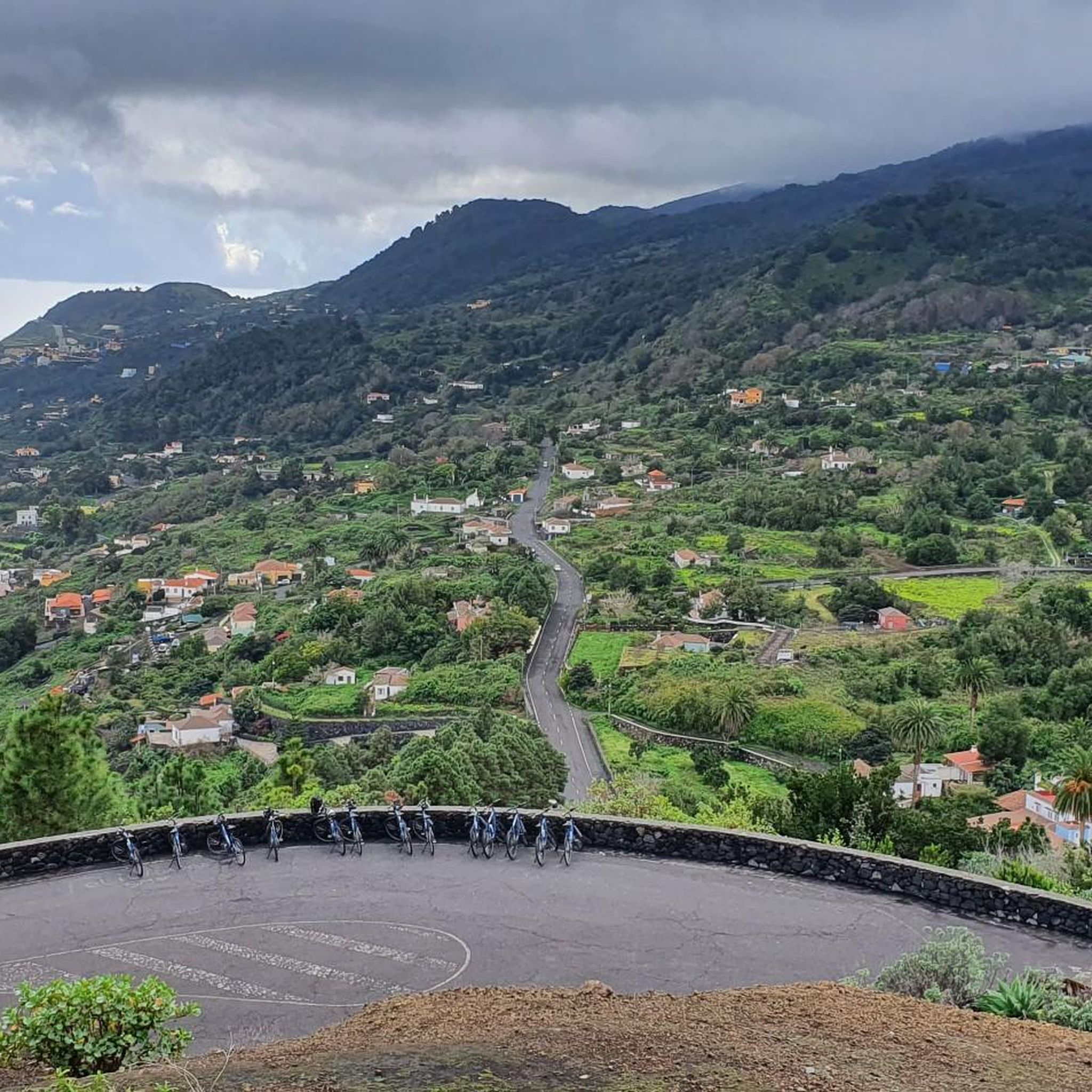

ブレーニャ・バハでのの他の冒険

コミュニティからのヒント

The city beach of Santa Cruz de La Palma is an artificial, black sand beach located directly on Avenida Marítima in the city center. It opened in April 2017 and replaced the former historic beach, Caleta del Varadero, which was lost when the promenade was built in 1949. The beach is approximately 1.2 km long and about 50 m wide, with easy access to the Atlantic Ocean. Easy access directly from the promenade. Showers, restrooms, sun umbrella/lounger rentals, sports areas (volleyball, beach soccer), and a children's playground are available. Suitable for families, swimming, and leisure activities; windsurfing and kitesurfing are also possible. Its location in the capital makes it particularly attractive, as cafés, restaurants, and the promenade are right next door. The black volcanic sand is typical of the Canary Islands. The water is calm, as the city promenade and harbor areas often break up the waves. Especially popular at sunrise, as its easterly location offers a great view over the Atlantic Ocean.
2
0

It was originally called Volcán Fuencaliente. In 1677/78, it erupted on the feast day of Saint Anthony and was renamed Volcán de San Antonio. The volcano lies at an elevation of 632 meters above sea level. At its base, it has an outer diameter of approximately 1 kilometer. Its fairly round crater is about 150 meters deep.
1
0

The grounds belong to the Parador Hotel and could be described as a botanical garden. The names of the larger plants are clearly marked, and even in December there are flowers to discover.
0
0


A very beautiful, newly constructed cycle path leads from the coast up to Fuencaliente/Los Canarios. Almost completely separated from the road, it has a good surface and offers many views of the sea, volcanoes, and banana plantations. The climb continues steadily uphill for many kilometers until about 4 km before Fuencaliente. The cycle path continues on the west side of the island to Los Manchas, but we didn't cycle that section. It's definitely worth the effort; the views are magnificent.
0
0

Locals like to spend their free Sunday here.
1
0
You should definitely see what's going on here on a Sunday. Simply fascinating!
2
0

This picnic and barbecue area is located in a beautiful, shady spot in the forest off the LP-301. It's surrounded by Canary Island pines. The Route of the Volcanoes begins and runs here. A small information center is located in a house.
2
0

komootモバイルアプリでインスピレーションを得よう


さらに探索
他の地域の最高のサイクリングルートを見てみましょう。
