サンアンドレスイソースのおすすめMTBライド
4.6
(79)
466
ライダー
35
ライド
サンアンドレスイソース周辺には魅力的なマウンテンバイクルートがいくつもありますが、冒険を始めるにはその場所とルートを把握する必要があります。ここでは、komootが提供するサンアンドレスイソース周辺でのマウンテンバイクルートのコレクション全体を評価して選び抜いた、人気ルートをご紹介します。各ライドの詳細をぜひご覧ください。
最終更新日: 8月 25, 2026
5
ライダー
14.8km
01:33
520m
520m
難しいマウンテンバイクライド. ある程度のフィットネスレベルが必要です。 高度なライディングスキルが必要です。ツアーの一部で自転車を押して歩く必要があるかもしれません。
1
ライダー
難しいマウンテンバイクライド. ある程度のフィットネスレベルが必要です。 高度なライディングスキルが必要です。ツアーの一部で自転車を押して歩く必要があるかもしれません。

無料新規登録
1
ライダー
42.7km
05:49
2,510m
2,510m
難しいマウンテンバイクライド. 標準以上のフィットネスレベルが必要です。 あらゆるスキルレベルに適しています。
5.0
(4)
36
ライダー
27.8km
04:19
1,360m
1,360m
難しいマウンテンバイクライド. 標準以上のフィットネスレベルが必要です。 高度なライディングスキルが必要です。ツアーの一部で自転車を押して歩く必要があるかもしれません。
4.5
(2)
18
ライダー
39.3km
04:03
1,510m
1,510m
難しいマウンテンバイクライド. 標準以上のフィットネスレベルが必要です。 高度なライディングスキルが必要です。
さらに多くのルートや他のユーザーのおすすめ情報を確認できます。
無料新規登録
すでにアカウントをお持ちですか?
おすすめのツアーは他のkomootユーザーが実際に経験した何千ものアクティビティに基づいています。



コミュニティからのヒント

From the summit of Pico de la Cruz, there's a beautiful view that's well worth every effort! You won't be at the summit long before the summit lords come looking to see if they can find anything. In any case, I consider a visit to the summit a must.
0
0

Geologically speaking, this is an extremely fascinating erosion crater, whose 2 million-year-old volcanic history is evident in its spectacular steep slopes. Inside the 9-kilometer-diameter crater lies the famous national park of the same name, which offers beautiful hiking trails.
0
0

Make sure you bring everything you need. There are two camp sites for 20 people. There's electricity (if there's been enough sun), but no electrical outlets. There's no running water, but there's a cistern with filtered rainwater, which I drank.
4
0

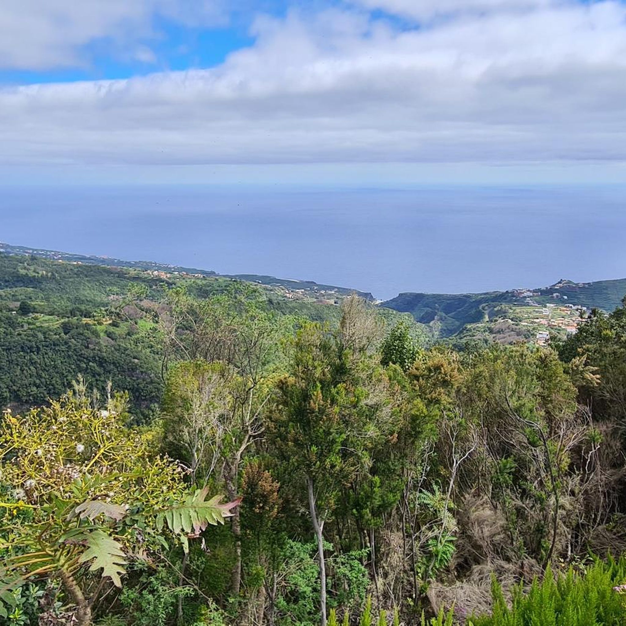
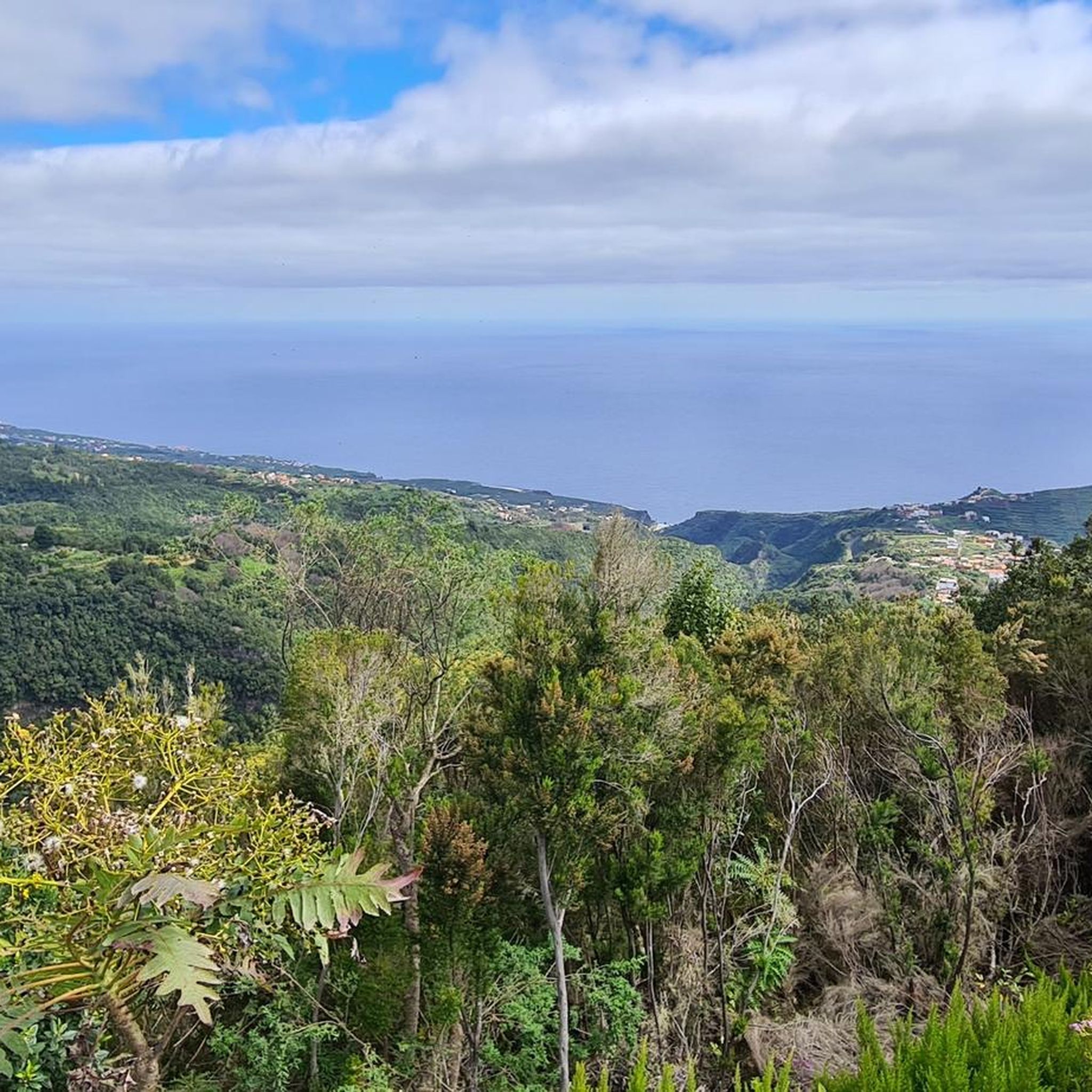
If the weather is good, the short walk to the Pico de la Cruz is worth it. Great views across to Tenerife, Teide and Gomera, and if you're lucky you can also see El Hierro.
0
0


ルートは、テネリフェ島のテイデ山を望む、ツツジの茂みと松林の中にあります。ただただ素晴らしい眺めです
1
0

This is the last place to refill water on the way up.
0
0

The views are spectacular but if it is not on foot, prepare to suffer as much as you can imagine to get to this point, and access by e-bike or MTB is also prohibited. The Pico de la Cruz closes the Caldera de Taburiente in its northeastern area. It reaches an altitude of 2351 m above sea level. n. m. Access The PR-LP 7 trail is a Short Distance trail in La Palma (Canary Islands, Spain) that connects Pico de la Cruz with Los Sauces. The total length of the route is 16,300 meters. There are 2150 meters of elevation gain. The PR-LP trail is a Short Distance trail in La Palma (Canary Islands, Spain) that connects Pico de la Cruz with Barlovento. The total length of the route is 17,200 meters. There are 1810 meters of elevation difference.
0
0

komootモバイルアプリでインスピレーションを得よう


さらに探索
他の地域の最高のMTBトレイルを見てみましょう。
