エイバンのおすすめランニングルート
4.0
(27)
515
ランナー
27
ランニング
エイバンでランニングを楽しめば、このエリアをより深く知ることができます。ランニングに適した美しいルートが見つかるように、komootがエイバンでのルートのコレクション全体を評価して選び抜いた、人気ランニングトレイルをご紹介します。ルートをクリックして詳細を表示し、他のユーザーがアップロードした役立つ情報や写真を閲覧しましょう。
最終更新日: 7月 22, 2026
14
ランナー
13.6km
01:49
490m
490m
難しいジョギング. 標準以上のフィットネスレベルが必要です。 安定して歩行できる技術、丈夫な靴、高標高地での登山経験が必要です。
4.0
(6)
158
ランナー
16.7km
02:26
740m
740m
難しいジョギング. 標準以上のフィットネスレベルが必要です。 安定して歩行できる技術、丈夫な靴、高標高地での登山経験が必要です。

無料新規登録
5.0
(1)
57
ランナー
7.29km
00:49
130m
130m
難しいジョギング. ある程度のフィットネスレベルが必要です。 安定して歩行できる技術、丈夫な靴、高標高地での登山経験が必要です。
52
ランナー
7.85km
00:50
70m
70m
中程度のジョギング. ある程度のフィットネスレベルが必要です。 全般的に舗装された状態です。あらゆるスキルレベルに適しています。
26
ランナー
16.1km
01:50
330m
330m
難しいジョギング. 標準以上のフィットネスレベルが必要です。 安定して歩行できる技術、丈夫な靴、高標高地での登山経験が必要です。
さらに多くのルートや他のユーザーのおすすめ情報を確認できます。
無料新規登録
すでにアカウントをお持ちですか?
おすすめのツアーは他のkomootユーザーが実際に経験した何千ものアクティビティに基づいています。
無料アカウントで今日から始めよう
次の冒険が待っています。
ログインまたは登録

コミュニティからのヒント


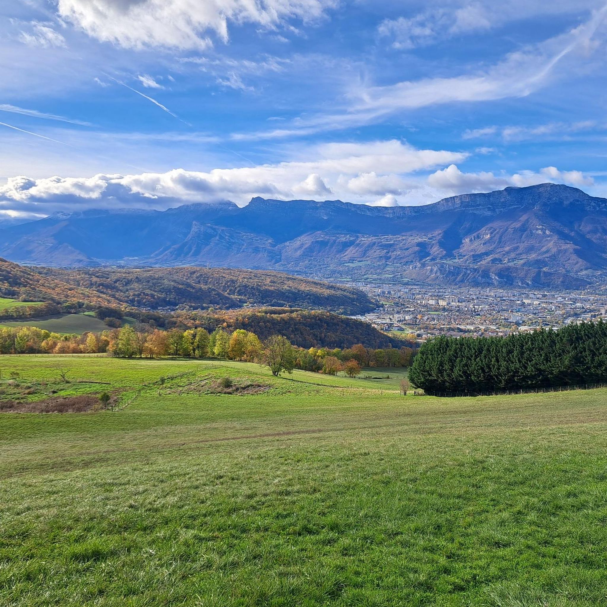
nice viewpoint with an orientation table in front of a clearing.
0
0

superb view we turn our heads to the right we see the Vercors and to the left Belledonne
0
0


Fort Montavie, located 544 meters above sea level, was part of the stronghold of Grenoble, located south-east of the town of Bresson, It is one of the seven forts constituting the fortified belt of Grenoble and was used to protect the Napoleon road and the south of Grenoble.
0
0
The Haute-Jarrie pond is located on the Champagnier plateau and is part of a nature reserve. This is made up of a small natural lake of glacial origin, wooded islets, a reed bed and peripheral wet meadows.
1
0

You can park near the castle Clic clac Kodak and hop, in the saddle
1
0

komootモバイルアプリでインスピレーションを得よう


さらに探索
他の地域の最高のランニングトレイル & ルートを見てみましょう。
