メンズのおすすめランニングルート
4.8
(38)
1,863
ランナー
32
ランニング
メンズでランニングを楽しめば、このエリアをより深く知ることができます。ランニングに適した美しいルートが見つかるように、komootがメンズでのルートのコレクション全体を評価して選び抜いた、人気ランニングトレイルをご紹介します。ルートをクリックして詳細を表示し、他のユーザーがアップロードした役立つ情報や写真を閲覧しましょう。
最終更新日: 10月 18, 2026
19
ランナー
12.7km
02:23
990m
990m
難しいジョギング. 標準以上のフィットネスレベルが必要です。 安定して歩行できる技術、丈夫な靴、高標高地での登山経験が必要です。
12
ランナー
5.86km
00:41
170m
170m
中程度のジョギング. ある程度のフィットネスレベルが必要です。 ほとんどが舗装路です。

9
ランナー
11.2km
01:23
330m
330m
難しいジョギング. 標準以上のフィットネスレベルが必要です。 ほとんどが舗装路です。
5.0
(1)
9
ランナー
7.48km
00:51
150m
150m
中程度のジョギング. ある程度のフィットネスレベルが必要です。 ほとんどが舗装路です。
5.0
(1)
8
ランナー
19.0km
02:12
450m
450m
難しいジョギング. 標準以上のフィットネスレベルが必要です。 ほとんどが舗装路です。
さらに多くのルートや他のユーザーのおすすめ情報を確認できます。
すでにアカウントをお持ちですか?
おすすめのツアーは他のkomootユーザーが実際に経験した何千ものアクティビティに基づいています。
無料アカウントで今日から始めよう
次の冒険が待っています。



コミュニティからのヒント

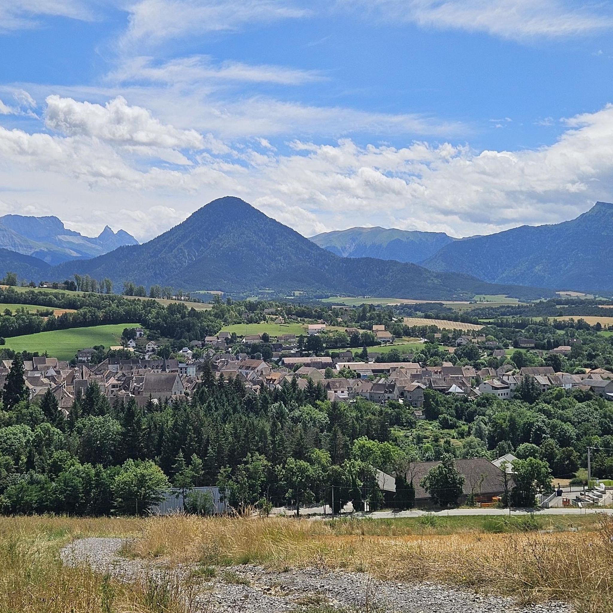
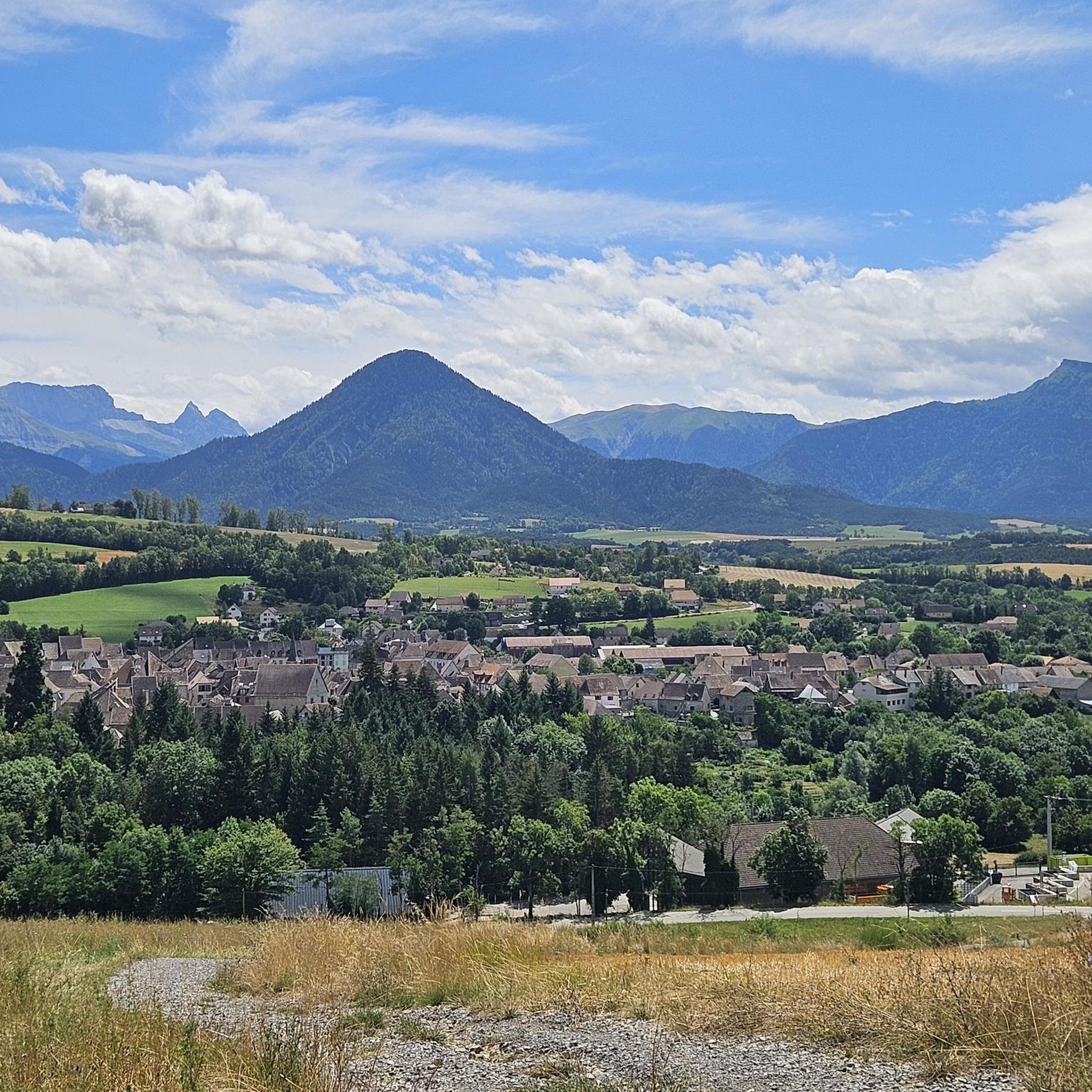
Mensの自治体を指す場合、それはイスール県にあるMensの町で、歴史的なTrièves地域内にあり、モン・エギューユ山塊の麓に位置しています。
8
0

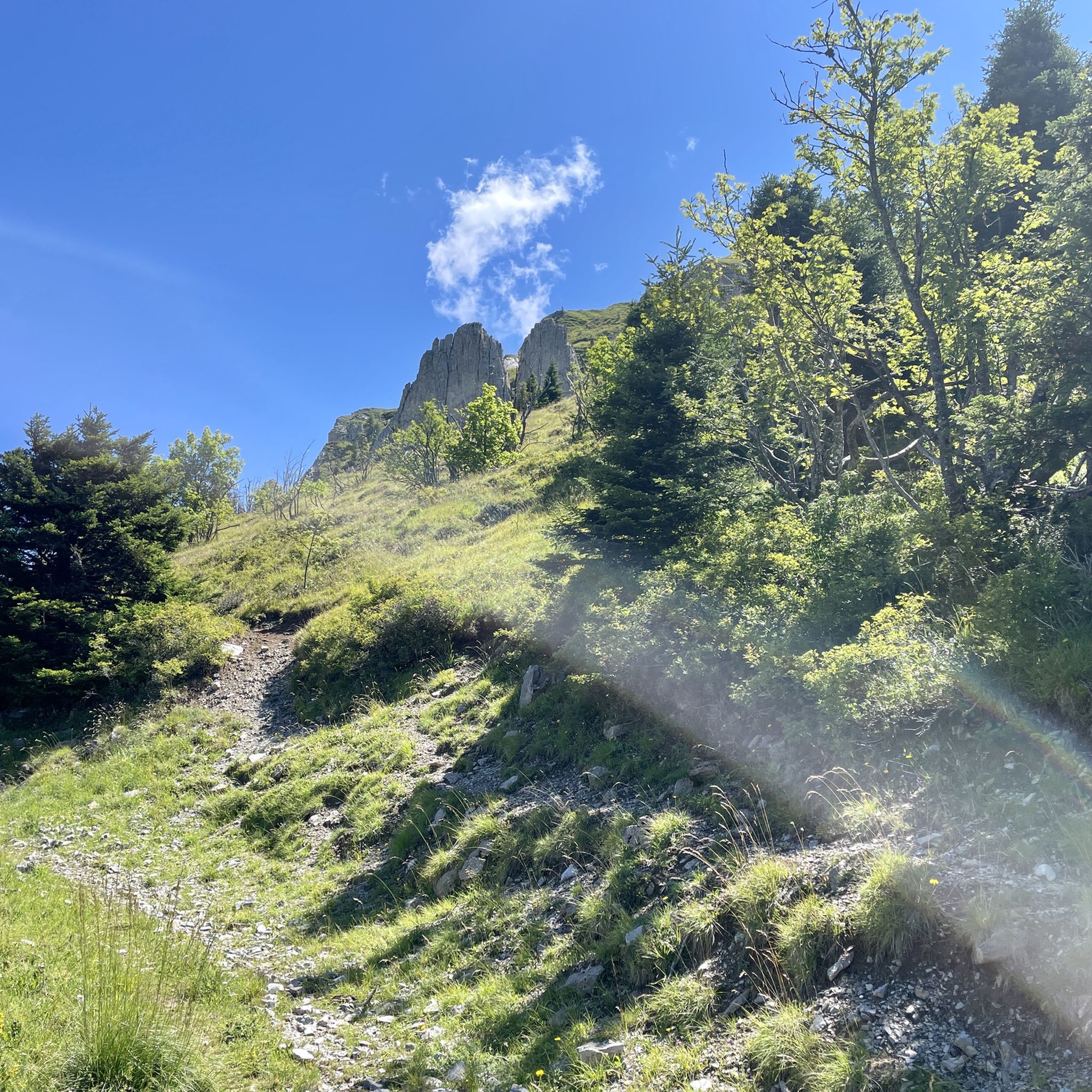
On the ascent of Mont Châtel (clockwise), there are many small caves which can be used as showers when the summit is snowy or when it rains. ;) with a magnificent view below Mens
0
0
Incredible view of the Aiguille and the Châtel
0
0

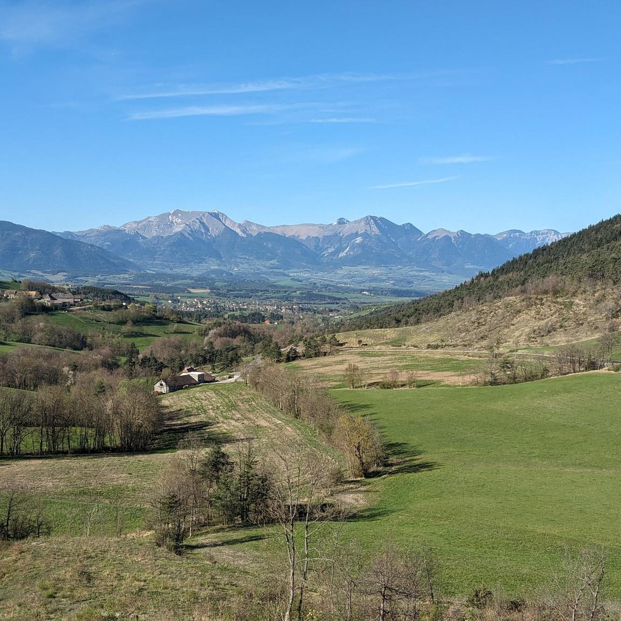
On this section you will at times have the feeling of going off-road. The foothills of the Devoluy massif that cover the bottom of the landscape help to make this passage exotic. You can admire the Rattier or the Bonnet de l'Évêque, which peak at 2,474 and 2,663 meters respectively. These steep peaks hide behind them the roof of the Devoluy: the Obiou.
0
0
From this superb gravel path, which winds through pastures, you can admire the first summits of the Devoluy massif. Its summit, the Grande Tête de l'Obiou, culminates at 2,789 meters.
0
0

Mens is a small town with an important architectural heritage. In particular, there is a hall dating from the 15th century and listed in the register of historical monuments, like the Church of the Assumption of Mens, built in the 12th century. Several hamlets and farms are added to the main town. You will find a few shops and cafés in the town centre, as well as a campsite.
2
0

Beautiful views.... great to stay here
0
0
メンズでのの人気観光スポット

komootモバイルアプリでインスピレーションを得よう


さらに探索
他の地域の最高のランニングトレイル & ルートを見てみましょう。
